Highlands Wood

Wood, Forest in Kent

England

Highlands Wood

Swanley Full Gospel Church On Hockenden Lane. Albert Viney Ltd, Upper Hockenden Farm is behind small church.
Swanley Full Gospel Church Credit: David Anstiss

Highlands Wood, located in Kent, England, is a picturesque and expansive woodland area renowned for its natural beauty and diverse ecosystem. Covering an area of approximately 100 hectares, the wood is part of the larger High Weald Area of Outstanding Natural Beauty.

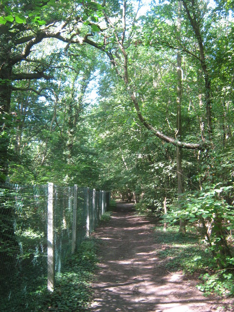
The wood is characterized by its dense canopy of broadleaf trees, predominantly consisting of oak, beech, and birch. These trees provide a haven for a variety of wildlife, including deer, badgers, foxes, and numerous species of birds. The wood is particularly renowned for its rich birdlife, with sightings of woodpeckers, owls, and various songbirds being common.

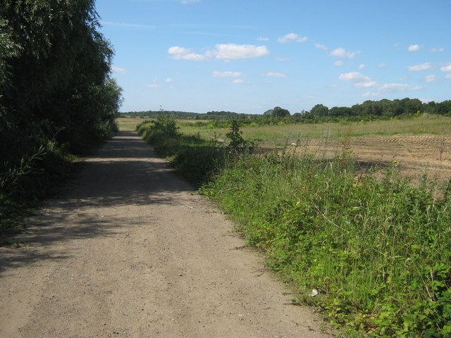
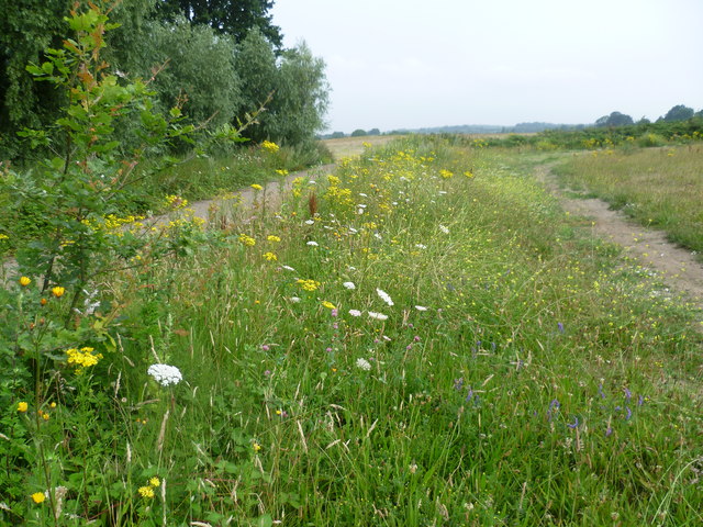
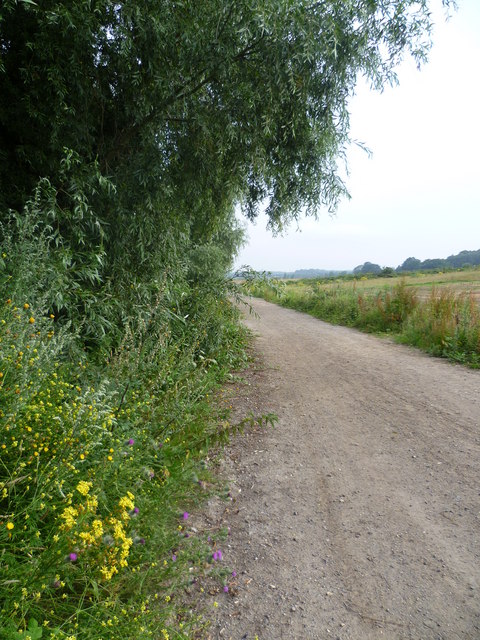
Visitors to Highlands Wood can explore its numerous pathways and trails, which wind their way through the tranquil woodland. These paths offer opportunities for both leisurely strolls and more challenging hikes, catering to visitors of all ages and fitness levels. The wood is also a popular destination for dog walkers, providing a peaceful and natural environment for both pets and their owners.

In addition to its natural beauty, Highlands Wood also holds historical significance. It is believed to have been a part of the ancient Forest of Andredsweald, which covered a vast area of southern England during the medieval period. The wood has remnants of ancient earthworks and boundaries, adding to its cultural and historical value.

Overall, Highlands Wood in Kent is a haven for nature lovers and outdoor enthusiasts alike. Its stunning landscapes, diverse wildlife, and rich history make it a must-visit destination for those seeking a peaceful and immersive woodland experience.

If you have any feedback on the listing, please let us know in the comments section below.

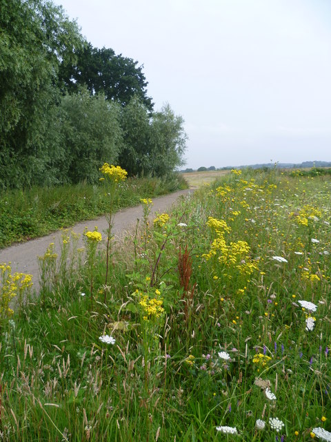
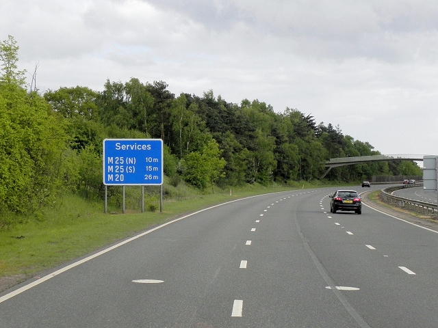
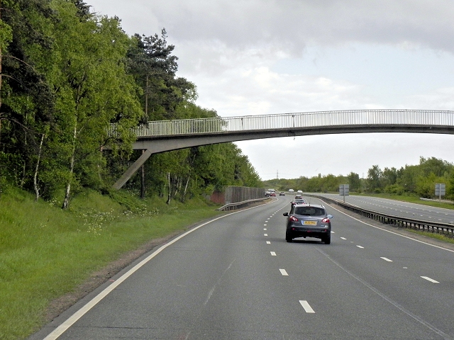
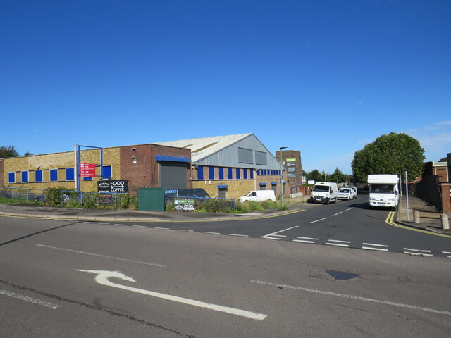
Highlands Wood Images

Images are sourced within 2km of 51.397648/0.13150258 or Grid Reference TQ4868. Thanks to Geograph Open Source API. All images are credited.

Swanley Full Gospel Church On Hockenden Lane. Albert Viney Ltd, Upper Hockenden Farm is behind small church.
Swanley Full Gospel Church
On Hockenden Lane. Albert Viney Ltd, Upper Hockenden Farm is behind small church.
A20 goes over Hockenden Lane. A20 Dual Carriageway road bridge goes left to Maidstone (via M20) or to M25, from London. Lane leads under bridge to Hockenden Wood from Swanley.
A20 goes over Hockenden Lane.
A20 Dual Carriageway road bridge goes left to Maidstone (via M20) or to M25, from London. Lane leads under bridge to Hockenden Wood from Swanley.
Footbridge near Swanley This bridge is on a footpath from Stone Cross Road, Crockenhill towards Lynden Way. It crosses over the railway between Swanley and St Mary Cray.
Footbridge near Swanley
This bridge is on a footpath from Stone Cross Road, Crockenhill towards Lynden Way. It crosses over the railway between Swanley and St Mary Cray.
Railway to St Mary Cray As seen from <a href="https://www.geograph.org.uk/photo/2526021">TQ5068 : Footbridge near Swanley</a>
This line leads from Swanley leading to London (via St Mary Cray).
Railway to St Mary Cray
As seen from TQ5068 : Footbridge near Swanley This line leads from Swanley leading to London (via St Mary Cray).
Footpath beside the railway A path leads from Stone Cross Road, over the railway (via a footbridge) and then through Bourne Wood heading towards Lydden Way, Swanley.

Note; footpath does not match OS map due to development work beside the A20.
Footpath beside the railway
A path leads from Stone Cross Road, over the railway (via a footbridge) and then through Bourne Wood heading towards Lydden Way, Swanley. Note; footpath does not match OS map due to development work beside the A20.
Track towards Hockenden A track (and footpath) leads from Lydden Way, Swanley to Bourne Wood and then towards Hockenden Lane.
Track towards Hockenden
A track (and footpath) leads from Lydden Way, Swanley to Bourne Wood and then towards Hockenden Lane.
Wild flowers in a field edge near Bourne Wood The footpath from Bourne Wood and the edge of Swanley is on the left as it heads towards Hockenden. The A20 is just off to the right and Joydens Wood is on the horizon.
Wild flowers in a field edge near Bourne Wood
The footpath from Bourne Wood and the edge of Swanley is on the left as it heads towards Hockenden. The A20 is just off to the right and Joydens Wood is on the horizon.
Footpath from Bourne Wood to Hockenden The footpath from Bourne Wood and the edge of Swanley heads towards Hockenden. The A20 is just off to the right and Joydens Wood is on the horizon.
Footpath from Bourne Wood to Hockenden
The footpath from Bourne Wood and the edge of Swanley heads towards Hockenden. The A20 is just off to the right and Joydens Wood is on the horizon.
Wild flowers alongside a footpath near Bourne Wood Wild flowers brighten up the footpath from Bourne Wood and the edge of Swanley as it heads towards Hockenden. The A20 is just off to the right and Joydens Wood is on the right hand horizon.
Wild flowers alongside a footpath near Bourne Wood
Wild flowers brighten up the footpath from Bourne Wood and the edge of Swanley as it heads towards Hockenden. The A20 is just off to the right and Joydens Wood is on the right hand horizon.
A20 near Swanley The sign is blue rather than green (as would be expected on an A-road) because the services to which it refers are all on motorways (M20 or M25).
A20 near Swanley
The sign is blue rather than green (as would be expected on an A-road) because the services to which it refers are all on motorways (M20 or M25).
Footbridge over The A20 near Swanley The A20 runs from the London Borough of Lewisham to Dover, Kent. It runs through the major towns of Maidstone, Ashford and Folkestone, terminating at the port of Dover.
Footbridge over The A20 near Swanley
The A20 runs from the London Borough of Lewisham to Dover, Kent. It runs through the major towns of Maidstone, Ashford and Folkestone, terminating at the port of Dover.
Sayes Court Road, St Mary Cray Houses on Sayes Court Road in St Mary Cray, in the outer suburbs of South East London.
Sayes Court Road, St Mary Cray
Houses on Sayes Court Road in St Mary Cray, in the outer suburbs of South East London.
Houses on Leesons Hill, St Mary Cray Houses on Leesons Hill, in St Mary Cray in the outer suburbs of south east London.

This image was taken at around midday on a very sunny October day.  The shadows are nevertheless longer than during the summer months, as the sun is lower in the sky.
Houses on Leesons Hill, St Mary Cray
Houses on Leesons Hill, in St Mary Cray in the outer suburbs of south east London. This image was taken at around midday on a very sunny October day. The shadows are nevertheless longer than during the summer months, as the sun is lower in the sky.
Murray Road, St Mary Cray Murray Road accesses a small industrial estate in St Mary Cray, in the outer suburbs of south east London.
Murray Road, St Mary Cray
Murray Road accesses a small industrial estate in St Mary Cray, in the outer suburbs of south east London.
Warehouse in St Mary Cray A warehouse in St Mary Cray, in the outer suburbs of south east London.
Warehouse in St Mary Cray
A warehouse in St Mary Cray, in the outer suburbs of south east London.
Railway viaduct, St Mary Cray A railway viaduct in St Mary Cray, in the outer suburbs of south east London.  The viaduct carries the main line from London to Chatham, Dover and the Isle of Thanet.

Look closely at the viaduct arches, and it may become obvious that it is two structures, one behind the other.  The railway line originally had two tracks, carried by the viaduct further back.  Two more tracks were added in the late 1950s, which meant the viaduct needed to be widened.  This was done by adding the section of viaduct in front, closer to the camera.
Railway viaduct, St Mary Cray
A railway viaduct in St Mary Cray, in the outer suburbs of south east London. The viaduct carries the main line from London to Chatham, Dover and the Isle of Thanet. Look closely at the viaduct arches, and it may become obvious that it is two structures, one behind the other. The railway line originally had two tracks, carried by the viaduct further back. Two more tracks were added in the late 1950s, which meant the viaduct needed to be widened. This was done by adding the section of viaduct in front, closer to the camera.
Burrfield Drive, St Mary Cray Burrfield Drive is a residential road in St Mary Cray, in the outer suburbs of south east London.
Burrfield Drive, St Mary Cray
Burrfield Drive is a residential road in St Mary Cray, in the outer suburbs of south east London.
Berens Road, St Mary Cray Berens Road is a residential road in St Mary Cray, in the outer suburbs of south east London.
Berens Road, St Mary Cray
Berens Road is a residential road in St Mary Cray, in the outer suburbs of south east London.
Show me another place!

Highlands Wood is located at Grid Ref: TQ4868 (Lat: 51.397648, Lng: 0.13150258)

Unitary Authority: Bromley

Police Authority: Metropolitan

What 3 Words

///fires.scars.switch. Near Swanley, Kent

Nearby Locations

Highlands Wood

Related Wikis

The Warren, Bromley

The Warren is a 13.5-hectare (33-acre) nature reserve in St Mary Cray in the London Borough of Bromley. It is a Site of Borough Importance for Nature Conservation...

Orpington Urban District

Orpington was an English local government district in northwest Kent from 1934 to 1965 around the town of Orpington. It was a suburb of London and formed...

The Bull, St Paul's Cray

The Bull is a pub on Main Road, St Paul's Cray, London Borough of Bromley. It is a Grade II listed building, dating back to the 18th century. == References... ==

Kevington, London

Kevington, sometimes spelt Kevingtown, is a rural hamlet in South East London, England, within the London Borough of Bromley. It is located north east...

Nearby Amenities

Located within 500m of 51.397648,0.13150258
Barrier: bollard
Bicycle: yes
Foot: yes
Horse: yes
Motorcycle: yes
Lat/Long: 51.4013634/0.131764
Height: 30
Man Made: tower
Tower Type: communication
Lat/Long: 51.3955891/0.1347402
Turning Circle
Lat/Long: 51.3975234/0.1274468
Barrier: block
Bicycle: yes
Foot: yes
Horse: yes
Material: reinforced_concrete
Motor Vehicle: no
Source: survey
Lat/Long: 51.3938901/0.1283469
Waste Basket
Waste: trash
Lat/Long: 51.4013808/0.1330801
Waste Basket
Waste: dog_excrement
Lat/Long: 51.4013595/0.1330594
Barrier: stile
Foot: yes
Stile: stepover
Lat/Long: 51.4008746/0.1324592
The data included in this document is from www.openstreetmap.org. The data is made available under ODbL.

Have you been to Highlands Wood?

Leave your review of Highlands Wood below (or comments, questions and feedback).