Great Wood
Wood, Forest in Essex Epping Forest
England
Great Wood
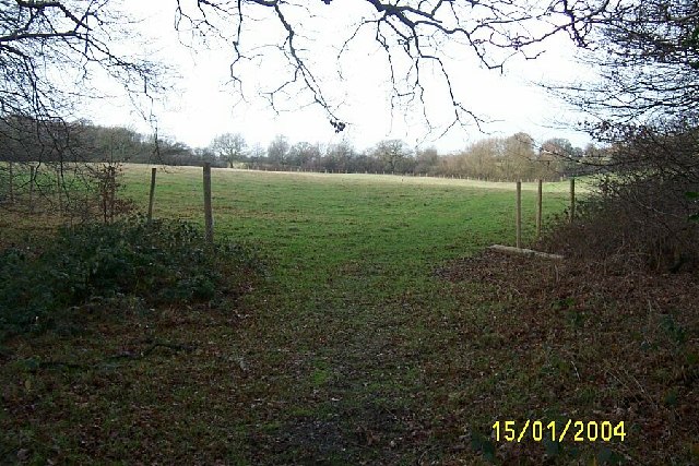
Great Wood is a large forest located in the county of Essex, in the southeastern part of England. Covering an area of approximately 500 acres, it is known for its abundant wildlife and diverse ecosystem. The forest is situated near the village of Great Waltham and is easily accessible via various walking trails and paths.
The woodland is predominantly made up of broad-leaved deciduous trees, including oak, beech, and ash, creating a dense and picturesque forest landscape. Great Wood is also home to a variety of plant species, including bluebells, wild garlic, and ferns, which flourish in its fertile soil.
The forest provides a habitat for numerous animal species, making it a popular spot for wildlife enthusiasts and nature lovers. Visitors to Great Wood may encounter deer, foxes, badgers, and a wide range of bird species, including woodpeckers, owls, and various songbirds.
The forest is managed by the local authorities, who ensure its preservation and conservation. It offers visitors a peaceful and tranquil environment, perfect for leisurely walks, picnics, and birdwatching. The walking trails within the wood cater to different abilities, ranging from easy strolls to more challenging hikes.
Great Wood also holds historical significance, with traces of ancient settlements and archaeological sites dating back centuries. These remnants serve as a reminder of the area's rich past and provide an added layer of intrigue for those interested in history and archaeology.
Overall, Great Wood, Essex, with its stunning woodland scenery, diverse wildlife, and historical significance, offers a delightful escape for nature enthusiasts and those seeking a peaceful retreat in the heart of Essex.
If you have any feedback on the listing, please let us know in the comments section below.
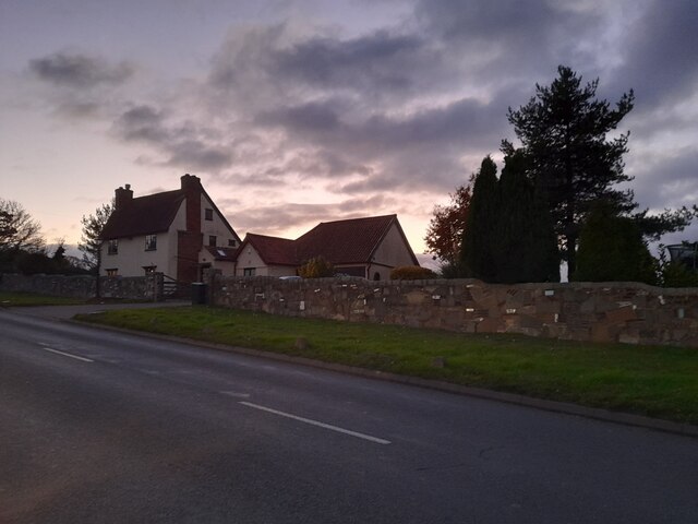
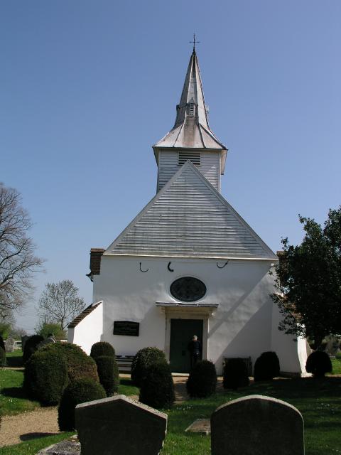
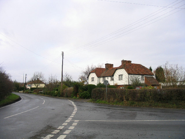
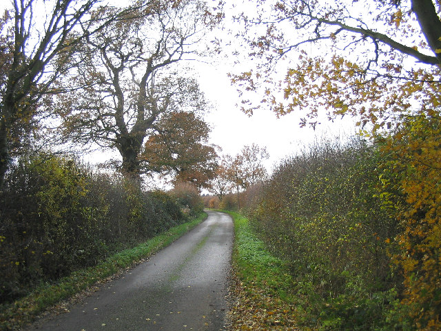
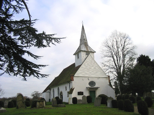
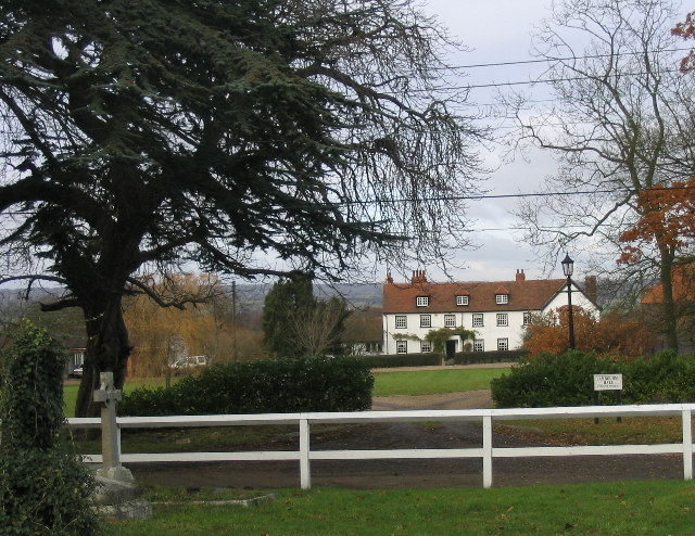
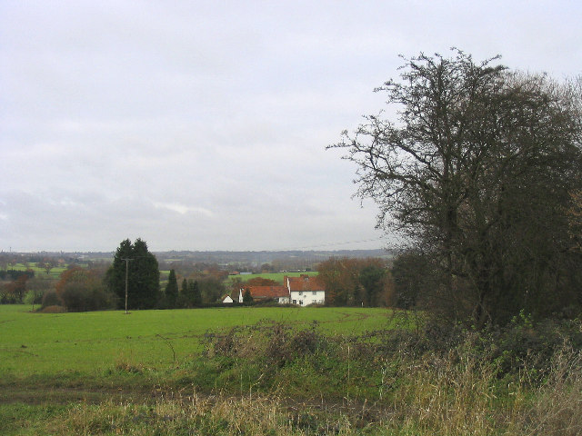
Great Wood Images
Images are sourced within 2km of 51.645937/0.14301352 or Grid Reference TQ4896. Thanks to Geograph Open Source API. All images are credited.


Great Wood is located at Grid Ref: TQ4896 (Lat: 51.645937, Lng: 0.14301352)
Administrative County: Essex
District: Epping Forest
Police Authority: Essex
What 3 Words
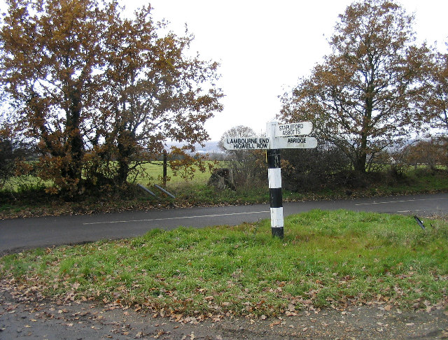
///assist.locate.props. Near Abridge, Essex
Nearby Locations
Related Wikis

Stapleford Aerodrome
Stapleford Aerodrome (ICAO: EGSG) is an operational general aviation aerodrome in the Epping Forest district of Essex, England, near the village of Abridge...

Lambourne
Lambourne is a civil parish in the Epping Forest district of Essex, England. It is located approximately 4.5 miles (7 km) south of Epping and 5 miles...

Brookhouse Brook
Brookhouse Brook is a 6.23 km (3.87 mi) long stream (brook) in the Epping Forest District of Essex, England, that is a tributary to the River Roding....

Stapleford Abbotts
Stapleford Abbotts is a village and civil parish in the Epping Forest district of Essex, approximately 5.5 mi (9 km) SW of Ongar, 4.5 mi (7 km) N of Romford...
Nearby Amenities
Located within 500m of 51.645937,0.14301352Have you been to Great Wood?
Leave your review of Great Wood below (or comments, questions and feedback).