Tanhouse Wood
Wood, Forest in Kent Sevenoaks
England
Tanhouse Wood
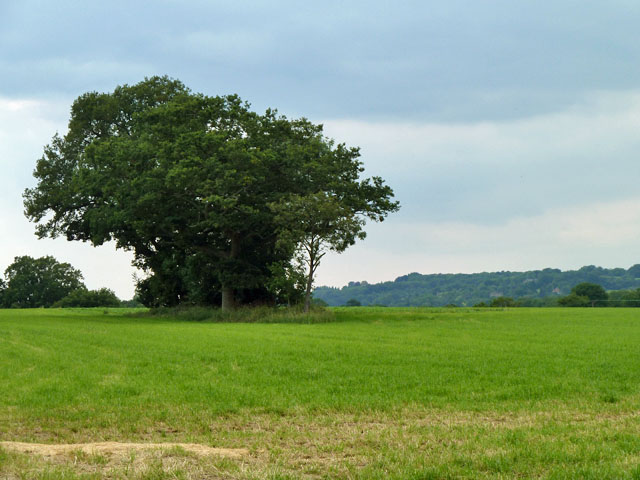
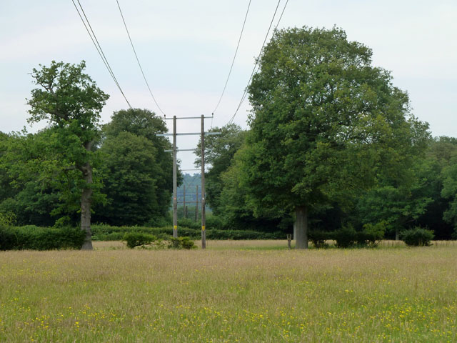
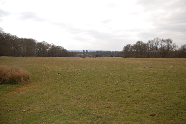
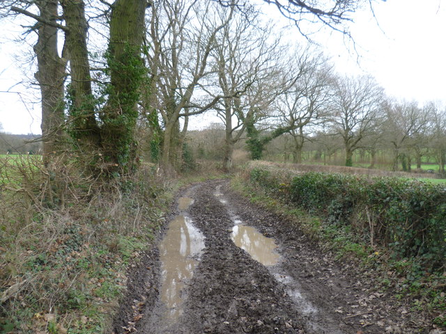
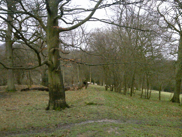
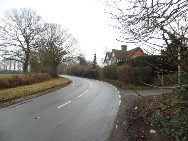
Tanhouse Wood is a beautiful woodland area located in the county of Kent, England. Covering an area of approximately 50 acres, it is situated near the village of Biddenden. The wood is predominantly made up of broadleaf trees, with species such as oak, ash, beech, and birch creating a diverse and vibrant canopy.
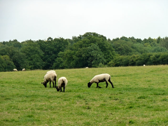
The woodland is known for its rich biodiversity, providing a habitat for a variety of flora and fauna. Bluebells carpet the forest floor in spring, creating a stunning display of color, while birds such as woodpeckers, owls, and warblers can be heard throughout the year. The wood is also home to a number of small mammals, including badgers, foxes, and squirrels.
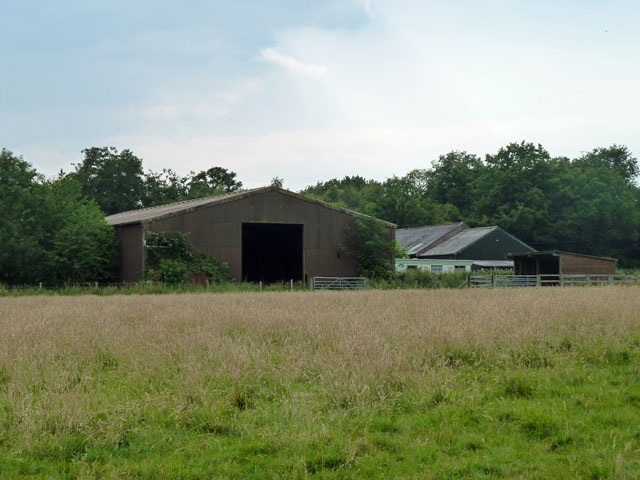
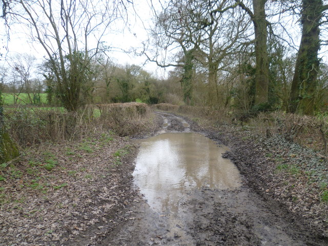
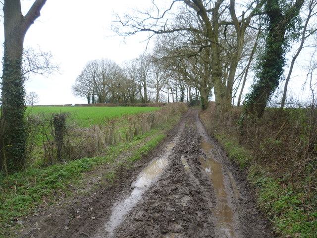
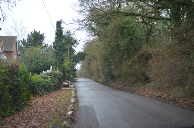
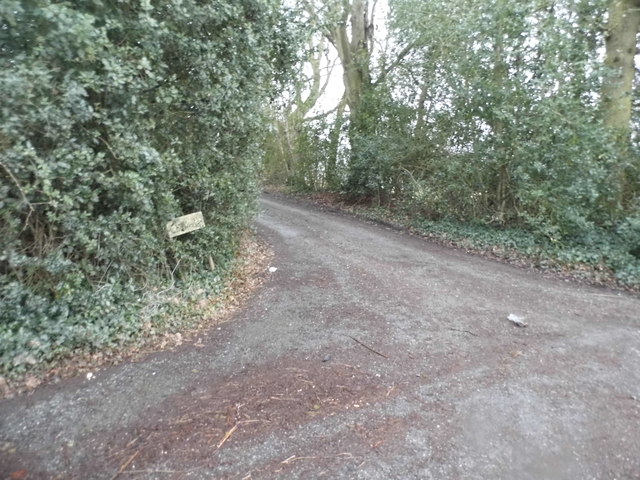
Visitors to Tanhouse Wood can enjoy a network of well-maintained footpaths that wind through the forest, allowing for peaceful walks and nature exploration. There are also picnic areas and benches scattered throughout the wood, providing opportunities for relaxation and enjoying the tranquil surroundings.
The wood is managed by the local council, who ensure the preservation of its natural beauty and protect the wildlife within. This includes regular maintenance of the footpaths and controlling invasive species to maintain the delicate balance of the ecosystem.
Tanhouse Wood is a popular destination for both locals and tourists alike, offering a peaceful escape from the hustle and bustle of everyday life. With its breathtaking scenery and abundance of wildlife, it is a must-visit for nature enthusiasts and those seeking a connection with the natural world.
If you have any feedback on the listing, please let us know in the comments section below.
Tanhouse Wood Images
Images are sourced within 2km of 51.236549/0.11045237 or Grid Reference TQ4750. Thanks to Geograph Open Source API. All images are credited.


Tanhouse Wood is located at Grid Ref: TQ4750 (Lat: 51.236549, Lng: 0.11045237)
Administrative County: Kent
District: Sevenoaks
Police Authority: Kent
What 3 Words
///weep.caves.rated. Near Westerham, Kent
Nearby Locations
Related Wikis

Toys Hill
Toys Hill is a hamlet which lies within Brasted civil parish in the Sevenoaks district of Kent, England. It lies to the south of Brasted Chart, also in...

Scord's Wood and Brockhoult Mount
Scord's Wood and Brockhoult Mount is a 252.3-hectare (623-acre) biological Site of Special Scientific Interest west of Sevenoaks in Kent. Scord's Wood...

Ide Hill
Ide Hill is a village within the civil parish of Sundridge with Ide Hill, in the Sevenoaks District of Kent, England. It stands on one of the highest...

Emmetts Garden
Emmetts Garden is an Edwardian estate located at Ide Hill, near Sevenoaks in Kent, UK. It is now owned by the National Trust for Places of Historic Interest...

Chartwell
Chartwell is a country house near Westerham, Kent, in South East England. For over forty years it was the home of Sir Winston Churchill. He bought the...

Four Elms
Four Elms is a village within the civil parish of Hever in the Sevenoaks District of Kent, England. The village is located on a crossroads between Edenbridge...

Stubbs Wood Country Park
Stubbs Wood Country Park is in Sevenoaks, in Kent, England. It is located on the Greensand Ridge, close to Ide Hill village. The site is owned and managed...
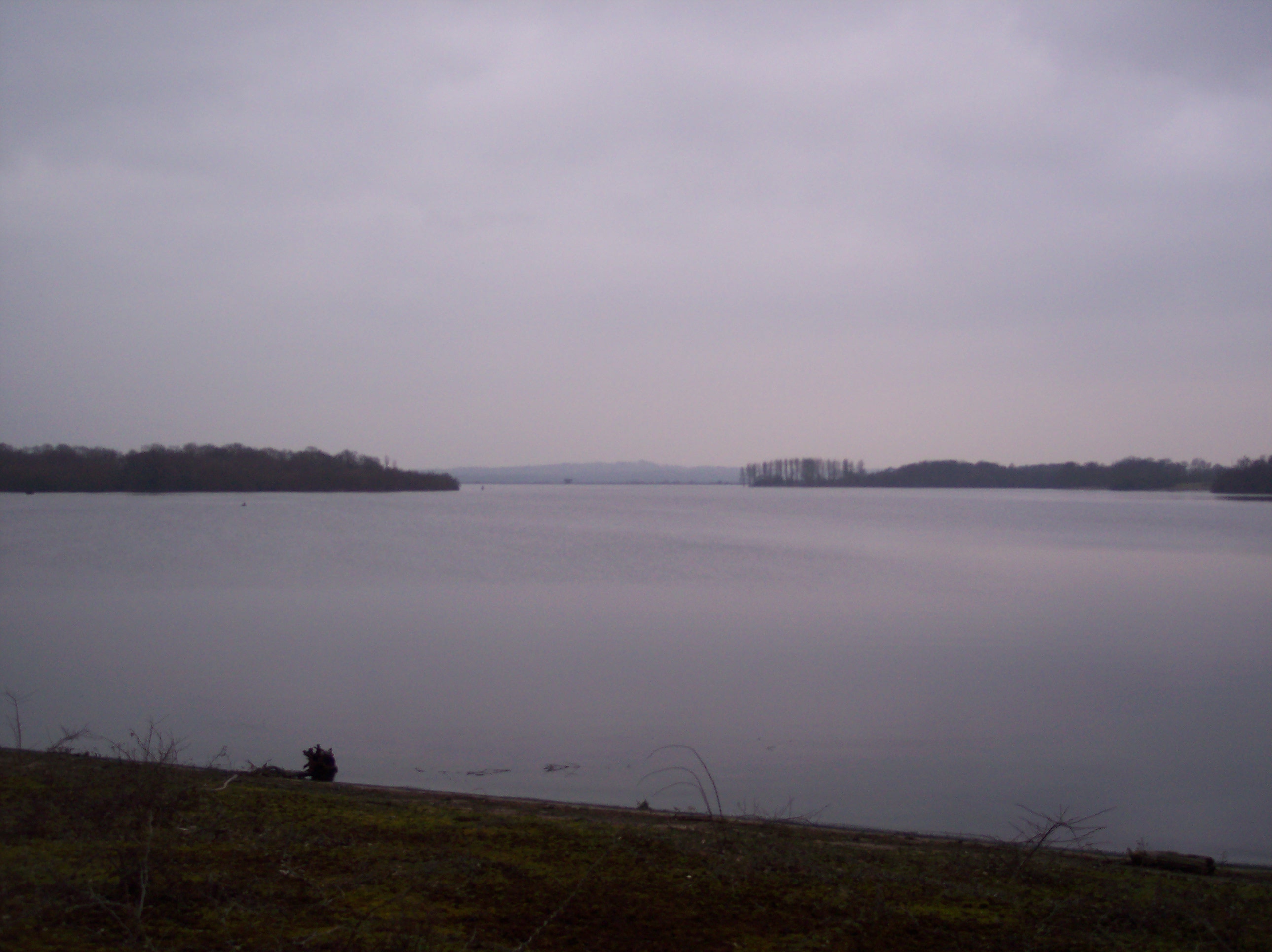
Bough Beech Reservoir
Bough Beech Reservoir is a 42-hectare (100-acre) nature reserve in Bough Beech, south-west of Sevenoaks in Kent. It was managed by the Kent Wildlife Trust...
Nearby Amenities
Located within 500m of 51.236549,0.11045237Have you been to Tanhouse Wood?
Leave your review of Tanhouse Wood below (or comments, questions and feedback).