Dernford Fen

Wood, Forest in Cambridgeshire South Cambridgeshire

England

Dernford Fen

Mill Lane, Sawston One of two pre-Worboys road signs that can be found either side of the local school. This sign is across the road from the local fire station.
Mill Lane, Sawston Credit: Richard Haughey

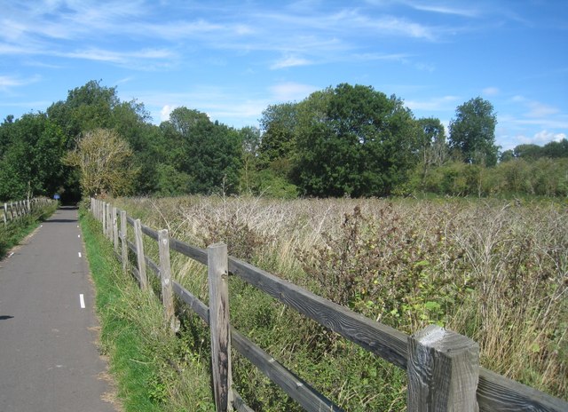
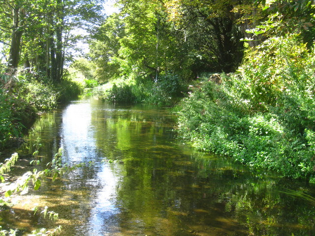
Dernford Fen is a unique woodland area situated in Cambridgeshire, England. Covering an approximate area of 500 acres, it is known for its picturesque landscapes, diverse flora and fauna, and its significant ecological importance.

Located near the village of Great Shelford, Dernford Fen is primarily composed of ancient fen woodland. It is characterized by its dense canopy of tall trees, including oak, ash, and birch, which provide a thriving habitat for a wide variety of plant and animal species. The forest floor is adorned with a carpet of wildflowers, such as bluebells and yellow archangel, adding to the area's natural beauty.

The fen is home to several notable wildlife species, including rare birds like the nightingale, woodpeckers, and various species of owls. It also supports a diverse range of mammals, including deer, foxes, and badgers. Nature enthusiasts and birdwatchers frequent the area to observe and study the unique and protected species that reside within the fen.

In addition to its ecological significance, Dernford Fen also holds historical importance. It has been an area of human settlement for centuries, with evidence of human activity dating back to the Bronze Age. The fen has also been used for agriculture and charcoal production in the past.

Dernford Fen offers visitors a tranquil and serene environment to enjoy nature walks, wildlife spotting, and photography. It is managed and protected by local conservation organizations and is open to the public, allowing people to explore and appreciate the natural wonders that this woodland treasure has to offer.

If you have any feedback on the listing, please let us know in the comments section below.
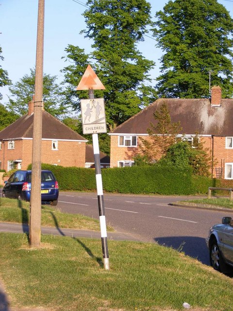
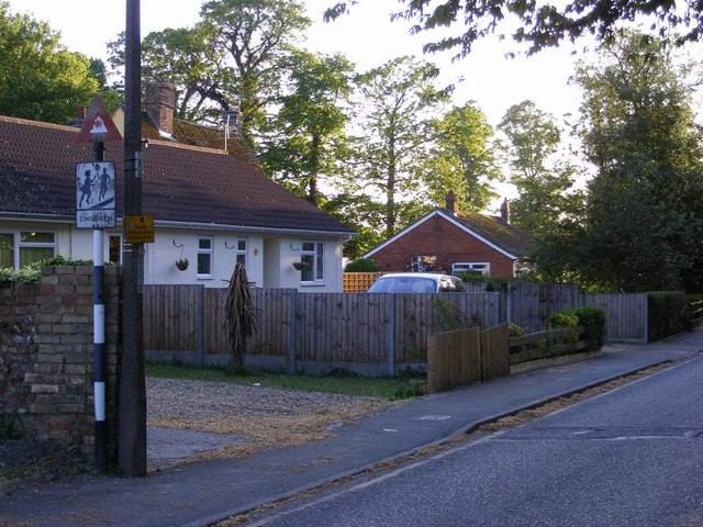
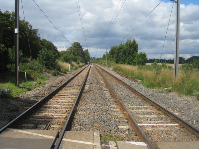
Dernford Fen Images

Images are sourced within 2km of 52.131896/0.15072719 or Grid Reference TL4750. Thanks to Geograph Open Source API. All images are credited.

Mill Lane, Sawston One of two pre-Worboys road signs that can be found either side of the local school. This sign is across the road from the local fire station.
Mill Lane, Sawston
One of two pre-Worboys road signs that can be found either side of the local school. This sign is across the road from the local fire station.
Mill Lane, Sawston Historic pre-Worboys school road sign as seen from entering from the High Street
Mill Lane, Sawston
Historic pre-Worboys school road sign as seen from entering from the High Street
This way to London Liverpool Street View from the Spicers crossing at Whittlesford.
This way to London Liverpool Street
View from the Spicers crossing at Whittlesford.
Whittlesford to Sawston National Cycle Network, Route 11 just after leaving the churchyard of St. Mary & St. Andrew.
Whittlesford to Sawston
National Cycle Network, Route 11 just after leaving the churchyard of St. Mary & St. Andrew.
River Cam near Mill Farm
Aircraftman 1st Cl. S.C. Dwyer
Flight Sergeant O.C. Tostevin
Flight Sergeant  M.B. Innes See <span class="nowrap"><a title="http://www.cwgc.org/search/casualty_details.aspx?casualty=2651937" rel="nofollow ugc noopener" href="http://www.cwgc.org/search/casualty_details.aspx?casualty=2651937">Link</a><img style="margin-left:2px;" alt="External link" title="External link - shift click to open in new window" src="https://s1.geograph.org.uk/img/external.png" width="10" height="10"/></span> for further details.
Flight Sergeant M.B. Innes
See LinkExternal link for further details.
Pilot Officer D.G.D. Maynard See <span class="nowrap"><a title="http://www.cwgc.org/search/casualty_details.aspx?casualty=2651943" rel="nofollow ugc noopener" href="http://www.cwgc.org/search/casualty_details.aspx?casualty=2651943">Link</a><img style="margin-left:2px;" alt="External link" title="External link - shift click to open in new window" src="https://s1.geograph.org.uk/img/external.png" width="10" height="10"/></span> for further details.
Pilot Officer D.G.D. Maynard
See LinkExternal link for further details.
Pilot Officer D.G.B. Paton See <span class="nowrap"><a title="http://www.cwgc.org/search/casualty_details.aspx?casualty=2651945" rel="nofollow ugc noopener" href="http://www.cwgc.org/search/casualty_details.aspx?casualty=2651945">Link</a><img style="margin-left:2px;" alt="External link" title="External link - shift click to open in new window" src="https://s1.geograph.org.uk/img/external.png" width="10" height="10"/></span> for further details.
Pilot Officer D.G.B. Paton
See LinkExternal link for further details.
Flight Sergeant  P.A. Gibbs See <span class="nowrap"><a title="http://www.cwgc.org/search/casualty_details.aspx?casualty=2651933" rel="nofollow ugc noopener" href="http://www.cwgc.org/search/casualty_details.aspx?casualty=2651933">Link</a><img style="margin-left:2px;" alt="External link" title="External link - shift click to open in new window" src="https://s1.geograph.org.uk/img/external.png" width="10" height="10"/></span> for further details.
Flight Sergeant P.A. Gibbs
See LinkExternal link for further details.
Leading Aircraftman W.T. Stroud
Sergeant D. Wilcox See <span class="nowrap"><a title="http://www.cwgc.org/search/casualty_details.aspx?casualty=2651954" rel="nofollow ugc noopener" href="http://www.cwgc.org/search/casualty_details.aspx?casualty=2651954">Link</a><img style="margin-left:2px;" alt="External link" title="External link - shift click to open in new window" src="https://s1.geograph.org.uk/img/external.png" width="10" height="10"/></span> for further details.
Sergeant D. Wilcox
See LinkExternal link for further details.
Samuel Jadud Volunteer Czech Army.
Samuel Jadud
Volunteer Czech Army.
Porucznik M.J. Skalski The equivalent rank for Porucznik is Lieutenant. The initials A.F.D.U. stand for The Air Fighting Development Unit. This was an air technical intelligence part of the Royal Air Force which developed operational tactics and tested captured enemy aircraft. It was based at Royal Air Force Stations at Northolt, Duxford and Wittering.
Porucznik M.J. Skalski
The equivalent rank for Porucznik is Lieutenant. The initials A.F.D.U. stand for The Air Fighting Development Unit. This was an air technical intelligence part of the Royal Air Force which developed operational tactics and tested captured enemy aircraft. It was based at Royal Air Force Stations at Northolt, Duxford and Wittering.
Flying Officer H.V. Kerckhove
Leading Aircraftman Jaroslav Zavadil See <span class="nowrap"><a title="http://www.cwgc.org/search/casualty_details.aspx?casualty=2651955" rel="nofollow ugc noopener" href="http://www.cwgc.org/search/casualty_details.aspx?casualty=2651955">Link</a><img style="margin-left:2px;" alt="External link" title="External link - shift click to open in new window" src="https://s1.geograph.org.uk/img/external.png" width="10" height="10"/></span> for further details.
Leading Aircraftman Jaroslav Zavadil
See LinkExternal link for further details.
Flight Lieutenant  S.A.P. Fischer See <span class="nowrap"><a title="http://www.cwgc.org/search/casualty_details.aspx?casualty=2651932" rel="nofollow ugc noopener" href="http://www.cwgc.org/search/casualty_details.aspx?casualty=2651932">Link</a><img style="margin-left:2px;" alt="External link" title="External link - shift click to open in new window" src="https://s1.geograph.org.uk/img/external.png" width="10" height="10"/></span> for further details.
Flight Lieutenant S.A.P. Fischer
See LinkExternal link for further details.
Show me another place!

Dernford Fen is located at Grid Ref: TL4750 (Lat: 52.131896, Lng: 0.15072719)

Administrative County: Cambridgeshire

District: South Cambridgeshire

Police Authority: Cambridgeshire

What 3 Words

///technical.scarf.extent. Near Sawston, Cambridgeshire

Nearby Locations

Dernford Fen

Related Wikis

Dernford Fen

Dernford Fen is a 10.3-hectare (25-acre) biological Site of Special Scientific Interest north-west of Sawston in Cambridgeshire.The site is a rare surviving...

Bottisham Village College

Bottisham Village College is a mixed secondary school located in Bottisham, Cambridgeshire, England. The school opened in 1937 as the second village college...

Borough Hill, Sawston

Borough Hill is a large multivallate hillfort near Sawston, Cambridgeshire, England. == Description == Borough Hill is an oval-shaped area measuring 430...

Sawston Village College

Sawston Village College is an academy school in Sawston, Cambridgeshire, England. It was previously the first community college in the country and the...

Stapleford, Cambridgeshire

Stapleford is a village located approximately 4 miles to the south of Cambridge, in the county of Cambridgeshire, in eastern England on the right-hand...

Spicer's Sports Ground

Spicers Sports Ground is a cricket ground in Sawston, Cambridgeshire. The first recorded match on the ground was in 1950, when Cambridgeshire played Huntingdonshire...

ACE Cultural Tours

ACE Cultural Tours is an operator of educational and cultural travel tours. Specialising in small group tours with expert leaders such as Humphrey Burton...

South Cambridgeshire (UK Parliament constituency)

South Cambridgeshire is a constituency represented in the House of Commons of the UK Parliament since 2019 by Anthony Browne, a Conservative. == Constituency... ==

Nearby Amenities

Located within 500m of 52.131896,0.15072719
Crossing
Bicycle: yes
Button Operated: yes
Crossing: marked
Crossing Island: yes
Crossing Markings: no
Crossing Ref: puffin
Tactile Paving: yes
Traffic Signals Sound: no
Traffic Signals Vibration: yes
Lat/Long: 52.1354237/0.1534767
Crossing: uncontrolled
Crossing Island: no
Lat/Long: 52.1352813/0.1546584
Traffic Signals
Lat/Long: 52.1352093/0.1536251
Power: pole
Lat/Long: 52.1299648/0.1475917
Power: pole
Lat/Long: 52.1308869/0.1466365
Power: pole
Lat/Long: 52.1318879/0.1455744
Power: pole
Lat/Long: 52.1326354/0.1447965
Power: pole
Lat/Long: 52.136032/0.1528093
Parking
Source: survey
Lat/Long: 52.1306894/0.1547888
Parking
Source: survey
Lat/Long: 52.1291108/0.1545408
Crossing: uncontrolled
Crossing Island: no
Lat/Long: 52.1353225/0.1547777
Crossing
Button Operated: yes
Crossing: traffic_signals
Crossing Island: no
Crossing Markings: no
Tactile Paving: yes
Traffic Signals Sound: yes
Lat/Long: 52.1352493/0.1538725
The data included in this document is from www.openstreetmap.org. The data is made available under ODbL.

Have you been to Dernford Fen?

Leave your review of Dernford Fen below (or comments, questions and feedback).