Brockwell's Wood

Wood, Forest in Sussex Wealden

England

Brockwell's Wood

Fishing In Plashett Park
Fishing Credit: Peter Jeffery

Brockwell's Wood, located in Sussex, is a charming and picturesque woodland area that spans across a vast expanse of land. Situated amidst the rolling hills and verdant landscapes, this wood offers visitors a tranquil escape from the bustling city life.

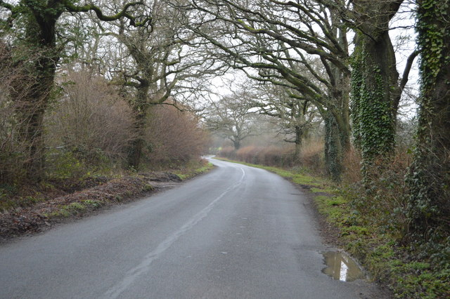
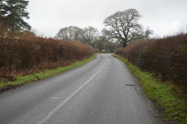
The wood is characterized by its dense canopy of ancient oak and beech trees, which provide a cool respite during the hot summer months and a stunning display of vibrant colors in the autumn. The ground is covered with a lush carpet of ferns, wildflowers, and moss, creating a magical and enchanting atmosphere.

Brockwell's Wood is home to a diverse range of flora and fauna. Visitors may spot various species of birds, such as woodpeckers, owls, and thrushes, which inhabit the trees. Squirrels scurry through the branches, while rabbits and deer can be seen grazing on the forest floor. It is also not uncommon to encounter smaller creatures like hedgehogs and foxes.

The wood offers several well-maintained walking trails, allowing visitors to explore its beauty at their own pace. These paths wind through the ancient trees, offering stunning views of the surrounding countryside. The wood is also a popular destination for nature enthusiasts, photographers, and artists, who are drawn to its serene and picturesque setting.

Brockwell's Wood, with its rich biodiversity and natural beauty, serves as an important habitat for wildlife and a haven for those seeking solace in nature. It is a must-visit destination for anyone looking to immerse themselves in the tranquility of the Sussex countryside.

If you have any feedback on the listing, please let us know in the comments section below.

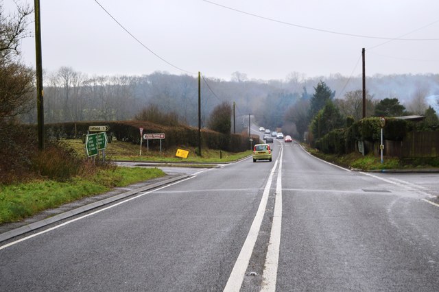
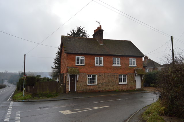
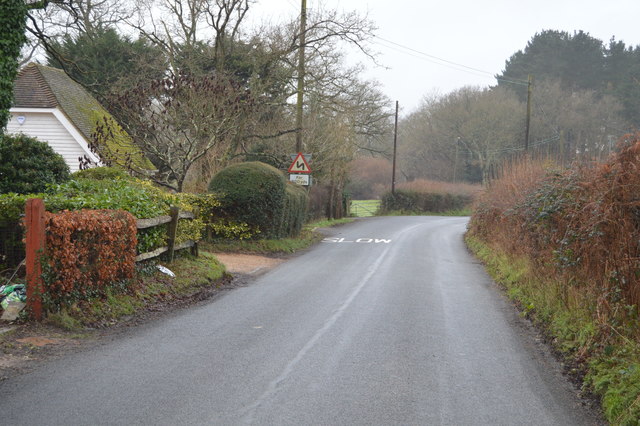
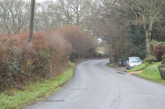
Brockwell's Wood Images

Images are sourced within 2km of 50.927686/0.094634274 or Grid Reference TQ4716. Thanks to Geograph Open Source API. All images are credited.

Fishing In Plashett Park
Fishing
In Plashett Park
Church of St michael & All Angels Most of the church dates from a rebuild in 1863, however some wall arches of the north wall of the chancel are 12th Century, containing 2 small round-headed windows. 
The tall tower is 15th C. and the turret was raised and given a conical top in 1863, when Sir George Gilbert Scott oversaw the rebuilding with 14th C details.
There is an interesting tomb slab of about 1500 in a recess in the chancel, said to be a member of the Delves family, Yeomen in the parish. However it has also been claimed to belong to William Dean, Knight. Currently it is blocked by pews and furniture.
Church of St michael & All Angels
Most of the church dates from a rebuild in 1863, however some wall arches of the north wall of the chancel are 12th Century, containing 2 small round-headed windows. The tall tower is 15th C. and the turret was raised and given a conical top in 1863, when Sir George Gilbert Scott oversaw the rebuilding with 14th C details. There is an interesting tomb slab of about 1500 in a recess in the chancel, said to be a member of the Delves family, Yeomen in the parish. However it has also been claimed to belong to William Dean, Knight. Currently it is blocked by pews and furniture.
A26, southbound The A26 is a 50 mile route from Maidstone to Newhaven via Tunbridge Wells. <span class="nowrap"><a title="http://www.sabre-roads.org.uk/wiki/index.php?title=A26" rel="nofollow ugc noopener" href="http://www.sabre-roads.org.uk/wiki/index.php?title=A26">Link</a><img style="margin-left:2px;" alt="External link" title="External link - shift click to open in new window" src="https://s1.geograph.org.uk/img/external.png" width="10" height="10"/></span>
A26, southbound
The A26 is a 50 mile route from Maidstone to Newhaven via Tunbridge Wells. LinkExternal link
A26, northbound The A26 is a 50 mile route from Maidstone to Newhaven via Tunbridge Wells. <span class="nowrap"><a title="http://www.sabre-roads.org.uk/wiki/index.php?title=A26" rel="nofollow ugc noopener" href="http://www.sabre-roads.org.uk/wiki/index.php?title=A26">Link</a><img style="margin-left:2px;" alt="External link" title="External link - shift click to open in new window" src="https://s1.geograph.org.uk/img/external.png" width="10" height="10"/></span>
A26, northbound
The A26 is a 50 mile route from Maidstone to Newhaven via Tunbridge Wells. LinkExternal link
Corner of Horsted Lane
Horsted Lane
Horsted Lane
Horsted Lane Isfield lies just off the main A26 Uckfield to Lewes main road, and is well hidden in the Ouse valley. The Romans established a staging post in the village, near a ford across the Ouse, this was on a section of Ermine Street which ran from Newhaven to London, passing through Lewes and Isfield and Maresfield. The village was recorded as Sifelle in the Domesday book.
More info at <span class="nowrap"><a title="http://www.villagenet.co.uk/ashdownforest/villages/isfield.php" rel="nofollow ugc noopener" href="http://www.villagenet.co.uk/ashdownforest/villages/isfield.php">Link</a><img style="margin-left:2px;" alt="External link" title="External link - shift click to open in new window" src="https://s1.geograph.org.uk/img/external.png" width="10" height="10"/></span>
Horsted Lane
Isfield lies just off the main A26 Uckfield to Lewes main road, and is well hidden in the Ouse valley. The Romans established a staging post in the village, near a ford across the Ouse, this was on a section of Ermine Street which ran from Newhaven to London, passing through Lewes and Isfield and Maresfield. The village was recorded as Sifelle in the Domesday book. More info at LinkExternal link
Horsted Lane
Horsted Lane
Field by Horsted Lane
Horsted Lane
Horsted Lane
Entering Isfield, Horsted Lane Isfield lies just off the main A26 Uckfield to Lewes main road, and is well hidden in the Ouse valley. The Romans established a staging post in the village, near a ford across the Ouse, this was on a section of Ermine Street which ran from Newhaven to London, passing through Lewes and Isfield and Maresfield. The village was recorded as Sifelle in the Domesday book.
More info at <span class="nowrap"><a title="http://www.villagenet.co.uk/ashdownforest/villages/isfield.php" rel="nofollow ugc noopener" href="http://www.villagenet.co.uk/ashdownforest/villages/isfield.php">Link</a><img style="margin-left:2px;" alt="External link" title="External link - shift click to open in new window" src="https://s1.geograph.org.uk/img/external.png" width="10" height="10"/></span>
Entering Isfield, Horsted Lane
Isfield lies just off the main A26 Uckfield to Lewes main road, and is well hidden in the Ouse valley. The Romans established a staging post in the village, near a ford across the Ouse, this was on a section of Ermine Street which ran from Newhaven to London, passing through Lewes and Isfield and Maresfield. The village was recorded as Sifelle in the Domesday book. More info at LinkExternal link
Barn north of Horsted Lane
East Sussex National The Club House at East Sussex National.
East Sussex National
The Club House at East Sussex National.
East Sussex National The golf course at the East Sussex National.
East Sussex National
The golf course at the East Sussex National.
St Michael & All Angels, Little Horsted (front)
St Michael & All Angels, Little Horsted: seat
St Michael & All Angels, Little Horsted (rear)
St Michael & All Angels, Little Horsted: churchyard
Show me another place!

Brockwell's Wood is located at Grid Ref: TQ4716 (Lat: 50.927686, Lng: 0.094634274)

Administrative County: East Sussex

District: Wealden

Police Authority: Sussex

What 3 Words

///unusable.apply.flips. Near Uckfield, East Sussex

Related Wikis

Bentley Wildfowl and Motor Museum

The Bentley Wildfowl and Motor Museum was a visitor attraction near Halland, East Sussex, England. As of October 2018, it is closed to the public. ��2...

Plashett Park Wood

Plashett Park Wood is a 157.6-hectare (389-acre) biological Site of Special Scientific Interest between Lewes and Uckfield in East Sussex.This ancient...

East Sussex National Golf Club

East Sussex National Golf Club is a golf course located near to Uckfield in East Sussex. It is considered one of the finer golf courses in the British...

Horsted Place

Horsted Place is a Tudor Revival country house, now a hotel, in Little Horsted, East Sussex, England. The current building dates to 1850, when it was built...

Lavender Line

The Lavender Line is a heritage railway based at Isfield Station, near Uckfield in East Sussex, England. == History == The Lavender Line was originally...

Isfield railway station

Isfield is a preserved railway station on the closed section of the Wealden Line which served the East Sussex village of Isfield near Uckfield. Originally...
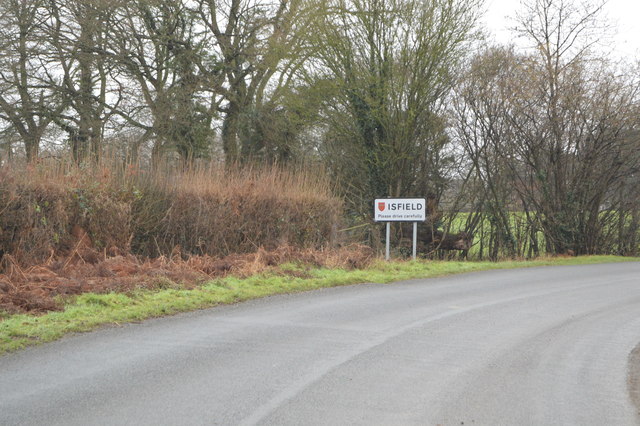
Isfield

Isfield is a small village and civil parish in the Wealden District of East Sussex in England, located north-east of Lewes. == History == The village of...
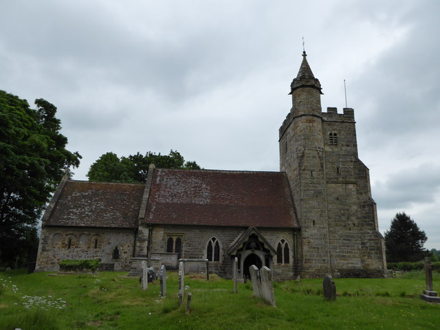
Little Horsted

Little Horsted (also known as Horsted Parva) is a village and civil parish in the Wealden district of East Sussex, England. It is located two miles (3...

Nearby Amenities

Located within 500m of 50.927686,0.094634274
Material: wood
Power: pole
Source: bing
Lat/Long: 50.9232733/0.0937806
Material: wood
Power: pole
Source: bing
Lat/Long: 50.9237177/0.0945187
Material: wood
Power: pole
Source: bing
Lat/Long: 50.9244921/0.0957883
Material: wood
Power: pole
Source: bing
Lat/Long: 50.9252705/0.0970327
Material: wood
Power: pole
Source: bing
Lat/Long: 50.9261026/0.0974301
Material: wood
Power: pole
Source: bing
Lat/Long: 50.9270927/0.097908
Material: wood
Power: pole
Source: bing
Lat/Long: 50.9280878/0.0983779
Material: wood
Power: pole
Source: bing
Lat/Long: 50.9291116/0.0988479
Material: wood
Power: pole
Source: bing
Lat/Long: 50.9295768/0.0982297
Material: wood
Power: pole
Source: bing
Lat/Long: 50.9300917/0.0993021
Material: wood
Power: pole
Source: bing
Lat/Long: 50.930384/0.0975736
Material: wood
Power: pole
Source: bing
Lat/Long: 50.9309714/0.0971226
Material: wood
Power: pole
Source: bing
Lat/Long: 50.9309744/0.098646
Material: wood
Power: pole
Source: bing
Lat/Long: 50.9315767/0.0961511
Material: wood
Power: pole
Source: bing
Lat/Long: 50.9320618/0.0950266
The data included in this document is from www.openstreetmap.org. The data is made available under ODbL.

Have you been to Brockwell's Wood?

Leave your review of Brockwell's Wood below (or comments, questions and feedback).