Long Plantation

Wood, Forest in Cambridgeshire South Cambridgeshire

England

Long Plantation

Harvesting near Chrishall Grange
Harvesting near Chrishall Grange Credit: Richard Vince

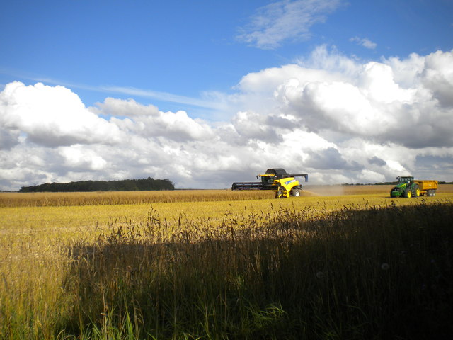
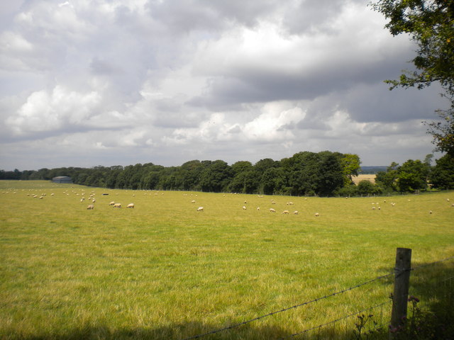
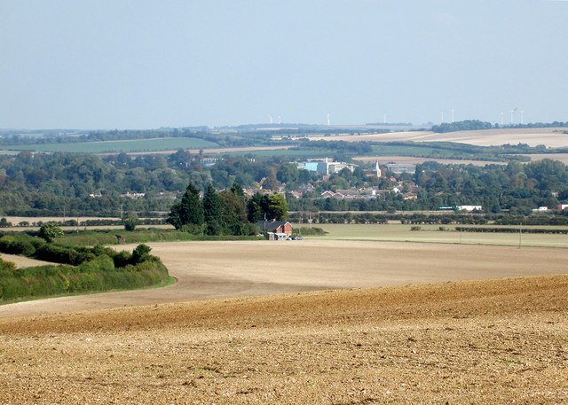
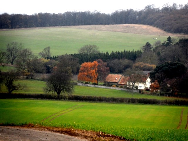
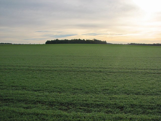
Long Plantation is a picturesque woodland located in Cambridgeshire, England. Covering an area of approximately 100 acres, it is known for its dense forest and diverse range of plant and animal species.

The plantation is characterized by its tall, mature trees, predominantly consisting of native species such as oak, beech, and birch. These trees create a dense canopy that provides shade and shelter for a variety of wildlife, making it a haven for nature enthusiasts and birdwatchers.

The forest floor is covered with a rich carpet of ferns, mosses, and wildflowers, adding to the enchanting atmosphere of the woodland. This vibrant undergrowth is home to numerous species of insects, small mammals, and reptiles.

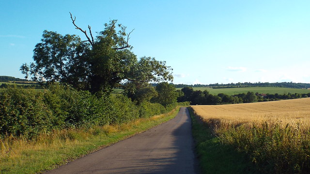
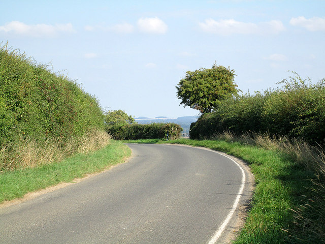
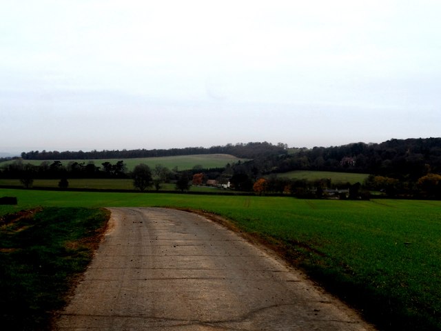
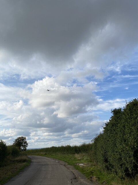
Long Plantation is crisscrossed with meandering footpaths, allowing visitors to explore the woodland at their leisure. These paths offer stunning views of the surrounding countryside and provide opportunities for peaceful walks and picnics.

The plantation is also home to a small lake, which attracts a wide range of water birds and provides a tranquil spot for visitors to relax and enjoy the natural surroundings.

With its well-preserved and diverse ecosystem, Long Plantation offers a unique opportunity to experience the beauty of a traditional English woodland. It is a popular destination for nature lovers, walkers, and those seeking a peaceful retreat away from the hustle and bustle of everyday life.

If you have any feedback on the listing, please let us know in the comments section below.

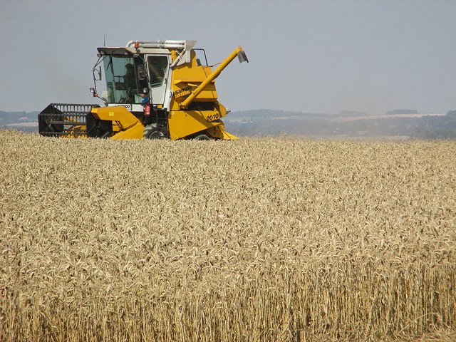
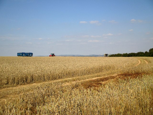
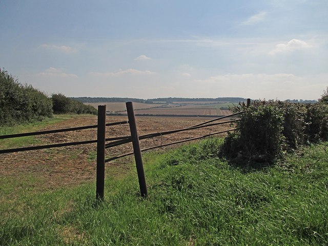
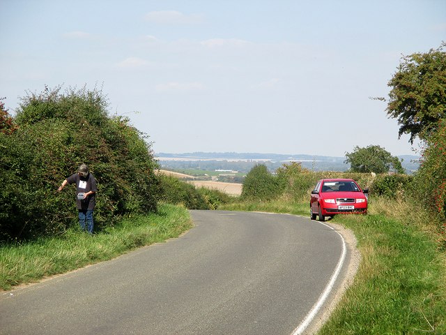
Long Plantation Images

Images are sourced within 2km of 52.058342/0.13186032 or Grid Reference TL4642. Thanks to Geograph Open Source API. All images are credited.

Harvesting near Chrishall Grange
Field near Chrishall Grange Sheep safely grazing in a field between Chrishall Grange and the plantation which bears its name. The trees in the distance line the track that gives access to the plantation.
Field near Chrishall Grange
Sheep safely grazing in a field between Chrishall Grange and the plantation which bears its name. The trees in the distance line the track that gives access to the plantation.
Country lane near Elmdon, Essex A country lane in north Essex.  In the opposite direction, the road crosses the county boundary into Cambridgeshire within a few hundred metres.

Long shadows show that this image was taken during the evening.
Country lane near Elmdon, Essex
A country lane in north Essex. In the opposite direction, the road crosses the county boundary into Cambridgeshire within a few hundred metres. Long shadows show that this image was taken during the evening.
A bend at the crest of the hill At the top of the hill half-way between Elmdon and Ickleton, just on the Cambridgeshire side of the county boundary.
A bend at the crest of the hill
At the top of the hill half-way between Elmdon and Ickleton, just on the Cambridgeshire side of the county boundary.
A view towards Ickleton This is another Cambridgeshire view which changed when Wadlow Wind Farm (on the skyline to the right of centre) was built in 2012. The road from Elmdon to Ickleton snakes between high hedges in the middle distance on the left, passing Valance Farm Cottages. By way of comparison, see two pictures taken in September 2010: <a href="https://www.geograph.org.uk/photo/2067226">TL4741 : Looking into Cambridgeshire</a> and <a href="https://www.geograph.org.uk/photo/2077081">TL4943 : Ickleton and the M11 from afar</a>.
A view towards Ickleton
This is another Cambridgeshire view which changed when Wadlow Wind Farm (on the skyline to the right of centre) was built in 2012. The road from Elmdon to Ickleton snakes between high hedges in the middle distance on the left, passing Valance Farm Cottages. By way of comparison, see two pictures taken in September 2010: TL4741 : Looking into Cambridgeshire and TL4943 : Ickleton and the M11 from afar.
Junction near Lodge Farm
Minor road and farmland near Ickleton Granges
Ickleton Old Granges
Cottages, Chrishall Grange
Combining on the edge of Cambridgeshire I stood in a gateway on the boundary of Cambridgeshire and Essex (behind the camera) for this foreshortened zoom view of a Finnish Sampo Rosenlew 2010 harvester at work. The Gog Magog Hills south-east of Cambridge are on the skyline, about eight miles away.
Combining on the edge of Cambridgeshire
I stood in a gateway on the boundary of Cambridgeshire and Essex (behind the camera) for this foreshortened zoom view of a Finnish Sampo Rosenlew 2010 harvester at work. The Gog Magog Hills south-east of Cambridge are on the skyline, about eight miles away.
Harvest time on the edge of Cambridgeshire I stood in a gateway on the boundary of Cambridgeshire and Essex (behind the camera) for this shot of a hilltop wheatfield mid-way between Ickleton (Cambridgeshire) and Elmdon (Essex). For a close-up of the harvester, see <a href="https://www.geograph.org.uk/photo/4156342">TL4741 : Combining on the edge of Cambridgeshire</a>.
Harvest time on the edge of Cambridgeshire
I stood in a gateway on the boundary of Cambridgeshire and Essex (behind the camera) for this shot of a hilltop wheatfield mid-way between Ickleton (Cambridgeshire) and Elmdon (Essex). For a close-up of the harvester, see TL4741 : Combining on the edge of Cambridgeshire.
South into Essex On a sunny September afternoon I stood by a field gate on the Cambridgeshire-Essex border (and on the 100m/328ft contour line) for this view across the valley towards the hills between Strethall and Elmdon.
South into Essex
On a sunny September afternoon I stood by a field gate on the Cambridgeshire-Essex border (and on the 100m/328ft contour line) for this view across the valley towards the hills between Strethall and Elmdon.
Blackberrying with a view over South Cambridgeshire Near the summit of the road from Elmdon to Ickleton (ahead). The county boundary between Cambridgeshire and Essex is not far behind the camera. Ahead is a view across the valley of the eastern branch of the River Cam, with the Gog Magog Hills near Cambridge on the skyline.
Blackberrying with a view over South Cambridgeshire
Near the summit of the road from Elmdon to Ickleton (ahead). The county boundary between Cambridgeshire and Essex is not far behind the camera. Ahead is a view across the valley of the eastern branch of the River Cam, with the Gog Magog Hills near Cambridge on the skyline.
Towards Round Plantation The chalk hills on the Cambridgeshire-Essex border. The sun had not completely broken through high cloud on a November morning. Richard Thomas took a similar picture in brighter September 2006 - see <a href="https://www.geograph.org.uk/photo/248771">TL4543 : Round Plantation</a>.
Towards Round Plantation
The chalk hills on the Cambridgeshire-Essex border. The sun had not completely broken through high cloud on a November morning. Richard Thomas took a similar picture in brighter September 2006 - see TL4543 : Round Plantation.
A Cambridgeshire view Looking through a farm gate on the Ickleton-Elmdon road across the valley of the River Granta towards the hills beyond Stump Cross and Great Chesterford. The sun occasionally broke through the clouds on this mid-September morning.
A Cambridgeshire view
Looking through a farm gate on the Ickleton-Elmdon road across the valley of the River Granta towards the hills beyond Stump Cross and Great Chesterford. The sun occasionally broke through the clouds on this mid-September morning.
Foraging on the edge of Cambridgeshire Blackberrying here is an annual treat: the hedgerows which line the 100m summit of the road from Elmdon to Ickleton (ahead) are prolific. <a href="https://www.geograph.org.uk/photo/4156377">TL4741 : Blackberrying with a view over South Cambridgeshire</a> is a similar picture (with a different Skoda), taken in 2014.
Foraging on the edge of Cambridgeshire
Blackberrying here is an annual treat: the hedgerows which line the 100m summit of the road from Elmdon to Ickleton (ahead) are prolific. TL4741 : Blackberrying with a view over South Cambridgeshire is a similar picture (with a different Skoda), taken in 2014.
Road near Chrishall Grange
View from Rectory Farm Trig Point
Show me another place!

Long Plantation is located at Grid Ref: TL4642 (Lat: 52.058342, Lng: 0.13186032)

Administrative County: Cambridgeshire

District: South Cambridgeshire

Police Authority: Cambridgeshire

What 3 Words

///prickly.amicably.sheds. Near Duxford, Cambridgeshire

Related Wikis

Elmdon

See also, Elmdon, West Midlands.Elmdon is a village in the civil parish of Elmdon, Duddenhoe End & Wenden Lofts situated in the Uttlesford district of...

Ickleton Priory

Ickleton Priory was a Benedictine priory of nuns at Ickleton, Cambridgeshire, England. It was established in the middle of the 12th century and suppressed...

Chrishall

Chrishall (pronounced Chris hall) is a small village in the English county of Essex. It is located 12 miles (20 km) south of Cambridge and lies equidistant...

Ickleton

Ickleton is a village and civil parish about 9 miles (14 km) south of Cambridge in Cambridgeshire, England. The village is beside the River Cam, close...

Strethall

Strethall is a village and a civil parish in the Uttlesford District, in the English county of Essex, near the town of Saffron Walden. Having suffered...

Duxford Aerodrome

Duxford Aerodrome (ICAO: EGSU) is located 8 nautical miles (15 km; 9.2 mi) south of Cambridge, within the civil parish of Duxford, Cambridgeshire, England...

St Mary Magdalene Church, Ickleton

St Mary Magdalene Church is the Church of England parish church in the village of Ickleton in Cambridgeshire. The church is a Grade I listed building....

Heydon, Cambridgeshire

Heydon is a village and civil parish in Cambridgeshire, England. The parish of Heydon was transferred from Essex to Cambridgeshire in 1894. The area of...

Nearby Amenities

Located within 500m of 52.058342,0.13186032
Power: pole
Lat/Long: 52.0588502/0.1259483
Power: pole
Lat/Long: 52.0574797/0.131306
Power: pole
Lat/Long: 52.0585056/0.1271715
Power: pole
Lat/Long: 52.0591932/0.1247145
Power: pole
Lat/Long: 52.0581311/0.1283651
Power: pole
Lat/Long: 52.0577131/0.1301407
The data included in this document is from www.openstreetmap.org. The data is made available under ODbL.

Have you been to Long Plantation?

Leave your review of Long Plantation below (or comments, questions and feedback).