Laburnum Plantation

Wood, Forest in Cambridgeshire South Cambridgeshire

England

Laburnum Plantation

Harvesting near Chrishall Grange
Harvesting near Chrishall Grange Credit: Richard Vince

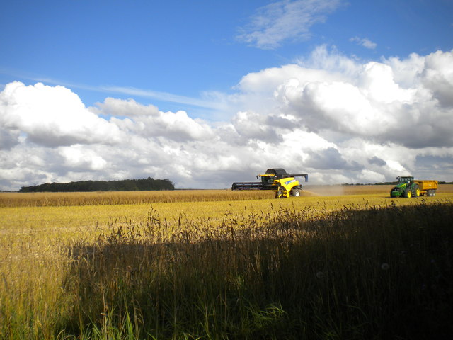
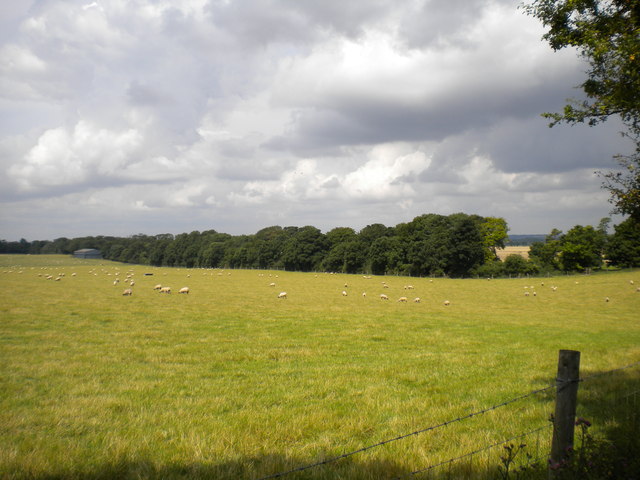
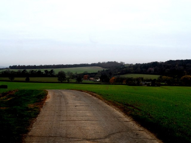
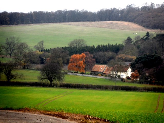
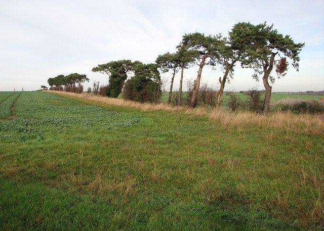
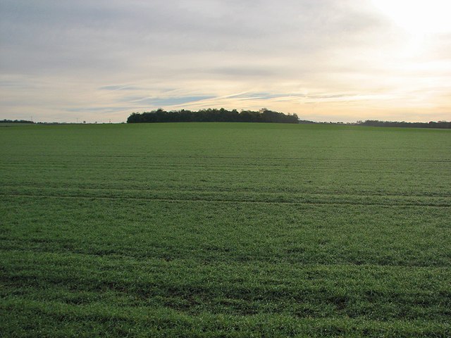
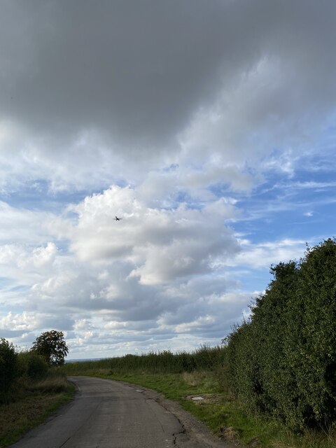
Laburnum Plantation, located in Cambridgeshire, is a beautiful woodland area known for its dense forest and stunning natural beauty. Spanning over a vast area, the plantation is a popular destination for nature enthusiasts and hikers alike.

The plantation is primarily composed of Laburnum trees, which give it its name. These trees are known for their vibrant yellow flowers, which bloom during the spring season, adding a burst of color to the landscape. The Laburnum trees create a dense canopy, providing shade and shelter for a variety of flora and fauna.

The woodland is home to a diverse range of plant species, including ferns, wildflowers, and mosses, creating a rich undergrowth. This provides a habitat for numerous animals, such as birds, squirrels, and rabbits. The plantation is also home to several rare and endangered species, including the elusive red squirrel.

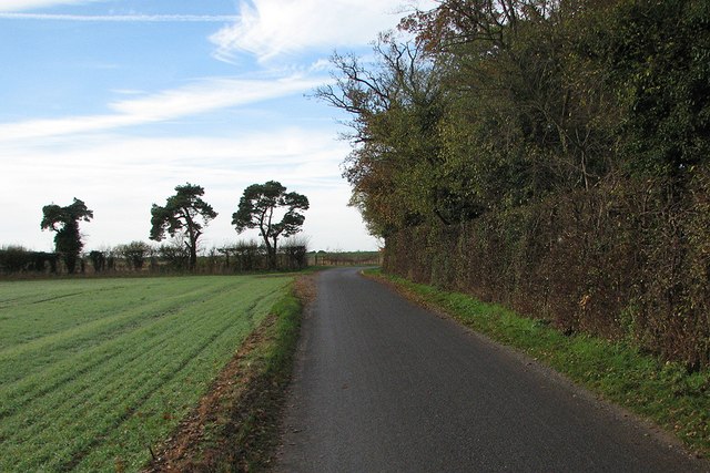
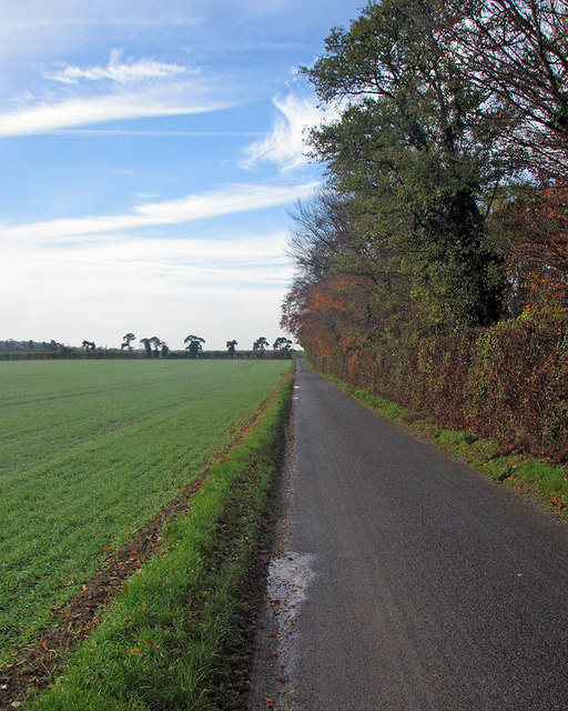
Laburnum Plantation offers a network of well-maintained walking trails, allowing visitors to explore the forest and enjoy its tranquility. These trails vary in difficulty, catering to both casual walkers and more experienced hikers. The plantation also has designated picnic areas and viewpoints, providing visitors with the opportunity to take in the stunning views and enjoy a picnic amidst nature.

With its picturesque scenery and abundant wildlife, Laburnum Plantation is a must-visit destination for nature lovers and those seeking a peaceful retreat. The plantation offers a unique opportunity to immerse oneself in the beauty of Cambridgeshire's woodlands and experience the wonders of the natural world.

If you have any feedback on the listing, please let us know in the comments section below.

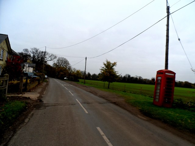
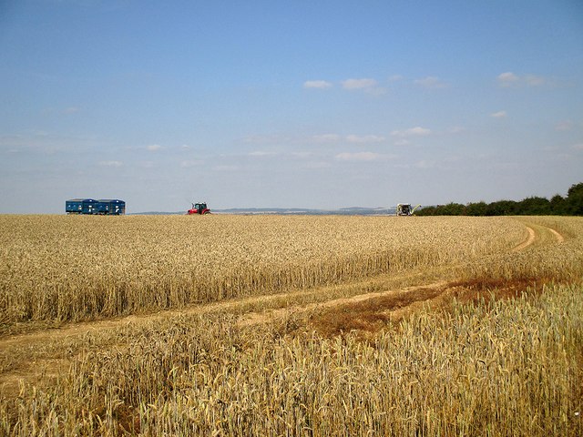
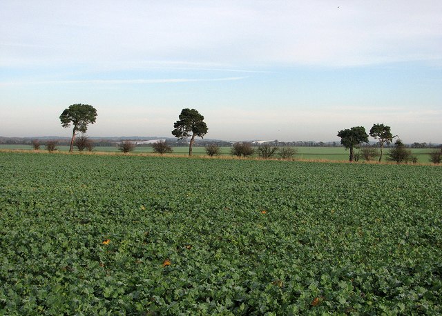
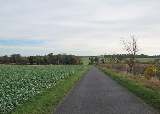
Laburnum Plantation Images

Images are sourced within 2km of 52.061307/0.1260494 or Grid Reference TL4542. Thanks to Geograph Open Source API. All images are credited.

Harvesting near Chrishall Grange
Field near Chrishall Grange Sheep safely grazing in a field between Chrishall Grange and the plantation which bears its name. The trees in the distance line the track that gives access to the plantation.
Field near Chrishall Grange
Sheep safely grazing in a field between Chrishall Grange and the plantation which bears its name. The trees in the distance line the track that gives access to the plantation.
Minor road and farmland near Ickleton Granges
Ickleton Old Granges
Cottages, Chrishall Grange
Harvest time on the edge of Cambridgeshire I stood in a gateway on the boundary of Cambridgeshire and Essex (behind the camera) for this shot of a hilltop wheatfield mid-way between Ickleton (Cambridgeshire) and Elmdon (Essex). For a close-up of the harvester, see <a href="https://www.geograph.org.uk/photo/4156342">TL4741 : Combining on the edge of Cambridgeshire</a>.
Harvest time on the edge of Cambridgeshire
I stood in a gateway on the boundary of Cambridgeshire and Essex (behind the camera) for this shot of a hilltop wheatfield mid-way between Ickleton (Cambridgeshire) and Elmdon (Essex). For a close-up of the harvester, see TL4741 : Combining on the edge of Cambridgeshire.
Over the fields towards Duxford Airfield A view from Grange Road on a November morning. The large white buildings in the distance are at the Imperial War Museum at Duxford Airfield.
Over the fields towards Duxford Airfield
A view from Grange Road on a November morning. The large white buildings in the distance are at the Imperial War Museum at Duxford Airfield.
On Grange Road Grange Road serves several isolated farms on the edge of the chalk hills on the border of Cambridgeshire and Essex.
On Grange Road
Grange Road serves several isolated farms on the edge of the chalk hills on the border of Cambridgeshire and Essex.
Wind-bent pines at a field boundary Corsican pines (I think), shaped by prevailing south-westerly winds in an exposed spot on the edge of the chalk hills on the Cambridgeshire-Essex border.
Wind-bent pines at a field boundary
Corsican pines (I think), shaped by prevailing south-westerly winds in an exposed spot on the edge of the chalk hills on the Cambridgeshire-Essex border.
The only bend in Grange Road Grange Road is a long straight road serving farms south-west of Duxford. The sun would shortly break through high cloud on a November morning.
The only bend in Grange Road
Grange Road is a long straight road serving farms south-west of Duxford. The sun would shortly break through high cloud on a November morning.
Along Grange Road Parts of the sky were clear on a November morning, but the sun had yet to break through completely - see <a href="https://www.geograph.org.uk/photo/4256569">TL4543 : Towards Round Plantation</a>, taken with the camera pointing south-east.
Along Grange Road
Parts of the sky were clear on a November morning, but the sun had yet to break through completely - see TL4543 : Towards Round Plantation, taken with the camera pointing south-east.
Towards Round Plantation The chalk hills on the Cambridgeshire-Essex border. The sun had not completely broken through high cloud on a November morning. Richard Thomas took a similar picture in brighter September 2006 - see <a href="https://www.geograph.org.uk/photo/248771">TL4543 : Round Plantation</a>.
Towards Round Plantation
The chalk hills on the Cambridgeshire-Essex border. The sun had not completely broken through high cloud on a November morning. Richard Thomas took a similar picture in brighter September 2006 - see TL4543 : Round Plantation.
Grange Farm, Duxford One of the farms reached along Grange Road. Keith Edkins' <a href="https://www.geograph.org.uk/photo/802181">TL4544 : Grange Farm</a> dates from May 2008.
Grange Farm, Duxford
One of the farms reached along Grange Road. Keith Edkins' TL4544 : Grange Farm dates from May 2008.
Delivery van on Grange Road The van had just delivered something to Grange Farm and was driving back to Duxford.
Delivery van on Grange Road
The van had just delivered something to Grange Farm and was driving back to Duxford.
Road near Chrishall Grange
View from Rectory Farm Trig Point
Mill Causeway, Crawley End
Field by Mill Causeway, Crawley End
Show me another place!

Laburnum Plantation is located at Grid Ref: TL4542 (Lat: 52.061307, Lng: 0.1260494)

Administrative County: Cambridgeshire

District: South Cambridgeshire

Police Authority: Cambridgeshire

What 3 Words

///unlimited.lush.hovered. Near Duxford, Cambridgeshire

Related Wikis

Elmdon

See also, Elmdon, West Midlands.Elmdon is a village in the civil parish of Elmdon, Duddenhoe End & Wenden Lofts situated in the Uttlesford district of...

Ickleton Priory

Ickleton Priory was a Benedictine priory of nuns at Ickleton, Cambridgeshire, England. It was established in the middle of the 12th century and suppressed...

Duxford Aerodrome

Duxford Aerodrome (ICAO: EGSU) is located 8 nautical miles (15 km; 9.2 mi) south of Cambridge, within the civil parish of Duxford, Cambridgeshire, England...

Chrishall

Chrishall (pronounced Chris hall) is a small village in the English county of Essex. It is located 12 miles (20 km) south of Cambridge and lies equidistant...

Imperial War Museum Duxford

Imperial War Museum Duxford is a branch of the Imperial War Museum near Duxford in Cambridgeshire, England. Britain's largest aviation museum, Duxford...

Heydon, Cambridgeshire

Heydon is a village and civil parish in Cambridgeshire, England. The parish of Heydon was transferred from Essex to Cambridgeshire in 1894. The area of...

Ickleton

Ickleton is a village and civil parish about 9 miles (14 km) south of Cambridge in Cambridgeshire, England. The village is beside the River Cam, close...

Fowlmere

Fowlmere is one of the southernmost villages in Cambridgeshire, England. The population of the civil parish at the 2011 Census was 1,206. It is very close...

Nearby Amenities

Located within 500m of 52.061307,0.1260494
Power: pole
Lat/Long: 52.0623776/0.1192805
Power: pole
Lat/Long: 52.0627503/0.119157
Power: pole
Lat/Long: 52.0588502/0.1259483
Power: pole
Lat/Long: 52.0585056/0.1271715
Power: pole
Lat/Long: 52.0591932/0.1247145
Power: pole
Lat/Long: 52.0581311/0.1283651
Power: pole
Lat/Long: 52.059899/0.1222577
Power: pole
Lat/Long: 52.0615415/0.1194332
Power: pole
Lat/Long: 52.0577131/0.1301407
Power: pole
Lat/Long: 52.0606278/0.119566
Power: pole
Lat/Long: 52.0602527/0.1209488
Power: pole
Lat/Long: 52.0595363/0.1234889
Pepperton Hill
Ele: 101
Natural: peak
Lat/Long: 52.0635634/0.1289956
The data included in this document is from www.openstreetmap.org. The data is made available under ODbL.

Have you been to Laburnum Plantation?

Leave your review of Laburnum Plantation below (or comments, questions and feedback).