King's Grove

Wood, Forest in Essex Uttlesford

England

King's Grove

Chrishall church
Chrishall church Credit: mym

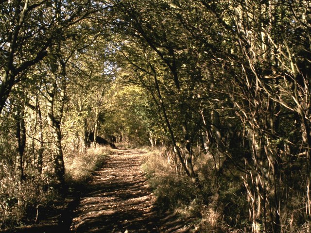
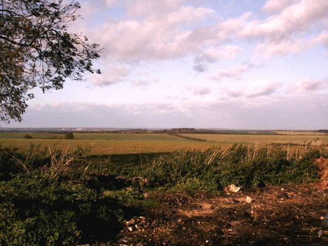
King's Grove is a picturesque woodland area located in Essex, England. Nestled within the larger district of Wood, Forest, this area is renowned for its natural beauty and tranquil ambiance. Spanning over acres of lush greenery, King's Grove is a haven for nature enthusiasts and offers a range of recreational activities for visitors to enjoy.

The woodland is characterized by its dense canopy of towering trees, predominantly consisting of oak, beech, and birch. These majestic trees provide a cool shade during the summer months and create a vibrant display of colors during autumn. The forest floor is adorned with a diverse array of flora, including ferns, wildflowers, and mosses, adding to the enchanting atmosphere of the grove.

The wildlife in King's Grove is abundant, with various species of birds, mammals, and insects calling this woodland their home. Birdwatchers can spot a variety of feathered friends, such as woodpeckers, owls, and thrushes. Squirrels and rabbits can often be seen scurrying through the undergrowth, while elusive deer occasionally make an appearance.

Visitors to King's Grove can explore the numerous walking trails that wind through the woodland, providing an opportunity to immerse oneself in the natural surroundings. These well-maintained paths cater to all levels of fitness and offer breathtaking views of the surrounding countryside. Additionally, there are picnic areas and designated camping spots for those looking to spend a day or two in this idyllic setting.

Overall, King's Grove in Essex is a stunning woodland retreat that showcases the beauty of nature. With its diverse flora and fauna, well-marked trails, and peaceful atmosphere, it is a destination that promises a rejuvenating experience for all who visit.

If you have any feedback on the listing, please let us know in the comments section below.
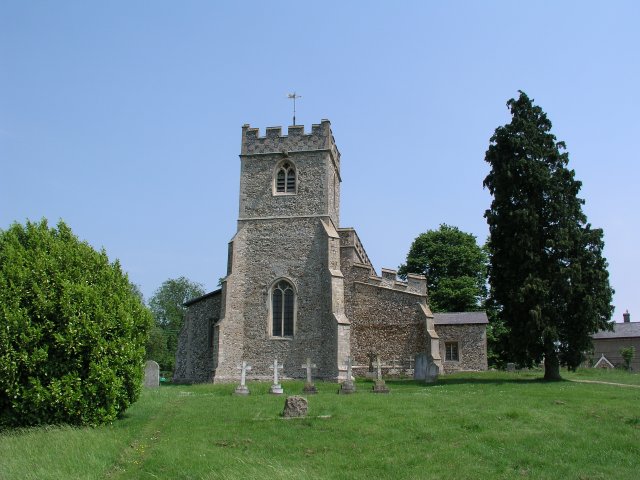
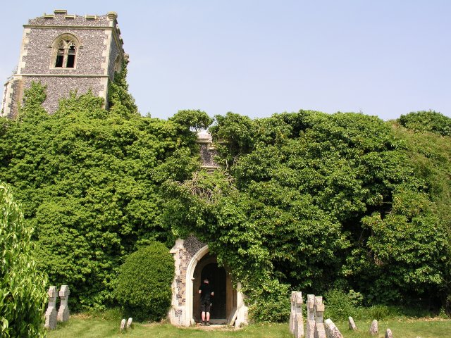
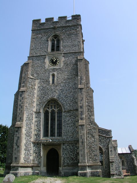
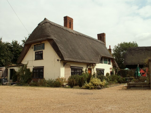
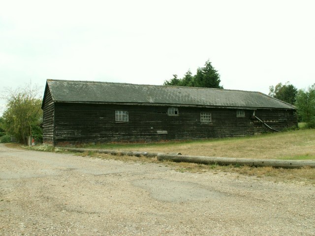
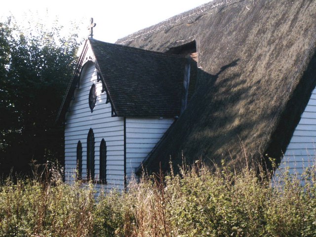
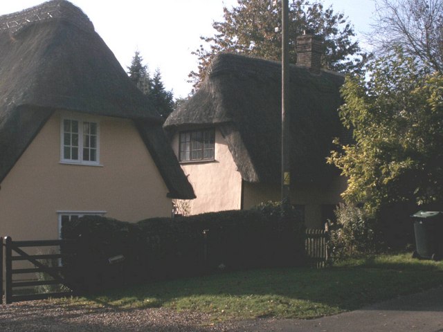
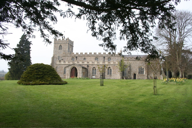
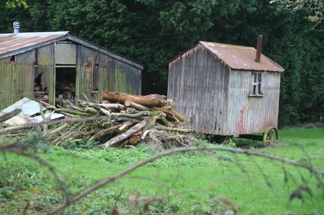
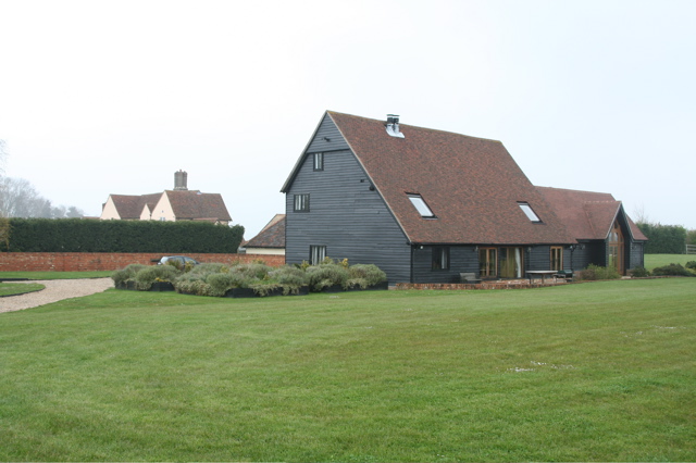
King's Grove Images

Images are sourced within 2km of 52.032811/0.12453678 or Grid Reference TL4539. Thanks to Geograph Open Source API. All images are credited.

Chrishall church
Chrishall church
Ruined church in grounds of Lofts Hall
Elmdon, St Nicholas
Elmdon, St Nicholas
'The Red Cow' inn, Chrishall, Essex
Barn at Parsonage Farm, Chrishall, Essex
Thatched church at Upper Pond Street Officially the parish church of Duddenhoe End but located at Upper Pond Street this church is of timber construction with a thatched roof. It's known locally as 'the hamlet church'.
Thatched church at Upper Pond Street
Officially the parish church of Duddenhoe End but located at Upper Pond Street this church is of timber construction with a thatched roof. It's known locally as 'the hamlet church'.
Thatched cottages at Lower Pond Street Thatched cottages at Lower Pond Street
Thatched cottages at Lower Pond Street
Dark Lane path Dark Lane path near to its junction with Parkhouse Lane by-road.
Dark Lane path
Dark Lane path near to its junction with Parkhouse Lane by-road.
North Essex countryside near Elmdon An autumn view from the Icknield Way long-distance path.
North Essex countryside near Elmdon
An autumn view from the Icknield Way long-distance path.
Autumn colours frame the climb up to Chrishall village View north on Hollow Rd, Chrishall at the entrance to New Farm. (The highest point in Essex is within the parish boundary).
Autumn colours frame the climb up to Chrishall village
View north on Hollow Rd, Chrishall at the entrance to New Farm. (The highest point in Essex is within the parish boundary).
Wire Farm, Crawley End, Chrishall There are five ponds in Chrishall Village but it is difficult to capture the reflections of buildings in any of them. This was taken on a bright, still February morning from the edge of an open field. See <span class="nowrap"><a title="http://www.chrishallessex.com" rel="nofollow ugc noopener" href="http://www.chrishallessex.com">Link</a><img style="margin-left:2px;" alt="External link" title="External link - shift click to open in new window" src="https://s1.geograph.org.uk/img/external.png" width="10" height="10"/></span> for more photos of this village.
Wire Farm, Crawley End, Chrishall
There are five ponds in Chrishall Village but it is difficult to capture the reflections of buildings in any of them. This was taken on a bright, still February morning from the edge of an open field. See LinkExternal link for more photos of this village.
Crawley End Pond, Chrishall The frozen pond supports a light snow covering. The thatched roof of Faerie Cottage is just visible through the trees.
Crawley End Pond, Chrishall
The frozen pond supports a light snow covering. The thatched roof of Faerie Cottage is just visible through the trees.
Crawley End Pond, Chrishall, looking North This pond gets overgrown quite quickly but it had recently been cleared when this photo was taken in May 2002
Crawley End Pond, Chrishall, looking North
This pond gets overgrown quite quickly but it had recently been cleared when this photo was taken in May 2002
A Hovel in Chrishall Dilapidated unoccupied cottage
A Hovel in Chrishall
Dilapidated unoccupied cottage
Chrishall Church and grounds Daffodils and primroses in the grounds. An excellent brass dated 1375 within the church.
Chrishall Church and grounds
Daffodils and primroses in the grounds. An excellent brass dated 1375 within the church.
Chrishall Church A brass of Sir John and Lady De La Pole, dated 1375, and a Norman font are worth seeing in the church.
Chrishall Church
A brass of Sir John and Lady De La Pole, dated 1375, and a Norman font are worth seeing in the church.
Shepherd's Caravan Used during shearing and other times when sheep were moved between pasture at some distance from the farm.
Shepherd's Caravan
Used during shearing and other times when sheep were moved between pasture at some distance from the farm.
New Barns and Chiswick Hall New barn-style development to the north of Chiswick Hall (which can be seen in the background).
New Barns and Chiswick Hall
New barn-style development to the north of Chiswick Hall (which can be seen in the background).
Show me another place!

King's Grove is located at Grid Ref: TL4539 (Lat: 52.032811, Lng: 0.12453678)

Administrative County: Essex

District: Uttlesford

Police Authority: Essex

What 3 Words

///chucks.mixers.procured. Near Great Chesterford, Essex

Related Wikis

Elmdon

See also, Elmdon, West Midlands.Elmdon is a village in the civil parish of Elmdon, Duddenhoe End & Wenden Lofts situated in the Uttlesford district of...

Chrishall

Chrishall (pronounced Chris hall) is a small village in the English county of Essex. It is located 12 miles (20 km) south of Cambridge and lies equidistant...

Wenden Lofts

Wenden Lofts is a small community in the civil parish of Elmdon, Duddenhoe End & Wenden Lofts in the Uttlesford district, in the county of Essex, England...

Duddenhoe End

Duddenhoe End is a small village in the civil parish of Elmdon & Wenden Lofts, in northwest Essex, England, and situated approximately halfway between...

Strethall

Strethall is a village and a civil parish in the Uttlesford District, in the English county of Essex, near the town of Saffron Walden. Having suffered...

Heydon, Cambridgeshire

Heydon is a village and civil parish in Cambridgeshire, England. The parish of Heydon was transferred from Essex to Cambridgeshire in 1894. The area of...

Littlebury Green

Littlebury Green is a village in the civil parish of Littlebury and the district of Uttlesford in Essex, England. Littlebury Green is one of three settlements...

Great Chishill

Great Chishill is a village and former civil parish, now in the parish of Great and Little Chishill, in the South Cambridgeshire district, in the county...

Nearby Amenities

Located within 500m of 52.032811,0.12453678
Ele: 130
Lat/Long: 52.0365106/0.1256085
Post Box
Brand: Royal Mail
Brand Wikidata: Q638098
Brand Wikipedia: en:Royal Mail
Collection Times: Mo-Fr 09:00; Sa 07:00
Operator: Royal Mail
Operator Wikidata: Q638098
Post Box Type: lamp
Ref: CB11 63
Royal Cypher: EIIR
Royal Cypher Wikidata: Q33102113
Source: survey
Lat/Long: 52.0345727/0.1290866
Bus Stop
Kings Lane
Bench: no
Bin: no
Bus: yes
Fixme: These bus stops may need distancing
Lit: no
Naptan AtcoCode: 1500IM1000
Naptan Bearing: S
Naptan BusStopType: CUS
Naptan CommonName: Kings Lane
Naptan Crossing: Kings Lane
Naptan Indicator: Adj
Naptan Landmark: Kings Lane
Naptan NaptanCode: esxadgwj
Naptan Street: Essex Hill
Naptan Verified: no
Public Transport: platform
Shelter: no
Source: naptan_import
Tactile Paving: no
Lat/Long: 52.0342924/0.1291372
Bus Stop
Kings Lane
Bench: no
Bin: no
Bus: yes
Fixme: These bus stops may need distancing
Lit: no
Naptan AtcoCode: 1500IM1000AA
Naptan Bearing: N
Naptan BusStopType: CUS
Naptan CommonName: Kings Lane
Naptan Crossing: Kings Lane
Naptan Indicator: Opp
Naptan Landmark: Kings Lane
Naptan NaptanCode: esxgtgwt
Naptan Street: Essex Hill
Naptan Verified: no
Public Transport: platform
Shelter: no
Source: naptan_import
Tactile Paving: no
Lat/Long: 52.034298/0.1289946
Bus Stop
Ickleton Road
Bench: yes
Bin: yes
Bus: yes
Lit: no
Local Ref: adj
Naptan AtcoCode: 1500IM2560
Naptan Bearing: SE
Naptan CommonName: Elmdon Cross
Naptan Crossing: Essex Hill
Naptan Indicator: adj
Naptan Landmark: Elmdon Cross
Naptan NaptanCode: esxdatmj
Naptan Street: Heydon Lane
Naptan Verified: no
Public Transport: platform
Shelter: yes
Source: naptan_import
Tactile Paving: no
Lat/Long: 52.0358609/0.1290841
Bus Stop
Ickleton Road
Bench: yes
Bin: no
Bus: yes
Lit: no
Local Ref: opp
Naptan AtcoCode: 1500IM2560AA
Naptan Bearing: NW
Naptan BusStopType: CUS
Naptan CommonName: Elmdon Cross
Naptan Crossing: Essex Hill
Naptan Indicator: opp
Naptan Landmark: Elmdon Cross
Naptan NaptanCode: esxgpjdg
Naptan Street: Heydon Lane
Naptan Verified: no
Public Transport: platform
Shelter: no
Source: naptan_import
Tactile Paving: no
Lat/Long: 52.0358187/0.1289485
Note Splitway: Split the way here, owing to turning 31 (Village Link) buses.
Lat/Long: 52.0358418/0.1289901
Power: pole
Lat/Long: 52.0341026/0.1183765
Power: pole
Lat/Long: 52.034398/0.1209569
Power: pole
Lat/Long: 52.0346157/0.1195137
Barrier: kissing_gate
Foot: yes
Source: GPS
Lat/Long: 52.0308803/0.1287125
Telephone
Booth: K6
Covered: booth
Listed Status: Grade II
Phone: +44 1763 838260
Wikidata: Q26532791
Lat/Long: 52.034375/0.1290245
Barrier: swing_gate
Lat/Long: 52.0345858/0.1197311
Advertising: board
Direction: 55
Lat/Long: 52.0358143/0.1288884
Bench
Backrest: yes
Material: wood
Lat/Long: 52.0357987/0.1288992
Advertising: board
Direction: 210
Lat/Long: 52.0359232/0.129382
Historic: memorial
Memorial: war_memorial
Lat/Long: 52.0359232/0.1290722
The data included in this document is from www.openstreetmap.org. The data is made available under ODbL.

Have you been to King's Grove?

Leave your review of King's Grove below (or comments, questions and feedback).