Gatney Spring

Wood, Forest in Hertfordshire East Hertfordshire

England

Gatney Spring

Downtown Green Tye Green Tye is a small hamlet comprising a public house and a few houses.
Downtown Green Tye Credit: David Kemp

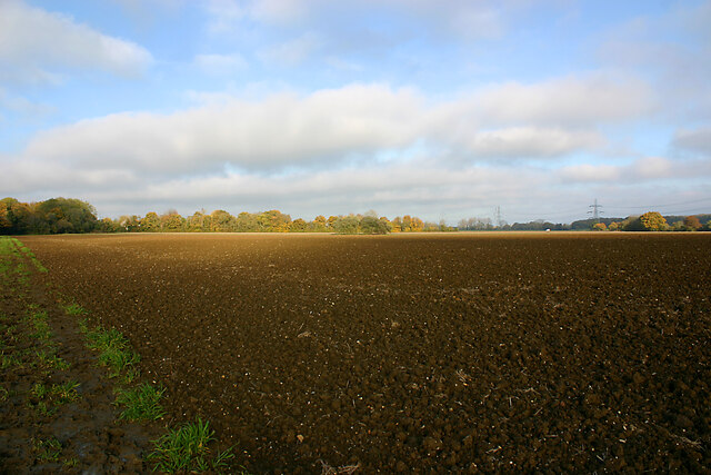
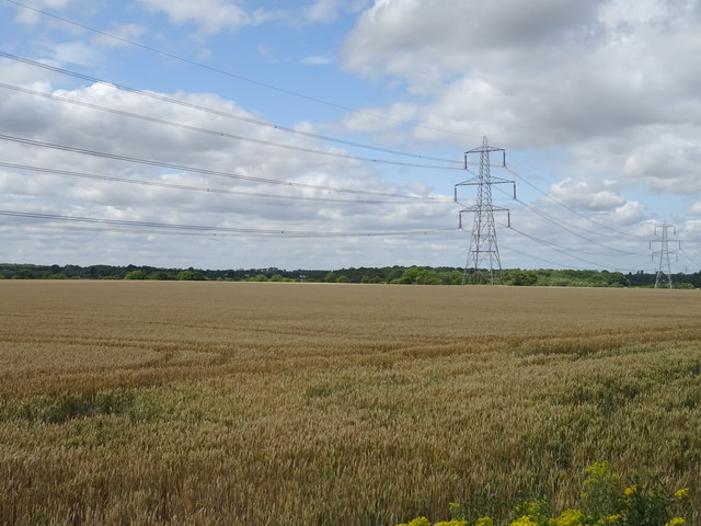
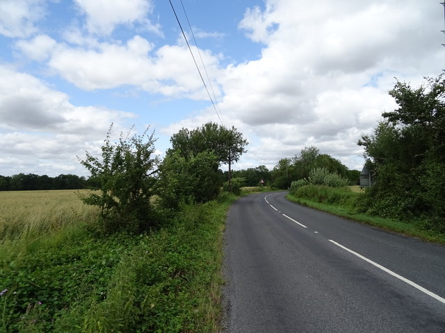
Gatney Spring is a picturesque woodland located in the county of Hertfordshire, England. It is a part of the larger Forest of Hertfordshire, known for its natural beauty and diverse wildlife. The woodland covers an area of approximately 100 acres and is a popular destination for nature lovers and outdoor enthusiasts.

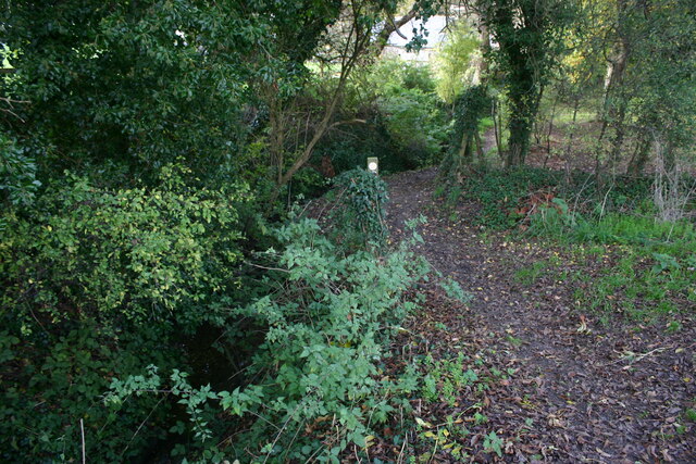
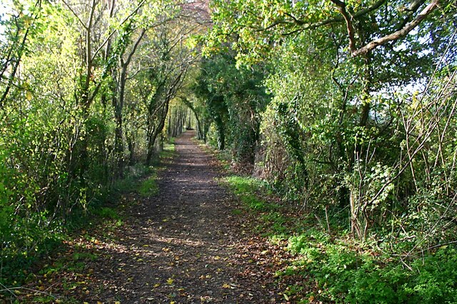
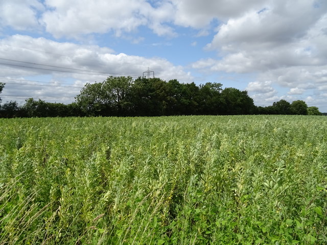
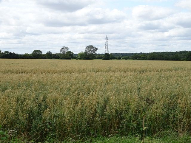
Gatney Spring is characterized by its dense tree cover, primarily consisting of native species such as oak, beech, and birch. The forest floor is rich in flora, with an abundance of wildflowers, ferns, and mosses. The woodland is particularly enchanting during springtime when the forest awakens with vibrant colors and fragrant blossoms.

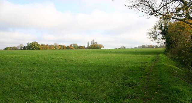
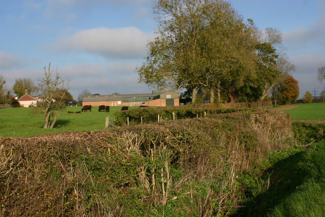
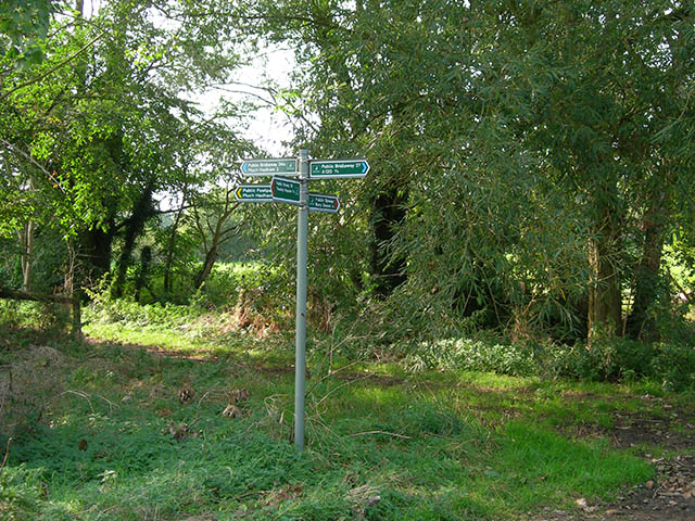
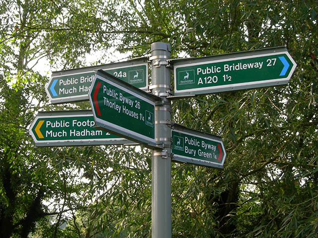
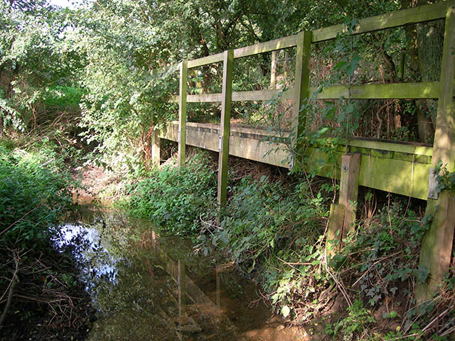
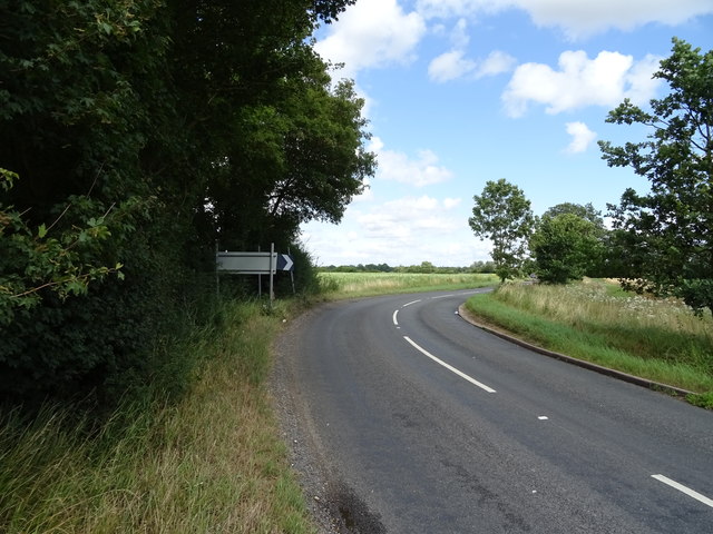
The area is crisscrossed with a network of well-maintained walking trails, allowing visitors to explore the woodland at their own pace. These trails offer stunning views of the surrounding landscape, including a serene lake and a meandering stream that runs through the heart of the forest. The tranquil atmosphere and serene beauty of Gatney Spring make it a perfect spot for a peaceful walk, birdwatching, or simply enjoying the serenity of nature.

The forest is also home to a wide variety of wildlife, including deer, squirrels, rabbits, and numerous bird species. Nature enthusiasts will have the opportunity to spot rare and protected species such as the red kite and the lesser-spotted woodpecker. Gatney Spring offers a sanctuary for these creatures, providing a vital habitat for their survival.

Overall, Gatney Spring in Hertfordshire is a haven for nature lovers and offers a serene and idyllic escape from the hustle and bustle of everyday life.

If you have any feedback on the listing, please let us know in the comments section below.

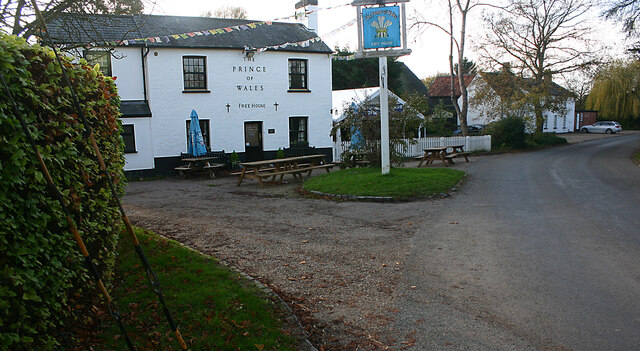
Gatney Spring Images

Images are sourced within 2km of 51.850128/0.11336604 or Grid Reference TL4518. Thanks to Geograph Open Source API. All images are credited.

Downtown Green Tye Green Tye is a small hamlet comprising a public house and a few houses.
Downtown Green Tye
Green Tye is a small hamlet comprising a public house and a few houses.
Footpath leading to Danebridge Road, Much Hadham The path makes a gentle descent through woodland from a grassy plateau in the valley of the River Ash.
Footpath leading to Danebridge Road, Much Hadham
The path makes a gentle descent through woodland from a grassy plateau in the valley of the River Ash.
Grassy plateau north-west of Green Tye The countryside hereabouts is characterised by flat terrains incised by streams which have created wooded mini-valleys.
Grassy plateau north-west of Green Tye
The countryside hereabouts is characterised by flat terrains incised by streams which have created wooded mini-valleys.
Brook Lane, near Perry Green Brook Lane is a by-way between farms to the west of Perry Green.
Brook Lane, near Perry Green
Brook Lane is a by-way between farms to the west of Perry Green.
Plateau country west of Perry Green The countryside hereabouts is characterised by flat terrains incised by streams which have created wooded mini-valleys. The OS map shows the track on the left as "a road used as a public path" but there was little evidence of its recent use as a road.
Plateau country west of Perry Green
The countryside hereabouts is characterised by flat terrains incised by streams which have created wooded mini-valleys. The OS map shows the track on the left as "a road used as a public path" but there was little evidence of its recent use as a road.
Grazing land at Bucklers Hall Farm, Perry Green
Thorley Lane West The entrance to the lane from the B1004, Castle Farm is to the right
Thorley Lane West
The entrance to the lane from the B1004, Castle Farm is to the right
Power lines The power lines cross the cross the byway at GR TL45932041
Power lines
The power lines cross the cross the byway at GR TL45932041
Junction of paths A well-marked junction of five paths near Lower Farm, typical of many of the Hertfordshire footpaths.
Junction of paths
A well-marked junction of five paths near Lower Farm, typical of many of the Hertfordshire footpaths.
Close-up of signpost The signpost is at the junction of five footpaths near Lower Farm
Close-up of signpost
The signpost is at the junction of five footpaths near Lower Farm
Footbridge The path from Lower Farm towards Dane Bridge crosses this stream after 100m or so.
Footbridge
The path from Lower Farm towards Dane Bridge crosses this stream after 100m or so.
St James Way, Bishop's Stortford This is part of the ring road
St James Way, Bishop's Stortford
This is part of the ring road
Field by Hadham Road, Bishop's Stortford
Cereal crop and pylons West of Bishop's Stortford.
Cereal crop and pylons
West of Bishop's Stortford.
Bend in the B1004 towards Bishop's Stortford
Crop field off the B1004
Cereal crop, Thorley Houses Off the B1004.
Cereal crop, Thorley Houses
Off the B1004.
Great Hadham Road The B1004 towards Bishop's Stortford.
Great Hadham Road
The B1004 towards Bishop's Stortford.
Show me another place!

Gatney Spring is located at Grid Ref: TL4518 (Lat: 51.850128, Lng: 0.11336604)

Administrative County: Hertfordshire

District: East Hertfordshire

Police Authority: Hertfordshire

What 3 Words

///area.timing.ever. Near Much Hadham, Hertfordshire

Nearby Locations

Gatney Spring

Related Wikis

RAF Sawbridgeworth

Royal Air Force Sawbridgeworth or more simply RAF Sawbridgeworth is a former Royal Air Force station located 5.2 miles (8.4 km) north of Harlow, Essex...

Perry Green, Hertfordshire

Perry Green is a scattered hamlet in Hertfordshire, England, near Much Hadham. The sculptor Henry Moore settled there in 1941. His house Hoglands now forms...

Henry Moore Foundation

The Henry Moore Foundation is a registered charity in England, established for education and promotion of the fine arts — in particular, to advance understanding...

Thorley, Hertfordshire

Thorley is a village and civil parish in Bishops Stortford, East Hertfordshire district of Hertfordshire, England. The parish includes the hamlets of Thorley...

Much Hadham Palace

Much Hadham House is a manor house adjacent to the church in Much Hadham, Hertfordshire, England, formerly belonging to the Bishops of London. It is a...

Hadham Rural District

Hadham Rural District was a rural district in Hertfordshire, England from 1894 to 1935, covering an area in the east of the county. == Evolution == The...

Much Hadham

Much Hadham, formerly known as Great Hadham, is a village and civil parish in the district of East Hertfordshire, Hertfordshire, England. The parish of...

Spellbrook

Spellbrook is a hamlet in Hertfordshire, situated between Bishop's Stortford and Sawbridgeworth. == Location == Spellbrook is one mile south of Bishop...

Nearby Amenities

Located within 500m of 51.850128,0.11336604
Power: tower
Lat/Long: 51.8491272/0.1102343
Power: tower
Lat/Long: 51.8524037/0.1119766
Information: guidepost
Tourism: information
Lat/Long: 51.8484885/0.1196939
Building: bunker
Bunker Type: pillbox
Military: bunker
Lat/Long: 51.8474626/0.1166682
Building: bunker
Bunker Type: pillbox
Military: bunker
Lat/Long: 51.8489111/0.113311
Barrier: wicket_gate
Lat/Long: 51.8502078/0.1100812
The data included in this document is from www.openstreetmap.org. The data is made available under ODbL.

Have you been to Gatney Spring?

Leave your review of Gatney Spring below (or comments, questions and feedback).