Belt Plantation
Wood, Forest in Lincolnshire East Lindsey
England
Belt Plantation
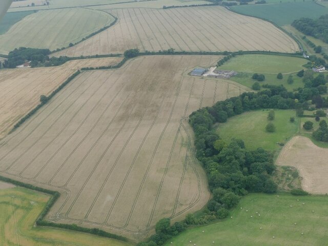
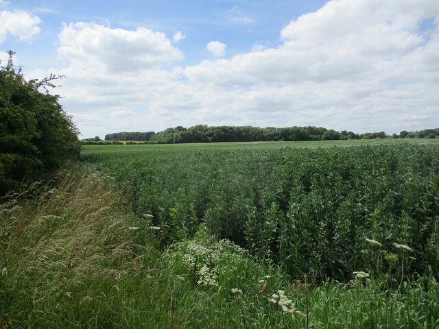
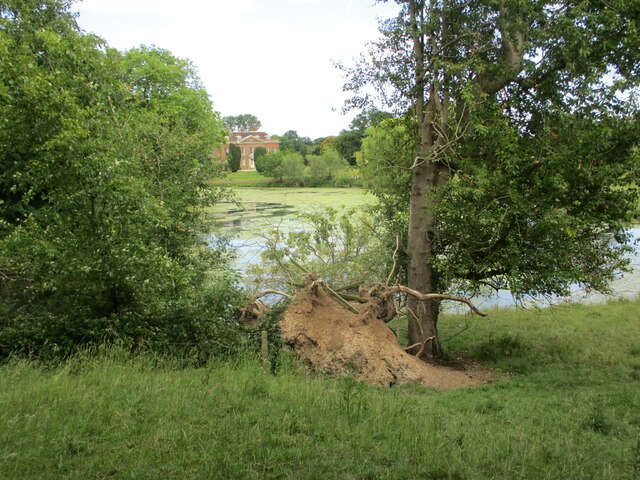
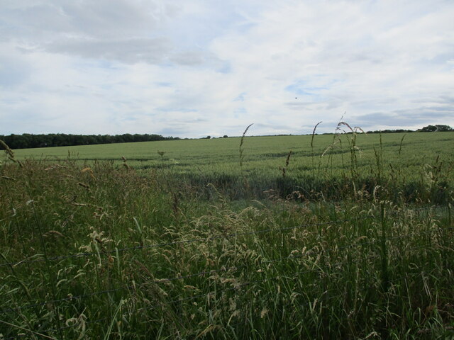
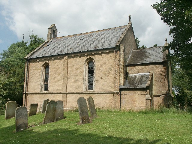
Belt Plantation is a picturesque woodland located in the county of Lincolnshire, England. Situated in the heart of the county, the plantation covers an area of approximately 200 acres and is known for its stunning natural beauty and diverse range of flora and fauna.
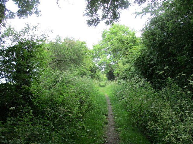
The woodland is predominantly composed of native broadleaf trees such as oak, beech, and birch, creating a dense canopy that provides shade and shelter for a variety of wildlife. The forest floor is adorned with a rich carpet of wildflowers, including bluebells, primroses, and wood anemones, which add bursts of color throughout the seasons.
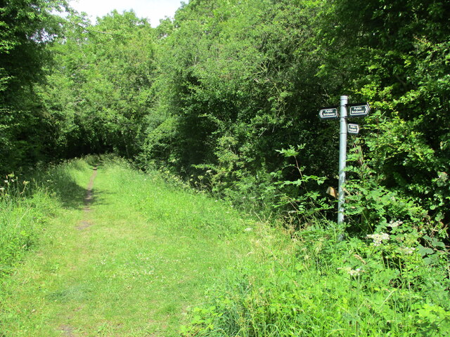
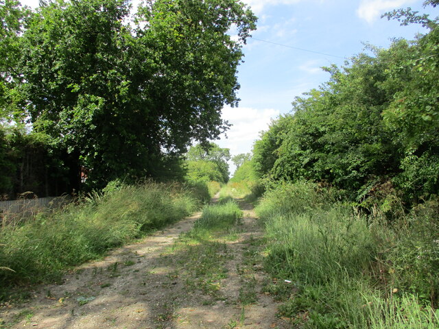
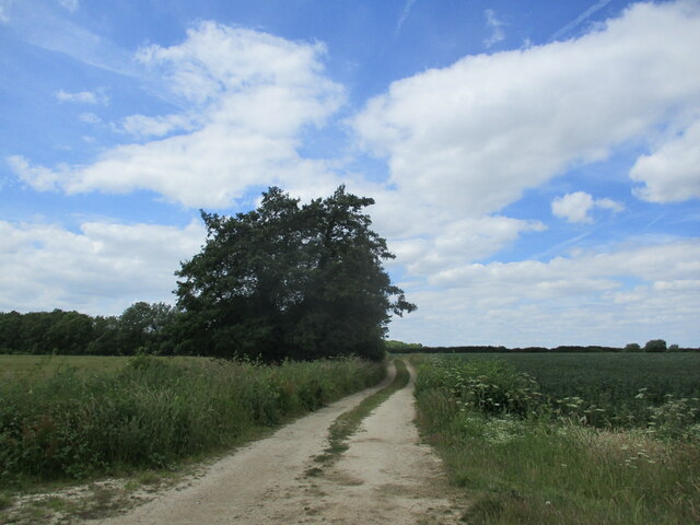
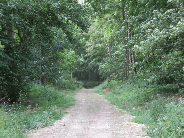
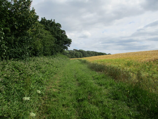
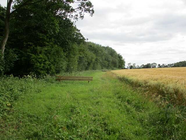
Belt Plantation boasts a network of well-maintained footpaths and trails, making it a popular destination for nature enthusiasts, walkers, and cyclists. Visitors can explore the winding paths that meander through the woodland, offering glimpses of hidden glades, tranquil ponds, and babbling brooks along the way. The plantation is also home to a number of bird species, making it an ideal spot for birdwatching.
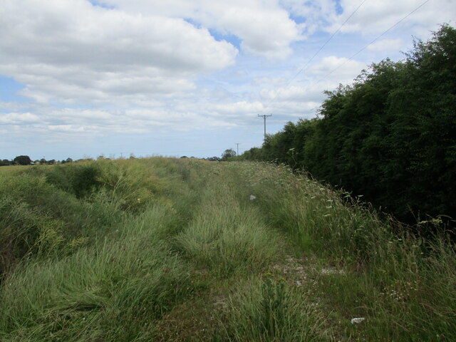
Managed by the local conservation authority, Belt Plantation is a protected area that aims to preserve and enhance the natural habitat. Conservation efforts include the selective thinning of trees, creating openings in the canopy to encourage the growth of understory plants and attract a wider range of wildlife.
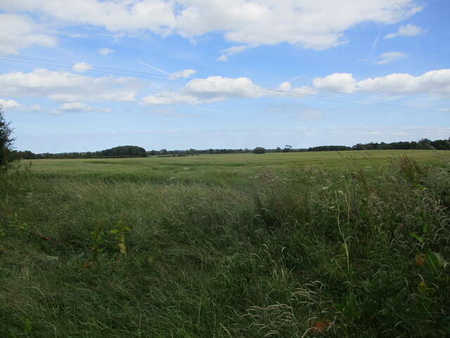
Overall, Belt Plantation in Lincolnshire is a haven for nature lovers, offering a tranquil escape from the hustle and bustle of everyday life, and providing a valuable habitat for a diverse range of plants and animals.
If you have any feedback on the listing, please let us know in the comments section below.
Belt Plantation Images
Images are sourced within 2km of 53.235129/0.17711861 or Grid Reference TF4573. Thanks to Geograph Open Source API. All images are credited.


Belt Plantation is located at Grid Ref: TF4573 (Lat: 53.235129, Lng: 0.17711861)
Administrative County: Lincolnshire
District: East Lindsey
Police Authority: Lincolnshire
What 3 Words
///tasty.frocks.shredder. Near Alford, Lincolnshire
Nearby Locations
Related Wikis

Mawthorpe
Mawthorpe is a hamlet in the East Lindsey district of Lincolnshire, England. It is situated 2 miles (3 km) south from Alford and 1 mile (1.6 km) north...
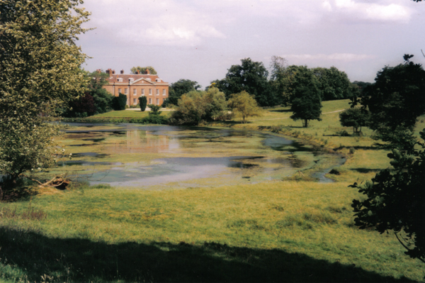
Well Hall, Lincolnshire
Well Hall (or Wellvale Hall) is a country house within the civil parish and estate village of Well, Lincolnshire, England. The house itself is Grade II...

Well, Lincolnshire
Well is a small estate village and civil parish about 1.5 miles (2.4 km) south of the town of Alford, in the East Lindsey district of Lincolnshire, England...

Willoughby railway station
Willoughby was a railway station on the East Lincolnshire Railway which served the village of Willoughby in Lincolnshire between 1848 and 1970. In 1886...
Claxby St Andrew
Claxby St Andrew (sometimes known as Claxby), is a village and civil parish about 3 miles (5 km) south of Alford, in the East Lindsey district of Lincolnshire...
Miles Cross Hill
Miles Cross Hill is a large hill that is the sloping gradient up to the landscape of the Lincolnshire Wolds. As it is the first large hill of the Wolds...

Farlesthorpe
Farlesthorpe is a hamlet in the East Lindsey district of Lincolnshire, England. It is situated approximately 2 miles (3 km) south-east from Alford, and...
Alford Town railway station
Alford Town was a railway station on the East Lincolnshire Railway which served the town of Alford in Lincolnshire between 1848 and 1970. It originally...
Nearby Amenities
Located within 500m of 53.235129,0.17711861Have you been to Belt Plantation?
Leave your review of Belt Plantation below (or comments, questions and feedback).