Park Wood

Wood, Forest in Essex Uttlesford

England

Park Wood

Chrishall church
Chrishall church Credit: mym

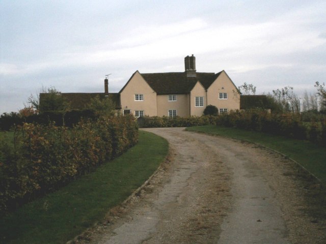
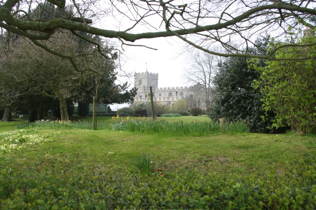
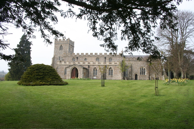
Park Wood is a picturesque woodland located in the county of Essex, England. Covering an area of approximately 200 acres, it is a popular destination for nature enthusiasts and outdoor lovers. The wood is situated near the village of Great Leighs, just a short distance from Chelmsford, the county town of Essex.

The woodland is predominantly composed of native broadleaf trees, including oak, ash, and beech, which create a dense canopy and provide a perfect habitat for a wide variety of wildlife. Visitors can expect to spot a range of bird species, such as woodpeckers, tits, and finches, as well as small mammals like squirrels and rabbits.

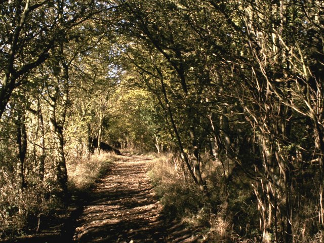
Park Wood offers visitors a network of well-maintained trails and pathways, making it an ideal location for walking, jogging, and cycling. The diverse flora and fauna provide a beautiful backdrop for leisurely strolls and offer an opportunity for peaceful solitude amidst nature.

In addition to its natural beauty, Park Wood also boasts a rich historical background. The area has evidence of human habitation dating back to the Iron Age, and remnants of ancient earthworks can still be seen within the woodland. These historical features add an intriguing element to the overall experience of exploring Park Wood.

Overall, Park Wood, Essex is a captivating destination for anyone seeking tranquility and a chance to connect with nature. Its combination of stunning landscapes, diverse wildlife, and historical significance make it a must-visit location for both locals and tourists alike.

If you have any feedback on the listing, please let us know in the comments section below.
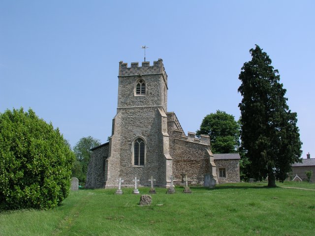
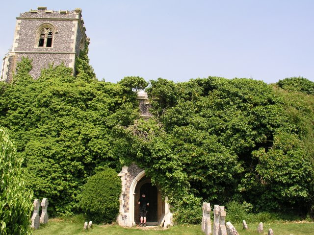
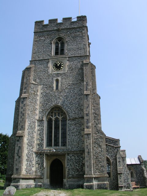
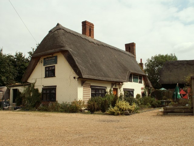
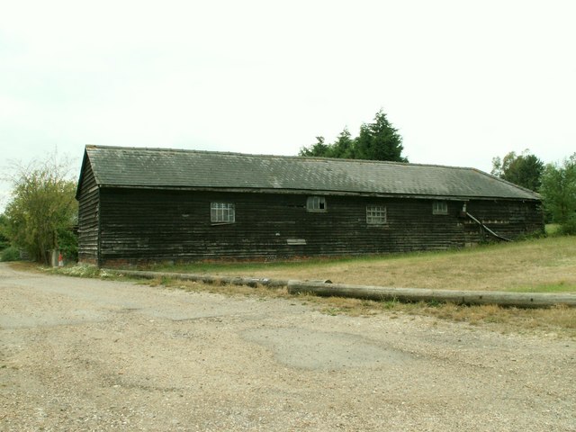
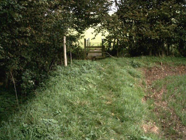
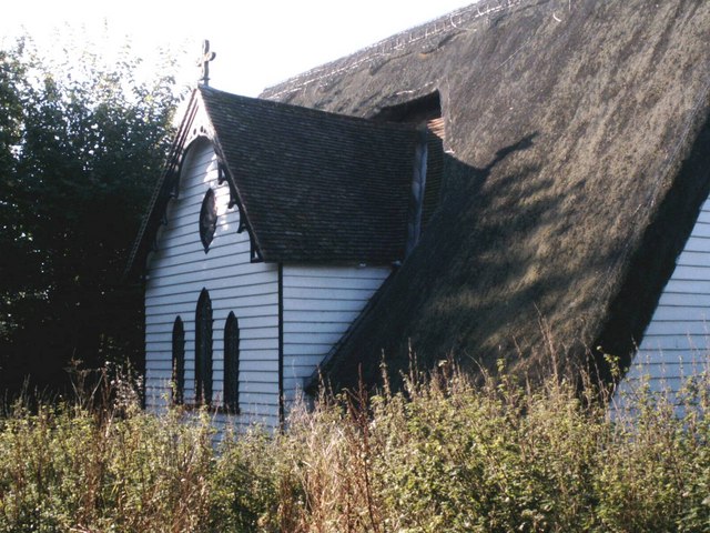
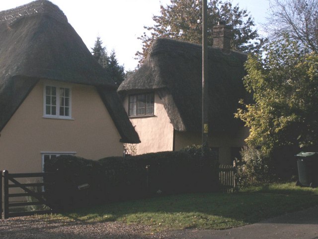
Park Wood Images

Images are sourced within 2km of 52.030313/0.11794556 or Grid Reference TL4538. Thanks to Geograph Open Source API. All images are credited.

Chrishall church
Chrishall church
Ruined church in grounds of Lofts Hall
Elmdon, St Nicholas
Elmdon, St Nicholas
'The Red Cow' inn, Chrishall, Essex
Barn at Parsonage Farm, Chrishall, Essex
Footpath bridge by Barnard's Wood Bridge over the stream on the footpath between the B1039 and Chrishall, nearby Barnard's Wood.
Footpath bridge by Barnard's Wood
Bridge over the stream on the footpath between the B1039 and Chrishall, nearby Barnard's Wood.
Thatched church at Upper Pond Street Officially the parish church of Duddenhoe End but located at Upper Pond Street this church is of timber construction with a thatched roof. It's known locally as 'the hamlet church'.
Thatched church at Upper Pond Street
Officially the parish church of Duddenhoe End but located at Upper Pond Street this church is of timber construction with a thatched roof. It's known locally as 'the hamlet church'.
Thatched cottages at Lower Pond Street Thatched cottages at Lower Pond Street
Thatched cottages at Lower Pond Street
Chiswick Hall Believed to be the oldest building in the area.
Chiswick Hall
Believed to be the oldest building in the area.
Dark Lane path Dark Lane path near to its junction with Parkhouse Lane by-road.
Dark Lane path
Dark Lane path near to its junction with Parkhouse Lane by-road.
Autumn colours frame the climb up to Chrishall village View north on Hollow Rd, Chrishall at the entrance to New Farm. (The highest point in Essex is within the parish boundary).
Autumn colours frame the climb up to Chrishall village
View north on Hollow Rd, Chrishall at the entrance to New Farm. (The highest point in Essex is within the parish boundary).
Wire Farm, Crawley End, Chrishall There are five ponds in Chrishall Village but it is difficult to capture the reflections of buildings in any of them. This was taken on a bright, still February morning from the edge of an open field. See <span class="nowrap"><a title="http://www.chrishallessex.com" rel="nofollow ugc noopener" href="http://www.chrishallessex.com">Link</a><img style="margin-left:2px;" alt="External link" title="External link - shift click to open in new window" src="https://s1.geograph.org.uk/img/external.png" width="10" height="10"/></span> for more photos of this village.
Wire Farm, Crawley End, Chrishall
There are five ponds in Chrishall Village but it is difficult to capture the reflections of buildings in any of them. This was taken on a bright, still February morning from the edge of an open field. See LinkExternal link for more photos of this village.
Crawley End Pond, Chrishall The frozen pond supports a light snow covering. The thatched roof of Faerie Cottage is just visible through the trees.
Crawley End Pond, Chrishall
The frozen pond supports a light snow covering. The thatched roof of Faerie Cottage is just visible through the trees.
Crawley End Pond, Chrishall, looking North This pond gets overgrown quite quickly but it had recently been cleared when this photo was taken in May 2002
Crawley End Pond, Chrishall, looking North
This pond gets overgrown quite quickly but it had recently been cleared when this photo was taken in May 2002
A Hovel in Chrishall Dilapidated unoccupied cottage
A Hovel in Chrishall
Dilapidated unoccupied cottage
Chrishall Church and grounds Daffodils and primroses in the grounds. An excellent brass dated 1375 within the church.
Chrishall Church and grounds
Daffodils and primroses in the grounds. An excellent brass dated 1375 within the church.
Chrishall Church A brass of Sir John and Lady De La Pole, dated 1375, and a Norman font are worth seeing in the church.
Chrishall Church
A brass of Sir John and Lady De La Pole, dated 1375, and a Norman font are worth seeing in the church.
Shepherd's Caravan Used during shearing and other times when sheep were moved between pasture at some distance from the farm.
Shepherd's Caravan
Used during shearing and other times when sheep were moved between pasture at some distance from the farm.
Show me another place!

Park Wood is located at Grid Ref: TL4538 (Lat: 52.030313, Lng: 0.11794556)

Administrative County: Essex

District: Uttlesford

Police Authority: Essex

What 3 Words

///lease.safety.including. Near Great Chesterford, Essex

Nearby Locations

Park Wood

Related Wikis

Chrishall

Chrishall (pronounced Chris hall) is a small village in the English county of Essex. It is located 12 miles (20 km) south of Cambridge and lies equidistant...

Elmdon

See also, Elmdon, West Midlands.Elmdon is a village in the civil parish of Elmdon, Duddenhoe End & Wenden Lofts situated in the Uttlesford district of...

Wenden Lofts

Wenden Lofts is a small community in the civil parish of Elmdon, Duddenhoe End & Wenden Lofts in the Uttlesford district, in the county of Essex, England...

Duddenhoe End

Duddenhoe End is a small village in the civil parish of Elmdon & Wenden Lofts, in northwest Essex, England, and situated approximately halfway between...

Heydon, Cambridgeshire

Heydon is a village and civil parish in Cambridgeshire, England. The parish of Heydon was transferred from Essex to Cambridgeshire in 1894. The area of...

Strethall

Strethall is a village and a civil parish in the Uttlesford District, in the English county of Essex, near the town of Saffron Walden. Having suffered...

Littlebury Green

Littlebury Green is a village in the civil parish of Littlebury and the district of Uttlesford in Essex, England. Littlebury Green is one of three settlements...

Great Chishill

Great Chishill is a village and former civil parish, now in the parish of Great and Little Chishill, in the South Cambridgeshire district, in the county...

Nearby Amenities

Located within 500m of 52.030313,0.11794556
Barrier: kissing_gate
Foot: yes
Lat/Long: 52.0272694/0.1136607
Power: pole
Lat/Long: 52.0341026/0.1183765
Power: pole
Lat/Long: 52.0317232/0.1130122
Power: pole
Lat/Long: 52.034398/0.1209569
Power: pole
Lat/Long: 52.0346157/0.1195137
Power: pole
Lat/Long: 52.0329575/0.1157963
Power: pole
Lat/Long: 52.0323601/0.1144338
Bench
Commemorates: sayako grace robinson
Lat/Long: 52.0272255/0.1142988
Barrier: kissing_gate
Foot: yes
Lat/Long: 52.0280641/0.1128885
Barrier: swing_gate
Lat/Long: 52.0345858/0.1197311
Man Made: pumping_station
Lat/Long: 52.0298682/0.1117414
The data included in this document is from www.openstreetmap.org. The data is made available under ODbL.

Have you been to Park Wood?

Leave your review of Park Wood below (or comments, questions and feedback).