Alder Shaw

Wood, Forest in Sussex Wealden

England

Alder Shaw

Hatch Inn at Colemans Hatch Serving Harveys bitter and good food. A popular haunt but parking can be tricky on busy days.
Hatch Inn at Colemans Hatch Credit: Nigel Freeman

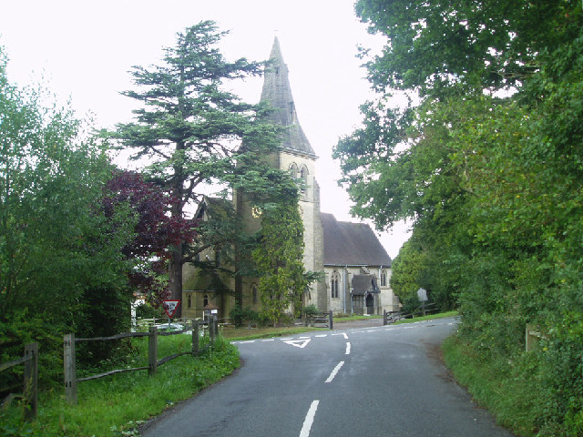
Alder Shaw, Sussex (Wood, Forest) is a picturesque village nestled in the heart of the Sussex countryside in England. Located in the southeastern part of the county, this charming village is surrounded by dense woodlands and enchanting forests, giving it a serene and tranquil atmosphere.

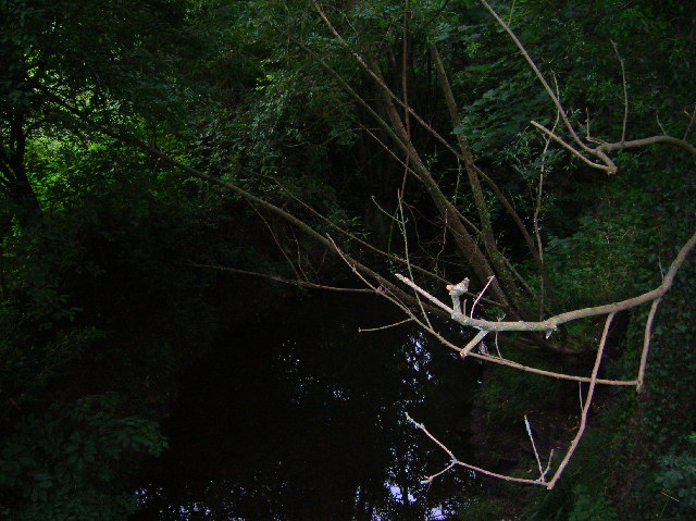
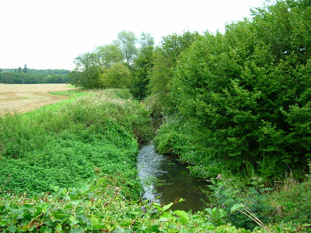
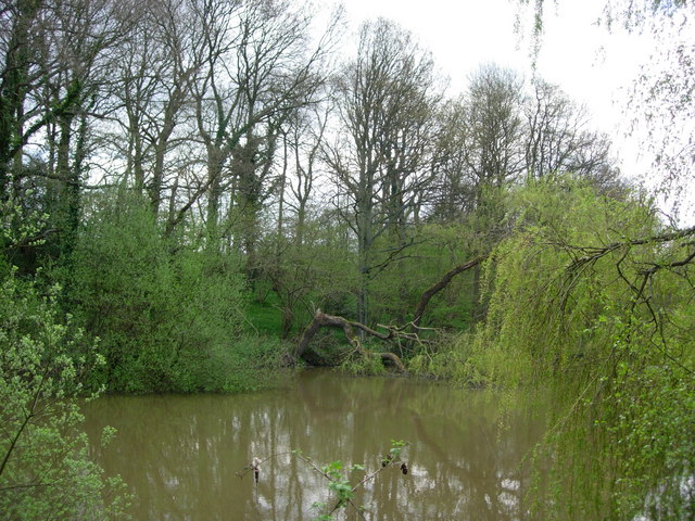
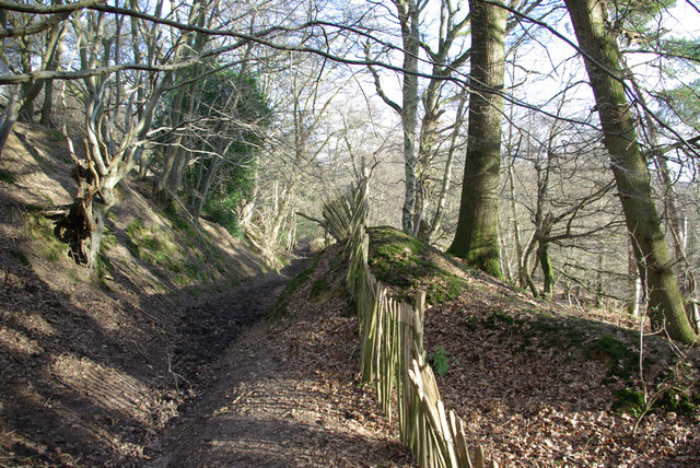
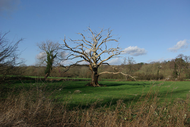
The village takes its name from the abundance of alder trees that populate the area, providing a lush green backdrop throughout the year. The tall, slender trees with their distinctive leaves create a unique and idyllic landscape that attracts nature lovers and outdoor enthusiasts.

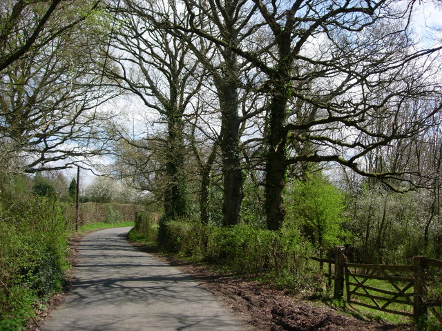
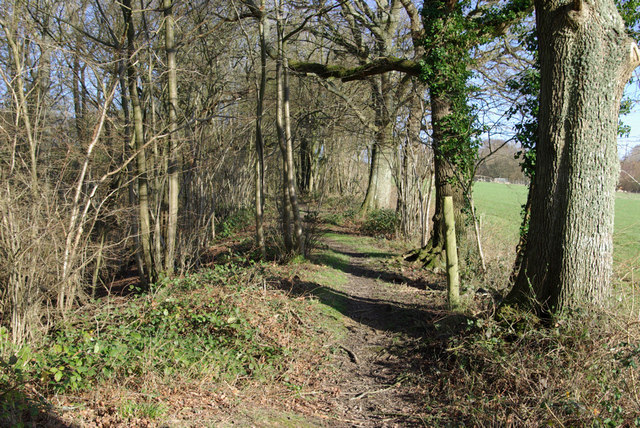
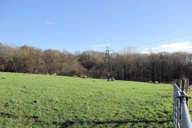
Alder Shaw is known for its stunning natural beauty, with numerous walking trails and hiking routes meandering through the woods and forests. These trails offer breathtaking views of the surrounding countryside and are a haven for birdwatching and wildlife spotting. The tranquil environment also makes it an ideal spot for meditation and relaxation.

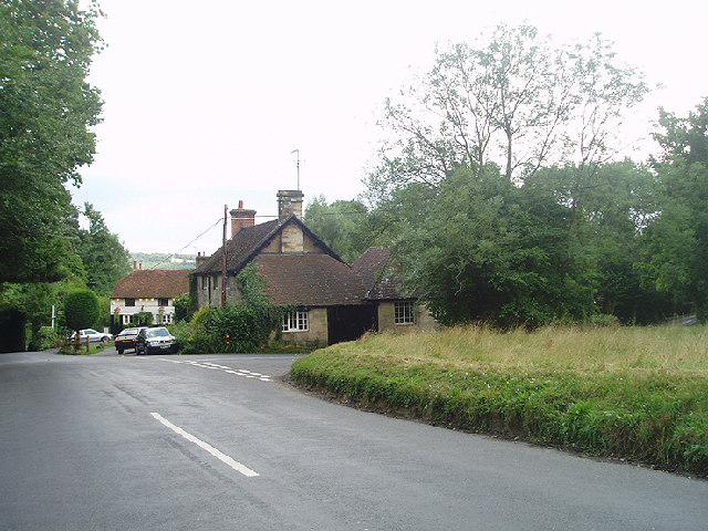
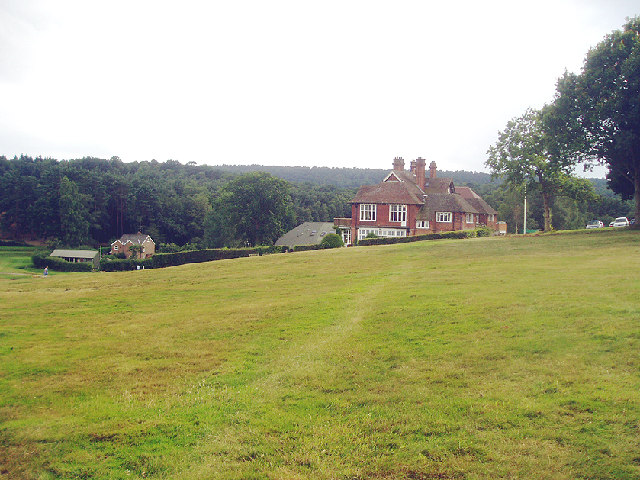
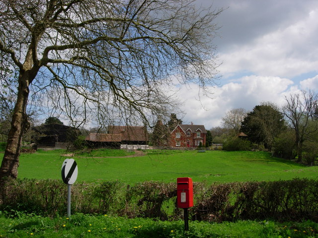
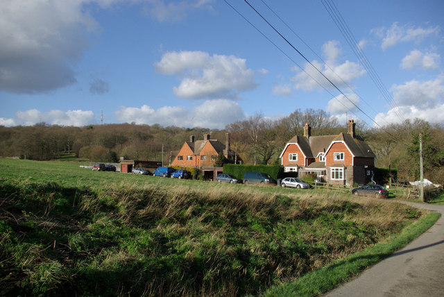
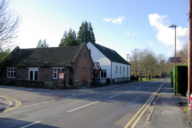
The village itself is small but charming, with traditional cottages and country houses dotting the landscape. The community is close-knit and friendly, with a strong sense of community spirit. The local pub, The Alder Inn, is a popular gathering place for both residents and visitors, offering a cozy atmosphere and hearty traditional meals.

Although secluded, Alder Shaw is conveniently located within a short drive of larger towns and cities, providing access to a range of amenities and services. The close proximity to nature, combined with the convenience of modern facilities, makes Alder Shaw an ideal place to live or visit for those seeking a peaceful escape from the hustle and bustle of city life.

If you have any feedback on the listing, please let us know in the comments section below.
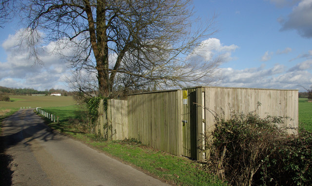
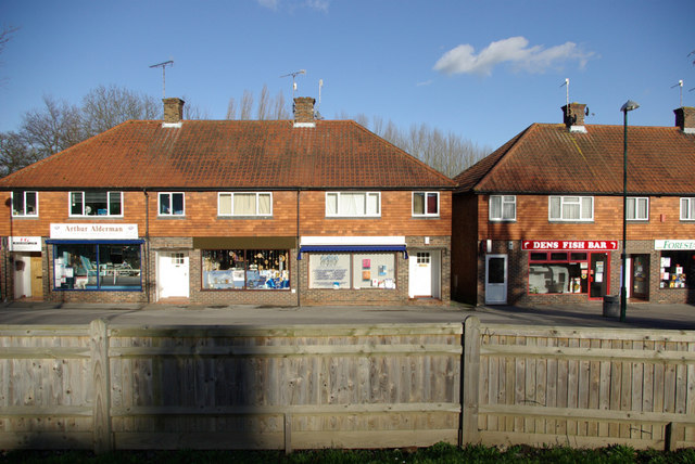
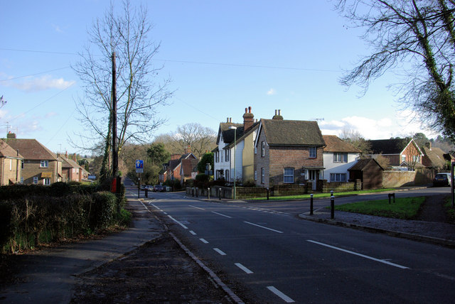
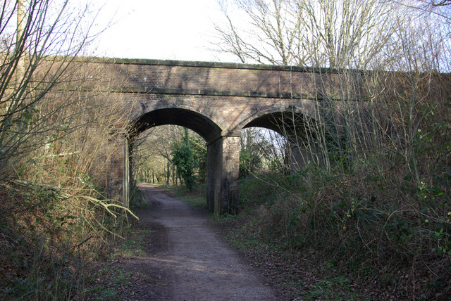
Alder Shaw Images

Images are sourced within 2km of 51.097422/0.064190341 or Grid Reference TQ4435. Thanks to Geograph Open Source API. All images are credited.

Hatch Inn at Colemans Hatch Serving Harveys bitter and good food. A popular haunt but parking can be tricky on busy days.
Hatch Inn at Colemans Hatch
Serving Harveys bitter and good food. A popular haunt but parking can be tricky on busy days.
Colemans Hatch church The church is on a sharp bend on the road from Forest Row to Upper Hartfield
Colemans Hatch church
The church is on a sharp bend on the road from Forest Row to Upper Hartfield
Royal Ashdown Forest Golf Club Founded in 1888, the 'old course' is one of the best heathland courses in Sussex and also voted one of the best 100 golf courses ! Plenty of heather and natural hazards but no sand bunkers. Set amongst the varied trees of the Ashdown Forest.
Royal Ashdown Forest Golf Club
Founded in 1888, the 'old course' is one of the best heathland courses in Sussex and also voted one of the best 100 golf courses ! Plenty of heather and natural hazards but no sand bunkers. Set amongst the varied trees of the Ashdown Forest.
River Medway at Forest Row Taken as the river briefly heads south under the Forest Way.
River Medway at Forest Row
Taken as the river briefly heads south under the Forest Way.
River Medway Taken from the roadbridge that leads to Ashdown School.
River Medway
Taken from the roadbridge that leads to Ashdown School.
A Pond in Parrock Lane, Upper Hartfield A pretty pond by the roadside.
A Pond in Parrock Lane, Upper Hartfield
A pretty pond by the roadside.
Parrock Lane near Upper Hartdield A narrow country lane with farms and large houses.
Parrock Lane near Upper Hartdield
A narrow country lane with farms and large houses.
Little Parrock Farm The farm is situated at the junction of Parrock Lane and the B2110 near to Forest Row.
Little Parrock Farm
The farm is situated at the junction of Parrock Lane and the B2110 near to Forest Row.
Vanguard Way The footpath ascends the hill north of Forest Row. Old ironstone diggings on the left.
Vanguard Way
The footpath ascends the hill north of Forest Row. Old ironstone diggings on the left.
Sheep grazing Viewed from the Vanguard Way footpath.
Sheep grazing
Viewed from the Vanguard Way footpath.
Bridleway, Highams Wood There was a badger sett in the mound in the centre.
Bridleway, Highams Wood
There was a badger sett in the mound in the centre.
Cottages, Ashdown Park Farm The communications tower at the top of Highams Wood is visible on the skyline.
Cottages, Ashdown Park Farm
The communications tower at the top of Highams Wood is visible on the skyline.
Satellite Borehole 444009 In the Medway valley.
Satellite Borehole 444009
In the Medway valley.
Dens Fish Bar et al Taken from the car park across the road.
Dens Fish Bar et al
Taken from the car park across the road.
Hartfield Road at Post Horn Lane Junction Looking towards Hartfield on B2110.
Hartfield Road at Post Horn Lane Junction
Looking towards Hartfield on B2110.
Two-arched Bridge On the Forest Way, the old East Grinstead - Tunbridge Wells railway. The over-bridges here appear built for double track, the cutting for single track.
Two-arched Bridge
On the Forest Way, the old East Grinstead - Tunbridge Wells railway. The over-bridges here appear built for double track, the cutting for single track.
Baptist Chapel, Forest Row The brick chapel building on the corner of Chapel Lane and Hartfield Road is in TQ4334, the white chapel building in TQ4234.
Baptist Chapel, Forest Row
The brick chapel building on the corner of Chapel Lane and Hartfield Road is in TQ4334, the white chapel building in TQ4234.
Dead Oak In a field beside the River Medway.

Update: some good time later a correspondent advised this had now fallen over - it was later photographed - see <a href="https://www.geograph.org.uk/photo/1691739">TQ4334 : Fallen dead oak tree</a>.
Dead Oak
In a field beside the River Medway. Update: some good time later a correspondent advised this had now fallen over - it was later photographed - see TQ4334 : Fallen dead oak tree.
Show me another place!

Alder Shaw is located at Grid Ref: TQ4435 (Lat: 51.097422, Lng: 0.064190341)

Administrative County: East Sussex

District: Wealden

Police Authority: Sussex

What 3 Words

///imitate.scoping.forces. Near Forest Row, East Sussex

Nearby Locations

Alder Shaw

Related Wikis

Ashdown House, East Sussex

Ashdown House is a country house and former school near Forest Row, East Sussex, England, a Grade II* listed building. One of the first houses in England...

Emerson College (UK)

Emerson College, UK was founded in 1962 by Francis Edmunds. It is now situated on Pixton Hill, Forest Row in East Sussex, UK. It was named after Ralph...

Forest Row railway station

Forest Row was a railway station on the Three Bridges to Tunbridge Wells Central Line which closed in 1967, a casualty of the Beeching Axe.The station...

Upper Hartfield

Upper Hartfield is a small village slightly west of Hartfield in East Sussex, England. The Tudor house "Apedroc" in Upper Hartfield is the former home...

Nearby Amenities

Located within 500m of 51.097422,0.064190341
Barrier: stile
Foot: yes
Lat/Long: 51.0947352/0.0590194
Bicycle Parking
Bicycle Parking: stands
Capacity: 4
Check Date Capacity: 2021-11-13
Covered: no
Cyclestreets Id: 27769
Lat/Long: 51.095501/0.061167
Barrier: stile
Lat/Long: 51.0942613/0.0617922
The data included in this document is from www.openstreetmap.org. The data is made available under ODbL.

Have you been to Alder Shaw?

Leave your review of Alder Shaw below (or comments, questions and feedback).