Spring Shaw
Wood, Forest in Kent Sevenoaks
England
Spring Shaw
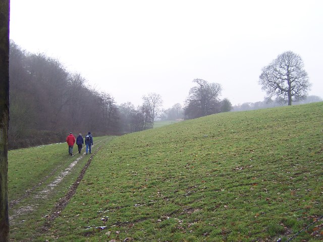
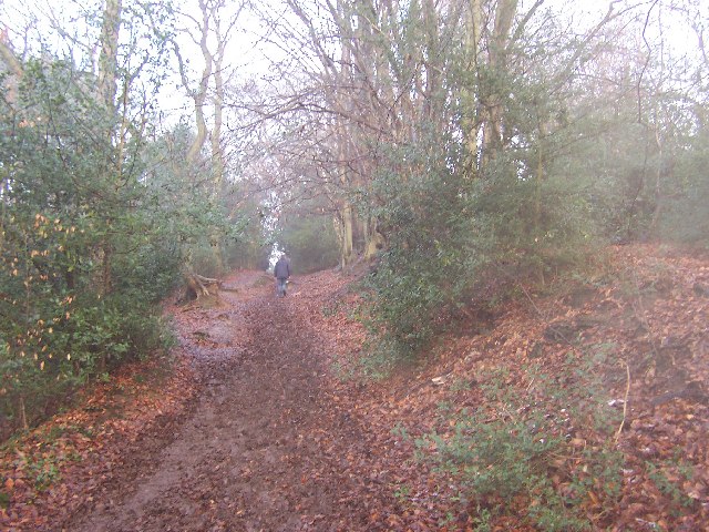
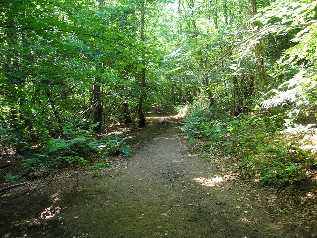
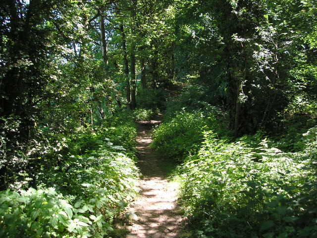
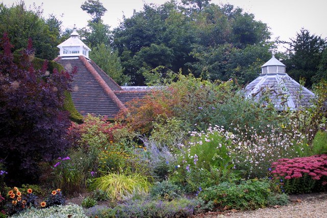
Spring Shaw, Kent is a picturesque woodland located in the county of Kent, England. Spread over a vast area, this woodland is known for its stunning natural beauty and tranquil atmosphere. The forest is primarily made up of deciduous trees, including oak, beech, and birch, which create a dense canopy overhead, providing shade and shelter for the diverse range of flora and fauna that call this woodland home.
The forest floor is covered in a thick carpet of moss, ferns, and wildflowers, adding to the enchanting atmosphere of the area. Walking through Spring Shaw, one can hear the melodious chirping of birds and the rustling of leaves, providing a sense of serenity and solace.
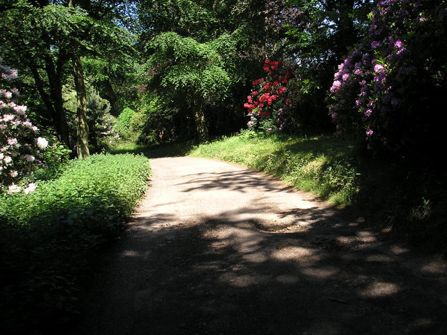
The woodland is crisscrossed by a network of well-maintained footpaths and trails, making it a popular destination for hikers, nature enthusiasts, and families looking to enjoy a peaceful day out in nature. Along these trails, visitors can spot various wildlife, including squirrels, deer, and a multitude of bird species.
Spring Shaw is also known for its springtime beauty, when the forest comes alive with vibrant blooms of bluebells, daffodils, and primroses. Visitors flock to witness this breathtaking display of colors, creating a truly magical experience.
In addition to its natural beauty, Spring Shaw offers various amenities to ensure a comfortable visit. There are picnic areas, benches, and information boards along the trails, providing visitors with the opportunity to relax and learn about the woodland's history and conservation efforts.
Overall, Spring Shaw, Kent is a captivating woodland that offers a serene escape from the hustle and bustle of everyday life, providing visitors with a chance to reconnect with nature and enjoy the stunning beauty of the English countryside.
If you have any feedback on the listing, please let us know in the comments section below.
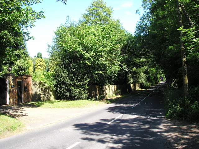
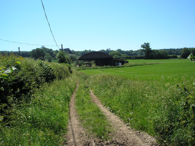
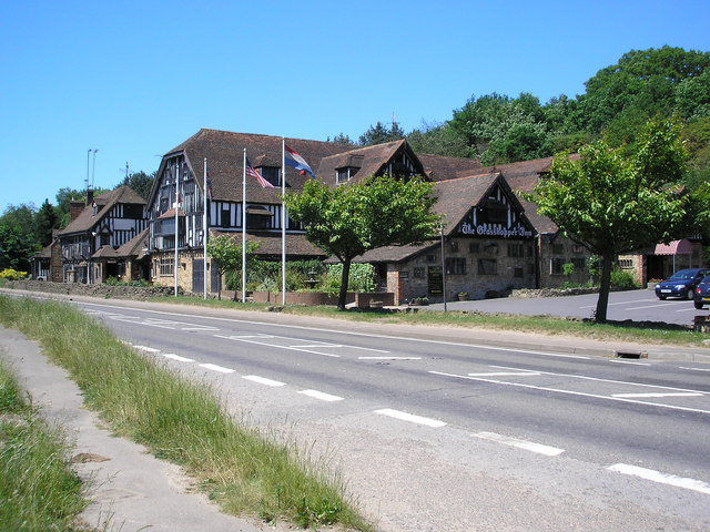
Spring Shaw Images
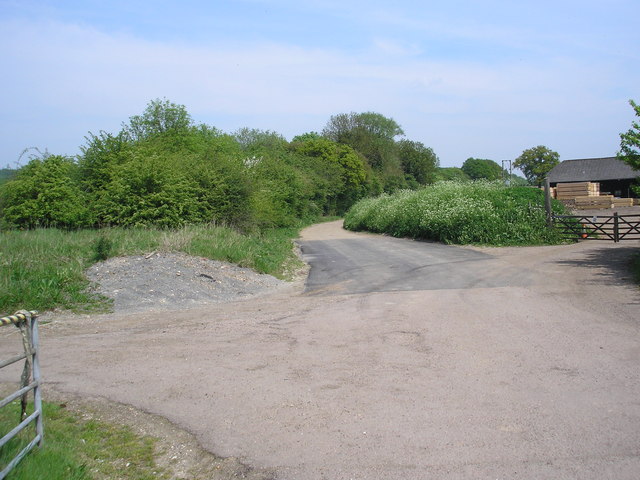
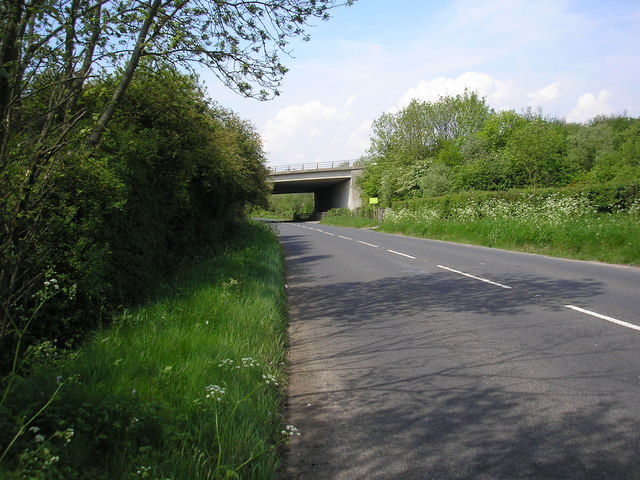
Images are sourced within 2km of 51.261778/0.071531017 or Grid Reference TQ4453. Thanks to Geograph Open Source API. All images are credited.

Spring Shaw is located at Grid Ref: TQ4453 (Lat: 51.261778, Lng: 0.071531017)
Administrative County: Kent
District: Sevenoaks
Police Authority: Kent
What 3 Words
///shift.fence.trunk. Near Westerham, Kent
Nearby Locations
Related Wikis

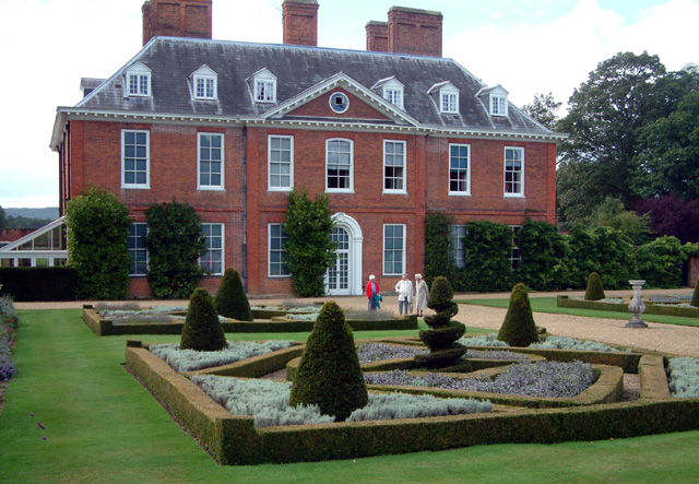
Squerryes Estate
Squerryes Estate is a vineyard, estate, and location of Squerryes Court, a grade I listed building in Kent, England. It is a producer of English sparkling...

Squerryes Court
Squerryes Court is a late 17th-century manor house that stands just outside the town of Westerham in Kent. The house, which has been held by the same family...

Quebec House
Quebec House is the birthplace of General James Wolfe on what is now known as Quebec Square in Westerham, Kent, England. The house is listed Grade I on...
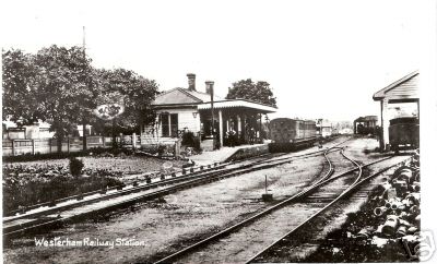
Westerham railway station
Westerham railway station served the village of Westerham in Kent from 1881 until its closure in 1961. == History == No railway was ever constructed all...

Westerham Mines
Westerham Mines is a 25.4-hectare (63-acre) biological Site of Special Scientific Interest south of Westerham in Kent.The main interest of this site lies...

Westerham
Westerham is a town and civil parish in the Sevenoaks District of Kent, England. It is located 3.4 miles east of Oxted and 6 miles west of Sevenoaks, adjacent...

Westerham Wood
Westerham Wood is a 43.2 hectares (107 acres) biological Site of Special Scientific Interest north of Westerham in Kent.This ancient oak wood on Gault...

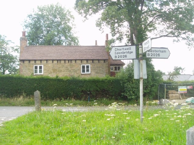
Chartwell
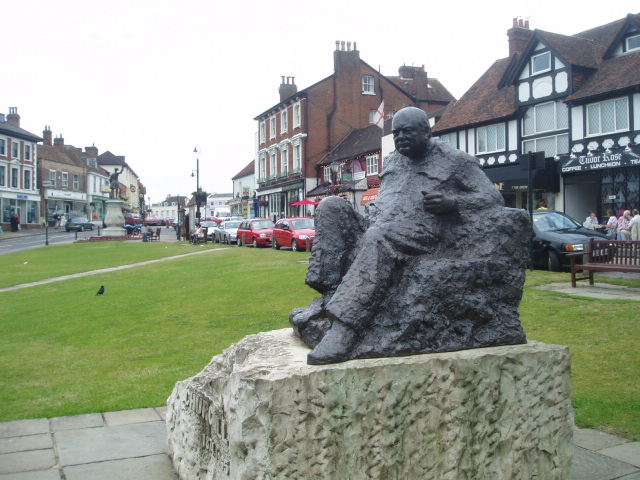
Chartwell is a country house near Westerham, Kent, in South East England. For over forty years it was the home of Sir Winston Churchill. He bought the...
Nearby Amenities
Located within 500m of 51.261778,0.071531017Have you been to Spring Shaw?
Leave your review of Spring Shaw below (or comments, questions and feedback).