Arbury Orchard
Wood, Forest in Cambridgeshire South Cambridgeshire
England
Arbury Orchard
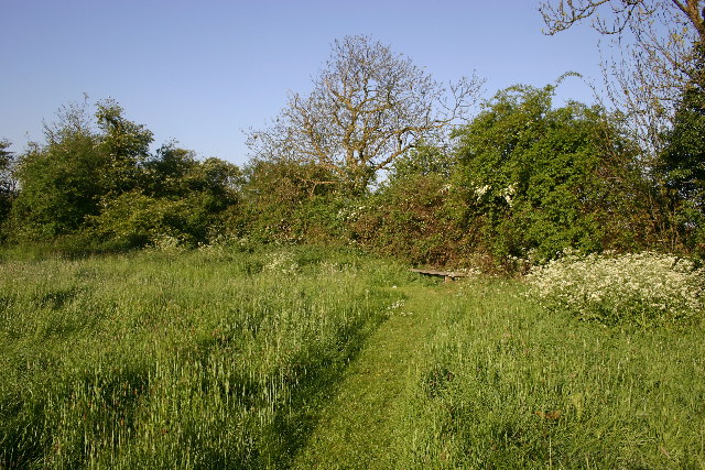
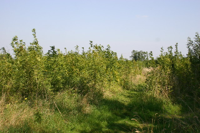
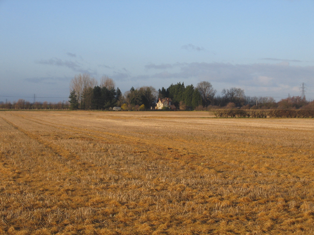
Arbury Orchard is a picturesque woodland located in Cambridgeshire, England. Spanning across a vast area, it is a haven for nature enthusiasts and those seeking tranquility amidst the bustling city life. The orchard is situated in the Arbury Estate, a historic area that has been preserved for its natural beauty.
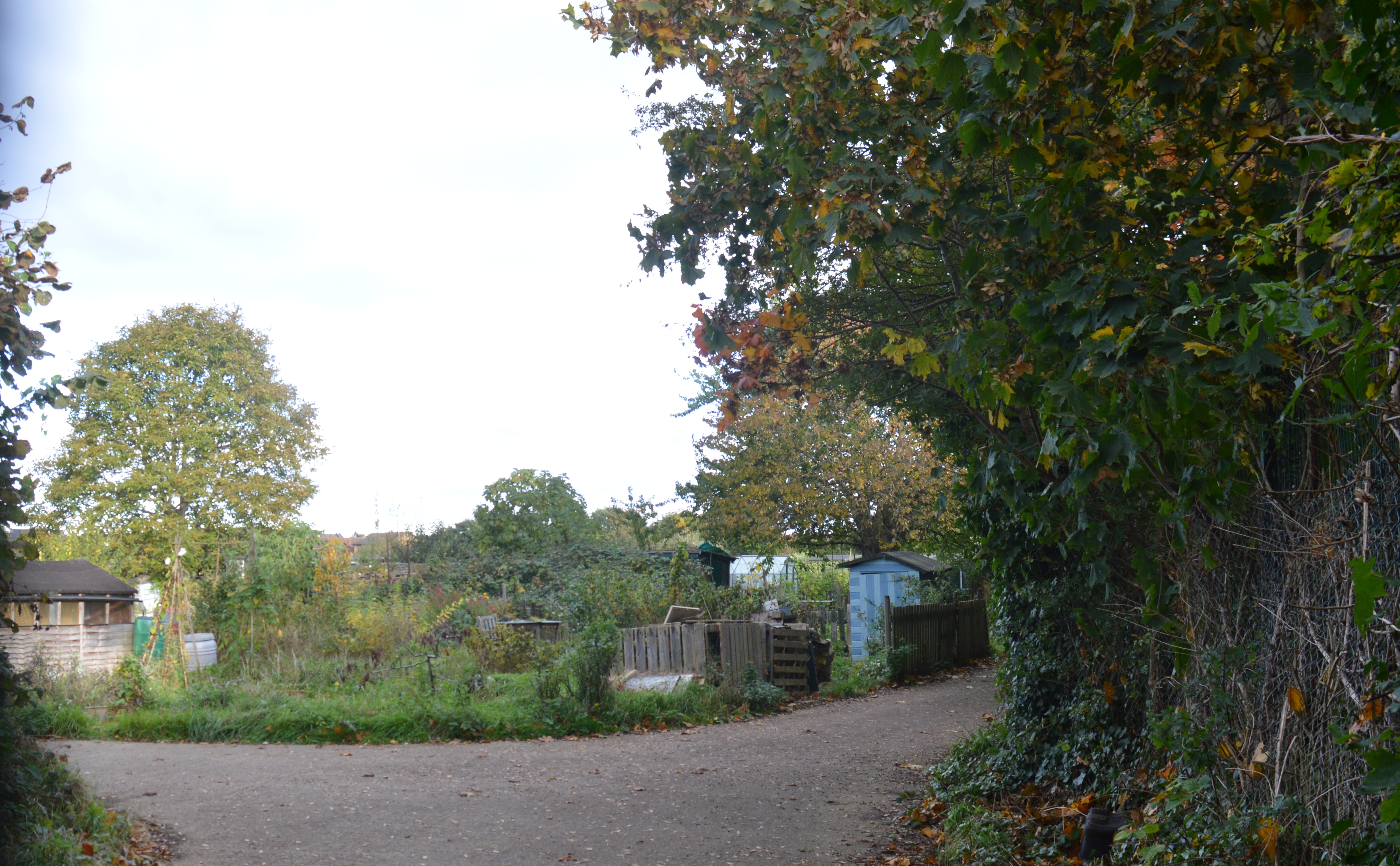
The woodland is characterized by its diverse and lush flora, with a variety of trees such as oak, birch, and beech dominating the landscape. The dense forest canopy provides ample shade, making it an ideal spot for a leisurely stroll or a peaceful picnic. The forest floor is carpeted with a rich tapestry of wildflowers, creating a vibrant and colorful display during the spring and summer months.
Arbury Orchard is also home to a plethora of wildlife, including deer, foxes, and a wide array of bird species. Birdwatchers will delight in the opportunity to spot rare species such as the great spotted woodpecker and the tawny owl.
The woodland is well-maintained, with clearly marked trails that guide visitors through its enchanting paths. These trails offer an opportunity to explore the orchard's hidden treasures, from ancient trees to babbling brooks that meander through the forest.
In addition to its natural beauty, Arbury Orchard also holds historical significance. It is believed to have once been part of a medieval deer park and retains remnants of its past, including old boundary walls and ancient oaks that have weathered the test of time.
Overall, Arbury Orchard is a captivating woodland that offers a respite from the hustle and bustle of everyday life. Its lush vegetation, diverse wildlife, and historical charm make it a must-visit destination for nature lovers and history enthusiasts alike.
If you have any feedback on the listing, please let us know in the comments section below.
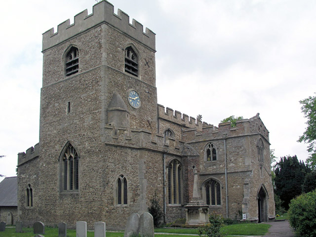
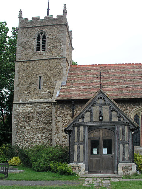
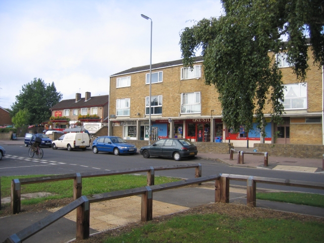
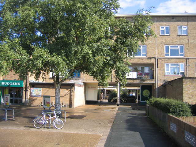
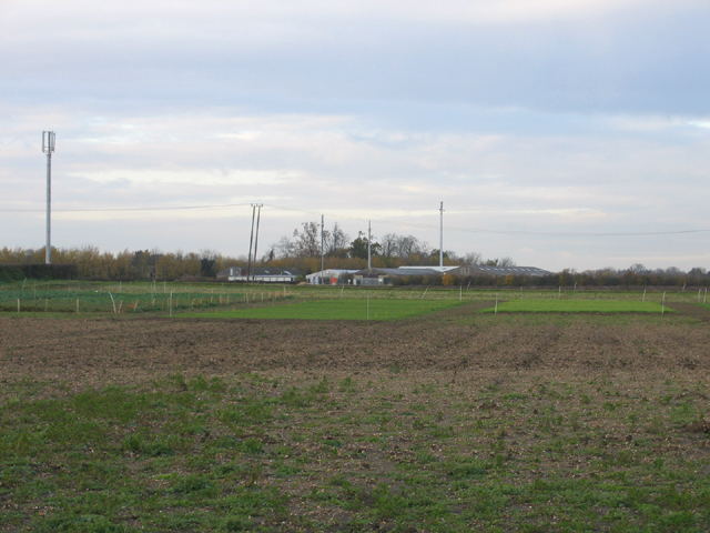
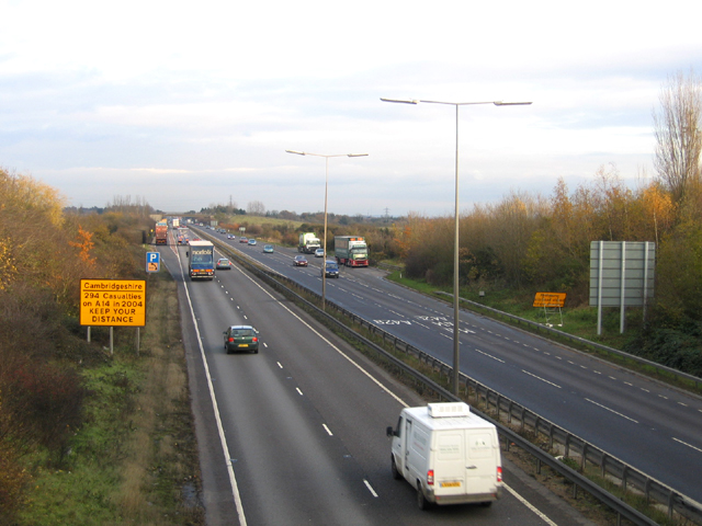
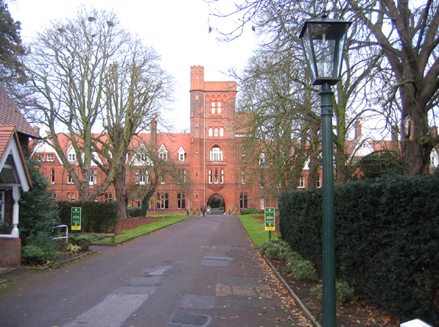
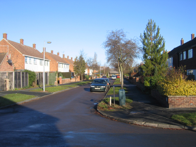
Arbury Orchard Images
Images are sourced within 2km of 52.233213/0.10913926 or Grid Reference TL4461. Thanks to Geograph Open Source API. All images are credited.

Arbury Orchard is located at Grid Ref: TL4461 (Lat: 52.233213, Lng: 0.10913926)
Administrative County: Cambridgeshire
District: South Cambridgeshire
Police Authority: Cambridgeshire
What 3 Words
///neon.salt.study. Near Girton, Cambridgeshire
Nearby Locations
Related Wikis
Histon Road SSSI
Histon Road is a 0.6-hectare (1.5-acre) geological Site of Special Scientific Interest in Cambridge. It is a Geological Conservation Review site.Histon...

Orchard Park, Cambridgeshire
Orchard Park, previously known as Premier Park and before that Arbury Park, is a district and civil parish of South Cambridgeshire, England, contiguous...

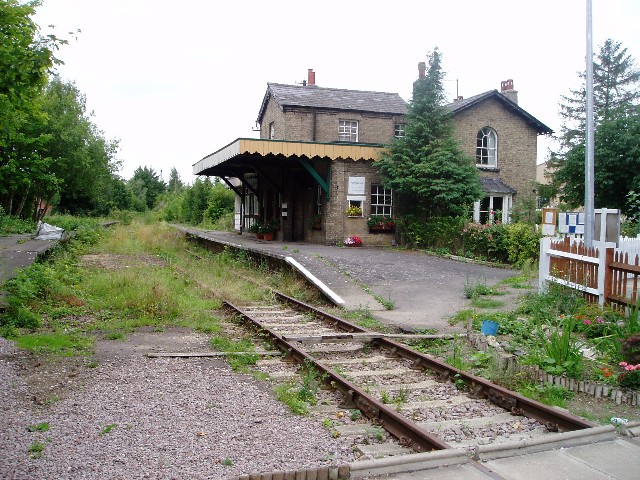
Histon railway station
Histon railway station is a disused railway station in Impington, Cambridgeshire on the Cambridge–St Ives branch of the Great Eastern Railway. The station...

Bridge Road (Impington)
Bridge Road, also known as the Glassworld Stadium for sponsorship purposes, is a football stadium in Impington, a small village connected to Histon in...
Cambridge City F.C.
Cambridge City Football Club is a football club based in Cambridgeshire, England, who currently play in the Northern Premier League Division One Midlands...
Histon F.C.
Histon Football Club is a football club based in the village of Histon, Cambridgeshire, England. The club are currently members of the United Counties...

Arbury
Arbury is a suburb and electoral ward of the city of Cambridge, England. Located in the north of the city, the ward borders the following other wards...
Crop Science Centre
The Crop Science Centre (informally known as 3CS during its planning) is an alliance between the University of Cambridge and National Institute of Agricultural...
Nearby Amenities
Located within 500m of 52.233213,0.10913926Have you been to Arbury Orchard?
Leave your review of Arbury Orchard below (or comments, questions and feedback).