Roundabout Wood
Wood, Forest in Kent
England
Roundabout Wood
Roundabout Wood is a picturesque forest located in the county of Kent, England. Spread over an area of approximately 100 acres, it is a popular destination amongst nature enthusiasts and outdoor lovers. The wood is situated near the village of Roundabout, which is known for its quaint charm and historical significance.
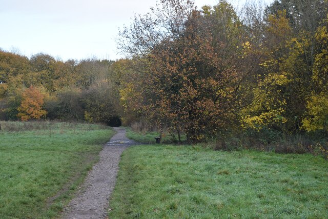
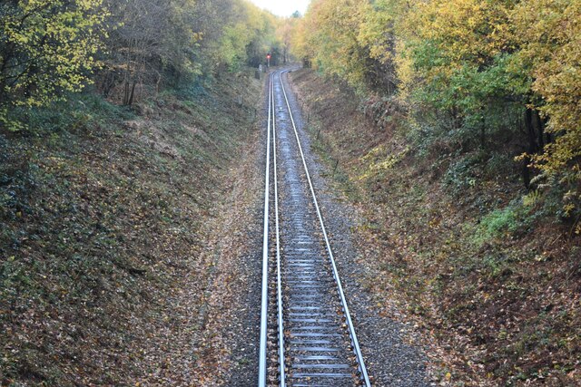
The wood is characterized by a diverse range of tree species, including oak, beech, ash, and birch. These tall, majestic trees create a dense canopy that provides shade and shelter to an array of wildlife species. Visitors to Roundabout Wood can expect to encounter various woodland creatures such as deer, foxes, squirrels, and a wide variety of bird species.
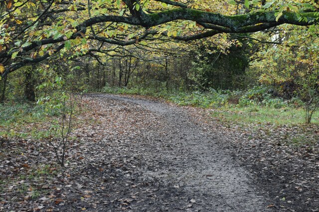
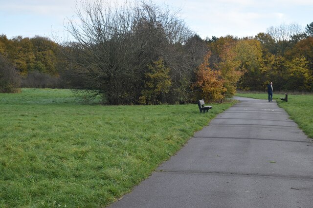
Traversing through the wood, visitors can explore a network of well-maintained walking trails that wind their way through the lush greenery. These paths offer a peaceful and serene environment, perfect for a leisurely stroll or a rejuvenating hike. The wood also features a small stream that adds to its natural beauty and provides a tranquil ambiance.
Roundabout Wood is known for its vibrant displays of wildflowers during the spring and summer months. Bluebells, primroses, and daffodils carpet the forest floor, creating a breathtaking sight and attracting numerous photography enthusiasts.
The wood is easily accessible, with ample parking facilities and well-marked entrances. It is open to the public throughout the year, allowing visitors to enjoy its natural beauty in all seasons. With its idyllic setting and diverse flora and fauna, Roundabout Wood offers a delightful escape into nature for locals and tourists alike.
If you have any feedback on the listing, please let us know in the comments section below.
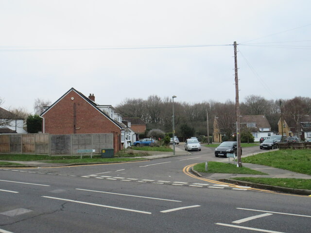
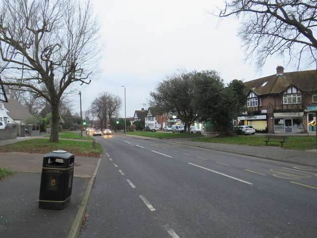
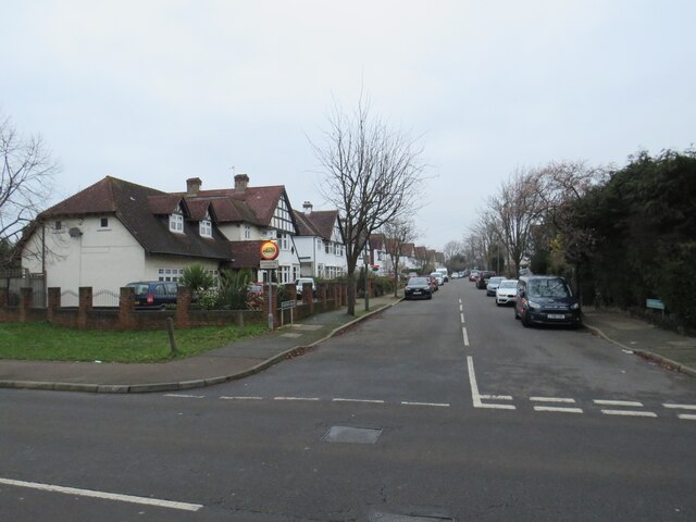
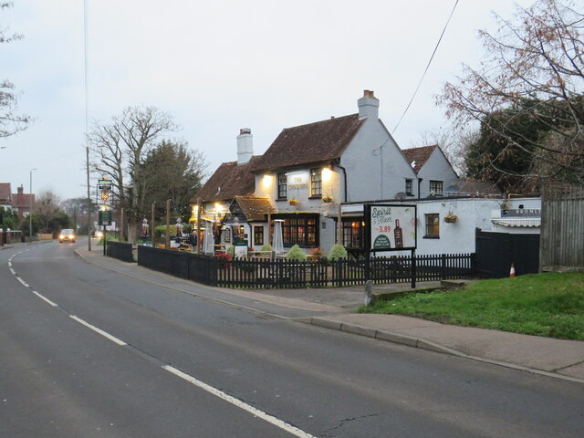
Roundabout Wood Images
Images are sourced within 2km of 51.379117/0.068604916 or Grid Reference TQ4466. Thanks to Geograph Open Source API. All images are credited.


Roundabout Wood is located at Grid Ref: TQ4466 (Lat: 51.379117, Lng: 0.068604916)
Unitary Authority: Bromley
Police Authority: Metropolitan
What 3 Words
///noble.riding.sheets. Near Orpington, London
Nearby Locations
Related Wikis

Crofton Wood
Crofton Wood or Crofton Woods is a Site of Special Scientific Interest and Site of Metropolitan Importance for Nature Conservation in Crofton in the London...
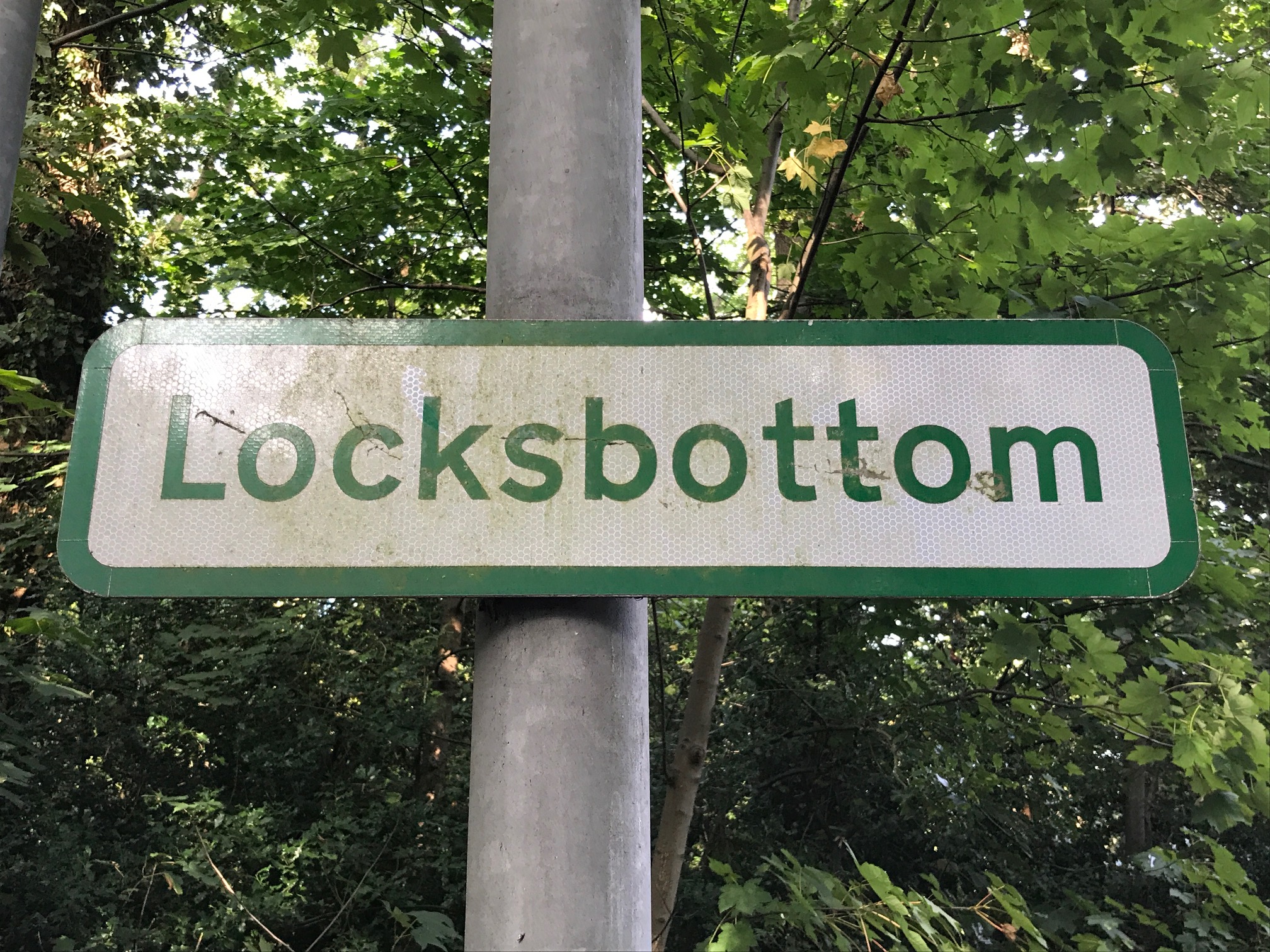
Locksbottom
Locksbottom is a suburb of south-east London within the London Borough of Bromley, Greater London. Prior to 1965 it was within the historic county of Kent...

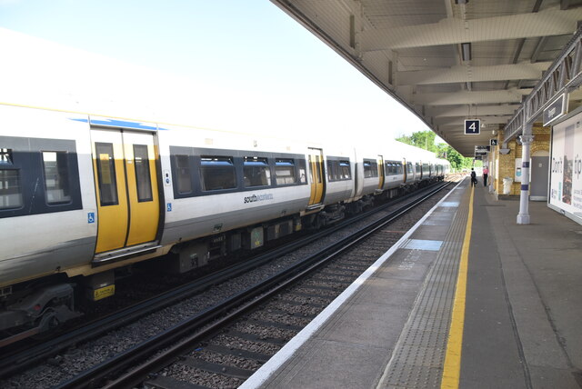
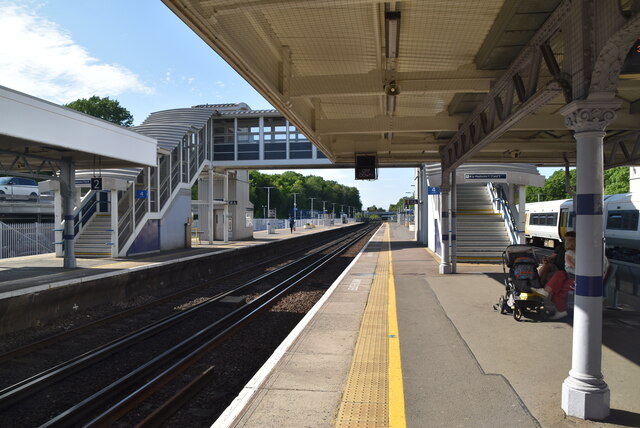
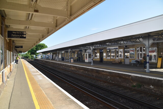
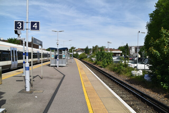
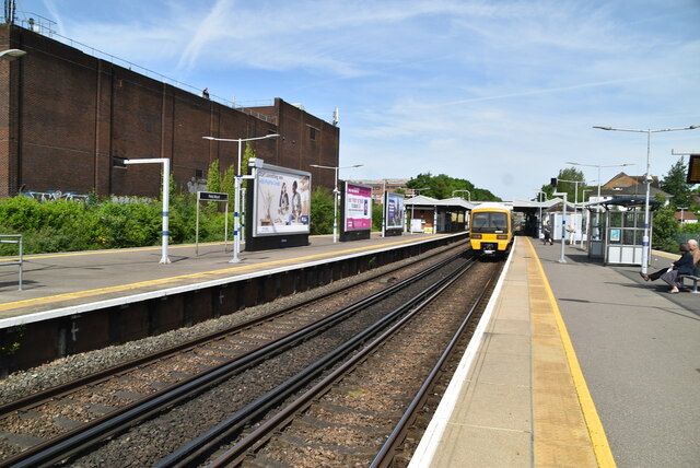
Petts Wood railway station
Petts Wood railway station is on the South Eastern Main Line, serving Petts Wood in the London Borough of Bromley, south-eastern Greater London. It is...
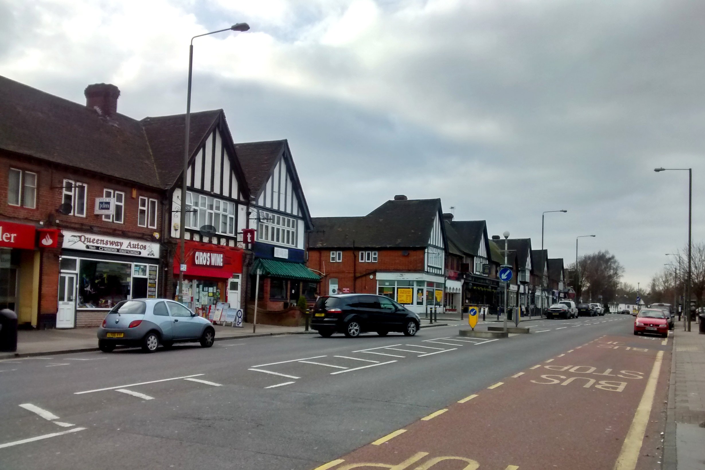
Petts Wood
Petts Wood is a town in south-east London, England, previously located in the historic county of Kent. It lies south of Chislehurst, west of St Paul's...
Related Videos
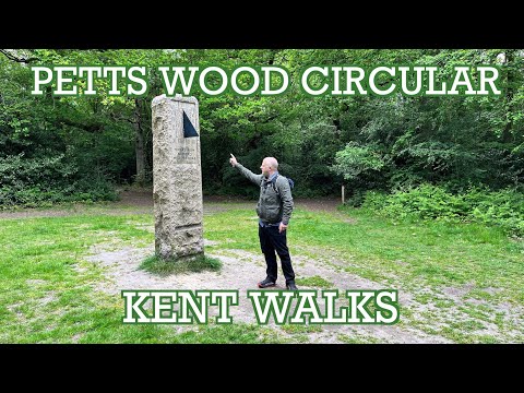
Petts Wood Circular Walk | Kent Walks | Cool Dudes Walking Club
swcwalks #swcwalk309 A 7.5-mile circular walk from Petts Wood, just outside of London taking in Scadbury Manor, Chislehurst ...
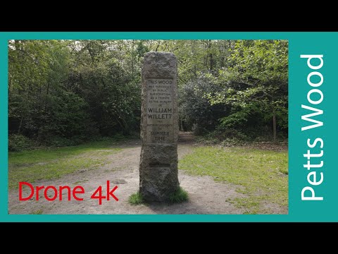
Petts Wood Circular walk | Drone 4K | Hiking In London | Sunday Walk | Hiking in uk for beginners
Easy and pleasant walk through woodlands nestled in the middle of London's South-Eastern suburbs Length 12 km (8 m) His is ...

Ivan Strelets - High Elms Driving And Walking (Original Music Video)
Jump into the driver's seat for a scenic sunny autumn day drive and walk through the lush High Elms countryside in Orpington, ...

Nature recharges minds 😌 #nature#mentalhealth #walking #woods
Within 20 miles of London, this oasis of peaceful woods is the perfect way to cool off from the summer heat. Really good ...
Nearby Amenities
Located within 500m of 51.379117,0.068604916Have you been to Roundabout Wood?
Leave your review of Roundabout Wood below (or comments, questions and feedback).