Aston

Settlement in Herefordshire

England

Aston

Roadside grassland, Eyton Probably a narrow common, but not marked as "access" land on the 1:25,000 map. This is a strip of grassland and wetland willow woods alongside a minor road.
Roadside grassland, Eyton Credit: Richard Webb

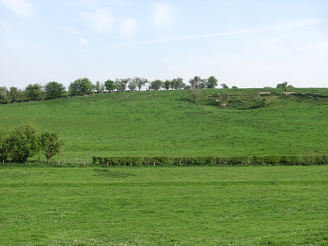
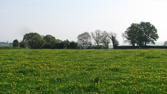
Aston is a picturesque village situated in the county of Herefordshire, England. It is located just 5 miles southwest of the market town of Leominster. Nestled in the Herefordshire countryside, Aston is surrounded by rolling green hills and offers stunning views of the rural landscape.

The village itself is small and charming, with a population of around 500 residents. It boasts a traditional English village atmosphere, with well-preserved historic buildings and a tranquil ambiance. The architecture in Aston reflects its rich history, with several timber-framed houses dating back to the 16th and 17th centuries.

One of the highlights of Aston is its beautiful parish church, St. Giles. This Grade I listed building is renowned for its Norman origins and impressive medieval features, including a 14th-century tower. The church is a focal point for the community and holds regular services and events throughout the year.

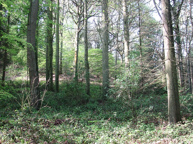
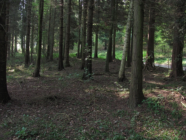
Aston is also a great starting point for exploring the surrounding countryside. The village is situated near the border of Wales, offering easy access to the stunning Brecon Beacons National Park. Here, visitors can enjoy hiking, cycling, and breathtaking views of the Welsh mountains.

Overall, Aston, Herefordshire, offers a peaceful and idyllic setting, perfect for those seeking a rural retreat and a taste of traditional English village life.

If you have any feedback on the listing, please let us know in the comments section below.
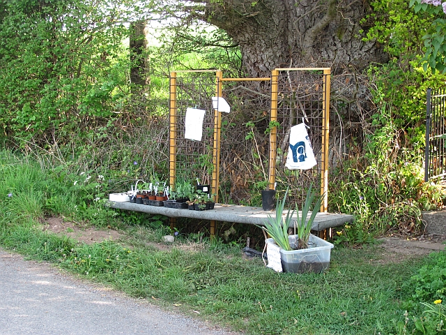
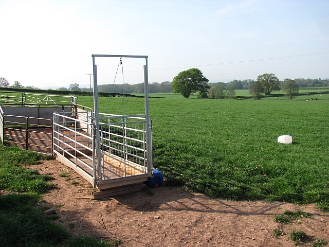
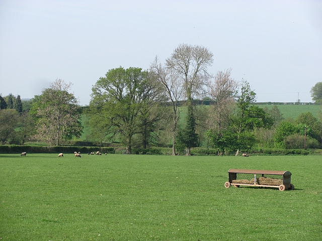
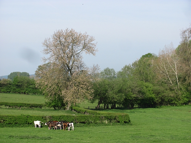
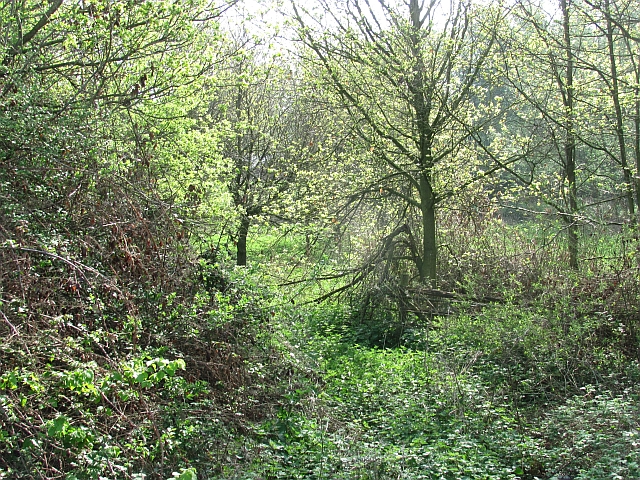
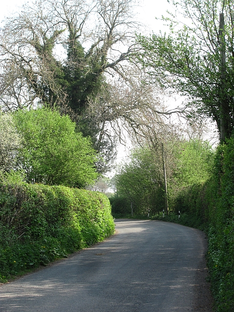
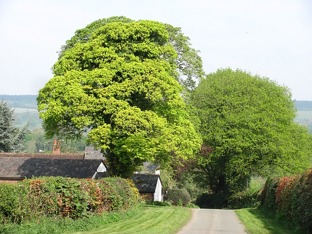
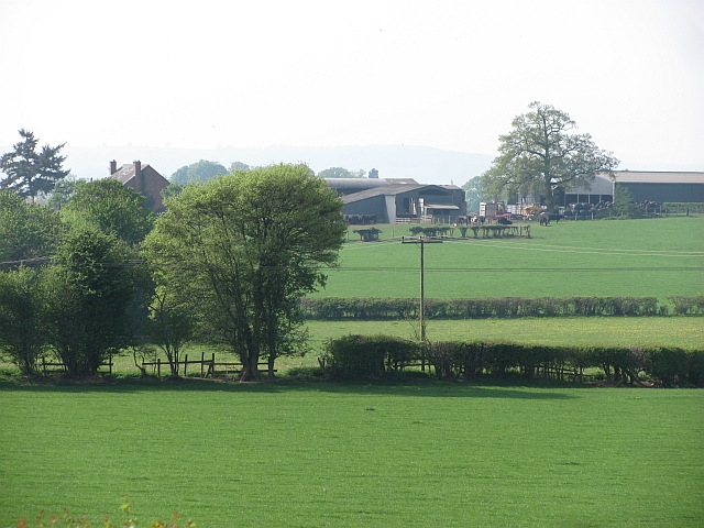
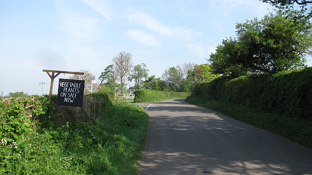
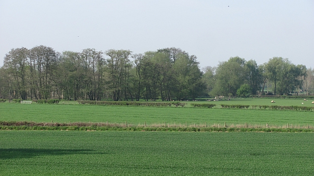
Aston Images

Images are sourced within 2km of 52.25956/-2.7938544 or Grid Reference SO4562. Thanks to Geograph Open Source API. All images are credited.

Roadside grassland, Eyton Probably a narrow common, but not marked as "access" land on the 1:25,000 map. This is a strip of grassland and wetland willow woods alongside a minor road.
Roadside grassland, Eyton
Probably a narrow common, but not marked as "access" land on the 1:25,000 map. This is a strip of grassland and wetland willow woods alongside a minor road.
Plant stall Roadside stalls selling things like eggs, manure, firewood and here plants are very common around Leominster. This was the fifth that I passed since Luston.
Plant stall
Roadside stalls selling things like eggs, manure, firewood and here plants are very common around Leominster. This was the fifth that I passed since Luston.
Gathering pens, Aston (Eyton) Sheep handling equipment in a field of sheep.
Gathering pens, Aston (Eyton)
Sheep handling equipment in a field of sheep.
Pasture near Halford Hall Field with ewes and lambs.
Pasture near Halford Hall
Field with ewes and lambs.
Calves near Basket's Gate There are still small fields in the drumlin country near Yarpole.
Calves near Basket's Gate
There are still small fields in the drumlin country near Yarpole.
Drumlin near Yarpole One of a series of regular hills left behind by a retreating glacier between Shobdon and Luston.
Drumlin near Yarpole
One of a series of regular hills left behind by a retreating glacier between Shobdon and Luston.
Oaker Wood Mature woodland near Yarpole.  Home to a team building and adventure company.
Oaker Wood
Mature woodland near Yarpole. Home to a team building and adventure company.
Oaker Wood Mature mixed woodland near Yarpole. Home to an adventure and team building company.
Oaker Wood
Mature mixed woodland near Yarpole. Home to an adventure and team building company.
Farmland near Yarpole Dandelions in a green field south of Yarpole.
Farmland near Yarpole
Dandelions in a green field south of Yarpole.
Woodland, Bicton A young wood between some buildings and the road to Kingsland. This used to be a field and a gate remains, almost hidden by vegetation.
Woodland, Bicton
A young wood between some buildings and the road to Kingsland. This used to be a field and a gate remains, almost hidden by vegetation.
Yarpole to Kingsland road View in the direction of Yarpole.
Yarpole to Kingsland road
View in the direction of Yarpole.
Minor road near Bicton Looking downhill towards Bicton with a distant view of the great limestone ridge which begins as Wenlock Edge and carries on across northern Herefordshire.
Minor road near Bicton
Looking downhill towards Bicton with a distant view of the great limestone ridge which begins as Wenlock Edge and carries on across northern Herefordshire.
Farmland, The Riddle
Fir  Coppice A stile beside a small wood.
Fir Coppice
A stile beside a small wood.
Dunprowlin Cat wandering past the back of a house near Luston.
Dunprowlin
Cat wandering past the back of a house near Luston.
Minor road, Eyton
Minor road, Eyton
Roadside sign, Eyton Advertising a stall selling vegetable seedlings.
Roadside sign, Eyton
Advertising a stall selling vegetable seedlings.
Lugg flood plain Mixed farmland and alder woods.
Lugg flood plain
Mixed farmland and alder woods.
Show me another place!

Aston is located at Grid Ref: SO4562 (Lat: 52.25956, Lng: -2.7938544)

Unitary Authority: County of Herefordshire

Police Authority: West Mercia

What 3 Words

///postings.parrot.crabmeat. Near Kingsland, Herefordshire

Nearby Locations

Aston

Related Wikis

Bicton, Herefordshire

Bicton is a hamlet in the Croft and Yarpole parish in Herefordshire, England. It is on a crossroads south of Yarpole and north-east of Kingsland.

Kingsland, Herefordshire

Kingsland is a small village and civil parish in the English county of Herefordshire, 5 kilometres (3 mi) north-west of Leominster. The population of the...

Eyton, Herefordshire

Eyton ( AY-tən) is a village and parish in Herefordshire, England. It is 2 miles (3 km) north west of Leominster and 15 miles (24 km) north of Hereford...

Kingsland railway station (England)

Kingsland railway station was a station in Kingsland, Herefordshire, England. The station was opened in 1856, closed to passengers in 1955 and closed completely...

Nearby Amenities

Located within 500m of 52.25956,-2.7938544
Generator Method: photovoltaic
Generator Output Electricity: yes
Generator Source: solar
Generator Type: solar_photovoltaic_panel
Location: roof
Power: generator
Lat/Long: 52.2599676/-2.7929789
Barrier: stile
Lat/Long: 52.2580946/-2.7987813
Ford: yes
Lat/Long: 52.2585306/-2.7945498
Post Box
Lat/Long: 52.2575852/-2.7882682
The data included in this document is from www.openstreetmap.org. The data is made available under ODbL.

Have you been to Aston?

Leave your review of Aston below (or comments, questions and feedback).