Home Wood
Wood, Forest in Hertfordshire East Hertfordshire
England
Home Wood

Home Wood is a picturesque forest located in Hertfordshire, England. Spanning over a vast area, it is a popular destination for nature enthusiasts and locals alike. The wood is characterized by its dense foliage and diverse flora and fauna, making it an ideal spot for outdoor activities and wildlife observation.
The wood is home to a wide variety of tree species, including oak, beech, birch, and pine, creating a rich and vibrant environment. Walking trails wind their way through the forest, providing visitors with the opportunity to explore its natural beauty and discover hidden gems along the way. The tranquil atmosphere and peaceful ambiance make Home Wood a perfect retreat for those seeking solace in nature.
Wildlife thrives in the wood, with numerous bird species, such as woodpeckers, song thrushes, and owls, making their homes among the treetops. Squirrels, rabbits, and foxes can often be spotted scurrying through the undergrowth, adding to the enchantment of the wood.
Home Wood is also known for its historical significance. It has been a part of the local landscape for centuries and was once used as a hunting ground by the nobility. Remnants of old hunting lodges and ancient trees can still be found scattered throughout the forest, serving as a reminder of its storied past.
Overall, Home Wood is a captivating destination that offers a blend of natural beauty, wildlife, and historical charm. Whether it's a leisurely stroll, birdwatching, or simply immersing oneself in nature, this forest provides a truly immersive experience for visitors of all ages.
If you have any feedback on the listing, please let us know in the comments section below.
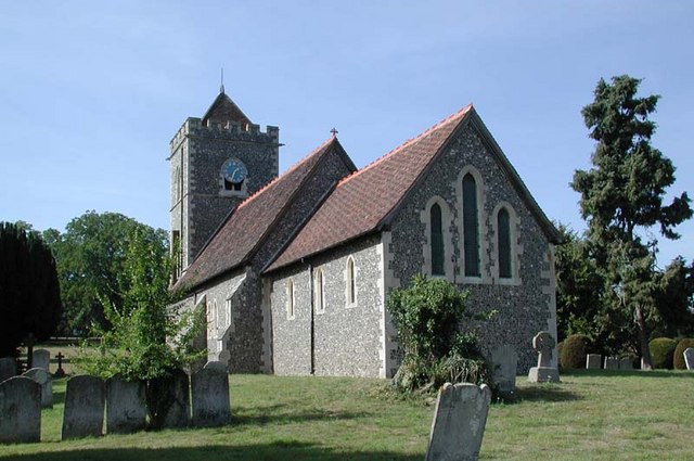
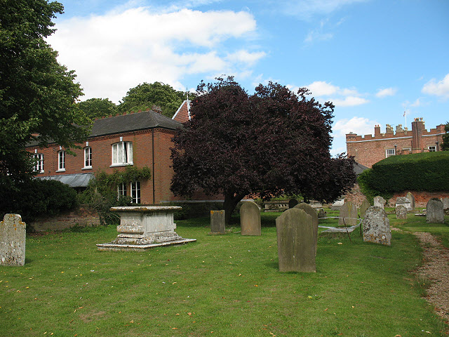
Home Wood Images
Images are sourced within 2km of 51.796253/0.081202462 or Grid Reference TL4312. Thanks to Geograph Open Source API. All images are credited.


Home Wood is located at Grid Ref: TL4312 (Lat: 51.796253, Lng: 0.081202462)
Administrative County: Hertfordshire
District: East Hertfordshire
Police Authority: Hertfordshire
What 3 Words
///emerge.keys.chart. Near Harlow, Essex
Nearby Locations
Related Wikis

Gilston Park
Gilston Park is a Grade II* listed country house in Gilston, Hertfordshire, England. It was designed by Philip Hardwick for John Hodgson around 1852....
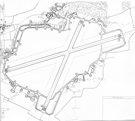
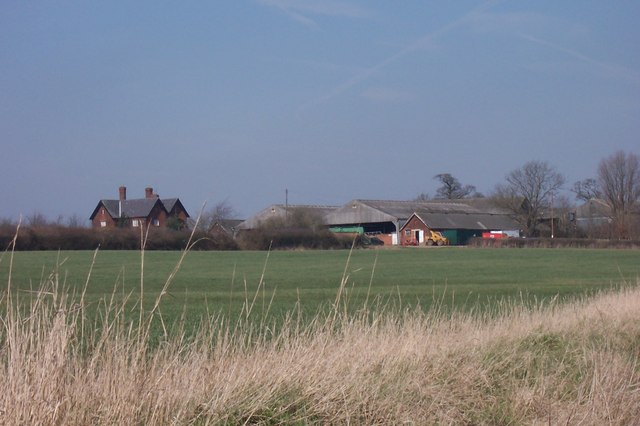
Hunsdon Airfield
Hunsdon Airfield is an airfield near Hunsdon, Hertfordshire and 2.8 miles (4.5 km) north of Harlow, Essex, England. As of 2021, it is used by a local microlight...
Eastwick, Hertfordshire
Eastwick is a village and civil parish 7 miles (11 km) east of Hertford, in the East Hertfordshire district, in the county of Hertfordshire, England. In...

Catuvellauni
The Catuvellauni (Common Brittonic: *Catu-wellaunī, "war-chiefs") were a Celtic tribe or state of southeastern Britain before the Roman conquest, attested...

Gilston
Gilston is a village and civil parish in the East Hertfordshire district of Hertfordshire, England. It is located a little over one mile north of the town...
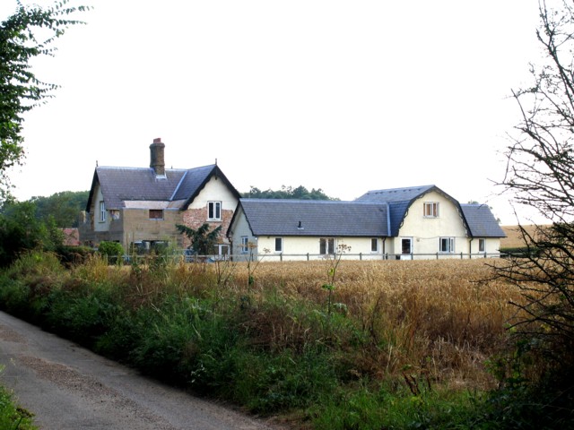
Hunsdon House
Hunsdon House is a historic house in Hunsdon, Hertfordshire, England, northwest of Harlow. Originally constructed in the 15th century, it was most notably...

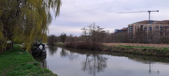
Stort Navigation
The Stort Navigation is the canalised section of the River Stort running 22 kilometres (14 mi) from the town of Bishop's Stortford, Hertfordshire, downstream...
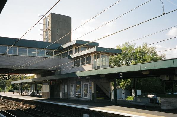
Harlow Town railway station
Harlow Town railway station is on the West Anglia Main Line serving the town of Harlow in Essex, England. It is 22 miles 59 chains (36.6 km) down the line...
Nearby Amenities
Located within 500m of 51.796253,0.081202462Have you been to Home Wood?
Leave your review of Home Wood below (or comments, questions and feedback).