Orange Wood

Wood, Forest in Essex Epping Forest

England

Orange Wood

Farmland near Epping Taken near to Bury farm, looking across farmland towards a small valley.
Farmland near Epping Credit: Andrew Dann

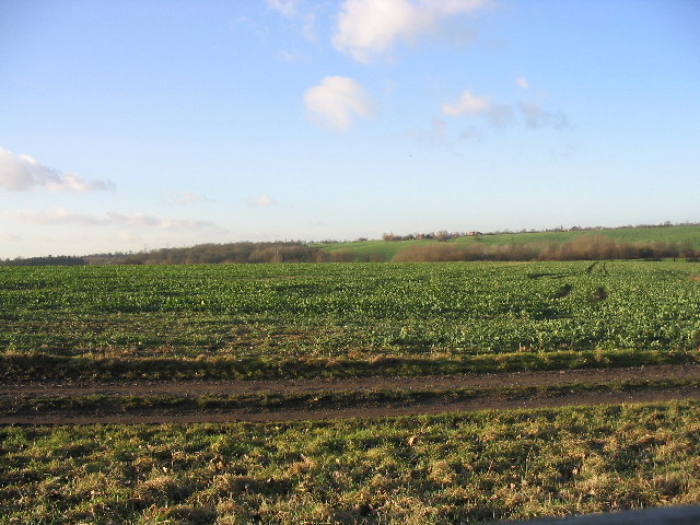
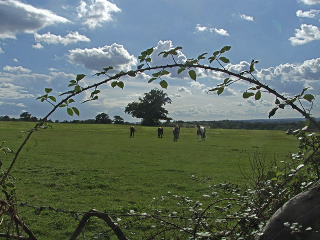
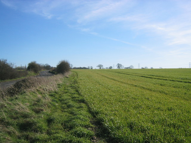
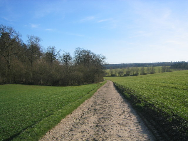
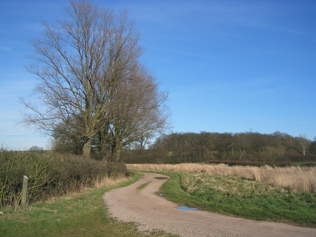
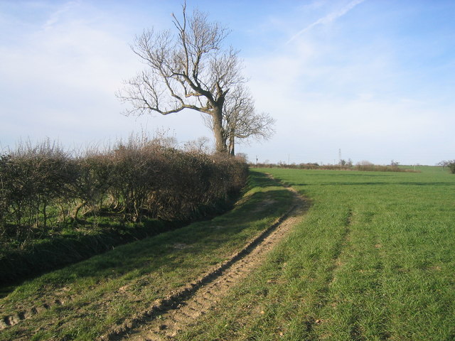
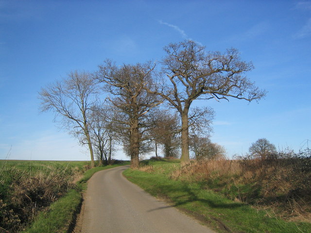
Orange Wood is a small forest located in the county of Essex, in the southeastern part of England. It covers an area of approximately 100 acres and is nestled between the towns of Chelmsford and Brentwood. The forest is named after the abundance of orange-colored trees that dominate its landscape, particularly during the autumn season when the leaves turn a vibrant shade of orange.

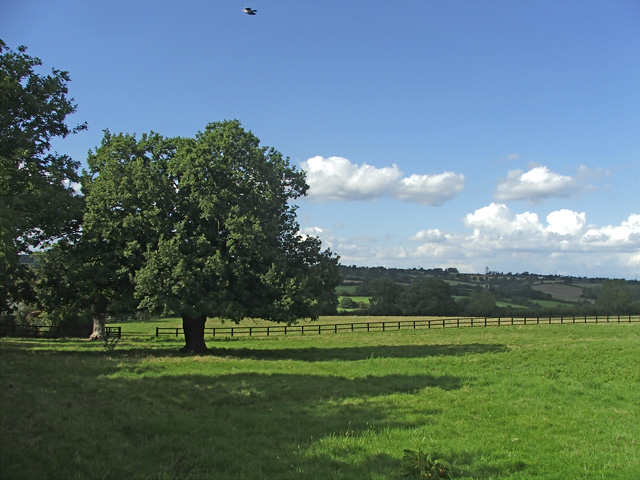
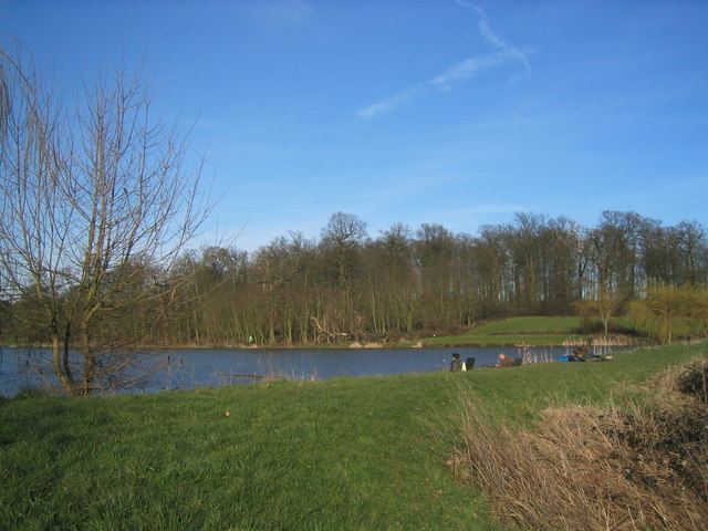
The forest is home to a diverse range of flora and fauna, making it a haven for nature enthusiasts and wildlife lovers. Among the notable tree species found in Orange Wood are oak, beech, and silver birch, which provide a dense canopy cover and create a tranquil and serene environment. The forest floor is adorned with a carpet of wildflowers and ferns, adding to its natural beauty.

Orange Wood is also home to a variety of wildlife, including deer, foxes, and numerous bird species. It offers an ideal habitat for these creatures, providing ample food sources and shelter. Birdwatchers can spot species like woodpeckers, nightingales, and tawny owls, among others.

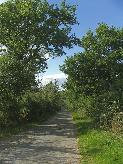
The forest is a popular destination for outdoor activities such as hiking, cycling, and picnicking. It features a network of well-maintained trails that meander through the woods, allowing visitors to explore its beauty and enjoy the peaceful surroundings. There are designated picnic areas with benches and tables, providing the perfect spot to relax and unwind.

Orange Wood is not only a natural gem but also an important ecological site, contributing to the overall biodiversity of the region. Its picturesque setting and abundant wildlife make it a cherished destination for locals and visitors alike, seeking a tranquil escape in the heart of Essex.

If you have any feedback on the listing, please let us know in the comments section below.
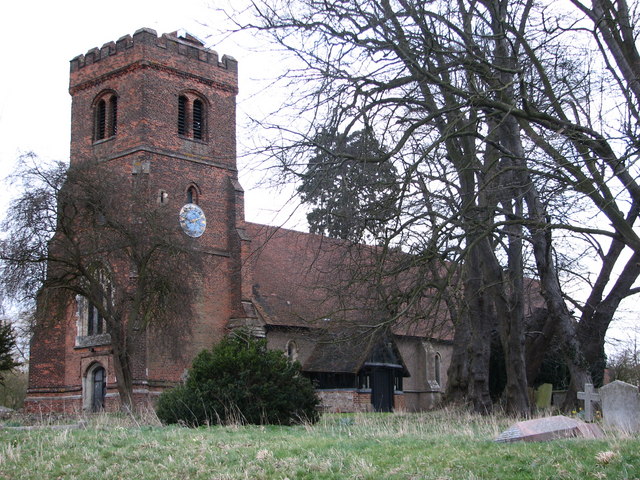
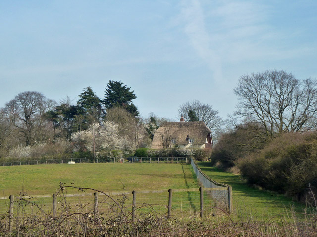
Orange Wood Images

Images are sourced within 2km of 51.71563/0.077455147 or Grid Reference TL4303. Thanks to Geograph Open Source API. All images are credited.

Farmland near Epping Taken near to Bury farm, looking across farmland towards a small valley.
Farmland near Epping
Taken near to Bury farm, looking across farmland towards a small valley.
Epping Upland A small "B" road zigzags through this hamlet and I'm sure that this is the view that most people see.  The photo was taken by the memorial gate of the churchyard and there is a manor, moat, war memorial and a rather inaccessible pond.
Epping Upland
A small "B" road zigzags through this hamlet and I'm sure that this is the view that most people see. The photo was taken by the memorial gate of the churchyard and there is a manor, moat, war memorial and a rather inaccessible pond.
Epping Green village This is the (mostly) new village of Epping Green, which seems to be getting newer all the time.  Nearby is Epping Long Green itself, older by far.
Epping Green village
This is the (mostly) new village of Epping Green, which seems to be getting newer all the time. Nearby is Epping Long Green itself, older by far.
The Cottages, Long Street, near Copthall Green
All Saints Church - Epping Upland, Essex This church dates back to Norman times, although it was largely restored in 1878.
All Saints Church - Epping Upland, Essex
This church dates back to Norman times, although it was largely restored in 1878.
'The Cock & Magpie' inn, Epping Green, Essex
Farmland, Long Street, Upshire, Essex Horses in a field in farmland, Long Street, Upshire.
Farmland, Long Street, Upshire, Essex
Horses in a field in farmland, Long Street, Upshire.
Long Street, Upshire, Essex.
Farmland, Long Street, Upshire, Essex
Field of crops, beside road from Epping. A very large field, stretching as far as the eye can see -typical of the gently rolling farmland north of Epping.
Field of crops, beside road from Epping.
A very large field, stretching as far as the eye can see -typical of the gently rolling farmland north of Epping.
Private metalled road, through field of crops This private road runs through the fields of crops and around several small woods.
Private metalled road, through field of crops
This private road runs through the fields of crops and around several small woods.
Track Z-bend Bend on the only track passing through this square.
Track Z-bend
Bend on the only track passing through this square.
The "Forest Way" path The Forest Way, a waymarked path, winds through Essex, from Epping Forest. This section is in a poor state, running beside a field of crops, just south of Parvills Farm.
The "Forest Way" path
The Forest Way, a waymarked path, winds through Essex, from Epping Forest. This section is in a poor state, running beside a field of crops, just south of Parvills Farm.
Fishermen on an artificial lake surrounded by attractive woodland Fishermen at this artificial lake, not marked on the current OS map. Geese, ducks and moorhens were all visible further up.
Fishermen on an artificial lake surrounded by attractive woodland
Fishermen at this artificial lake, not marked on the current OS map. Geese, ducks and moorhens were all visible further up.
Cluster of trees around minor road This attractive group of trees is on the minor road serving the four farms west from the Epping Upland hamlet.
Cluster of trees around minor road
This attractive group of trees is on the minor road serving the four farms west from the Epping Upland hamlet.
All Saints, Epping Upland, Essex
All Saints, Epping Upland, Essex - Doorway
Show me another place!

Orange Wood is located at Grid Ref: TL4303 (Lat: 51.71563, Lng: 0.077455147)

Administrative County: Essex

District: Epping Forest

Police Authority: Essex

What 3 Words

///notice.pipe.couple. Near Epping, Essex

Related Wikis

Epping Rural District

Epping was, from 1894 to 1955, a rural district in the administrative county of Essex, England. == Formation and boundary changes == The district was formed...

Epping Upland

Epping Upland is a village and civil parish in the Epping Forest district of Essex, England.The village is situated on the B181 road, approximately 3 miles...

Epping Green, Essex

Epping Green is a village in the civil parish of Epping Upland and Epping Forest district of Essex, England, situated on the B181 road between Epping and...

Epping St John's School

Epping St John's School, formerly known as St John's Church of England Voluntary Controlled School, is a school in Epping, Essex.Epping St. John's was...
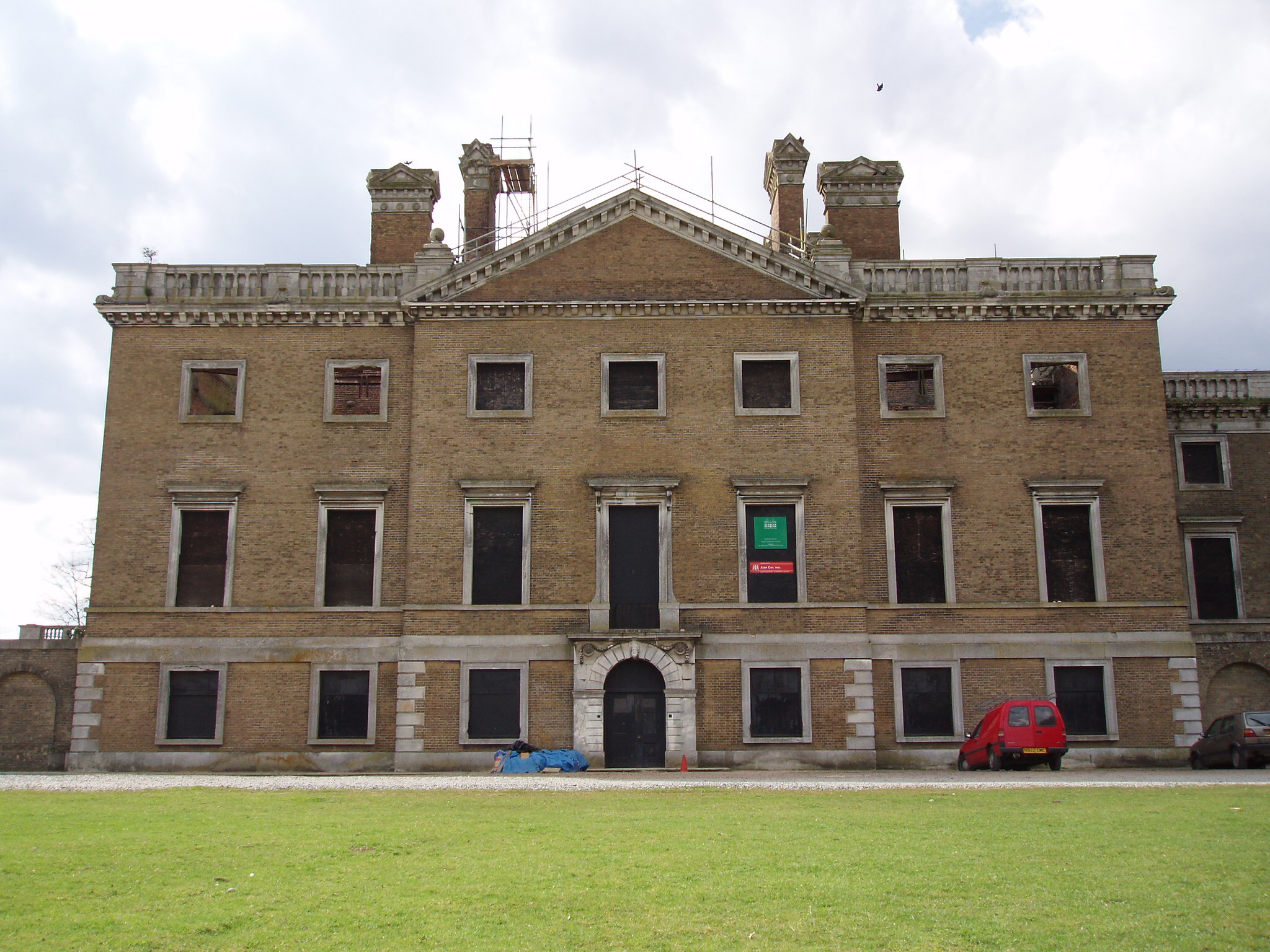
Copped Hall

Copped Hall, also known as Copt Hall or Copthall, is a mid-18th-century English country house close to Waltham Abbey, Essex, which has been undergoing...

Jacks Hatch

Jacks Hatch (also spelt Jack's Hatch), is a hamlet in the Epping Upland civil parish of the Epping Forest district of Essex, England. Jacks Hatch is 1...

Nazeing

Nazeing ( NAYZ-ing) is a village and parish in Essex, England. Within the parish are the separate settlements of Upper Nazeing, Middle Nazeing, and Lower...

Epping, Essex

Epping is a market town and civil parish in the Epping Forest District of Essex, England. Part of the metropolitan and urban area of London, it is 17 miles...

Nearby Amenities

Located within 500m of 51.71563,0.077455147
Power: tower
Lat/Long: 51.7139564/0.0770062
Power: tower
Lat/Long: 51.7123924/0.0804502
Power: tower
Lat/Long: 51.7167764/0.0719047
Power: tower
Lat/Long: 51.7152442/0.0744849
The data included in this document is from www.openstreetmap.org. The data is made available under ODbL.

Have you been to Orange Wood?

Leave your review of Orange Wood below (or comments, questions and feedback).