Ram Gorse
Wood, Forest in Essex Harlow
England
Ram Gorse
Ram Gorse is a small village located in the county of Essex, England. Situated in the northern part of the county, Ram Gorse is known for its picturesque woodland and forested areas. The village is surrounded by lush greenery, making it an idyllic location for nature enthusiasts and outdoor lovers.
The village of Ram Gorse is relatively small, with a population of approximately 500 residents. It is a close-knit community, known for its friendly and welcoming atmosphere. The village is characterized by its charming cottages and traditional English architecture, giving it a quaint and timeless feel.
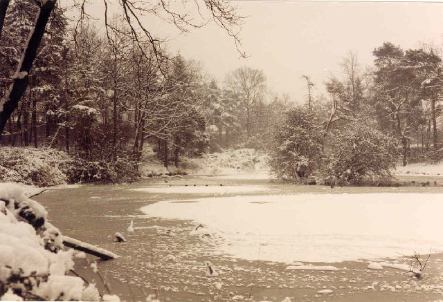
One of the main attractions of Ram Gorse is its extensive woodlands and forests. The village is situated near Epping Forest, one of the largest remaining forested areas in the region. This makes it a popular destination for hikers, cyclists, and nature lovers, who can explore the numerous trails and paths that wind through the forest.
The woodlands in Ram Gorse are home to a diverse range of plant and animal species, including ancient oaks, wildflowers, and various bird species. It is also a designated Site of Special Scientific Interest, highlighting its importance for conservation and preservation.
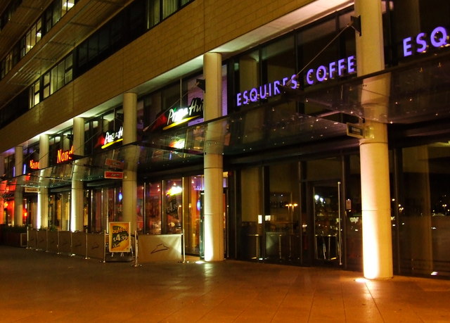
In addition to its natural beauty, Ram Gorse offers a range of amenities for residents and visitors. These include a village hall, a local pub, and a small convenience store. The village also hosts regular community events and activities, fostering a sense of community spirit and engagement.
Overall, Ram Gorse in Essex is a charming village that offers a serene and picturesque setting, making it an ideal destination for those seeking to connect with nature and enjoy the tranquility of the countryside.
If you have any feedback on the listing, please let us know in the comments section below.
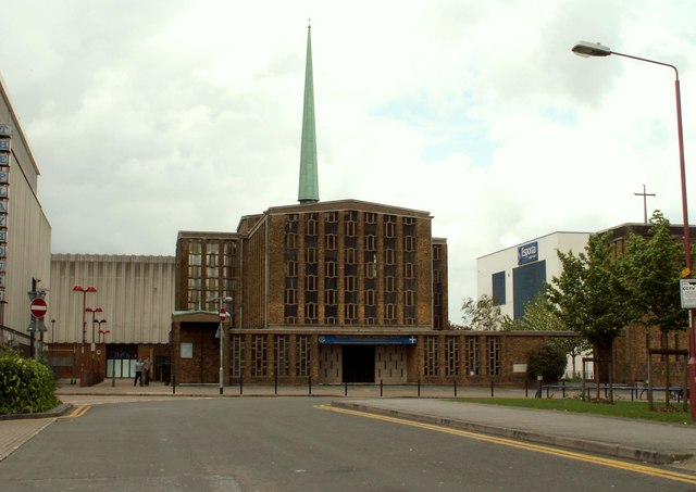
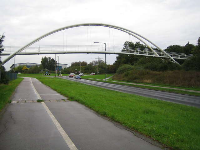
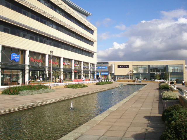
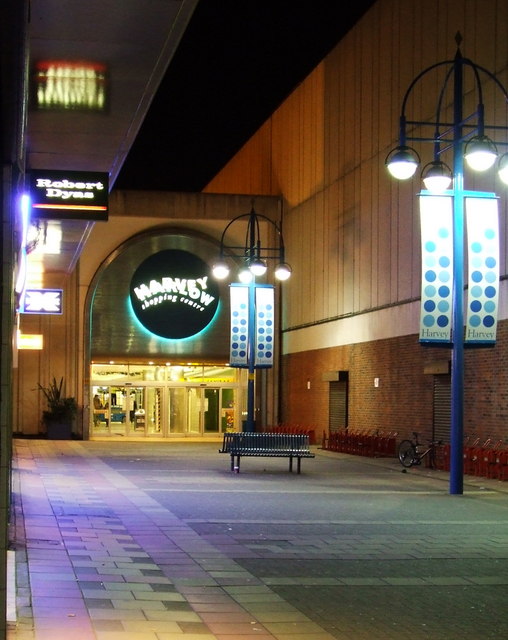
Ram Gorse Images
Images are sourced within 2km of 51.777809/0.080194154 or Grid Reference TL4310. Thanks to Geograph Open Source API. All images are credited.


Ram Gorse is located at Grid Ref: TL4310 (Lat: 51.777809, Lng: 0.080194154)
Administrative County: Essex
District: Harlow
Police Authority: Essex
What 3 Words
///asserts.crass.couch. Near Harlow, Essex
Nearby Locations
Related Wikis

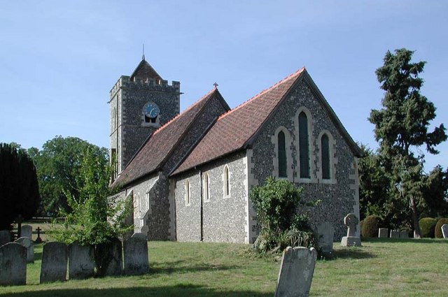
Princess Alexandra Hospital, Harlow
The Princess Alexandra Hospital is an acute general hospital in Harlow, Essex, England. It is managed by the Princess Alexandra Hospital NHS Trust. �...

Harlow Sportcentre
Harlow Sportcentre was a cricket ground in Harlow, Essex. The first recorded match on the ground was in 1964, when the Essex Second XI played the Warwickshire...
Eastwick, Hertfordshire
Eastwick is a village and civil parish 7 miles (11 km) east of Hertford, in the East Hertfordshire district, in the county of Hertfordshire, England. In...

The Square, Harlow
The Square was a 250 capacity independent live music venue in Harlow, Essex, England. It was managed by SquareOne Entertainment LLP who took over the venue...
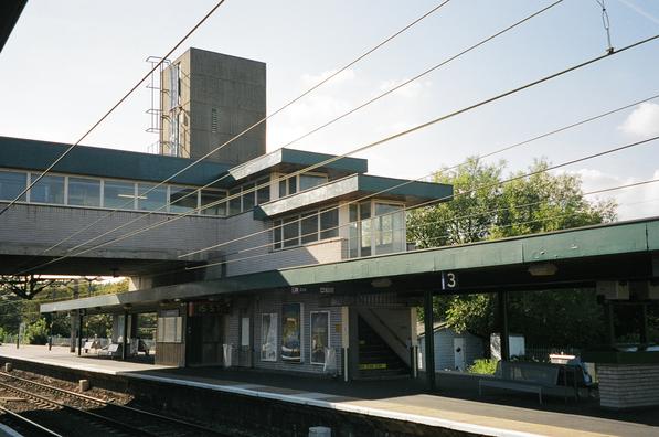
Harlow Town railway station
Harlow Town railway station is on the West Anglia Main Line serving the town of Harlow in Essex, England. It is 22 miles 59 chains (36.6 km) down the line...

Harlow (UK Parliament constituency)
Harlow is a constituency represented in the House of Commons of the UK Parliament since 2010 by Robert Halfon, a Conservative. == Constituency profile... ==

Cannons Wood F.C.
Cannons Wood Football Club is a non-league football club based in Harlow, England. They are currently members of the Eastern Counties League Division One...
Harlow Town F.C.
Harlow Town Football Club is an English football club based in Harlow, Essex. The club is a member of the Eastern Counties League Division One South and...
Nearby Amenities
Located within 500m of 51.777809,0.080194154Have you been to Ram Gorse?
Leave your review of Ram Gorse below (or comments, questions and feedback).