Water Wood
Wood, Forest in Sussex Wealden
England
Water Wood

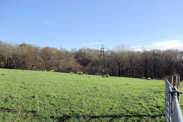
Water Wood is a serene and picturesque forest located in Sussex, England. Covering an area of approximately 500 acres, this enchanting woodland is renowned for its stunning natural beauty and diverse range of flora and fauna.
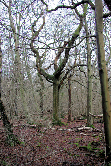
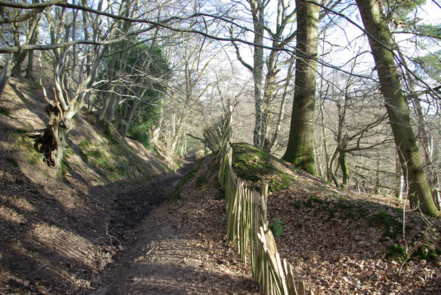
The forest is characterized by its dense canopy of tall oak and beech trees, which provide a cool and shaded atmosphere during warm summer months. The woodland floor is covered in a carpet of lush ferns, wildflowers, and moss, creating a vibrant and colorful landscape.
As the name suggests, Water Wood is dotted with numerous streams, brooks, and small ponds, which add to its charm and tranquility. These water features not only provide a habitat for various aquatic species but also offer a refreshing spot for visitors to relax and enjoy the serene surroundings.
The forest is home to a rich variety of wildlife, including deer, badgers, foxes, and numerous species of birds. Nature enthusiasts and birdwatchers flock to Water Wood to witness the diverse avian population, which includes woodpeckers, owls, and buzzards.
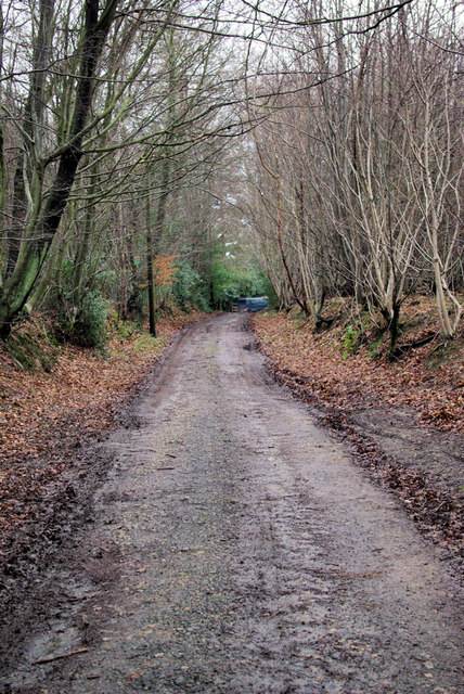
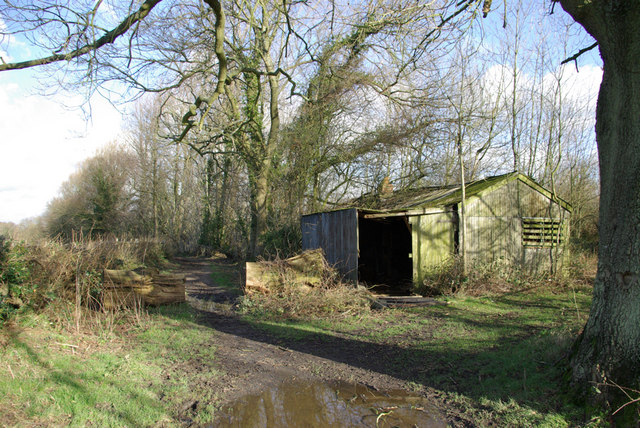
Visitors to Water Wood can explore its many walking trails, which wind through the forest and offer breathtaking views of the surrounding countryside. The forest is a popular destination for hikers, joggers, and families looking to immerse themselves in nature.
Overall, Water Wood in Sussex is a true natural gem, offering an idyllic escape from the hustle and bustle of everyday life. Its enchanting beauty, diverse wildlife, and peaceful ambiance make it a must-visit destination for nature lovers and outdoor enthusiasts alike.
If you have any feedback on the listing, please let us know in the comments section below.
Water Wood Images
Images are sourced within 2km of 51.123632/0.04709507 or Grid Reference TQ4338. Thanks to Geograph Open Source API. All images are credited.


Water Wood is located at Grid Ref: TQ4338 (Lat: 51.123632, Lng: 0.04709507)
Administrative County: East Sussex
District: Wealden
Police Authority: Sussex
What 3 Words
///plugged.sculpting.guests. Near Forest Row, East Sussex
Nearby Locations
Related Wikis

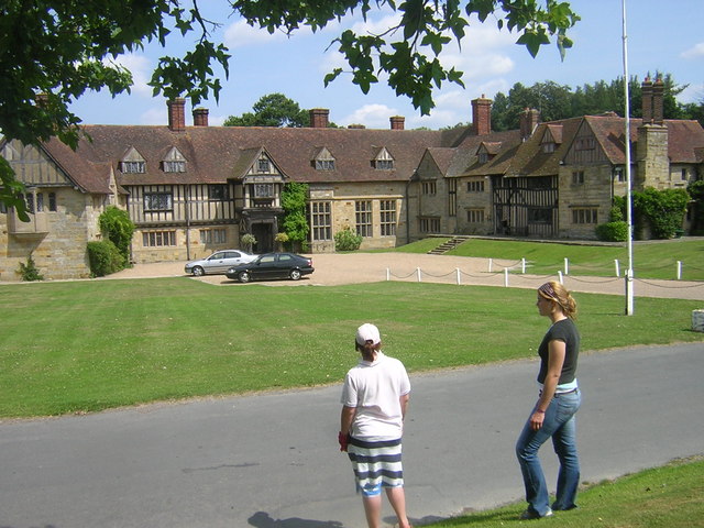
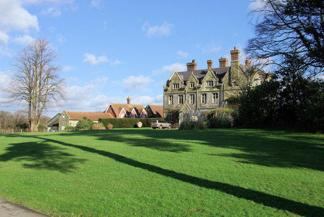
Hammerwood Park
Hammerwood Park is a country house in Hammerwood, near East Grinstead, in East Sussex, England. It is a Grade I listed building. One of the first houses...

Hammerwood
Hammerwood is a hamlet in the civil parish of Forest Row in East Sussex, England. Its nearest town is East Grinstead, which lies approximately 3.5 miles...

Stoke Brunswick School
Stoke Brunswick School was a small co-educational day and boarding independent school for children aged 3 to 13 years, situated in Ashurst Wood, West Sussex...

Ashurst Wood
Ashurst Wood is a village and civil parish in the Mid Sussex District of West Sussex, within the historic county of Sussex, England. It is 1 mile (2 km...
Brambletye School
Brambletye School is a coeducational day and boarding preparatory school in East Grinstead, West Sussex. It was founded as a small boys' boarding school...

Ashdown House, East Sussex
Ashdown House is a country house and former school near Forest Row, East Sussex, England, a Grade II* listed building. One of the first houses in England...

Emerson College (UK)
Emerson College, UK was founded in 1962 by Francis Edmunds. It is now situated on Pixton Hill, Forest Row in East Sussex, UK. It was named after Ralph...
Forest Row railway station
Forest Row was a railway station on the Three Bridges to Tunbridge Wells Central Line which closed in 1967, a casualty of the Beeching Axe.The station...
Nearby Amenities
Located within 500m of 51.123632,0.04709507Have you been to Water Wood?
Leave your review of Water Wood below (or comments, questions and feedback).