Short's Holt
Wood, Forest in Lincolnshire East Lindsey
England
Short's Holt
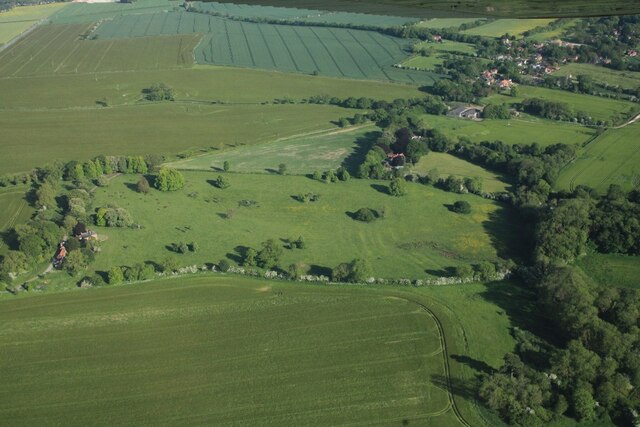
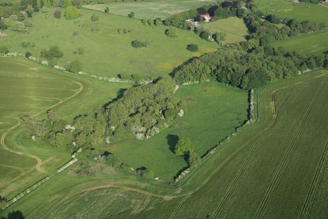
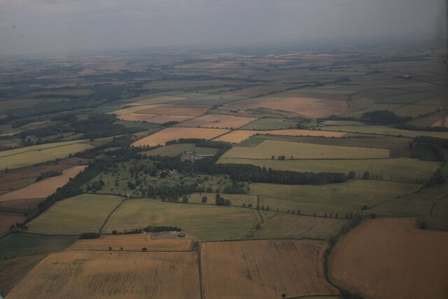
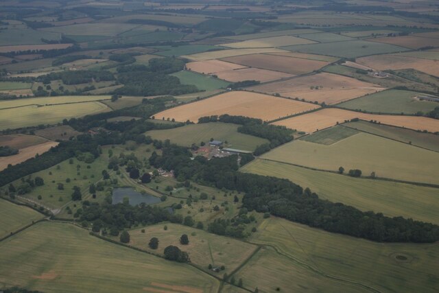
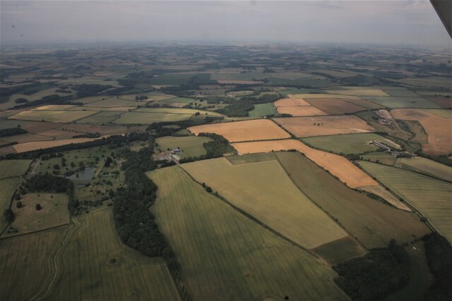
Short's Holt is a small woodland area located in Lincolnshire, England. Situated in the village of Wood, it is commonly referred to as Short's Holt Forest. Covering an area of approximately 20 acres, the forest is a cherished local treasure.
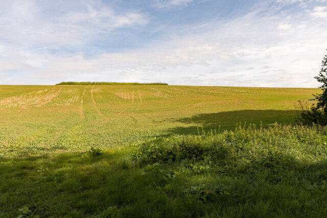
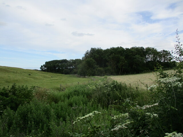
Characterized by its dense tree cover, Short's Holt offers a tranquil escape from the bustling city life. The woodland is primarily composed of a mixture of broadleaf and coniferous trees, including oak, beech, birch, pine, and spruce. This diverse ecosystem supports a wide variety of flora and fauna, making it an ideal habitat for many species.
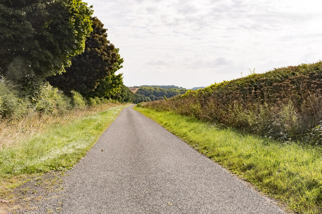
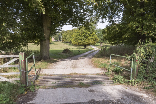
The forest boasts a network of well-maintained footpaths, allowing visitors to explore its natural beauty. Walking through Short's Holt, one can witness the vibrant seasonal changes, from the lively colors of spring and summer to the rich hues of autumn. The peaceful atmosphere is enhanced by the presence of a small stream that meanders through the woodland, adding to its charm.
Short's Holt is not only a haven for nature enthusiasts but also a popular spot for recreational activities. It provides opportunities for hiking, picnicking, birdwatching, and photography. The forest is also home to a small campsite, offering a unique camping experience surrounded by the beauty of nature.
Managed by the local authorities, Short's Holt is well-preserved and protected. Its importance is recognized for its ecological value and the role it plays in maintaining the biodiversity of the area. The forest serves as a valuable educational resource, with organized nature walks and workshops for schools and community groups.
Overall, Short's Holt Forest is a hidden gem within Lincolnshire, offering a peaceful retreat and a chance to connect with nature in a picturesque setting.
If you have any feedback on the listing, please let us know in the comments section below.
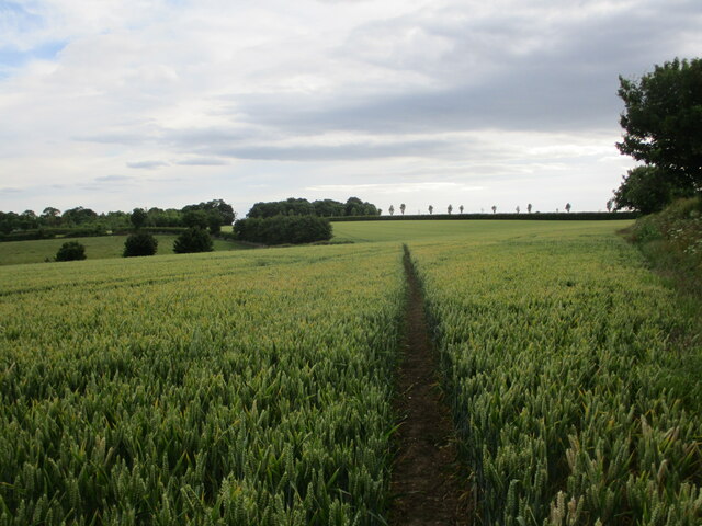
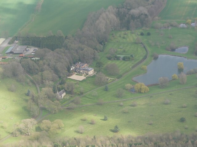
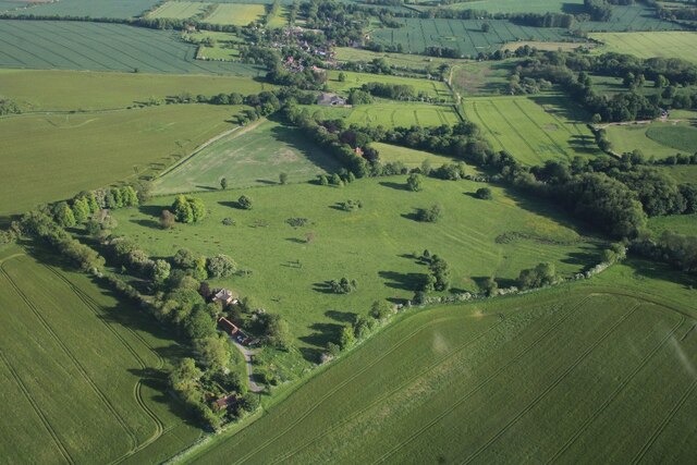
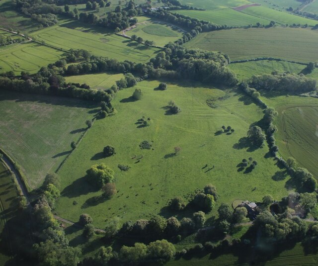
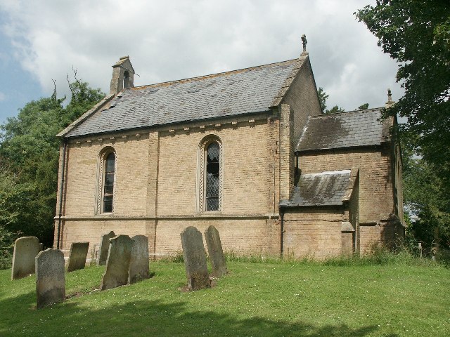
Short's Holt Images
Images are sourced within 2km of 53.211382/0.13856254 or Grid Reference TF4270. Thanks to Geograph Open Source API. All images are credited.


Short's Holt is located at Grid Ref: TF4270 (Lat: 53.211382, Lng: 0.13856254)
Administrative County: Lincolnshire
District: East Lindsey
Police Authority: Lincolnshire
What 3 Words
///incurs.tint.sharpened. Near Spilsby, Lincolnshire
Nearby Locations
Related Wikis

Skendleby
Skendleby is a small village and civil parish in the East Lindsey district of Lincolnshire, England. It is situated near to the A158 and lies 35 miles...

Skendleby Priory
Skendleby Priory was a priory in the village of Skendleby, Lincolnshire, England. The believed remains of St James Chapel, Skendleby Priory, were uncovered...
Fordington, Lincolnshire
Fordington is a hamlet in the East Lindsey district of Lincolnshire in England. It is situated within Ulceby with Fordington civil parish. == References... ==

Dalby, Lincolnshire
Dalby is a village and civil parish in the East Lindsey district of Lincolnshire, England. It is situated approximately 3 miles (5 km) north from the town...
Claxby St Andrew
Claxby St Andrew (sometimes known as Claxby), is a village and civil parish about 3 miles (5 km) south of Alford, in the East Lindsey district of Lincolnshire...
Dexthorpe
Dexthorpe is a deserted medieval village in the East Lindsey district of Lincolnshire, England. It is in the parish of Dalby, and 3.5 miles (5.6 km) north...

Ulceby, East Lindsey
Ulceby is a village in the East Lindsey district of Lincolnshire in England. It is situated next to the A1028 road, 11 miles (18 km) east from Horncastle...
Ulceby with Fordington
Ulceby with Fordington is a civil parish in the East Lindsey district of Lincolnshire, England. The parish is situated 27 miles (43 km) east from the city...
Nearby Amenities
Located within 500m of 53.211382,0.13856254Have you been to Short's Holt?
Leave your review of Short's Holt below (or comments, questions and feedback).