Orphan Holt
Wood, Forest in Lincolnshire East Lindsey
England
Orphan Holt
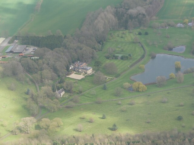
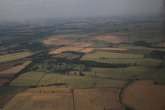
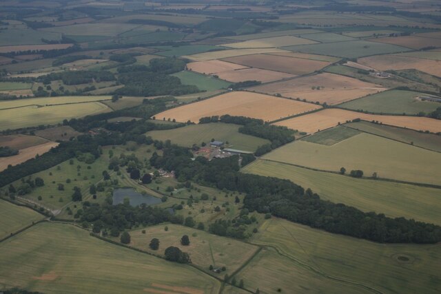
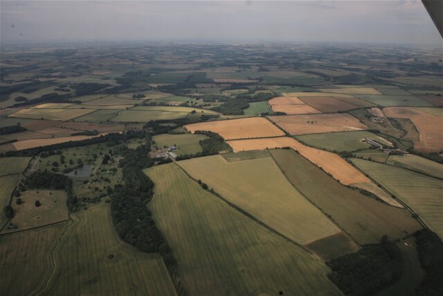
Orphan Holt is a small village located in the county of Lincolnshire, England. Situated in the heart of the county, it lies within the district of West Lindsey. Known for its picturesque woodlands and lush forests, Orphan Holt offers a serene and tranquil environment for residents and visitors alike.
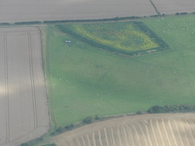
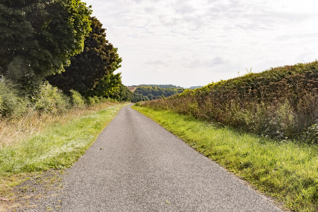
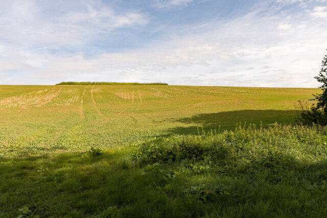
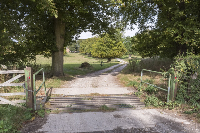
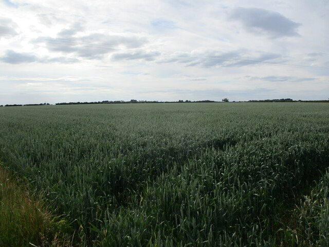
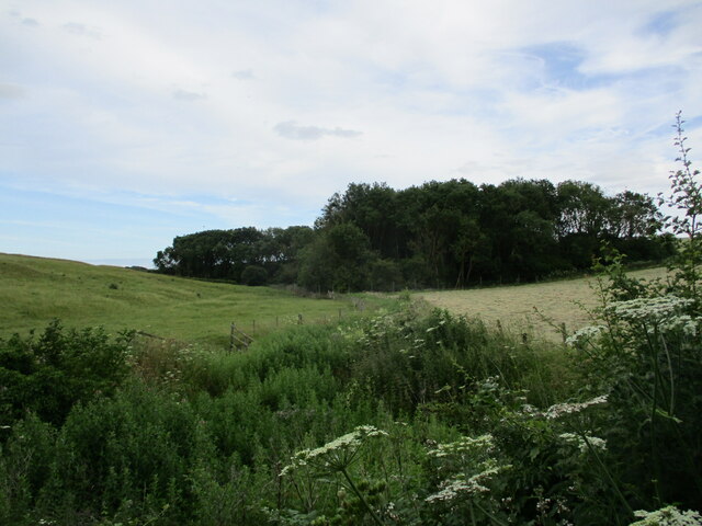
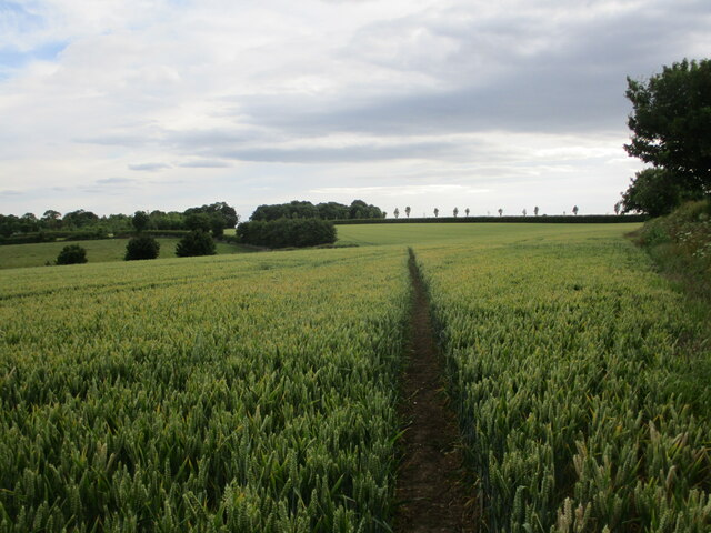
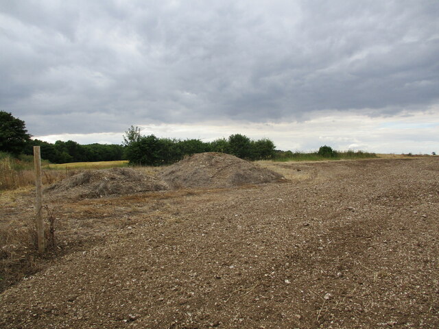
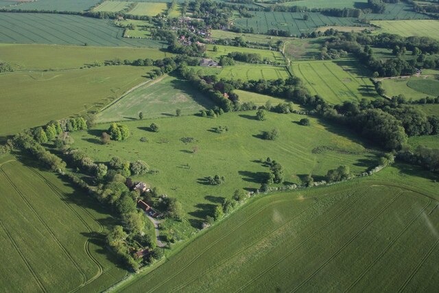
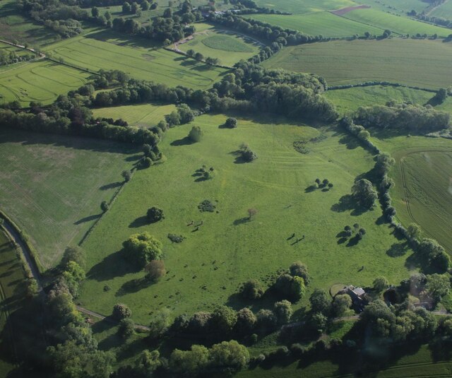
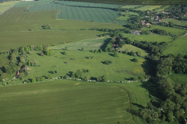
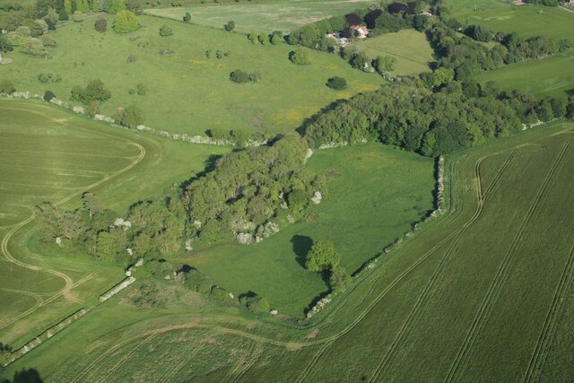
The village is nestled amidst a dense and ancient woodland, which is believed to have existed for centuries. The forest, with its tall oak and beech trees, provides a stunning backdrop to the village and offers numerous opportunities for outdoor activities such as hiking, birdwatching, and nature walks.
Despite its small size, Orphan Holt has a close-knit community that takes pride in its rich history. The village is home to several historic buildings, including a charming Norman-style church that dates back to the 12th century. The church, with its intricate architecture and stained glass windows, serves as a reminder of the village's medieval past.
The surrounding area of Orphan Holt is also known for its diverse wildlife. The forest is home to a variety of animals, including deer, foxes, and various bird species. Nature enthusiasts can often spot these creatures while exploring the woodland trails.
In terms of amenities, Orphan Holt offers a village hall that serves as a community hub for various events and gatherings. It also has a small local shop that caters to the basic needs of the residents.
Overall, Orphan Holt, Lincolnshire (Wood, Forest) provides a peaceful and idyllic setting, making it a popular destination for those seeking a break from the hustle and bustle of city life.
If you have any feedback on the listing, please let us know in the comments section below.
Orphan Holt Images
Images are sourced within 2km of 53.213591/0.12610665 or Grid Reference TF4270. Thanks to Geograph Open Source API. All images are credited.


Orphan Holt is located at Grid Ref: TF4270 (Lat: 53.213591, Lng: 0.12610665)
Administrative County: Lincolnshire
District: East Lindsey
Police Authority: Lincolnshire
What 3 Words
///speaker.thirsty.pickup. Near Spilsby, Lincolnshire
Nearby Locations
Related Wikis

Fordington, Lincolnshire
Fordington is a hamlet in the East Lindsey district of Lincolnshire in England. It is situated within Ulceby with Fordington civil parish. == References... ==

Dalby, Lincolnshire
Dalby is a village and civil parish in the East Lindsey district of Lincolnshire, England. It is situated approximately 3 miles (5 km) north from the town...
Dexthorpe
Dexthorpe is a deserted medieval village in the East Lindsey district of Lincolnshire, England. It is in the parish of Dalby, and 3.5 miles (5.6 km) north...

Skendleby
Skendleby is a small village and civil parish in the East Lindsey district of Lincolnshire, England. It is situated near to the A158 and lies 35 miles...
Skendleby Priory
Skendleby Priory was a priory in the village of Skendleby, Lincolnshire, England. The believed remains of St James Chapel, Skendleby Priory, were uncovered...

Ulceby, East Lindsey
Ulceby is a village in the East Lindsey district of Lincolnshire in England. It is situated next to the A1028 road, 11 miles (18 km) east from Horncastle...
Ulceby with Fordington
Ulceby with Fordington is a civil parish in the East Lindsey district of Lincolnshire, England. The parish is situated 27 miles (43 km) east from the city...

Partney
Partney is a small village and civil parish in the East Lindsey district of Lincolnshire, England. It is situated 3 miles (4.8 km) north of Spilsby, and...
Have you been to Orphan Holt?
Leave your review of Orphan Holt below (or comments, questions and feedback).