Repository Woods
Wood, Forest in Kent
England
Repository Woods

Repository Woods, located in Kent, England, is a picturesque wood and forest area that spans across a vast expanse of approximately 500 acres. It is renowned for its natural beauty and tranquil atmosphere, making it a popular destination for nature enthusiasts and those seeking a peaceful retreat.
The woods are home to a diverse range of flora and fauna, with an impressive array of native trees such as oak, beech, and birch dominating the landscape. These majestic trees create a dense canopy, providing shade and shelter for the numerous animal species that inhabit the woods. Visitors can often spot woodland creatures such as deer, foxes, and a variety of bird species, making it a haven for wildlife enthusiasts and birdwatchers.
Trails and footpaths crisscross the woods, allowing visitors to explore the area at their own pace. The paths are well-maintained, making it accessible for both casual walkers and more experienced hikers. Along the way, there are several designated picnic spots and seating areas where visitors can rest and enjoy the serene surroundings.
For those interested in history and archaeology, Repository Woods also holds significance. There are remnants of ancient earthworks and burial mounds scattered throughout the area, providing glimpses into the rich heritage of the region.
Overall, Repository Woods in Kent is a captivating natural wonderland that offers a peaceful escape from the hustle and bustle of everyday life. Its lush greenery, diverse wildlife, and historical significance make it an ideal destination for nature lovers, hikers, and those seeking a tranquil retreat in the heart of nature.
If you have any feedback on the listing, please let us know in the comments section below.
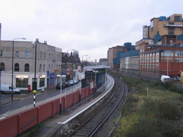
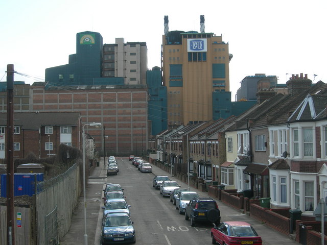
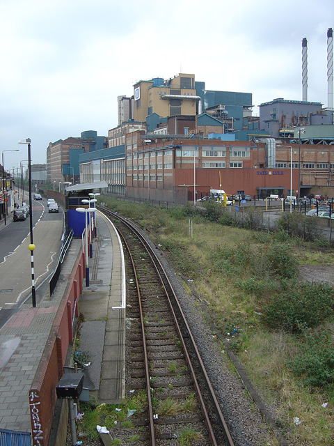
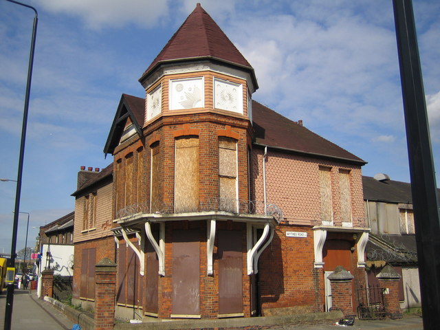
Repository Woods Images
Images are sourced within 2km of 51.484528/0.051378265 or Grid Reference TQ4278. Thanks to Geograph Open Source API. All images are credited.


Repository Woods is located at Grid Ref: TQ4278 (Lat: 51.484528, Lng: 0.051378265)
Unitary Authority: Greenwich
Police Authority: Metropolitan
What 3 Words
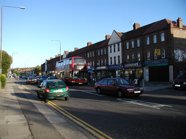
///brush.oiled.handed. Near Woolwich, London
Nearby Locations
Related Wikis
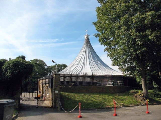
Rotunda, Woolwich
The Rotunda on Woolwich Common, in south-east London, was originally a 24 sided brick rotunda, designed by the Whig architect John Nash. Intended as a...

Repository Woods
Repository Woods is a 7 acres (2.8 ha) deciduous woodland area to the west of the British Army's Woolwich Garrison in the Royal Borough of Greenwich in...

Charlton Cemetery
Charlton Cemetery is a cemetery, opened in 1855, covering 15 acres of ground in Charlton, south-east London. Situated in Cemetery Lane to the east of Charlton...

Woolwich pub bombing
The Woolwich pub bombing was an attack by the Provisional Irish Republican Army in Woolwich, a district of London in the United Kingdom, as part of The...
Kings Arms, Woolwich
The Kings Arms was a public house in Woolwich in southeast London. Standing at 1 Frances Street to the south of Woolwich Dockyard and the Royal Marine...

Royal Marine Barracks, Woolwich
The Royal Marine Barracks, Woolwich was a military installation occupied by the Royal Marines and located in Frances Street, just south of Woolwich Dockyard...

Maryon Wilson Park
Maryon Wilson Park is a public park on Thorntree Road, Charlton, in the Royal Borough of Greenwich in south east London. Together with the neighbouring...

Woolwich Garrison
Woolwich Garrison (now referred to as Woolwich Station) is a garrison or station of the British Army. Geographically it is in Woolwich, in the Royal Borough...
Nearby Amenities
Located within 500m of 51.484528,0.051378265Have you been to Repository Woods?
Leave your review of Repository Woods below (or comments, questions and feedback).