Home Wood

Wood, Forest in Sussex Wealden

England

Home Wood

Brambletye House ruins Built in 1631 and abandoned towards the end of the 17th century
Brambletye House ruins Credit: Nigel Freeman

Home Wood, Sussex, also known as Wood or Forest, is a picturesque woodland located in the county of Sussex, England. Covering an area of approximately 100 acres, it is a popular destination for nature lovers and outdoor enthusiasts alike.

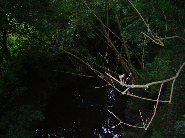
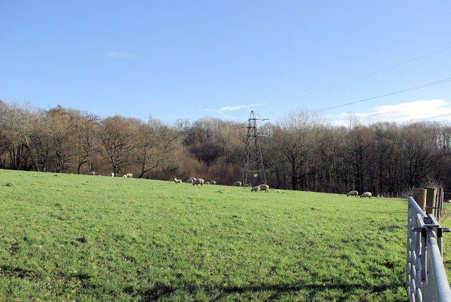
Home Wood is characterized by its diverse ecosystem, boasting a rich variety of flora and fauna. The woodland is primarily composed of broadleaf trees such as oak, beech, and ash, creating a vibrant and lush canopy that provides shelter and sustenance for a wide range of wildlife.

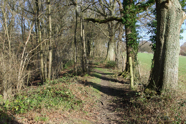
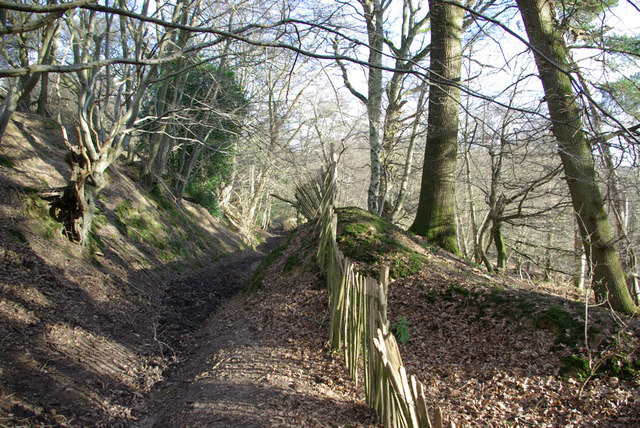
The woodland is crisscrossed with a network of well-maintained footpaths, allowing visitors to explore the area and appreciate its natural beauty. Along these paths, one can encounter an array of native wildlife, including deer, foxes, badgers, and numerous species of birds. Additionally, the woodland is home to various plant species, such as bluebells, primroses, and ferns, which create a stunning display of colors during the spring and summer months.

In addition to its natural beauty, Home Wood also offers recreational activities for visitors. There are designated picnic areas and benches where visitors can relax and enjoy a meal amidst the tranquil surroundings. The woodland is also a popular spot for birdwatching, photography, and nature walks.

Overall, Home Wood, Sussex, is a captivating woodland that showcases the remarkable biodiversity of the region. Its scenic beauty, diverse wildlife, and recreational opportunities make it a cherished destination for nature enthusiasts and a valuable asset to the local community.

If you have any feedback on the listing, please let us know in the comments section below.
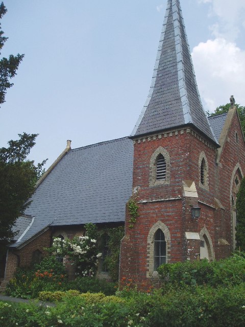
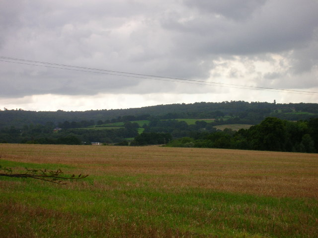
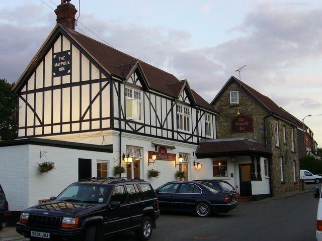
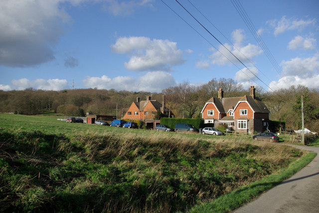
Home Wood Images

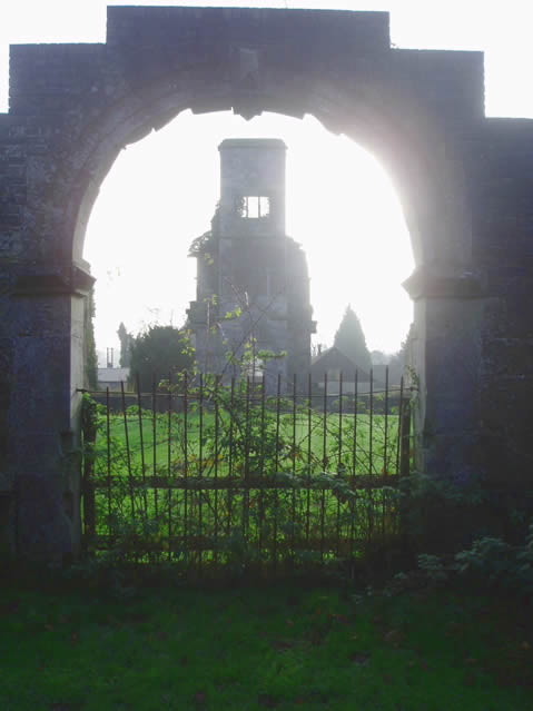
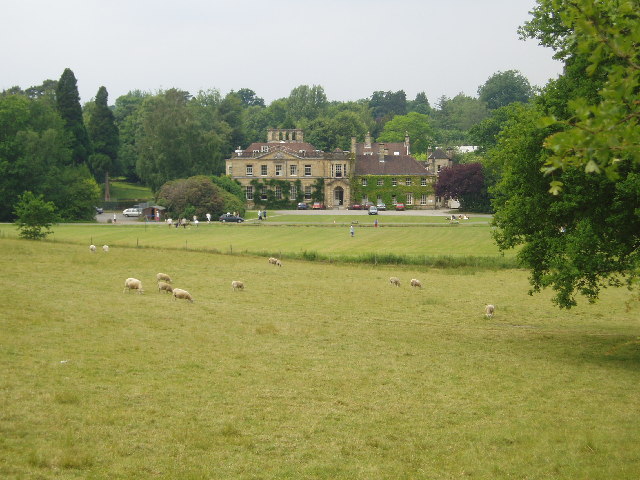
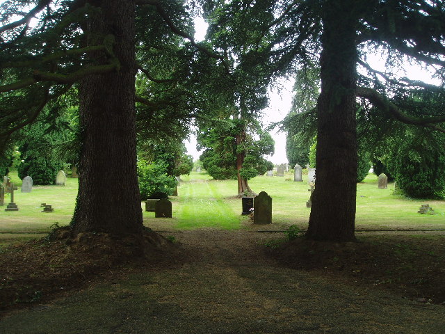
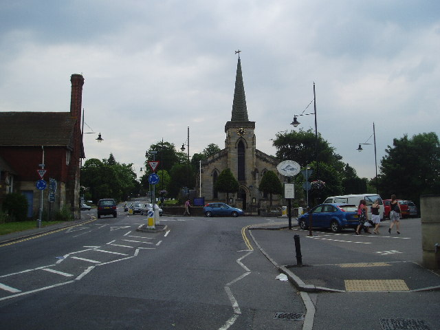
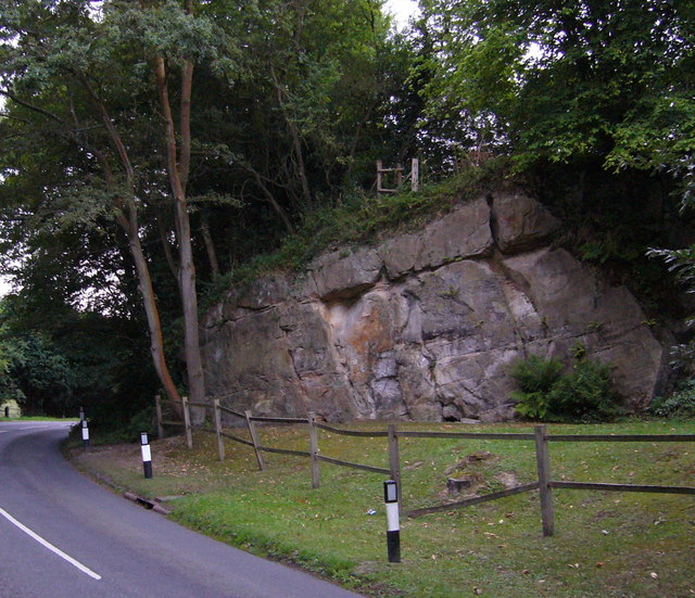
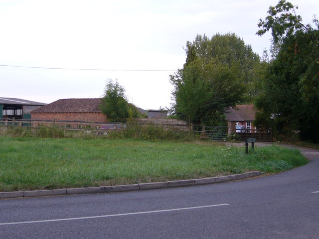
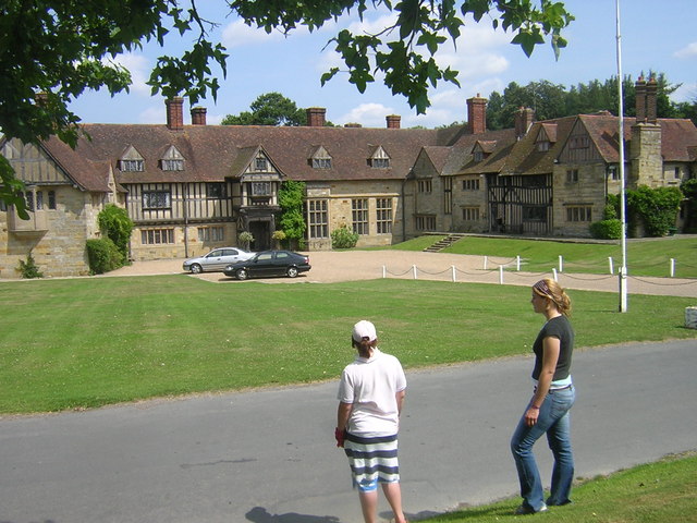
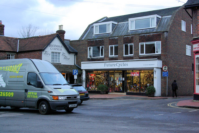
Images are sourced within 2km of 51.107793/0.034309342 or Grid Reference TQ4236. Thanks to Geograph Open Source API. All images are credited.

Brambletye House ruins Built in 1631 and abandoned towards the end of the 17th century
Brambletye House ruins
Built in 1631 and abandoned towards the end of the 17th century
Michael Hall - Rudolph Steiner School at Forest Row This is known as Michael Hall - Rudolph Steiner school and whilst the picture shows the original mansion that dominated Kidbrooke Park, it does not show the many purpose built school facilities for the approx. 700 pupils nor the pupils themselves ! I was given a brief guided tour by one of the teachers who enthused about the educational system that Rudolph Steiner established.
Michael Hall - Rudolph Steiner School at Forest Row
This is known as Michael Hall - Rudolph Steiner school and whilst the picture shows the original mansion that dominated Kidbrooke Park, it does not show the many purpose built school facilities for the approx. 700 pupils nor the pupils themselves ! I was given a brief guided tour by one of the teachers who enthused about the educational system that Rudolph Steiner established.
Forest Row Cemetery Run by the Forest Row Parish Council with peaceful surroundings. Has won a 'Best cemetery in the South' Award !
Forest Row Cemetery
Run by the Forest Row Parish Council with peaceful surroundings. Has won a 'Best cemetery in the South' Award !
Forest Row centre
Forest Row centre
St Dunstan's Church at Ashurst Wood A small place of worship in this pretty village.
St Dunstan's Church at Ashurst Wood
A small place of worship in this pretty village.
View of Weirwood reservoir and beyond This square contains very little except a farm and sewage works. Thought this view from Forest Way looked far better.
View of Weirwood reservoir and beyond
This square contains very little except a farm and sewage works. Thought this view from Forest Way looked far better.
River Medway at Forest Row Taken as the river briefly heads south under the Forest Way.
River Medway at Forest Row
Taken as the river briefly heads south under the Forest Way.
The Maypole 76 Maypole Road, Ashurst Wood. The village seems to have decided within the last thrity years that it is two words and not Ashurstwood as on older maps
The Maypole
76 Maypole Road, Ashurst Wood. The village seems to have decided within the last thrity years that it is two words and not Ashurstwood as on older maps
Wealden outcrop in Homestall Road which is in East Sussex but continue away from the photographer along that road for a couple of hundred yards and you come to Ashurst Wood, West Sussex. Stoke Brunswick School lies behind the outcrop. The rock is rusty because it contains iron ore.
Wealden outcrop
in Homestall Road which is in East Sussex but continue away from the photographer along that road for a couple of hundred yards and you come to Ashurst Wood, West Sussex. Stoke Brunswick School lies behind the outcrop. The rock is rusty because it contains iron ore.
Near Shovelstrode Farm in Homestall Road near Ashurst Wood. Shovelstrode Farm is out of shot to the right.
Near Shovelstrode Farm
in Homestall Road near Ashurst Wood. Shovelstrode Farm is out of shot to the right.
Stoke Brunswick School A historic building built by Lord and Lady Dewar, combining a hunting lodge with a Hall bought down from Cheshire and landscaped gardens. Now used as a school
Stoke Brunswick School
A historic building built by Lord and Lady Dewar, combining a hunting lodge with a Hall bought down from Cheshire and landscaped gardens. Now used as a school
Future Cycles The lights are coming on in Forest Row as the photographer queues on the A22 - a probable fallen tree ahead - never found out, turned round and went another way.
Future Cycles
The lights are coming on in Forest Row as the photographer queues on the A22 - a probable fallen tree ahead - never found out, turned round and went another way.
Vanguard Way The footpath ascends the hill north of Forest Row. Old ironstone diggings on the left.
Vanguard Way
The footpath ascends the hill north of Forest Row. Old ironstone diggings on the left.
Thornhill An imposing house viewed from the Vanguard Way footpath.
Thornhill
An imposing house viewed from the Vanguard Way footpath.
Sheep grazing Viewed from the Vanguard Way footpath.
Sheep grazing
Viewed from the Vanguard Way footpath.
Owletts Cottage Not a whimsical name - there is a nearby Owlett's Farm.
Owletts Cottage
Not a whimsical name - there is a nearby Owlett's Farm.
Bridleway, Highams Wood There was a badger sett in the mound in the centre.
Bridleway, Highams Wood
There was a badger sett in the mound in the centre.
Cottages, Ashdown Park Farm The communications tower at the top of Highams Wood is visible on the skyline.
Cottages, Ashdown Park Farm
The communications tower at the top of Highams Wood is visible on the skyline.
Show me another place!

Home Wood is located at Grid Ref: TQ4236 (Lat: 51.107793, Lng: 0.034309342)

Administrative County: East Sussex

District: Wealden

Police Authority: Sussex

What 3 Words

///approvals.slurred.schooling. Near Forest Row, East Sussex

Nearby Locations

Home Wood

Related Wikis

Ashurst Wood

Ashurst Wood is a village and civil parish in the Mid Sussex District of West Sussex, within the historic county of Sussex, England. It is 1 mile (2 km...

Forest Row railway station

Forest Row was a railway station on the Three Bridges to Tunbridge Wells Central Line which closed in 1967, a casualty of the Beeching Axe.The station...

Forest Row

Forest Row is a village and a large civil parish in the Wealden District of East Sussex, England. The village is located three miles (5 km) south-east...

Brambletye School

Brambletye School is a coeducational day and boarding preparatory school in East Grinstead, West Sussex. It was founded as a small boys' boarding school...

Nearby Amenities

Located within 500m of 51.107793,0.034309342
Barrier: stile
Foot: yes
Lat/Long: 51.10687/0.0371445
Barrier: stile
Foot: yes
Lat/Long: 51.1062175/0.0368916
Post Box
Brand: Royal Mail
Brand Wikidata: Q638098
Brand Wikipedia: en:Royal Mail
Operator: Royal Mail
Operator Wikidata: Q638098
Post Box Type: lamp
Ref: RH19 110
Royal Cypher: EIIR
Royal Cypher Wikidata: Q33102113
Lat/Long: 51.1118699/0.034233
Barrier: stile
Foot: yes
Lat/Long: 51.1037255/0.0349381
Barrier: stile
Foot: yes
Lat/Long: 51.1054115/0.0367728
Power: tower
Lat/Long: 51.1047713/0.035178
Turning Circle
Lat/Long: 51.1052443/0.029022
The data included in this document is from www.openstreetmap.org. The data is made available under ODbL.

Have you been to Home Wood?

Leave your review of Home Wood below (or comments, questions and feedback).