Square Wood
Wood, Forest in Surrey Tandridge
England
Square Wood
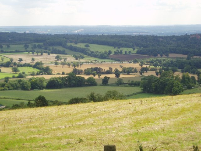
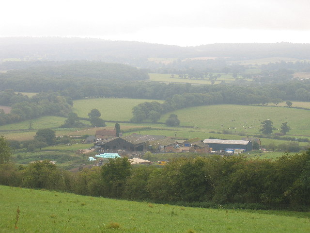
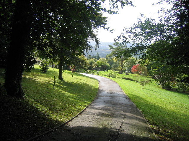
Square Wood is a picturesque forest located in the county of Surrey, England. Nestled in the heart of the Surrey Hills Area of Outstanding Natural Beauty, it spans an area of approximately 100 acres. The woodland is characterized by its dense and diverse array of deciduous trees, including oak, beech, and birch, which create a stunning canopy of greenery during the summer months.
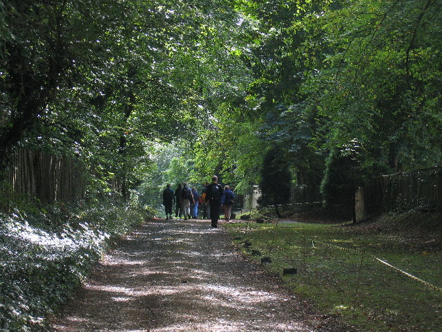
The forest is a haven for wildlife enthusiasts, as it is home to a wide variety of flora and fauna. Visitors may spot deer, foxes, and squirrels roaming freely among the trees, while a plethora of bird species can be observed throughout the year. The tranquil atmosphere and peaceful surroundings offer a perfect escape from the hustle and bustle of city life.
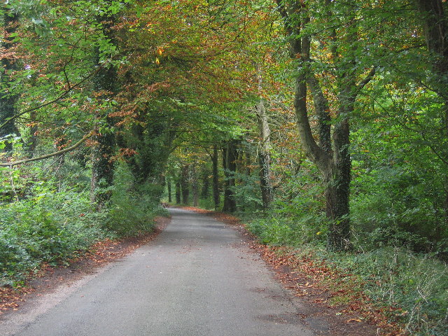
Square Wood is not only a natural sanctuary but also a popular destination for outdoor activities. It features a network of well-maintained walking trails, enabling visitors to explore the forest at their leisure. These paths cater to all levels of fitness and provide breathtaking views of the surrounding countryside. Additionally, the wood is equipped with picnic areas, allowing visitors to enjoy a relaxing lunch amidst the beauty of nature.
The management of Square Wood is committed to preserving its natural beauty and protecting its wildlife. It is maintained by local authorities who ensure that the woodland remains a safe and enjoyable environment for both visitors and the creatures that call it home.
In conclusion, Square Wood in Surrey offers a serene and enchanting experience for nature lovers and outdoor enthusiasts alike. With its stunning landscapes, abundant wildlife, and well-maintained facilities, it stands as a testament to the natural beauty of the region.
If you have any feedback on the listing, please let us know in the comments section below.
Square Wood Images
Images are sourced within 2km of 51.273203/0.034911765 or Grid Reference TQ4254. Thanks to Geograph Open Source API. All images are credited.


Square Wood is located at Grid Ref: TQ4254 (Lat: 51.273203, Lng: 0.034911765)
Administrative County: Surrey
District: Tandridge
Police Authority: Surrey
What 3 Words
///fresh.passes.heads. Near Westerham, Kent
Nearby Locations
Related Wikis

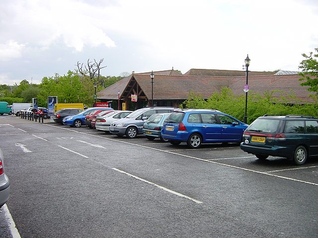
Clacket Lane services
Clacket Lane services is a motorway service station on the M25 motorway midway between junctions 5 and 6, in Surrey, United Kingdom, adjacent to the parish...
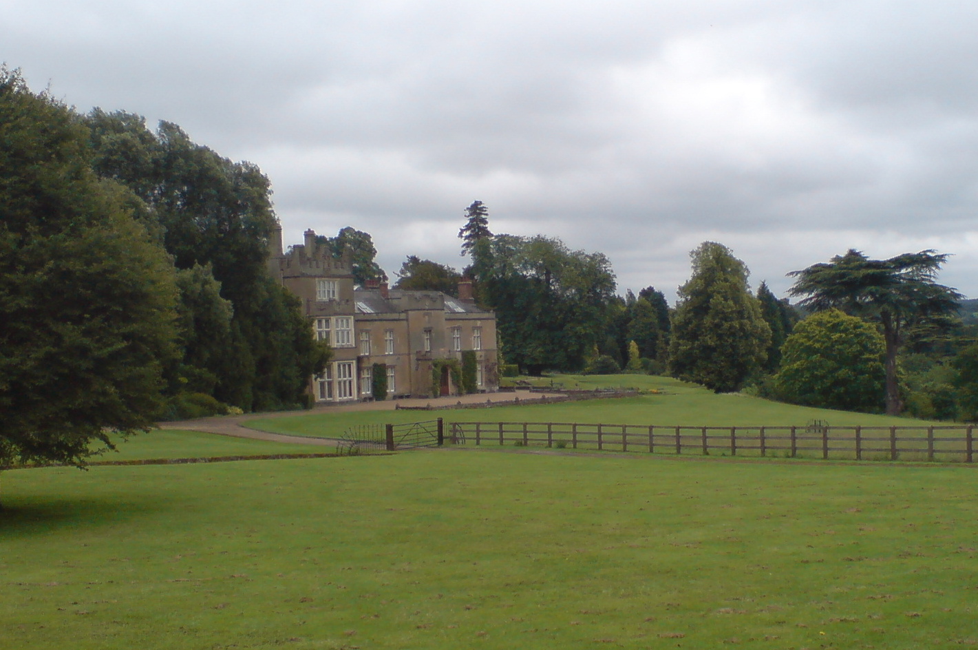
Titsey Place
Titsey Place is an English country house near Oxted in Surrey, England. It was successively the seat of the Gresham and Leveson-Gower families and is now...
Botley Hill
Botley Hill is a hill in Surrey and is the highest point of the North Downs, with a height of 269.6 metres (885 ft). The Prime Meridian crosses the hill...
Titsey
Titsey is a rural village and a civil parish on the North Downs almost wholly within the M25 London Orbital Motorway in the Tandridge District of Surrey...

Westerham Wood
Westerham Wood is a 43.2 hectares (107 acres) biological Site of Special Scientific Interest north of Westerham in Kent.This ancient oak wood on Gault...

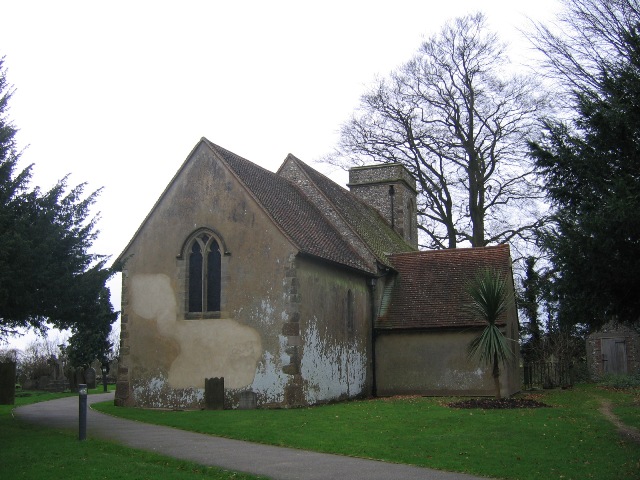
Church of St Peter, Limpsfield
The Anglican Church of St Peter in Limpsfield, Surrey, England dates from the 12th century. It is a Grade I listed building. It is known for the number...

Limpsfield
Limpsfield is a village and civil parish in Surrey, England, at the foot of the North Downs close to Oxted railway station and the A25. The composer Frederick...

Tandridge Priory
Tandridge Priory was a priory in Surrey, England. == History == Tandridge Priory was originally a hospital founded in 1189–99 by Odo de Dammartin, and...
Nearby Amenities
Located within 500m of 51.273203,0.034911765Have you been to Square Wood?
Leave your review of Square Wood below (or comments, questions and feedback).