Elmstead Wood

Wood, Forest in Kent

England

Elmstead Wood

The Red Lion pub and houses in North Road
The Red Lion pub and houses in North Road Credit: David Martin

Elmstead Wood is a picturesque woodland located in the county of Kent, England. Situated near the village of Chislehurst, it covers an area of approximately 79 hectares (195 acres) and forms part of the larger Chislehurst Commons and St. Paul's Cray Commons.

The woodland is characterized by its dense canopy of trees, primarily consisting of oak, beech, and silver birch. These towering trees create a serene and tranquil atmosphere, providing a haven for wildlife and a popular destination for nature enthusiasts.

Elmstead Wood is crisscrossed by a network of well-maintained walking paths, allowing visitors to explore the beauty of the woodland at their own pace. The paths wind through the ancient trees, passing by patches of wildflowers and ferns, creating a truly enchanting experience.

The wood is home to a diverse range of flora and fauna, with notable species including woodpeckers, squirrels, and a variety of woodland birds. It also supports a rich ground flora, with bluebells, primroses, and wood anemones carpeting the forest floor in spring.

Elmstead Wood has a long history, with evidence of human habitation dating back to the Mesolithic period. Today, it is managed by the Chislehurst Commons Conservators, who work to preserve its natural beauty and protect its wildlife.

The woodland provides a peaceful escape from the urban surroundings, attracting visitors from near and far who come to enjoy its tranquility and natural splendor. Whether it's a leisurely stroll, a picnic amidst the trees, or simply soaking in the peaceful ambiance, Elmstead Wood offers a truly rejuvenating experience for all who visit.

If you have any feedback on the listing, please let us know in the comments section below.

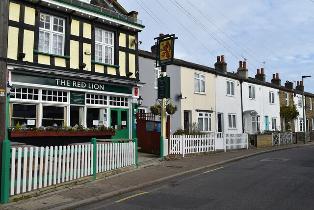
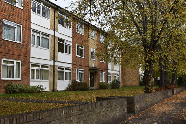
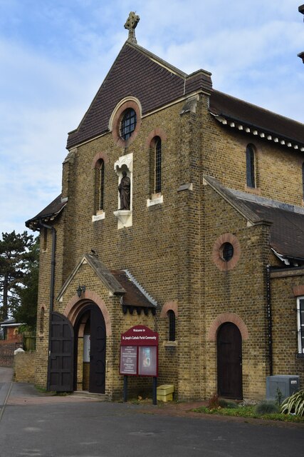
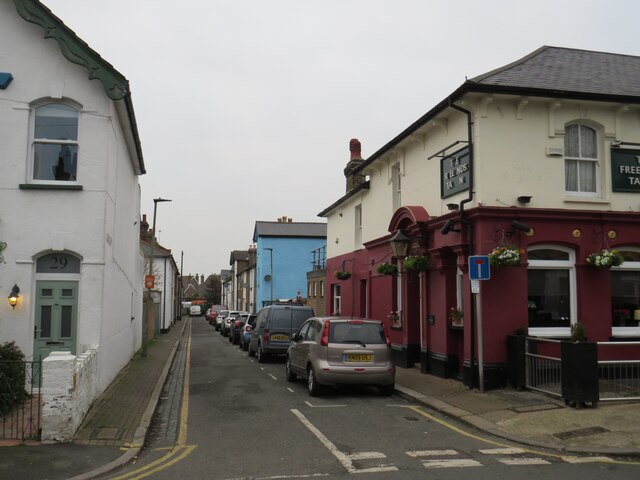
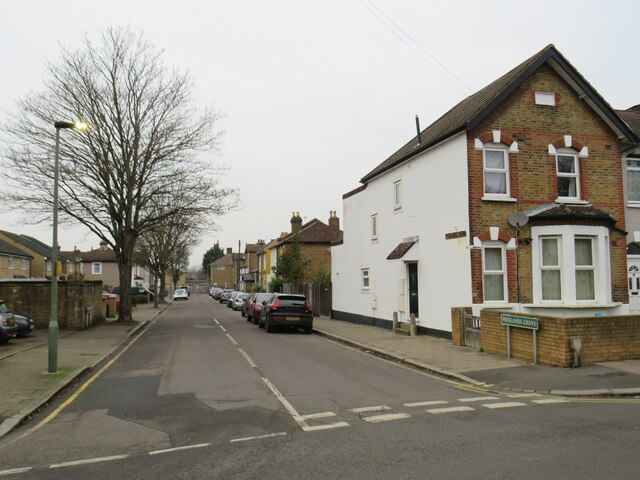
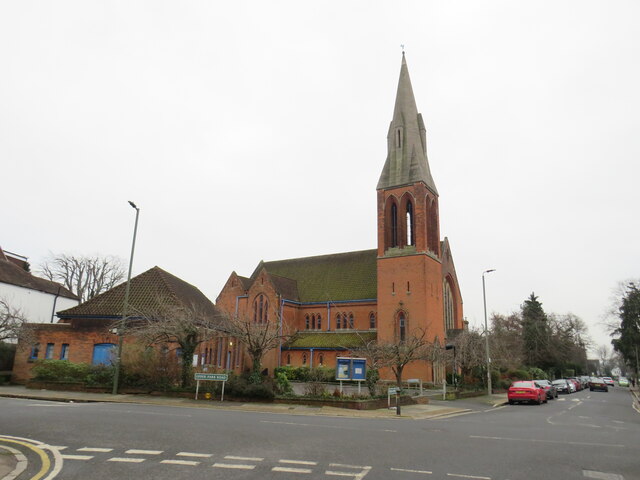
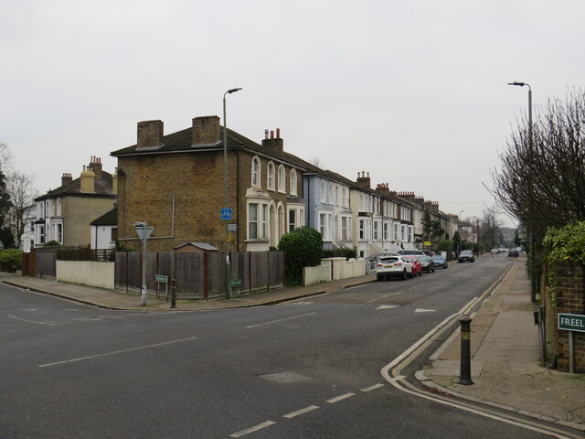
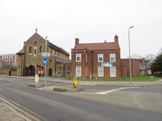
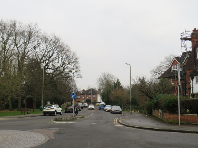
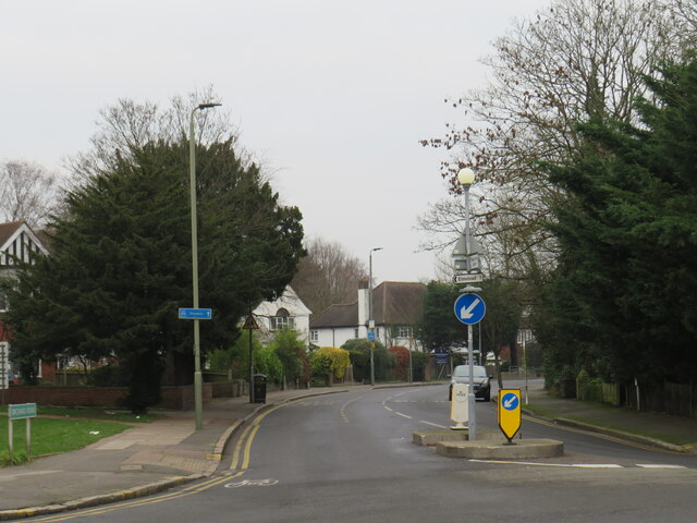
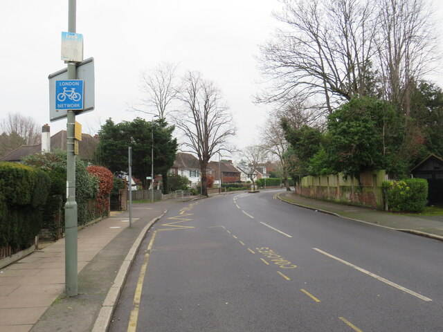
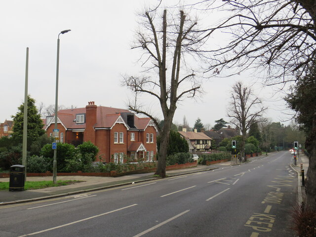
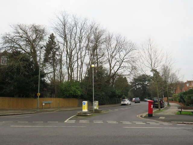
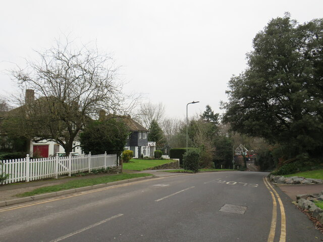
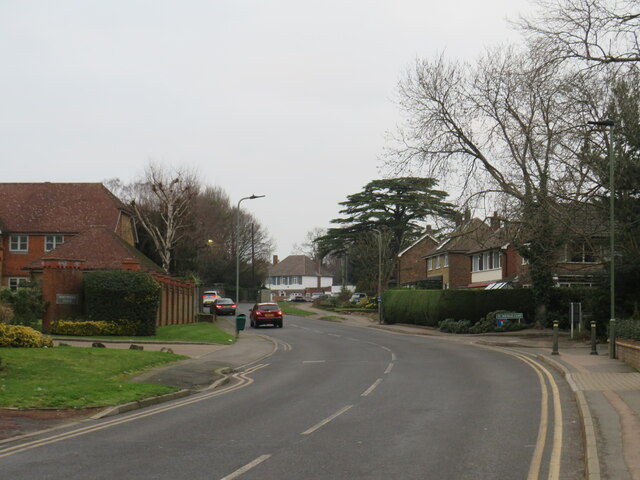
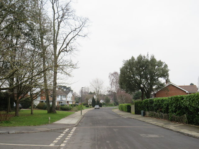
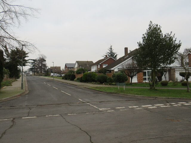
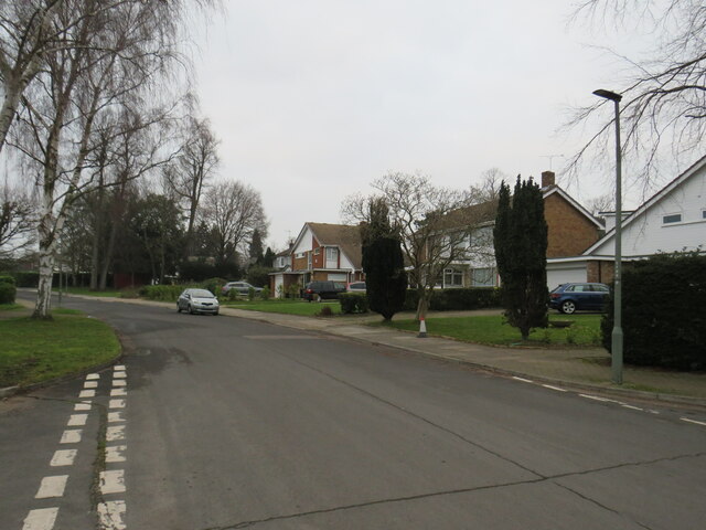
Elmstead Wood Images

Images are sourced within 2km of 51.422022/0.041400515 or Grid Reference TQ4271. Thanks to Geograph Open Source API. All images are credited.

The Red Lion pub and houses in North Road
Low-rise apartment buildings in Upper Park Road
St Joseph’s Catholic Church, Plaistow Lane
Plymouth Road, Bromley Plymouth Road is a short and narrow residential cul-de-sac in Bromley, in the outer suburbs of south east London.

This photo was taken on a dull and gloomy January afternoon.
Plymouth Road, Bromley
Plymouth Road is a short and narrow residential cul-de-sac in Bromley, in the outer suburbs of south east London. This photo was taken on a dull and gloomy January afternoon.
Freelands Grove, Bromley Freelands Grove is a residential road in Bromley, in the outer suburbs of south east London.

This photo was taken on a dull and gloomy January afternoon.  Trees were bare for the winter months.
Freelands Grove, Bromley
Freelands Grove is a residential road in Bromley, in the outer suburbs of south east London. This photo was taken on a dull and gloomy January afternoon. Trees were bare for the winter months.
Trinity Bromley United Reformed Church The United Reformed Church in Bromley, photographed on a dull and gloomy January afternoon.  Some of the trees in the image were bare for the winter months, but there were also some evergreens which had kept their leaves.
Trinity Bromley United Reformed Church
The United Reformed Church in Bromley, photographed on a dull and gloomy January afternoon. Some of the trees in the image were bare for the winter months, but there were also some evergreens which had kept their leaves.
Park Road, Bromley Park Road is a residential road in Bromley, in the outer suburbs of south east London.

This photo was taken on a dull and gloomy January afternoon.
Park Road, Bromley
Park Road is a residential road in Bromley, in the outer suburbs of south east London. This photo was taken on a dull and gloomy January afternoon.
St. Joseph's Church, Bromley St. Joseph's Church is a Roman Catholic church in Bromley, in the outer suburbs of south east London.  The church building, to the left, was built in 1912.

This photo was taken on a dull and gloomy January afternoon.
St. Joseph's Church, Bromley
St. Joseph's Church is a Roman Catholic church in Bromley, in the outer suburbs of south east London. The church building, to the left, was built in 1912. This photo was taken on a dull and gloomy January afternoon.
Plaistow Lane, Bromley Plaistow Lane is a minor road in Bromley, in the outer suburbs of south east London.

This photo was taken on a dull and gloomy January afternoon.  Most of the trees in this image were bare for the winter months, although a couple of evergreens are also visible.
Plaistow Lane, Bromley
Plaistow Lane is a minor road in Bromley, in the outer suburbs of south east London. This photo was taken on a dull and gloomy January afternoon. Most of the trees in this image were bare for the winter months, although a couple of evergreens are also visible.
Orchard Road, Bromley Orchard Road, in the outer suburbs of south east London, forms part of the London Cycle Network.  This is indicated by the blue signs on lamp posts to the left of the road.

This photo was taken on a dull and gloomy January afternoon.  Deciduous trees were bare for the winter months, but evergreens had kept their leaves.
Orchard Road, Bromley
Orchard Road, in the outer suburbs of south east London, forms part of the London Cycle Network. This is indicated by the blue signs on lamp posts to the left of the road. This photo was taken on a dull and gloomy January afternoon. Deciduous trees were bare for the winter months, but evergreens had kept their leaves.
Orchard Road, Bromley Orchard Road is a minor road in Bromley, in the outer suburbs of south east London.  The road forms part of the London Cycle Network, as indicated by the blue sign.

This image was taken on a dull January afternoon.  Deciduous trees were bare for winter, but the evergreens had kept their leaves.
Orchard Road, Bromley
Orchard Road is a minor road in Bromley, in the outer suburbs of south east London. The road forms part of the London Cycle Network, as indicated by the blue sign. This image was taken on a dull January afternoon. Deciduous trees were bare for winter, but the evergreens had kept their leaves.
Orchard Road, Bromley Orchard Road is a minor road in Bromley, in the outer suburbs of south east London.  It forms part of the London Cycle Network.

This image was taken on a dull January afternoon.  Deciduous trees were bare for winter, but the evergreens had kept their leaves.
Orchard Road, Bromley
Orchard Road is a minor road in Bromley, in the outer suburbs of south east London. It forms part of the London Cycle Network. This image was taken on a dull January afternoon. Deciduous trees were bare for winter, but the evergreens had kept their leaves.
Sundridge Avenue, Bromley Sundridge Avenue is a residential road in Bromley, in the outer suburbs of south east London.

This image was taken on a dull January afternoon.  Deciduous trees were bare for winter, but the evergreens had kept their leaves.
Sundridge Avenue, Bromley
Sundridge Avenue is a residential road in Bromley, in the outer suburbs of south east London. This image was taken on a dull January afternoon. Deciduous trees were bare for winter, but the evergreens had kept their leaves.
Logs Hill, near Bickley Logs Hill is a suburban road near Bickley, in outer south east London.

This image was taken on a dull and gloomy January afternoon.  Deciduous trees were bare for the winter months, but a couple of evergreen trees are also present in this view.
Logs Hill, near Bickley
Logs Hill is a suburban road near Bickley, in outer south east London. This image was taken on a dull and gloomy January afternoon. Deciduous trees were bare for the winter months, but a couple of evergreen trees are also present in this view.
Logs Hill, Bickley Logs Hill is a minor road in Bickley, in the outer suburbs of south east London.

This image was taken on a dull and gloomy January afternoon.  Deciduous trees were bare for the winter season, but evergreens still had their leaves.
Logs Hill, Bickley
Logs Hill is a minor road in Bickley, in the outer suburbs of south east London. This image was taken on a dull and gloomy January afternoon. Deciduous trees were bare for the winter season, but evergreens still had their leaves.
St. George's Road West, Bickley St. George's Road West is a residential road in Bickley, in the outer suburbs of south east London.

This image was taken on a dull and gloomy January afternoon.  Deciduous trees were bare for the winter season, but evergreens had kept their leaves.
St. George's Road West, Bickley
St. George's Road West is a residential road in Bickley, in the outer suburbs of south east London. This image was taken on a dull and gloomy January afternoon. Deciduous trees were bare for the winter season, but evergreens had kept their leaves.
The Spinneys, Bickley The Spinneys is a residential road in Bickley, in the outer suburbs of south east London.

This image was taken on a dull and gloomy January afternoon.  Most of the trees visible in this image are evergreens, which were still in leaf through the winter.
The Spinneys, Bickley
The Spinneys is a residential road in Bickley, in the outer suburbs of south east London. This image was taken on a dull and gloomy January afternoon. Most of the trees visible in this image are evergreens, which were still in leaf through the winter.
St. George's Road West, Bickley St. George's Road West is a residential road in Bickley, in the outer suburbs of south east London.

This image was taken on a dull and gloomy January afternoon.  Deciduous trees were bare for the winter season, but evergreens had kept their leaves.
St. George's Road West, Bickley
St. George's Road West is a residential road in Bickley, in the outer suburbs of south east London. This image was taken on a dull and gloomy January afternoon. Deciduous trees were bare for the winter season, but evergreens had kept their leaves.
Show me another place!

Elmstead Wood is located at Grid Ref: TQ4271 (Lat: 51.422022, Lng: 0.041400515)

Unitary Authority: Bromley

Police Authority: Metropolitan

What 3 Words

///miss.train.since. Near Chislehurst, London

Nearby Locations

Elmstead Wood

Related Wikis

Grove Park Cemetery

Grove Park Cemetery is a cemetery in Chinbrook, Grove Park in the London Borough of Lewisham, that opened in 1935. == Location == It is located near Grove...

Elmstead Woods railway station

Elmstead Woods railway station is on the South Eastern Main Line, serving the district of Elmstead in the London Borough of Bromley. It is 10 miles 21...

Elmstead Pit

Elmstead Pit is a geological Site of Special Scientific Interest in Elmstead in the London Borough of Bromley. Formerly known as Rock Pits, it is a small...

Elmstead, London

Elmstead is a residential district in south-east London, England, within the London Borough of Bromley. It is located north-east of Bromley. == History... ==

Nearby Amenities

Located within 500m of 51.422022,0.041400515
Mini Roundabout
Direction: clockwise
Lat/Long: 51.4200915/0.0477272
Post Box
Created By: Potlatch 0.10b
Lat/Long: 51.4199654/0.0477809
Ref GB Tflcid: RWG193782
Traffic Calming: cushion
Lat/Long: 51.426505/0.0408695
Parking
Lat/Long: 51.4214734/0.0481334
Post Box
Collection Times: Mo-Fr 17:30; Sa 12:00; Su off
Drive Through: no
Operator: Royal Mail
Operator Wikidata: Q638098
Post Box Design: type_b
Post Box Type: pillar
Ref: SE9 76
Royal Cypher: GVIR
Royal Cypher Wikidata: Q33102169
Lat/Long: 51.4253343/0.0431493
Bus Stop
Walden Road
Bus: yes
Naptan AtcoCode: 490000986Y
Public Transport: platform
Ref: 92291
Source Ref: naptan
Lat/Long: 51.4198772/0.0476864
Bus Stop
Walden Road
Bus: yes
Naptan AtcoCode: 490000986Z
Public Transport: platform
Ref: 92292
Source Ref: naptan
Lat/Long: 51.4198272/0.047445
Crossing
Crossing: unmarked
Crossing Island: yes
Crossing Markings: no
Lat/Long: 51.4202145/0.0477856
Ref GB Tflcid: RWG193803
Traffic Calming: cushion
Lat/Long: 51.4247537/0.0458159
Ref GB Tflcid: RWG193806
Traffic Calming: cushion
Lat/Long: 51.4254058/0.0430924
Ref GB Tflcid: RWG193807
Traffic Calming: cushion
Lat/Long: 51.4253125/0.0445374
Ref GB Tflcid: RWG193808
Traffic Calming: cushion
Lat/Long: 51.4253547/0.0456277
Ref GB Tflcid: RWG193804
Traffic Calming: cushion
Lat/Long: 51.424615/0.0434091
Ref GB Tflcid: RWG193801
Traffic Calming: cushion
Lat/Long: 51.4239492/0.0466722
Ref GB Tflcid: RWG193805
Traffic Calming: cushion
Lat/Long: 51.4247469/0.0431853
Ref GB Tflcid: RWG196303
Traffic Calming: hump
Lat/Long: 51.4246735/0.0444247
Ref GB Tflcid: RWG196406
Traffic Calming: hump
Lat/Long: 51.4187635/0.0440892
Ref GB Tflcid: RWG193802
Traffic Calming: cushion
Lat/Long: 51.4244126/0.0465216
Barrier: motorcycle_barrier
Lat/Long: 51.4224111/0.0362591
Barrier: motorcycle_barrier
Lat/Long: 51.42338/0.0346325
The data included in this document is from www.openstreetmap.org. The data is made available under ODbL.

Have you been to Elmstead Wood?

Leave your review of Elmstead Wood below (or comments, questions and feedback).