Hull Wood
Wood, Forest in Hertfordshire East Hertfordshire
England
Hull Wood

Hull Wood is a picturesque woodland located in Hertfordshire, England. Spanning over an area of approximately 100 acres, the wood is a haven for nature enthusiasts and offers a tranquil escape from the bustling city life. It is situated near the small village of Hull and is easily accessible by road.
The wood boasts a diverse range of tree species, including oak, beech, and birch, which create a dense canopy overhead. The forest floor is carpeted with an array of wildflowers and mosses, creating a colorful and enchanting landscape. The wood is also home to a variety of wildlife, including deer, foxes, and numerous bird species, making it a popular spot for birdwatching and wildlife photography.
Hull Wood offers a network of well-maintained footpaths, allowing visitors to explore the woodland at their own pace. There are also designated picnic areas and benches scattered throughout the wood, providing the perfect spot to relax and enjoy the serene surroundings. In addition to its natural beauty, Hull Wood is also known for its historical significance, with remnants of ancient settlements and archaeological sites dating back to the Roman era.
The wood is open to the public throughout the year, and admission is free. It is managed by the local council, which ensures the preservation of its natural habitat and promotes its use for recreational activities. Whether you are seeking a peaceful stroll through nature, a family picnic, or an opportunity to immerse yourself in history, Hull Wood is a must-visit destination in Hertfordshire.
If you have any feedback on the listing, please let us know in the comments section below.
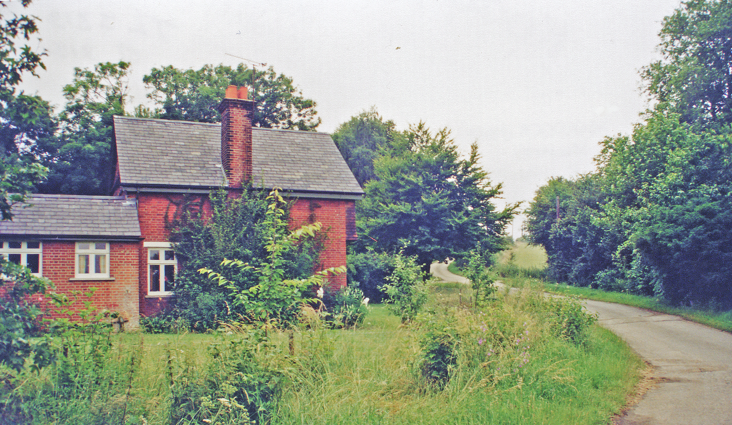
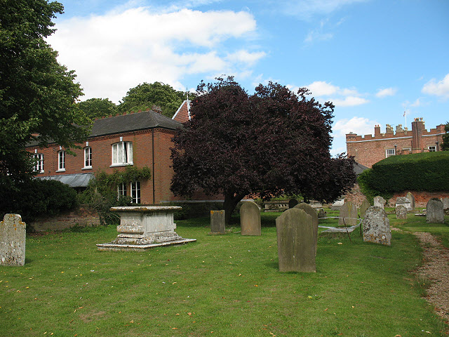
Hull Wood Images
Images are sourced within 2km of 51.816853/0.052610948 or Grid Reference TL4115. Thanks to Geograph Open Source API. All images are credited.


Hull Wood is located at Grid Ref: TL4115 (Lat: 51.816853, Lng: 0.052610948)
Administrative County: Hertfordshire
District: East Hertfordshire
Police Authority: Hertfordshire
What 3 Words
///composers.longer.pines. Near Much Hadham, Hertfordshire
Nearby Locations
Related Wikis

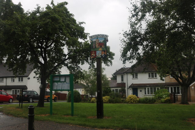
Widford, Hertfordshire
Widford is a village and civil parish between Ware and Much Hadham in the East Hertfordshire district of Hertfordshire in England. It covers an area of...

Widford railway station
Widford railway station served the village of Widford, Hertfordshire, England, from 1863 to 1964 on the Buntingford branch line. == History == The station...
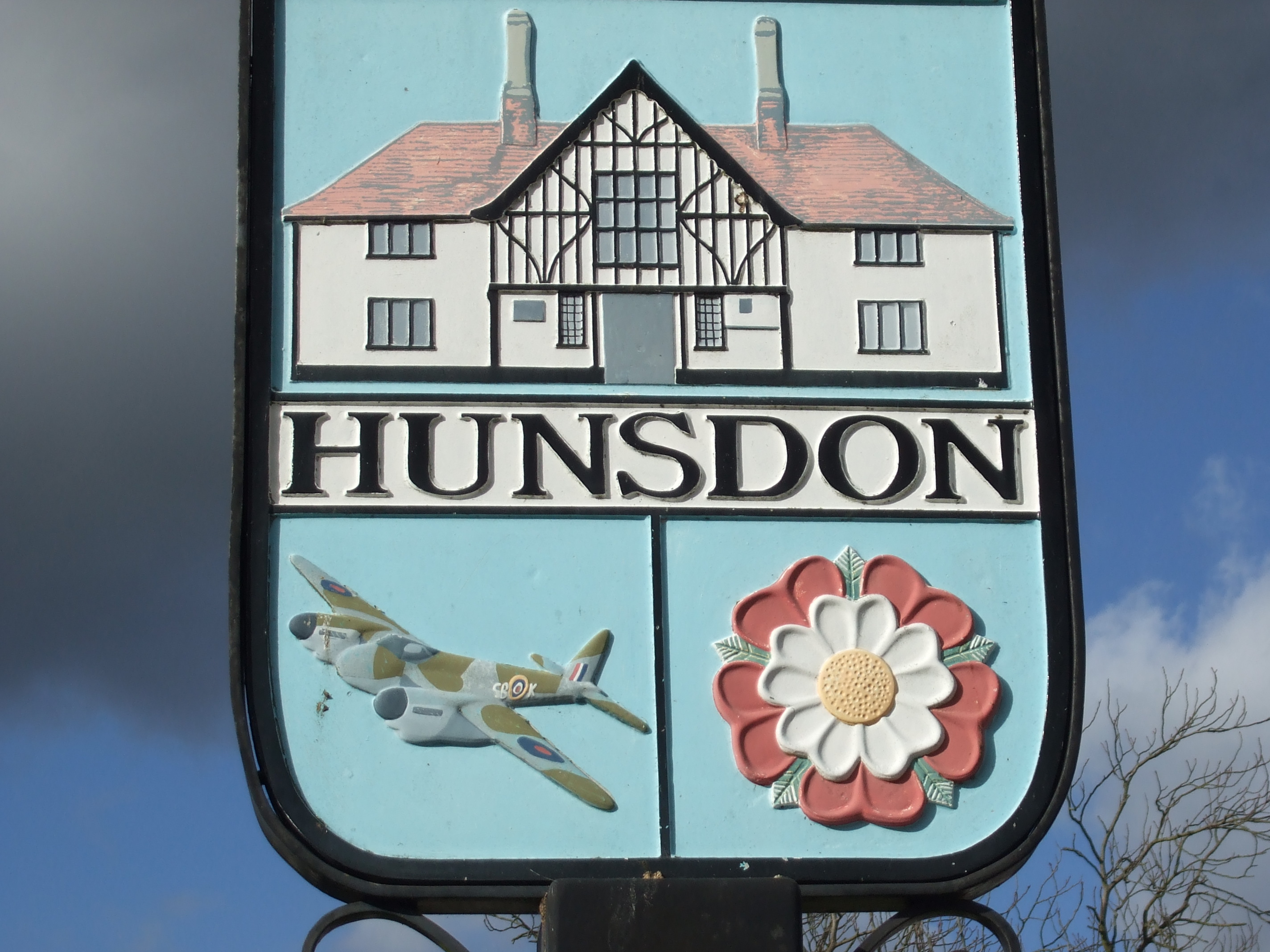
Hunsdon
Hunsdon is a village and civil parish in Hertfordshire, England. It is around 5.5 miles (9 km) east of Ware and 5 miles (8 km) north-west of Harlow. The...
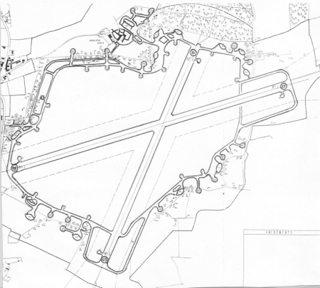
Hunsdon Airfield
Hunsdon Airfield is an airfield near Hunsdon, Hertfordshire and 2.8 miles (4.5 km) north of Harlow, Essex, England. As of 2021, it is used by a local microlight...

Wareside
Wareside is a small village and civil parish in the East Hertfordshire district, in the county of Hertfordshire, England. The population of the civil parish...
Mardock railway station
Mardock railway station served the village of Wareside, Hertfordshire, England, from 1863 to 1964 by the Buntingford branch line. == History == The station...
Hunsdon House
Hunsdon House is a historic house in Hunsdon, Hertfordshire, England, northwest of Harlow. Originally constructed in the 15th century, it was most notably...

Hertford and Stortford (UK Parliament constituency)
Hertford and Stortford is a constituency currently represented in the House of Commons of the UK Parliament since 2019 by Julie Marson of the Conservative...
Nearby Amenities
Located within 500m of 51.816853,0.052610948Have you been to Hull Wood?
Leave your review of Hull Wood below (or comments, questions and feedback).