Barnet Wood

Wood, Forest in Kent

England

Barnet Wood

Real Ale Way - Hayes Micropub in Hayes, Kent
Real Ale Way - Hayes Credit: Neil Carmichael

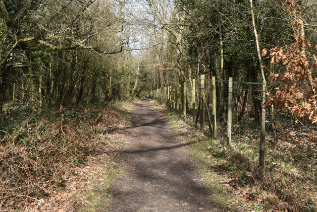
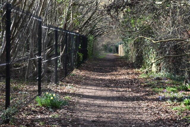
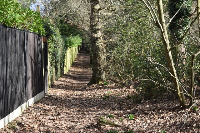
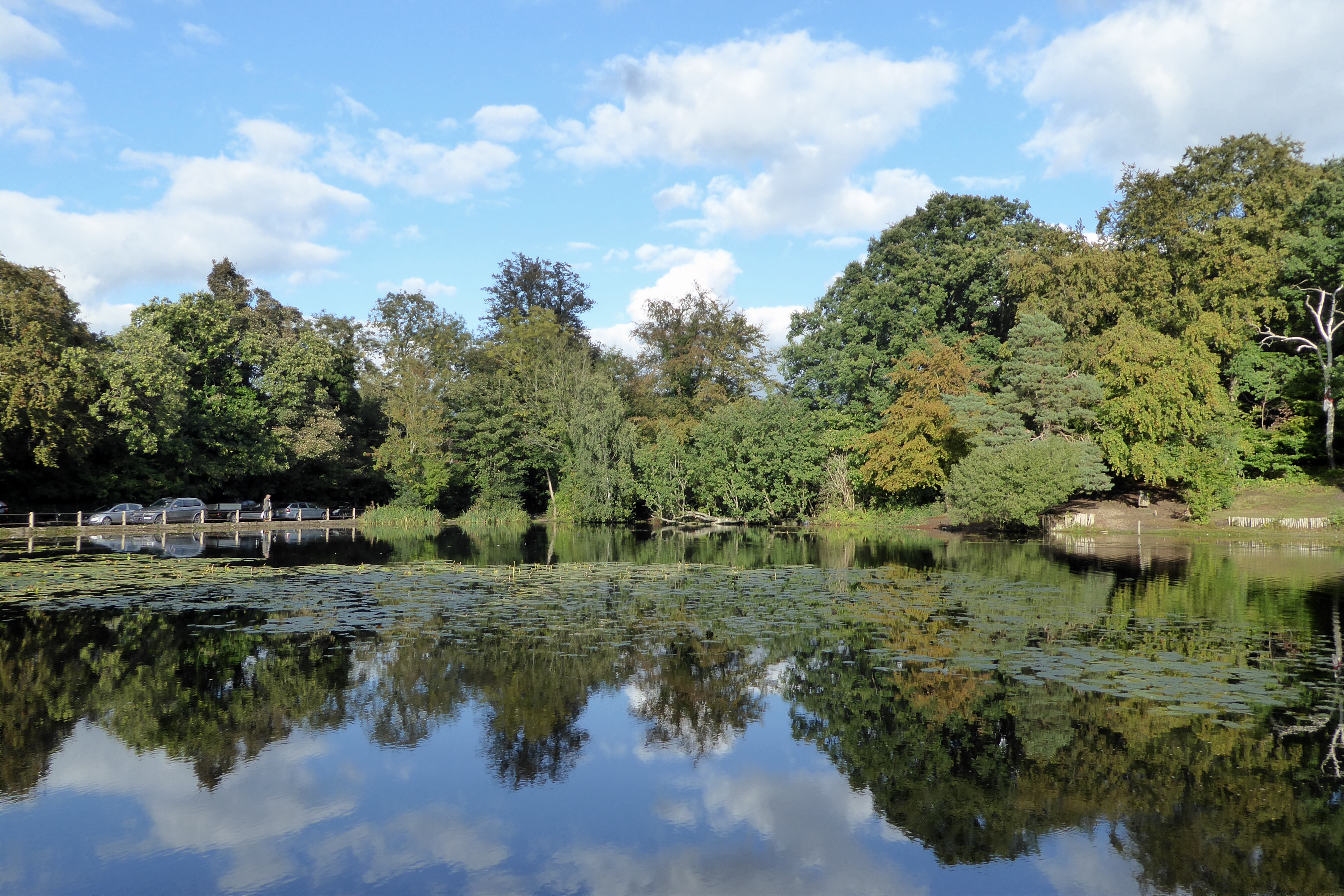
Barnet Wood, located in Kent, England, is a charming woodland area renowned for its natural beauty and rich biodiversity. Spanning approximately 100 acres, it is a designated Local Nature Reserve and a popular destination for nature enthusiasts, hikers, and birdwatchers.

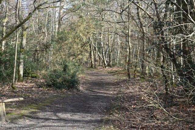
The wood is predominantly composed of broadleaf trees, including oak, ash, birch, and beech, which create a dense canopy overhead, allowing only dappled sunlight to reach the forest floor. This creates a unique microclimate, nurturing a diverse range of plants and wildlife.

Walking through Barnet Wood, visitors will encounter a variety of flora, such as bluebells, primroses, wild garlic, and ferns. The wood is particularly famous for its bluebell displays during spring, attracting photographers and nature lovers alike.

The woodland is also home to an array of wildlife. Birdwatchers can spot species like woodpeckers, nuthatches, and great tits, while lucky visitors may catch a glimpse of deer, foxes, badgers, and squirrels. The wood's tranquil atmosphere and secluded paths make it an ideal habitat for these creatures.

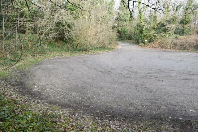
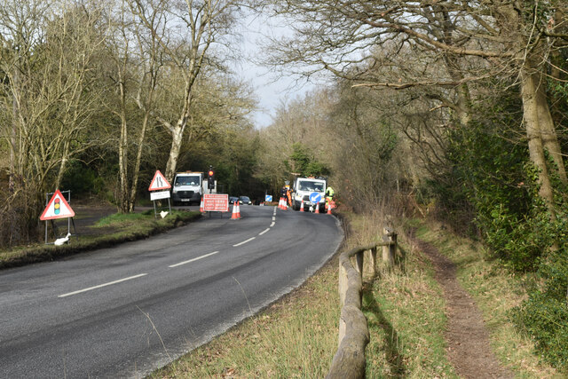
Barnet Wood offers several walking trails, varying in length and difficulty, allowing visitors to explore its unique features at their own pace. The wood is well-maintained, with clear signposts and picnic areas provided for visitors to rest and enjoy the surroundings.

In summary, Barnet Wood is a beautiful and diverse woodland in Kent, offering a peaceful retreat for nature lovers. With its enchanting bluebell displays, diverse wildlife, and well-maintained trails, it provides an immersive experience in the heart of nature.

If you have any feedback on the listing, please let us know in the comments section below.
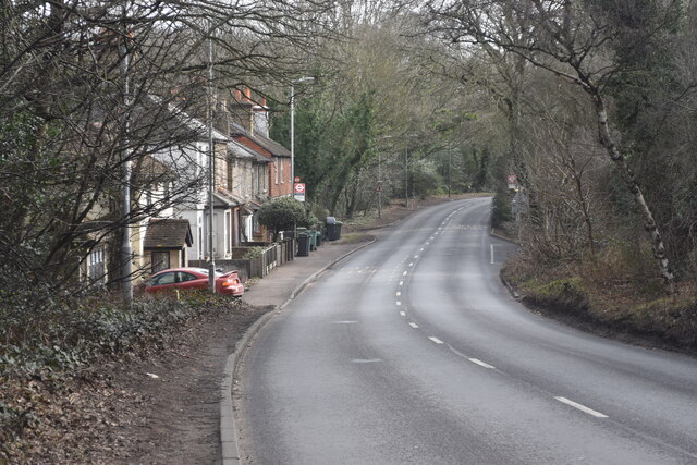
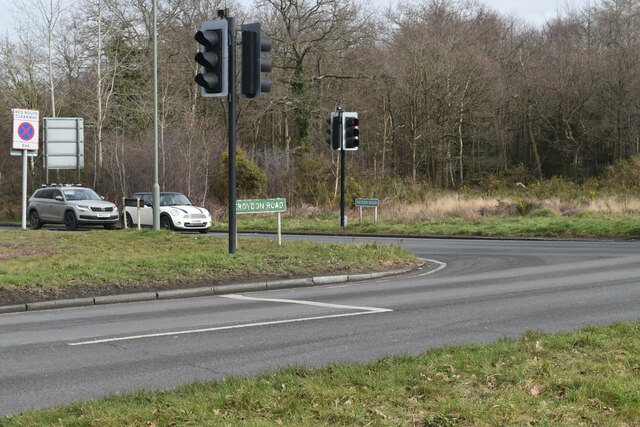
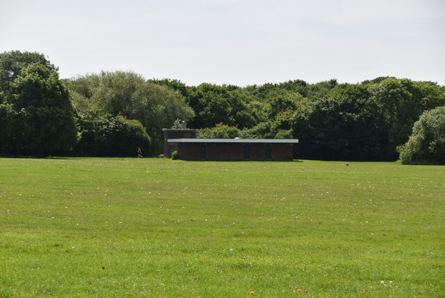
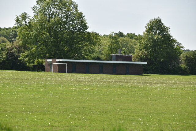
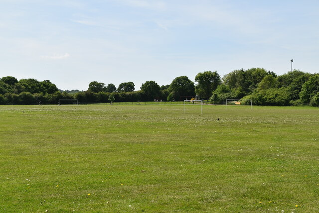
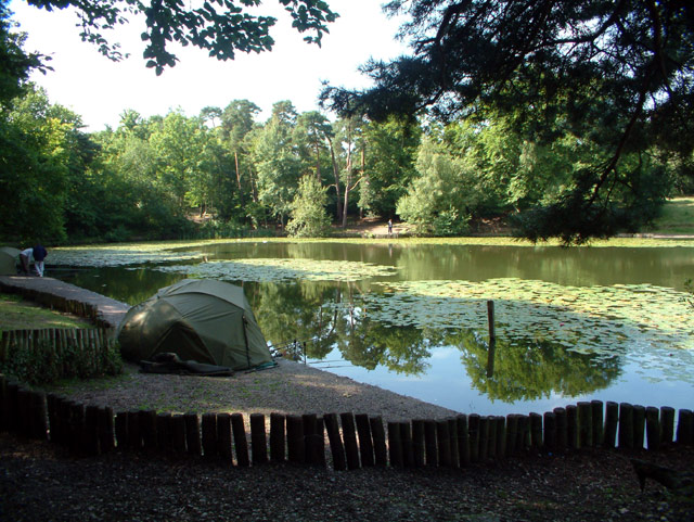
Barnet Wood Images

Images are sourced within 2km of 51.37048/0.032339959 or Grid Reference TQ4165. Thanks to Geograph Open Source API. All images are credited.

Real Ale Way - Hayes Micropub in Hayes, Kent
Real Ale Way - Hayes
Micropub in Hayes, Kent
Tugra restaurant Tugra Turkish restaurant in Hayes, Kent
Tugra restaurant
Tugra Turkish restaurant in Hayes, Kent
Hayes Kebab shop Kebab shop in Hayes, Kent
Hayes Kebab shop
Kebab shop in Hayes, Kent
The Craft Beer rooms The Craft Beer rooms a micropub in Hayes, Kent
The Craft Beer rooms
The Craft Beer rooms a micropub in Hayes, Kent
Croydon Road crossing Hayes Common
Road junction on Hayes Common
Car park on Hayes Common
Roadworks on Barton Manor Road Just outside Baston Manor.
Roadworks on Barton Manor Road
Just outside Baston Manor.
The Fox Inn at Keston
Keston Village sign On the green opposite The Greyhound pub.
Keston Village sign
On the green opposite The Greyhound pub.
Path on Keston Common
London Loop path in the woods near Holwood House
Bridlepath between gardens and woodland at Farnborough
Bridleway at Lake Wood
Old Milestone by A21, Farnborough Common, Locks Bottom, 130m West of Fantail junction The Milestone is located on edge of shrubbery, behind path on the North of the road.  Parish of Bromley (Bromley District). Metal plate attached to stone post, Bromley marker design, erected by the Sevenoaks turnpike trust in the 19th Century. An earlier photograph can be found here: <a title="https://www.geograph.org.uk/photo/6061421" href="https://www.geograph.org.uk/photo/6061421">Link</a>  

Inscription reads:-   
(1 / MILE / TO / FARNBORO)  : : (13 / MILES / TO / LONDON /BRIDGE)

Grade II listed. List Entry Number: 1299025 <span class="nowrap"><a title="https://historicengland.org.uk/listing/the-list/list-entry/1299025" rel="nofollow ugc noopener" href="https://historicengland.org.uk/listing/the-list/list-entry/1299025">Link</a><img style="margin-left:2px;" alt="External link" title="External link - shift click to open in new window" src="https://s1.geograph.org.uk/img/external.png" width="10" height="10"/></span> 

Milestone Society National ID: KE_LBFA13
Old Milestone by A21, Farnborough Common, Locks Bottom, 130m West of Fantail junction
The Milestone is located on edge of shrubbery, behind path on the North of the road.  Parish of Bromley (Bromley District). Metal plate attached to stone post, Bromley marker design, erected by the Sevenoaks turnpike trust in the 19th Century. An earlier photograph can be found here: Link   Inscription reads:- (1 / MILE / TO / FARNBORO) : : (13 / MILES / TO / LONDON /BRIDGE) Grade II listed. List Entry Number: 1299025 LinkExternal link Milestone Society National ID: KE_LBFA13
Norman Park Norman Park is a recreation ground in Bromley.
It has a playground and athletics track, and hosts events such as a music festivals, weekly organised Parkruns and yearly car shows.
A 2 kilometre pathway circles the park making it popular with joggers, cyclists and dog-walkers.
Wikipedia: <span class="nowrap"><a title="https://en.wikipedia.org/wiki/Norman_Park,_Bromley" rel="nofollow ugc noopener" href="https://en.wikipedia.org/wiki/Norman_Park,_Bromley">Link</a><img style="margin-left:2px;" alt="External link" title="External link - shift click to open in new window" src="https://s1.geograph.org.uk/img/external.png" width="10" height="10"/></span>
Norman Park
Norman Park is a recreation ground in Bromley. It has a playground and athletics track, and hosts events such as a music festivals, weekly organised Parkruns and yearly car shows. A 2 kilometre pathway circles the park making it popular with joggers, cyclists and dog-walkers. Wikipedia: LinkExternal link
Show me another place!

Barnet Wood is located at Grid Ref: TQ4165 (Lat: 51.37048, Lng: 0.032339959)

Unitary Authority: Bromley

Police Authority: Metropolitan

What 3 Words

///mining.cheek.hills. Near Farnborough, London

Nearby Locations

Colyers Wood Barnet Wood

Related Wikis

Ravens Wood School

Ravens Wood School, formerly Bromley Technical High School, located in Keston, London Borough of Bromley, England, is an all-boys school. The sixth form...

Holmesdale F.C.

Holmesdale Football Club is a football club originally based in South Norwood, London, England. Affiliated to the Kent County Football Association, they...

Hayes Common

Hayes Common is a 79-Hectare (195 acre) area of public open land in Hayes in the London Borough of Bromley. It is owned and managed by Bromley Council...
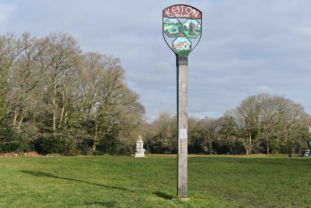
Keston

Keston is a village in Greater London, England, located within the London Borough of Bromley, Greater London. Prior to 1965 it was within the historic...

Hayes School

Hayes School is a mixed secondary school with academy status located in the suburb of Hayes within the London Borough of Bromley. The school has approximately...

Hayes, Bromley

Hayes is a suburban area of southeast London, England and part of the London Borough of Bromley. It is located 11 miles (18 km) south-east of Charing Cross...

St Mary the Virgin, Hayes, Bromley

St Mary the Virgin is a Gothic church in South London, built in the 12th century but with notable Gothic Revival modifications and additions in the mid...

Keston Common

Keston Common is a 55 hectare area of public open space in Keston in the London Borough of Bromley. Most of it is heathland and dry acid grassland on the...

Nearby Amenities

Located within 500m of 51.37048,0.032339959
Bus Stop
Baston Road
Bus: yes
Local Ref: KN
Naptan AtcoCode: 490003675E
Naptan Bearing: E
Naptan CommonName: Baston Road
Naptan Indicator: Stop KN
Naptan Street: CROYDON ROAD
Naptan Verified: no
Public Transport: platform
Ref: 57126
Shelter: no
Source Ref: naptan
Lat/Long: 51.3677993/0.0273932
Bus Stop
Baston Road
Bus: yes
Local Ref: KV
Naptan AtcoCode: 490003675W
Naptan Bearing: W
Naptan CommonName: Baston Road
Naptan Indicator: Stop KV
Naptan Street: CROYDON ROAD
Naptan Verified: no
Public Transport: platform
Ref: 51518
Shelter: no
Source Ref: naptan
Lat/Long: 51.3676845/0.0276219
Bus Stop
Gravel Road
Local Ref: WY
Naptan AtcoCode: 490007387N
Naptan Bearing: N
Naptan CommonName: Gravel Road
Naptan Indicator: Stop WY
Naptan Street: OAKLEY ROAD
Naptan Verified: no
Public Transport: platform
Lat/Long: 51.3702167/0.0390933
Bus Stop
Gravel Road
Local Ref: WA
Naptan AtcoCode: 490007387S
Naptan Bearing: S
Naptan CommonName: Gravel Road
Naptan Indicator: Stop WA
Naptan Street: OAKLEY ROAD
Naptan Verified: no
Public Transport: platform
Lat/Long: 51.3707024/0.0392972
Bus Stop
Phoenix Drive
Bench: no
Bin: yes
Lit: yes
Local Ref: KP
Naptan AtcoCode: 490010989E
Naptan Bearing: E
Naptan CommonName: Phoenix Drive
Naptan Indicator: Stop KP
Naptan Street: CROYDON ROAD
Naptan Verified: no
Public Transport: platform
Shelter: no
Tactile Paving: no
Lat/Long: 51.3674467/0.035977
Kerb: raised
Lat/Long: 51.3669505/0.0312174
Barrier: kissing_gate
Lat/Long: 51.3668603/0.031318
Entrance: yes
Lat/Long: 51.3694294/0.0358457
Crossing
Crossing: uncontrolled
Crossing Ref: zebra
Lat/Long: 51.3693342/0.0369951
Entrance: yes
Lat/Long: 51.3689335/0.0357894
Entrance: yes
Lat/Long: 51.3687631/0.0363871
Entrance: emergency
Lat/Long: 51.3687801/0.0357489
Entrance: yes
Lat/Long: 51.3695037/0.0351564
Entrance: yes
Lat/Long: 51.3692199/0.0355047
Entrance: yes
Lat/Long: 51.3692373/0.034965
Entrance: yes
Lat/Long: 51.3693564/0.0349848
Entrance: yes
Lat/Long: 51.369066/0.0349528
Entrance: yes
Lat/Long: 51.368681/0.0352571
Entrance: yes
Lat/Long: 51.3687803/0.0352881
Entrance: yes
Lat/Long: 51.3690907/0.0355786
Entrance: main
Lat/Long: 51.3692944/0.0359165
Entrance: exit
Lat/Long: 51.369207/0.0369577
Entrance: yes
Lat/Long: 51.3696976/0.0356347
Entrance: yes
Lat/Long: 51.3697049/0.0355124
Entrance: yes
Lat/Long: 51.3697057/0.0354625
Entrance: yes
Lat/Long: 51.3697065/0.0354147
Entrance: yes
Lat/Long: 51.3697073/0.035362
Entrance: service
Lat/Long: 51.3696771/0.035308
Entrance: emergency
Lat/Long: 51.3696469/0.034945
Entrance: emergency
Lat/Long: 51.3695178/0.035054
Entrance: yes
Lat/Long: 51.3693948/0.035321
Entrance: emergency
Lat/Long: 51.3691988/0.035249
Entrance: emergency
Lat/Long: 51.3688504/0.0351832
Entrance: emergency
Lat/Long: 51.3687423/0.03514
Entrance: emergency
Lat/Long: 51.3686179/0.0351174
Entrance: emergency
Lat/Long: 51.3686095/0.0353204
Entrance: yes
Lat/Long: 51.3686476/0.0355897
Entrance: yes
Lat/Long: 51.3689043/0.0354156
Entrance: service
Lat/Long: 51.3688252/0.0354311
Entrance: yes
Lat/Long: 51.3691447/0.0354575
Entrance: yes
Lat/Long: 51.3686695/0.035732
Entrance: yes
Lat/Long: 51.3690756/0.0365323
Entrance: yes
Lat/Long: 51.3691232/0.0366956
Entrance: emergency
Lat/Long: 51.3692975/0.036444
Entrance: emergency
Lat/Long: 51.3692996/0.0362959
Entrance: service
Lat/Long: 51.3696681/0.035742
Entrance: service
Lat/Long: 51.369667/0.0358128
Entrance: staircase
Lat/Long: 51.3696941/0.0361115
Entrance: yes
Lat/Long: 51.3696867/0.0364363
Entrance: yes
Lat/Long: 51.369689/0.0363335
Entrance: yes
Lat/Long: 51.369483/0.0365535
Entrance: yes
Lat/Long: 51.3694891/0.0362191
Entrance: service
Lat/Long: 51.3696741/0.0360128
Entrance: yes
Lat/Long: 51.3695031/0.0360083
Entrance: yes
Lat/Long: 51.369236/0.0353431
Entrance: yes
Lat/Long: 51.3692473/0.0354471
Crossing
Crossing: uncontrolled
Crossing Ref: zebra
Lat/Long: 51.3696146/0.0391546
Give Way
Direction: backward
Lat/Long: 51.3692859/0.0391844
Give Way
Direction: forward
Lat/Long: 51.3673883/0.0358885
Give Way
Direction: backward
Lat/Long: 51.3665423/0.0358006
Give Way
Direction: forward
Lat/Long: 51.3675206/0.0353937
Traffic Calming: island
Lat/Long: 51.3693074/0.0392474
The data included in this document is from www.openstreetmap.org. The data is made available under ODbL.

Have you been to Barnet Wood?

Leave your review of Barnet Wood below (or comments, questions and feedback).