Rushey Plain
Wood, Forest in Essex Epping Forest
England
Rushey Plain

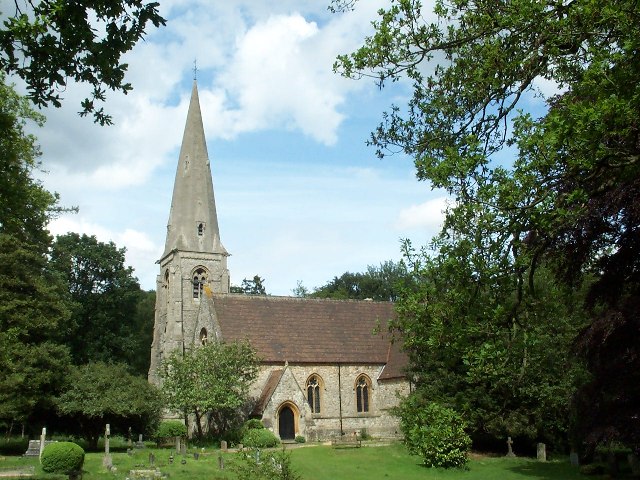
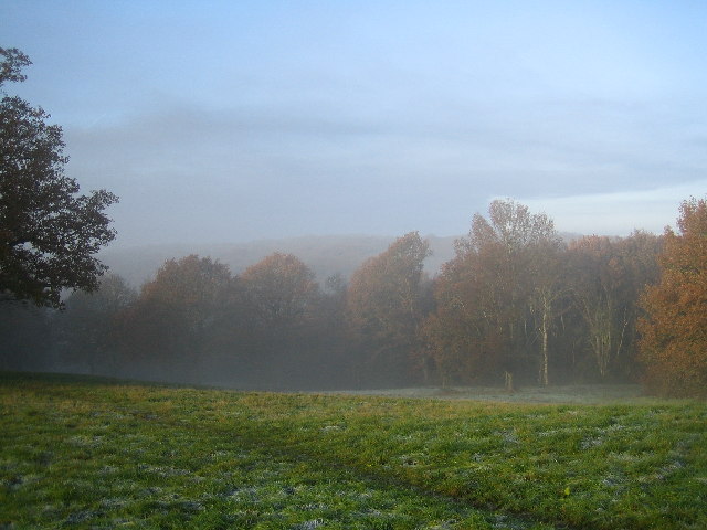
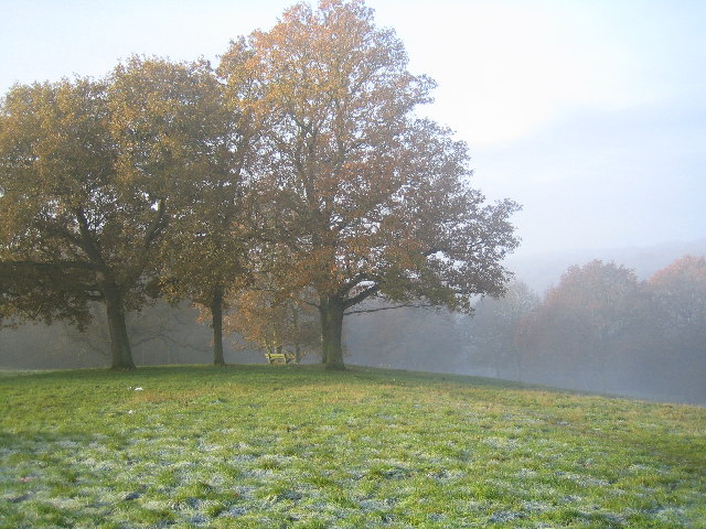
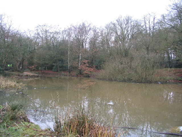
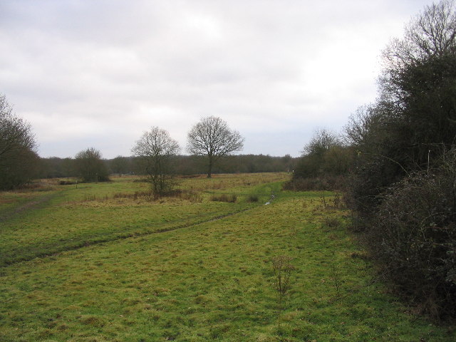
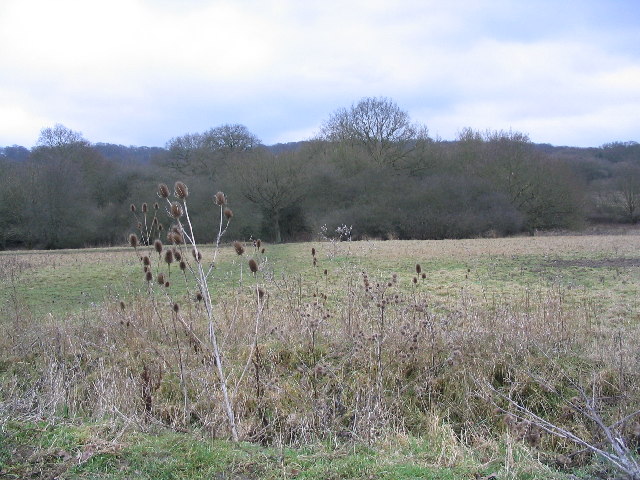
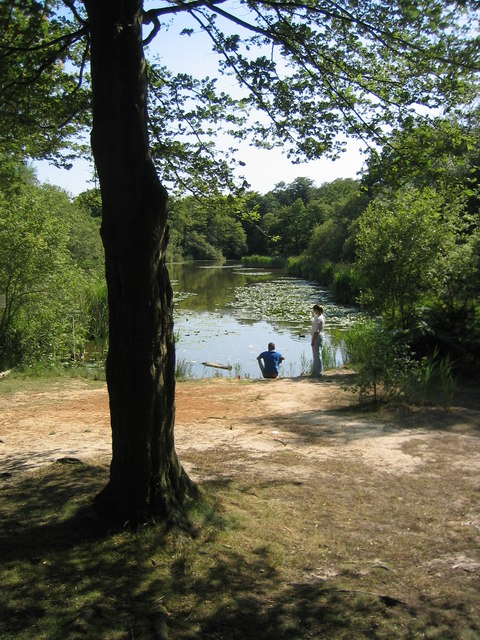
Rushey Plain is a picturesque woodland area located in Essex, England. Stretching over approximately 200 acres, this forested plain is renowned for its natural beauty and abundant wildlife. The plain is situated within the larger Epping Forest, which is a designated Site of Special Scientific Interest.
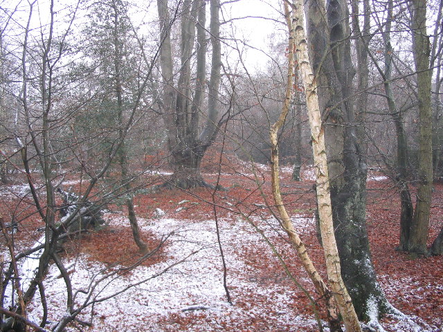
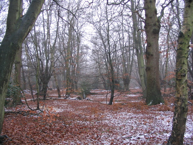
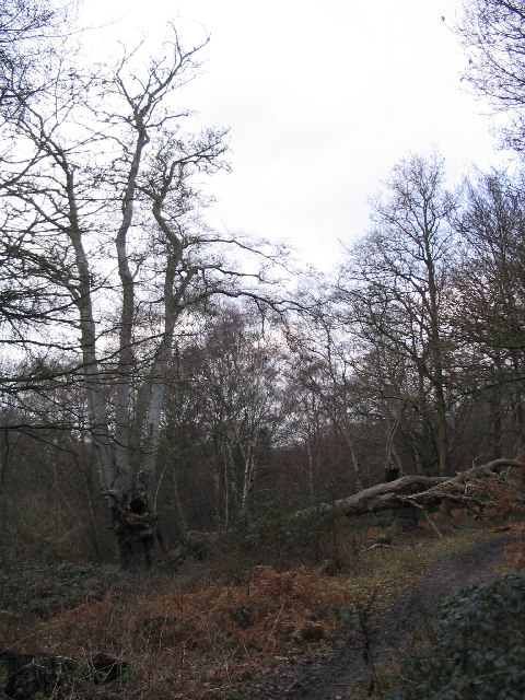
The woodland is predominantly composed of oak and beech trees, intermingled with other native British species such as birch, hornbeam, and holly. The dense canopy provides a serene and tranquil atmosphere, making it a popular destination for nature lovers, hikers, and birdwatchers.
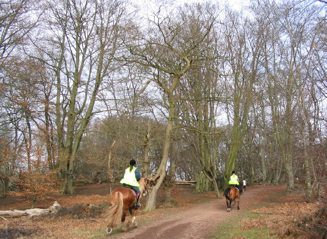
Rushey Plain offers a variety of walking trails, allowing visitors to explore the area's diverse flora and fauna. The forest floor is adorned with bluebells and other wildflowers during the spring, creating a vibrant and colorful landscape. The area is also home to a diverse range of wildlife, including deer, foxes, badgers, and a variety of bird species. Bird enthusiasts may spot woodpeckers, song thrushes, and tawny owls among the treetops.
This woodland retreat provides a peaceful escape from the hustle and bustle of urban life. It is a cherished local gem, attracting both locals and tourists alike. The forest is managed by the City of London Corporation, which ensures the preservation of the natural habitat while allowing visitors to enjoy its beauty responsibly.
Overall, Rushey Plain in Essex offers a unique opportunity to immerse oneself in the tranquility of nature, surrounded by ancient woodlands and flourishing wildlife.
If you have any feedback on the listing, please let us know in the comments section below.
Rushey Plain Images
Images are sourced within 2km of 51.66646/0.04304345 or Grid Reference TQ4198. Thanks to Geograph Open Source API. All images are credited.


Rushey Plain is located at Grid Ref: TQ4198 (Lat: 51.66646, Lng: 0.04304345)
Administrative County: Essex
District: Epping Forest
Police Authority: Essex
What 3 Words
///nights.invest.sugars. Near Theydon Bois, Essex
Nearby Locations
Related Wikis
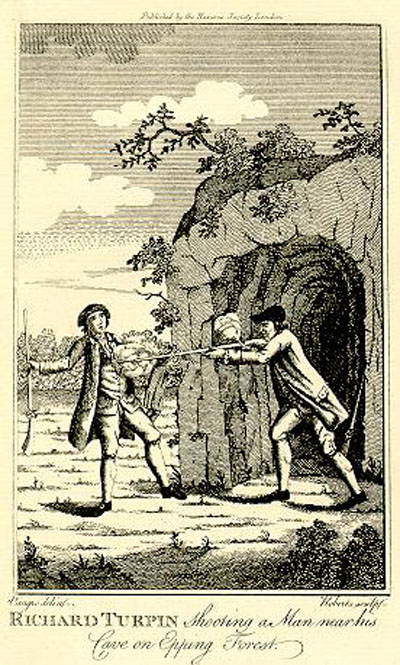
Turpin's Cave
Turpin's Cave is an area of Epping Forest in Essex which has been attributed as a hiding place of the highwayman Dick Turpin. Dick Turpin knew Epping...

Great Monk Wood
Great Monk Wood is a wood within Epping Forest, in Essex, England. The wood, in the parish of Loughton, is centred on the Wakes Arms junction roundabout...

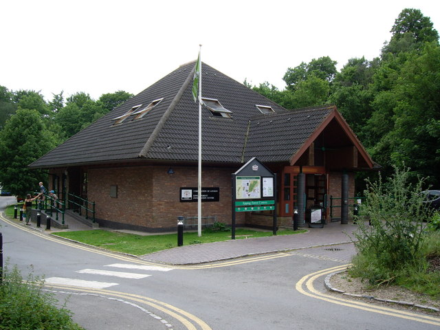
Epping Forest
Epping Forest is a 2,400-hectare (5,900-acre) area of ancient woodland, and other established habitats, which straddles the border between Greater London...

High Beach
High Beach (or High Beech) is a village inside Epping Forest in south-west Essex, England. Part of the civil parish of Waltham Abbey, the village is within...

Loughton Camp
Loughton Camp is an Iron Age (~500 BC) Hill fort in Epping Forest, one mile (1.6 km) northwest of the town of Loughton. The camp's earthworks cover an...

A121 road (England)
The A121 road is a road in England connecting Waltham Cross and Woodford Wells. == Major settlements == The main settlements on it are Waltham Abbey and...

Lippitts Hill
Lippitts Hill is a hill located in Epping Forest at High Beach, Waltham Abbey. It has played several historic roles in the defence and policing of London...
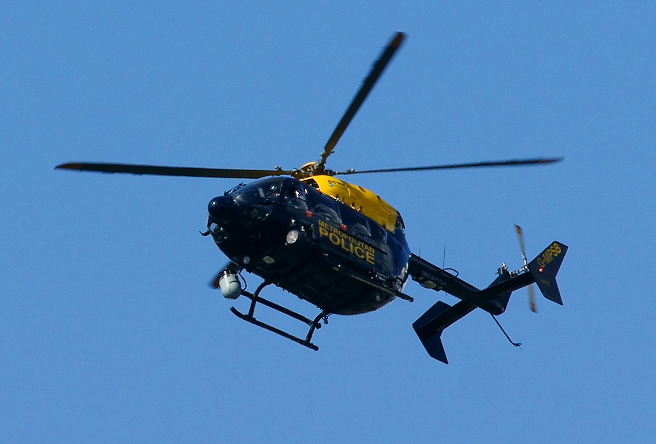
Air Support Unit (Metropolitan Police)
The Air Support Unit (ASU) was a Central Operations branch of London's Metropolitan Police Service. The main responsibility of the unit was to provide...
Nearby Amenities
Located within 500m of 51.66646,0.04304345Have you been to Rushey Plain?
Leave your review of Rushey Plain below (or comments, questions and feedback).