Madingley Wood

Wood, Forest in Cambridgeshire South Cambridgeshire

England

Madingley Wood

Madingley, St Mary Magdalene <span class="nowrap"><a title="http://www.druidic.org/camchurch/churches/madingley.htm" rel="nofollow ugc noopener" href="http://www.druidic.org/camchurch/churches/madingley.htm">Link</a><img style="margin-left:2px;" alt="External link" title="External link - shift click to open in new window" src="https://s1.geograph.org.uk/img/external.png" width="10" height="10"/></span>
Madingley, St Mary Magdalene Credit: mym

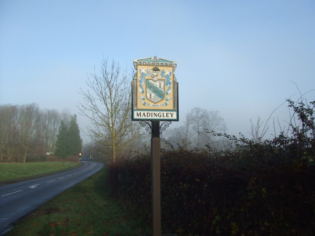
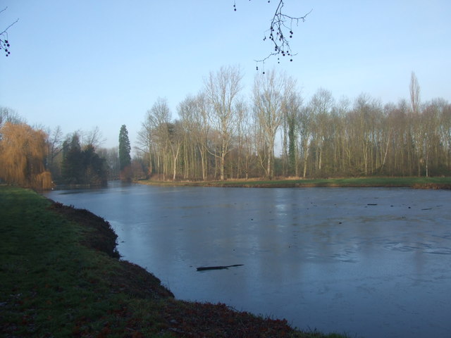
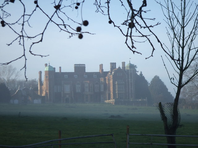
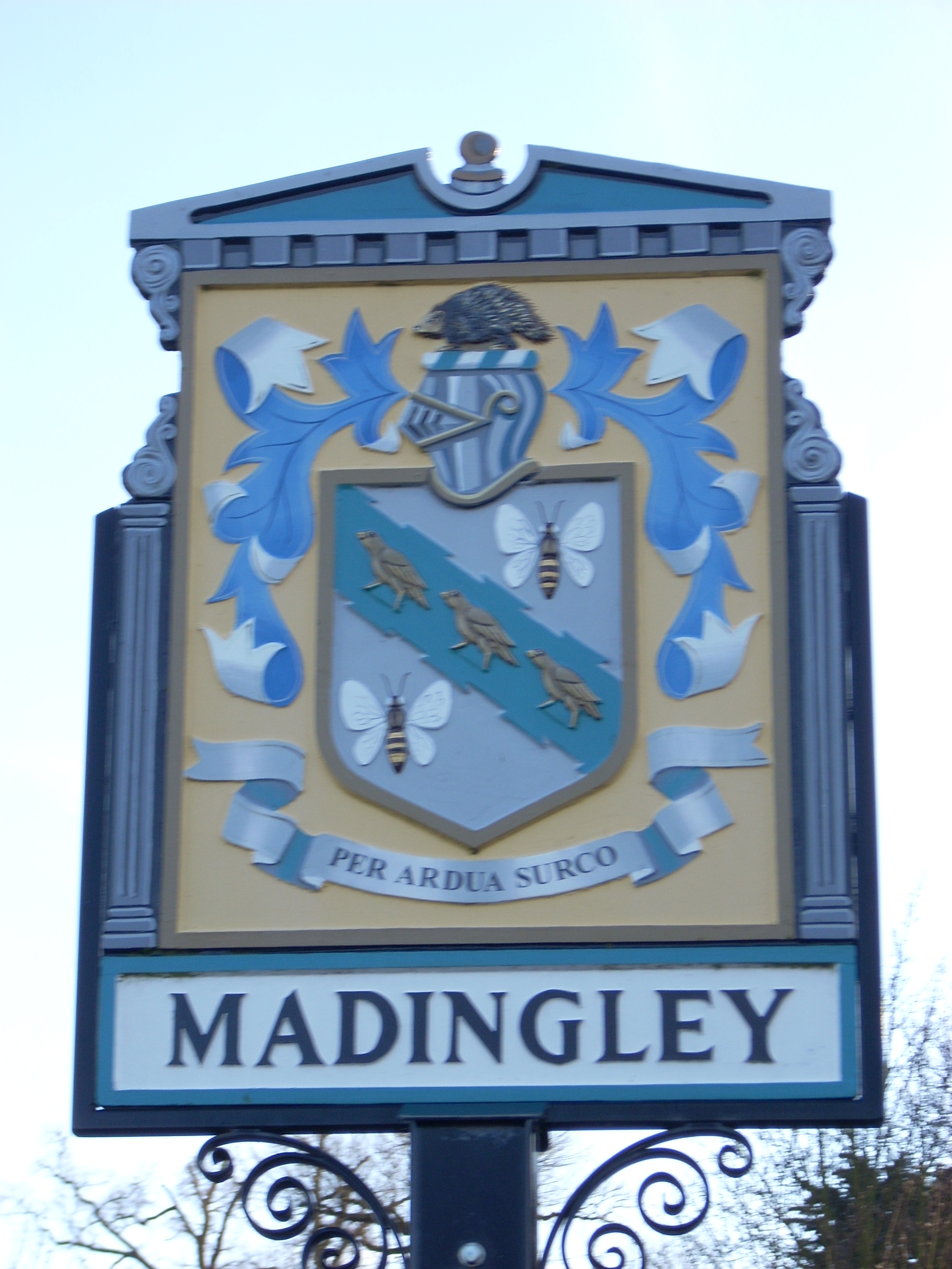
Madingley Wood is a beautiful woodland located in the county of Cambridgeshire, England. It covers an area of approximately 30 acres and is situated on the outskirts of the village of Madingley. The wood is known for its diverse range of trees, including oak, beech, birch, and hawthorn, which provide a rich and varied habitat for wildlife.

The woodland is managed by the Wildlife Trust, who work to maintain its natural beauty and preserve its ecological importance. Visitors to Madingley Wood can enjoy a peaceful and tranquil environment, perfect for walking, bird-watching, and exploring nature.

The wood is home to a wide variety of bird species, including woodpeckers, jays, and tawny owls, making it a popular spot for bird enthusiasts. Additionally, the woodland floor is adorned with beautiful wildflowers during the spring and summer months, attracting butterflies and other insects.

Madingley Wood is also steeped in history, with remnants of ancient woodland still visible in some areas. It is believed that the wood has been in existence for hundreds of years, and it is mentioned in the Domesday Book of 1086.

The wood is easily accessible by foot, with several footpaths leading to and through the woodland. There is also a small car park nearby for those arriving by car. Madingley Wood is a true gem of Cambridgeshire, offering a peaceful retreat and a chance to connect with nature.

If you have any feedback on the listing, please let us know in the comments section below.

Madingley Wood Images

Images are sourced within 2km of 52.217382/0.048718481 or Grid Reference TL4059. Thanks to Geograph Open Source API. All images are credited.

Madingley, St Mary Magdalene <span class="nowrap"><a title="http://www.druidic.org/camchurch/churches/madingley.htm" rel="nofollow ugc noopener" href="http://www.druidic.org/camchurch/churches/madingley.htm">Link</a><img style="margin-left:2px;" alt="External link" title="External link - shift click to open in new window" src="https://s1.geograph.org.uk/img/external.png" width="10" height="10"/></span>
Madingley, St Mary Magdalene
“Things You’d Not Believe in Madingley” Not something you see everyday, a thatched village hall. I wonder if Rupert Brooke ever went to a wild party there one Christmas eve? Probably not…see <span class="nowrap"><a title="http://www.poetsgraves.co.uk/Classic%20Poems/Brooke/grantchester.htm" rel="nofollow ugc noopener" href="http://www.poetsgraves.co.uk/Classic%20Poems/Brooke/grantchester.htm">Link</a><img style="margin-left:2px;" alt="External link" title="External link - shift click to open in new window" src="https://s1.geograph.org.uk/img/external.png" width="10" height="10"/></span> to catch the full quote.
“Things You’d Not Believe in Madingley”
Not something you see everyday, a thatched village hall. I wonder if Rupert Brooke ever went to a wild party there one Christmas eve? Probably not…see LinkExternal link to catch the full quote.
Farmland and cottages, Madingley, Cambs – view NW, from the bridlepath, of New Farm and cottages on the Dry Drayton Road.
Farmland and cottages, Madingley, Cambs
– view NW, from the bridlepath, of New Farm and cottages on the Dry Drayton Road.
Track from New Farm to Park Farm This track lies adjacent to the long shelter bed planted at the boundary of the original Madingley Hall estate.
Track from New Farm to Park Farm
This track lies adjacent to the long shelter bed planted at the boundary of the original Madingley Hall estate.
Scratch sundial on Madingley church This dial is located on the outside East wall of the chancel (a location where it could never have worked and therefore must have been moved at some point).
Scratch sundial on Madingley church
This dial is located on the outside East wall of the chancel (a location where it could never have worked and therefore must have been moved at some point).
Madingley Hall in the mist
Madingley village sign
Madingley Hall, the iron gates
Madingley village mini roundabout
Madingley Hall, the lake The lake was frozen, with the Sun just starting to break through the mist.
Madingley Hall, the lake
The lake was frozen, with the Sun just starting to break through the mist.
Madingley Hall,  East Front
Madingley Hall, East Front
Bridleway from Madingley to the Huntingdon Road There are some very fine trees along the field edge.  They probably mark a boundary of the Madingley estate in former years.
Bridleway from Madingley to the Huntingdon Road
There are some very fine trees along the field edge. They probably mark a boundary of the Madingley estate in former years.
Church of St Mary Magdalene, Madingley
Madingley Hall, East front
Madingley Hall, path and grounds
Madingley Hall, walk and grounds
Show me another place!

Madingley Wood is located at Grid Ref: TL4059 (Lat: 52.217382, Lng: 0.048718481)

Administrative County: Cambridgeshire

District: South Cambridgeshire

Police Authority: Cambridgeshire

What 3 Words

///woods.much.down. Near Girton, Cambridgeshire

Nearby Locations

Madingley Wood

Related Wikis

Madingley Wood

Madingley Wood is a 15.4-hectare (38-acre) biological Site of Special Scientific Interest near Madingley, on the western outskirts of Cambridge.The western...

Cambridge American Cemetery and Memorial

Cambridge American Cemetery and Memorial is a World War II American military war grave cemetery, located between the villages of Coton and Madingley, 7...

Madingley

Madingley is a small village near Cambridge, England. It is located close to the nearby villages of Coton and Dry Drayton on the western outskirts of Cambridge...

University of Cambridge Institute of Continuing Education

The University of Cambridge Institute of Continuing Education (ICE) is a department of the University of Cambridge dedicated to providing continuing education...

Nearby Amenities

Located within 500m of 52.217382,0.048718481
Bus Stop
American Cemetery
Bus: yes
Local Ref: OS
Naptan AtcoCode: 0500SMADI010
Naptan Bearing: E
Naptan BusStopType: CUS
Naptan CommonName: American Cemetery
Naptan Indicator: o/s
Naptan Landmark: American Cemetery
Naptan NaptanCode: CMBGJMDA
Naptan PlusbusZoneRef: CAMBDGE
Naptan ShortCommonName: American Cemetery
Naptan Street: Madingley Road
Naptan Verified: no
Operator: City Sightseeing
Public Transport: platform
Ref: 19
Source: naptan_import;survey
Lat/Long: 52.2156463/0.0538629
Information: office
Tourism: information
Lat/Long: 52.2158048/0.0536289
Parking
Source: dictaphone
Type: unseparated lay-by
Lat/Long: 52.2193787/0.0436958
Fixme: Medium-sized area of farm; trace from Yahoo! aerials
Landuse: farm
Note Retag: CS #48756035
Source: aerials
Lat/Long: 52.2166598/0.0422863
Barrier: kissing_gate
Lat/Long: 52.2197156/0.0516176
Bicycle Parking
Capacity: 12
Lat/Long: 52.2211171/0.0488796
Parking
Lat/Long: 52.2149975/0.0514755
800 Wood
Information: board
Tourism: information
Lat/Long: 52.2197108/0.0515537
Information: board
Tourism: information
Lat/Long: 52.2210808/0.0489955
Country: US
Flag Type: national
Flag Wikidata: Q42537
Man Made: flagpole
Lat/Long: 52.2161352/0.0538477
Bench
Lat/Long: 52.2186399/0.0535007
Information: board
Tourism: information
Lat/Long: 52.2187733/0.0462327
Bench
Lat/Long: 52.2197454/0.046471
Bench
Lat/Long: 52.2197076/0.046412
Bench
Lat/Long: 52.2194003/0.046023
Bench
Lat/Long: 52.2193689/0.0499844
Bicycle Parking
Access: yes
Bicycle Parking: stands
Capacity: 8
Covered: no
Fee: no
Lat/Long: 52.2157368/0.0540703
Power: pole
Source: Maxar
Lat/Long: 52.2171488/0.0438327
Power: pole
Source: Maxar
Lat/Long: 52.2171652/0.0423628
Bench
Lat/Long: 52.218903/0.0473799
Barrier: kissing_gate
Lat/Long: 52.2210985/0.0490421
Bench
Lat/Long: 52.2209372/0.0487357
Information: board
Tourism: information
Lat/Long: 52.2201483/0.0475267
Information: guidepost
Tourism: information
Lat/Long: 52.2154732/0.0549052
The data included in this document is from www.openstreetmap.org. The data is made available under ODbL.

Have you been to Madingley Wood?

Leave your review of Madingley Wood below (or comments, questions and feedback).