Brown Spinney
Wood, Forest in Cambridgeshire South Cambridgeshire
England
Brown Spinney
Brown Spinney is a picturesque woodland area located in the county of Cambridgeshire, England. Spanning approximately 50 acres, it is known for its abundant wildlife, diverse flora, and tranquil atmosphere. The name "Spinney" refers to a small area of woodland, typically consisting of small trees or bushes, and Brown Spinney lives up to this description.
The woodland is predominantly composed of a mix of broadleaf trees, including oak, birch, and beech, which provide a rich tapestry of colors throughout the year. In spring, the forest floor is adorned with carpets of bluebells, while in autumn, the foliage transforms into a vibrant palette of reds, oranges, and yellows.
Home to a wide range of wildlife, Brown Spinney is a haven for nature enthusiasts. Visitors may spot various bird species, such as great tits, woodpeckers, and nuthatches, flitting among the branches. The woodland is also inhabited by mammals like foxes, badgers, and deer, which can occasionally be observed in their natural habitat.
The peaceful ambiance of Brown Spinney makes it an ideal spot for leisurely walks, picnics, and nature exploration. Several paths wind their way through the woodland, offering scenic routes for visitors to immerse themselves in the beauty of the surroundings. The area is well-maintained, with benches and picnic tables available for visitors to rest and enjoy the tranquility.
Overall, Brown Spinney in Cambridgeshire is a captivating woodland retreat, where visitors can escape the hustle and bustle of everyday life and connect with nature's wonders.
If you have any feedback on the listing, please let us know in the comments section below.
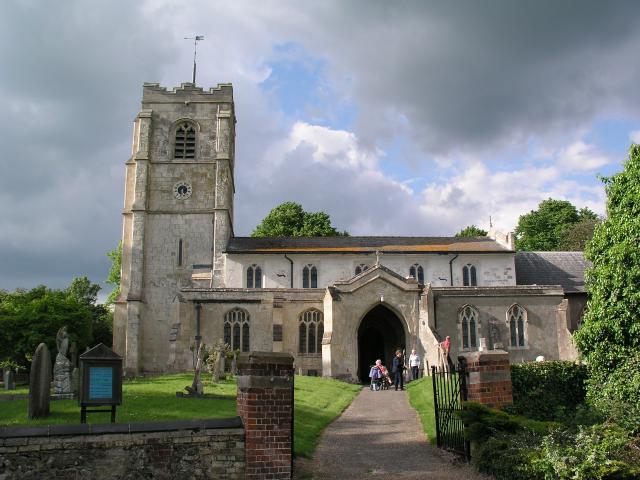
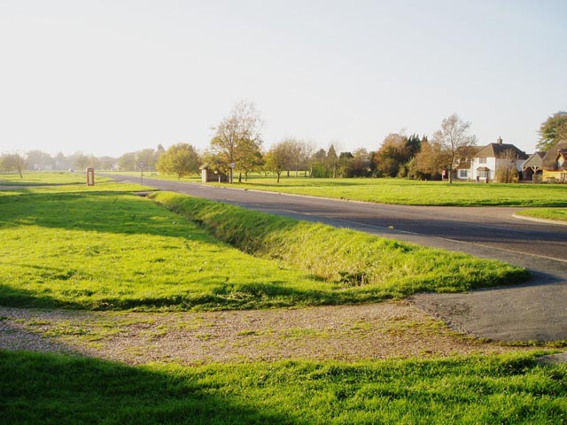
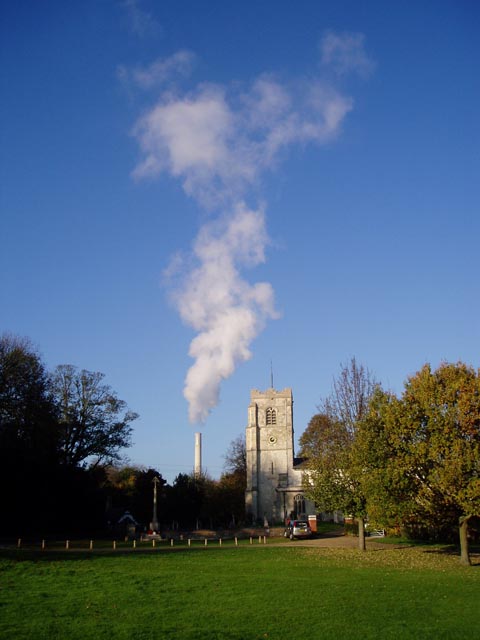
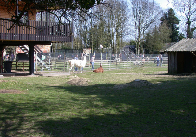
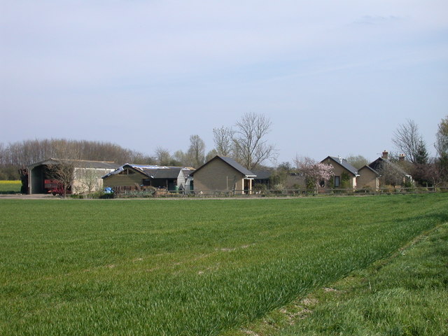
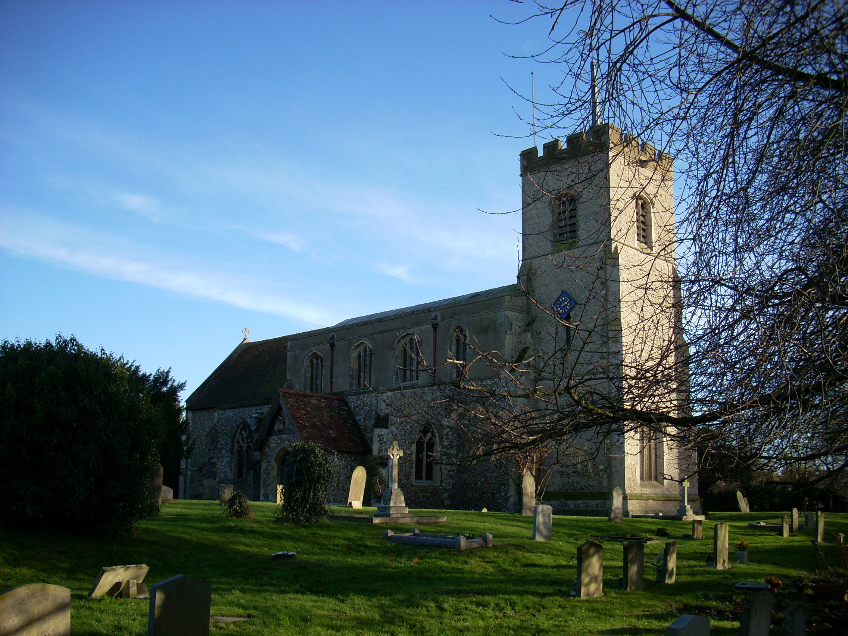
Brown Spinney Images
Images are sourced within 2km of 52.112427/0.043654633 or Grid Reference TL4047. Thanks to Geograph Open Source API. All images are credited.


Brown Spinney is located at Grid Ref: TL4047 (Lat: 52.112427, Lng: 0.043654633)
Administrative County: Cambridgeshire
District: South Cambridgeshire
Police Authority: Cambridgeshire
What 3 Words
///hospitals.sideburns.vans. Near Fowlmere, Cambridgeshire
Nearby Locations
Related Wikis

Shepreth
Shepreth is a small village and civil parish in South Cambridgeshire, lying halfway between Cambridge and Royston. == History == The parish of Shepreth...

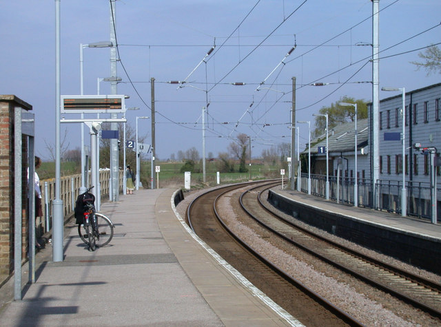
Shepreth railway station
Shepreth railway station serves the village of Shepreth in Cambridgeshire, England. The station is on the Cambridge Line, 49 miles 67 chains (49.84 miles...
Foxton, Cambridgeshire
Foxton is a small village in South Cambridgeshire, England. It has a number of well-preserved fifteenth- and sixteenth-century houses, and a thirteenth...
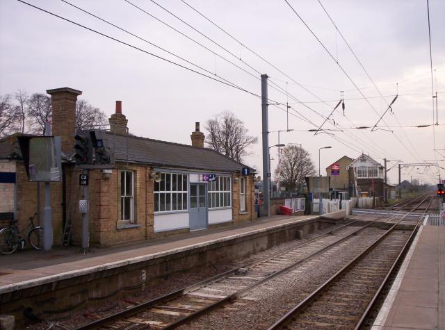
Foxton railway station
Foxton railway station serves the village of Foxton in Cambridgeshire, England. It is 50 miles 77 chains (50.96 miles, 82.02 km) from London King's Cross...
Nearby Amenities
Located within 500m of 52.112427,0.043654633Have you been to Brown Spinney?
Leave your review of Brown Spinney below (or comments, questions and feedback).