Bluehouse Grove

Wood, Forest in Essex

England

Bluehouse Grove

Chingford Station
Chingford Station Credit: Mark Percy

Bluehouse Grove is a picturesque residential area located in Essex, England. Nestled amidst the natural beauty of woodlands and forests, this tranquil neighborhood offers a peaceful retreat from the hustle and bustle of city life. Situated in close proximity to the town of Chigwell, Bluehouse Grove benefits from its convenient location while still maintaining a sense of seclusion and privacy.

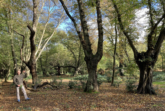
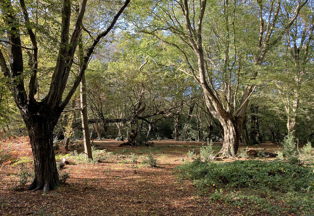
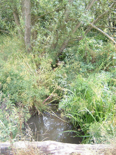
The area is characterized by its lush green surroundings and abundant wildlife, making it an ideal choice for nature enthusiasts and outdoor lovers. The local woodlands, such as Epping Forest, provide a perfect setting for leisurely walks, cycling, and picnics. The breathtaking scenery offers a peaceful escape and an opportunity to reconnect with nature.

Bluehouse Grove is an established residential area, boasting an array of beautifully designed houses and apartments. The properties in this area are known for their modern architecture, spacious interiors, and well-maintained gardens. The neighborhood has a strong sense of community and residents are known to take pride in their homes and surroundings.

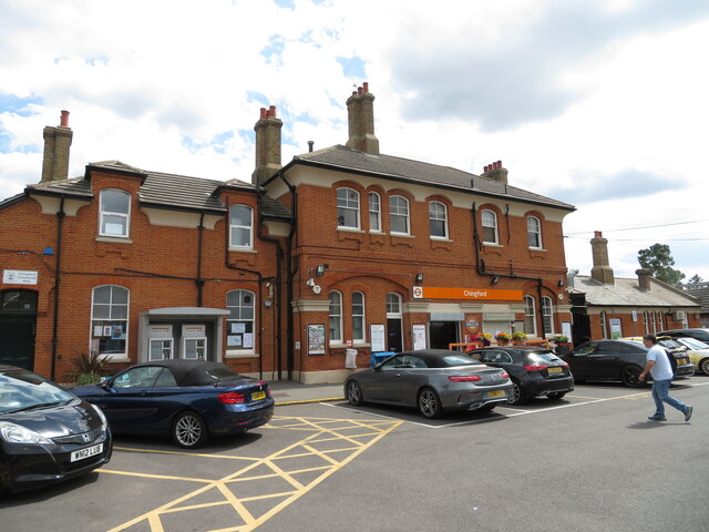
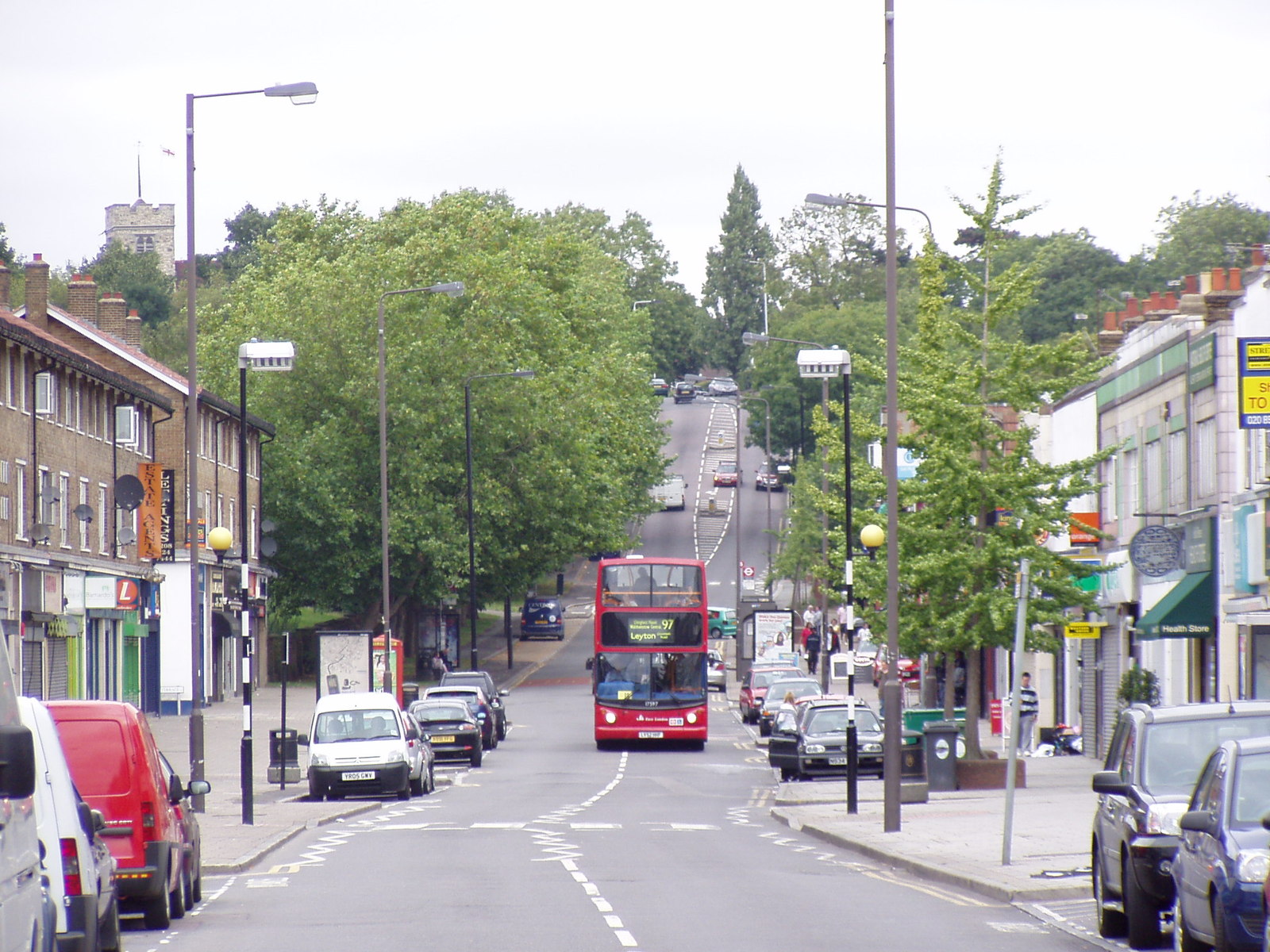
In terms of amenities, Bluehouse Grove offers easy access to a range of facilities. The nearby town of Chigwell is home to a variety of shops, restaurants, and leisure activities, ensuring that residents have everything they need within reach. Additionally, the area benefits from excellent transport links, with multiple bus routes and Chigwell Underground station providing convenient connections to London and other nearby towns.

Overall, Bluehouse Grove is a highly sought-after residential area that offers a harmonious blend of natural beauty, modern living, and convenient amenities. It is an ideal location for those seeking a peaceful and idyllic lifestyle surrounded by the enchanting woodlands of Essex.

If you have any feedback on the listing, please let us know in the comments section below.

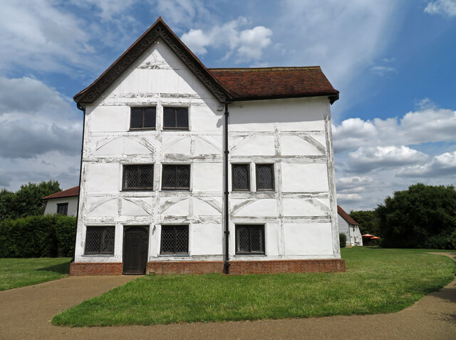
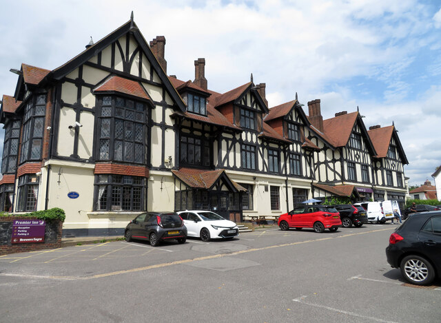
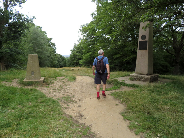
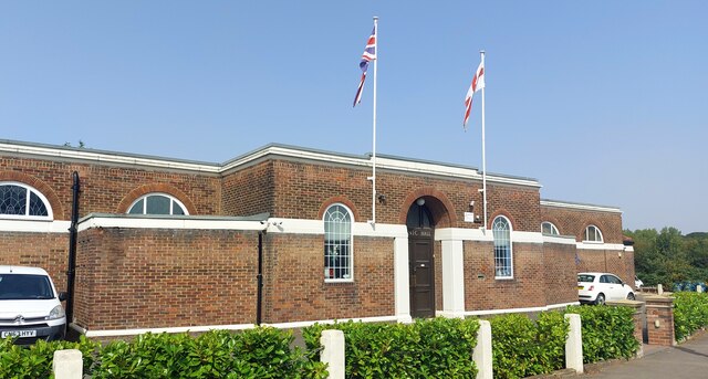
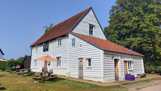
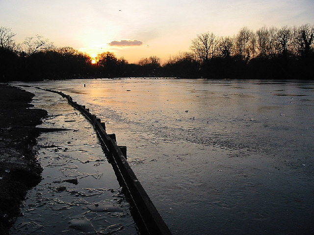
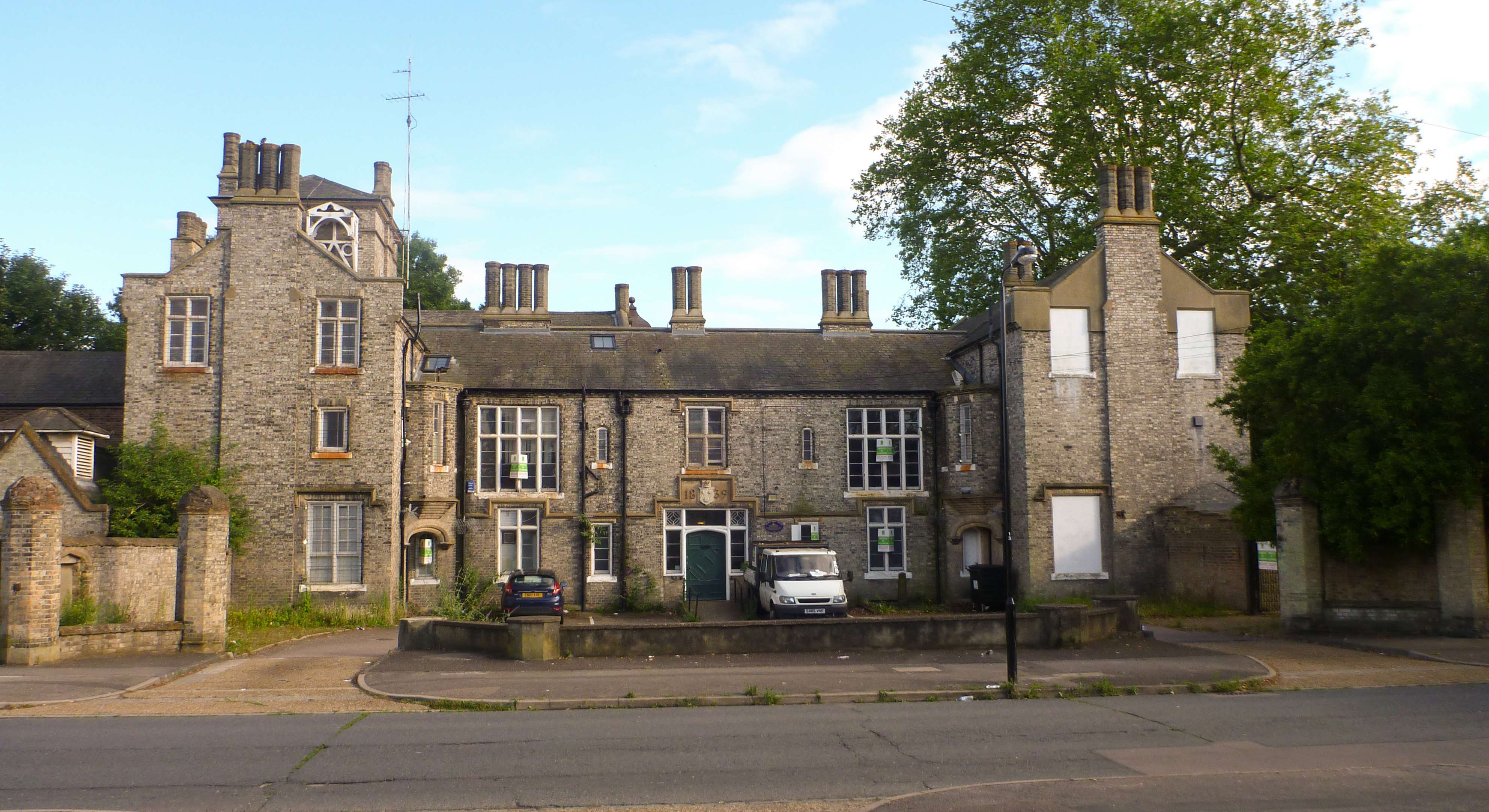
Bluehouse Grove Images

Images are sourced within 2km of 51.625181/0.015644664 or Grid Reference TQ3993. Thanks to Geograph Open Source API. All images are credited.

Chingford Station
Chingford Station
Bury Wood, Epping Forest (1)
Bury Wood, Epping Forest (2)
North Chingford Methodist Church
Chingford Station On the London Overground.
Chingford Station
On the London Overground.
Butler's Retreat, Chingford A coffee shop on the edge of Epping Forest. Listed Grade II. The building on the extreme left is Queen Elizabeth's Hunting Lodge.
Butler's Retreat, Chingford
A coffee shop on the edge of Epping Forest. Listed Grade II. The building on the extreme left is Queen Elizabeth's Hunting Lodge.
Queen Elizabeth's Hunting Lodge, Chingford Now a museum and Listed Grade II*. This is an early 16th century hunting lodge and is also a Scheduled Ancient Monument.
Queen Elizabeth's Hunting Lodge, Chingford
Now a museum and Listed Grade II*. This is an early 16th century hunting lodge and is also a Scheduled Ancient Monument.
Public house and hotel The Royal Forest public house and a Premier Inn are co-located here.
Public house and hotel
The Royal Forest public house and a Premier Inn are co-located here.
Pole Hill, Chingford Green There is a trig point on the left and the obelisk on the right was a sighting point due north of Greenwich observatory. However, following a readjustment of the prime meridian it is now 19' to the east of it. The lower plaque refers to its geographical function and the upper plaque reveals that the land here was once owned by T E Lawrence. This is part of Epping Forest.
Pole Hill, Chingford Green
There is a trig point on the left and the obelisk on the right was a sighting point due north of Greenwich observatory. However, following a readjustment of the prime meridian it is now 19' to the east of it. The lower plaque refers to its geographical function and the upper plaque reveals that the land here was once owned by T E Lawrence. This is part of Epping Forest.
Chingford Masonic Hall The hall was built in the 1930s and features a banqueting hall which can accommodate up to 120 guests.

<span class="nowrap"><a title="https://www.chingfordmasonichall.co.uk/about" rel="nofollow ugc noopener" href="https://www.chingfordmasonichall.co.uk/about">Link</a><img style="margin-left:2px;" alt="External link" title="External link - shift click to open in new window" src="https://s1.geograph.org.uk/img/external.png" width="10" height="10"/></span>
Chingford Masonic Hall
The hall was built in the 1930s and features a banqueting hall which can accommodate up to 120 guests. LinkExternal link
Butlers Retreat This restored barn on the edge of Epping Forest is now a cafe.
Butlers Retreat
This restored barn on the edge of Epping Forest is now a cafe.
Connaught Water The construction of this eight-acre ornamental lake started in 1883. It was enlarged in 1893 and the two islands made. Before this transformation, the area consisted of a small swampy pool fed by the drainage from Hill Wood, Fairmead Bottom and Thicket. The aim of the Conservators in the early days was to drain the Forest to improve it for Commoners' cattle and to increase access safely.

The new lake was named after the newly appointed first Ranger of the Forest, the Duke of Connaught. The catchment area of Connaught Water is the woodland and plains northwards to High Beach from where the water is concentrated into two streams entering at the NE and NW corners of the lake.
Connaught Water
The construction of this eight-acre ornamental lake started in 1883. It was enlarged in 1893 and the two islands made. Before this transformation, the area consisted of a small swampy pool fed by the drainage from Hill Wood, Fairmead Bottom and Thicket. The aim of the Conservators in the early days was to drain the Forest to improve it for Commoners' cattle and to increase access safely. The new lake was named after the newly appointed first Ranger of the Forest, the Duke of Connaught. The catchment area of Connaught Water is the woodland and plains northwards to High Beach from where the water is concentrated into two streams entering at the NE and NW corners of the lake.
The River Ching Just about a mile from Chingford I was surprised at how small the river Ching was when I came across it walking section 19 of the London Loop.  It is the river that gives Chingford its name.
The River Ching
Just about a mile from Chingford I was surprised at how small the river Ching was when I came across it walking section 19 of the London Loop. It is the river that gives Chingford its name.
Knighton Woods Pond Man made pond which was part of the Knighton Estate before being incorporated into Epping Forest
Knighton Woods Pond
Man made pond which was part of the Knighton Estate before being incorporated into Epping Forest
Lords Bushes Pond Pond on the old Knightons estate now part of Epping Forest
Lords Bushes Pond
Pond on the old Knightons estate now part of Epping Forest
Woodford Green village sign Essex villages traditionally have village signs; Woodford Green (really a London suburb) recently acquired its own. The Green is part of the ancient Epping Forest and is the oldest village cricket field still in regular use. The sign depicts significant local images; cows grazing on the Green as of long tradition; Sir Winston Churchill, for many years the local MP (his statue shown in <a href="https://www.geograph.org.uk/gridref/TQ3991">TQ3991</a> is at the far end of the Green); cricket and the church.
Woodford Green village sign
Essex villages traditionally have village signs; Woodford Green (really a London suburb) recently acquired its own. The Green is part of the ancient Epping Forest and is the oldest village cricket field still in regular use. The sign depicts significant local images; cows grazing on the Green as of long tradition; Sir Winston Churchill, for many years the local MP (his statue shown in TQ3991 is at the far end of the Green); cricket and the church.
Potato Pond, Woodford Green Potato Pond alongside the old A11, Woodford High Road, is so called as it was used to wash potatoes being brought by farmers from East Anglia to the London markets. Behind is the old British Legion hall, now converted to apartments.
Potato Pond, Woodford Green
Potato Pond alongside the old A11, Woodford High Road, is so called as it was used to wash potatoes being brought by farmers from East Anglia to the London markets. Behind is the old British Legion hall, now converted to apartments.
Knighton Wood in winter Knighton Wood with the adjacent Lords Bushes forms a small isolated patch of Epping Forest, surrounded by housing.  It was enclosed in the nineteenth century from the forest to form the ornamental gardens of Knighton House, the home of the Buxton family, and returned to the Forest in 1930.
Knighton Wood in winter
Knighton Wood with the adjacent Lords Bushes forms a small isolated patch of Epping Forest, surrounded by housing. It was enclosed in the nineteenth century from the forest to form the ornamental gardens of Knighton House, the home of the Buxton family, and returned to the Forest in 1930.
Show me another place!

Bluehouse Grove is located at Grid Ref: TQ3993 (Lat: 51.625181, Lng: 0.015644664)

Unitary Authority: Waltham Forest

Police Authority: Metropolitan

What 3 Words

///elder.teams.taps. Near Buckhurst Hill, Essex

Related Wikis

Heathcote School, Chingford

Heathcote School and Science College is a coeducational community secondary school and sixth form in Chingford in the London Borough of Waltham Forest...

Hatch Lane (ward)

Hatch Lane Ward was a political division of the London Borough of Waltham Forest, from 1978 to 2022. It was one of the six Waltham Forest wards of the...

Chingford

Chingford is a town in east London, England, within the London Borough of Waltham Forest. The centre of Chingford is 9.2 miles (14.8 km) north-east of...

Friday Hill, London

Friday Hill is a housing estate in Chingford (in the London Borough of Waltham Forest; OS Grid Reference TQ391933), named after the hill of the same name...

Nearby Amenities

Located within 500m of 51.625181,0.015644664
Crossing
Crossing: unmarked
Crossing Island: yes
Lat/Long: 51.6273639/0.0178936
Turning Circle
Lat/Long: 51.6259739/0.0139489
Noexit: yes
Lat/Long: 51.6288542/0.0129745
Noexit: yes
Lat/Long: 51.6288608/0.0160372
Noexit: yes
Lat/Long: 51.6283008/0.0135612
Noexit: yes
Lat/Long: 51.6283484/0.0133415
Post Box
Brand: Royal Mail
Brand Wikidata: Q638098
Operator: Royal Mail
Operator Wikidata: Q638098
Post Box Design: type_a
Post Box Type: pillar
Ref: E4 43
Lat/Long: 51.6276528/0.0165886
Post Box
Brand: Royal Mail
Brand Wikidata: Q638098
Operator: Royal Mail
Operator Wikidata: Q638098
Post Box Design: type_b
Post Box Type: pillar
Ref: E4 13
Royal Cypher: EIIR
Royal Cypher Wikidata: Q33102113
Lat/Long: 51.6242214/0.0090784
Bus Stop
Hail & Ride Forest Court
Bus: yes
Naptan AtcoCode: 490006907N
Naptan Bearing: N
Naptan CommonName: Forest Court
Naptan Verified: no
Public Transport: platform
Lat/Long: 51.628075/0.0172541
Bus Stop
Hail & Ride Forest Court
Bus: yes
Naptan AtcoCode: 490006907S
Naptan Bearing: N
Naptan CommonName: Forest Court
Naptan Verified: no
Public Transport: platform
Lat/Long: 51.6278246/0.0175554
Bus Stop
Kimberley Road
Bus: yes
Local Ref: GC
Naptan AtcoCode: 490008724E
Naptan Bearing: E
Naptan CommonName: Kimberley Road
Naptan Indicator: Stop GC
Naptan Street: WHITEHALL ROAD
Naptan Verified: no
Public Transport: platform
Lat/Long: 51.6274975/0.0118262
Bus Stop
Kimberley Road
Bus: yes
Local Ref: GP
Naptan AtcoCode: 490008724W
Naptan Bearing: W
Naptan CommonName: Kimberley Road
Naptan Indicator: Stop GP
Naptan Street: WHITEHALL ROAD
Naptan Verified: no
Public Transport: platform
Lat/Long: 51.6274618/0.0128697
Bus Stop
Seymour Court
Bus: yes
Local Ref: GH
Naptan AtcoCode: 490012012E
Naptan Bearing: E
Naptan CommonName: Seymour Court
Naptan Indicator: Stop GH
Naptan Street: WHITEHALL ROAD
Naptan Verified: no
Public Transport: platform
Ref: 47946
Source Ref: naptan
Lat/Long: 51.6267316/0.0195329
Bus Stop
Seymour Court
Bus: yes
Local Ref: GM
Naptan AtcoCode: 490012012W
Naptan Bearing: W
Naptan CommonName: Seymour Court
Naptan Indicator: Stop GM
Naptan Street: WHITEHALL ROAD
Naptan Verified: no
Public Transport: platform
Ref: 54485
Source Ref: naptan
Lat/Long: 51.6267544/0.0191291
Bus Stop
Valance Avenue
Bus: yes
Local Ref: GE
Naptan AtcoCode: 490013981E
Naptan Bearing: E
Naptan CommonName: Valance Avenue
Naptan Indicator: Stop GE
Naptan Street: WHITEHALL ROAD
Naptan Verified: no
Public Transport: platform
Ref: 75048
Source Ref: naptan
Lat/Long: 51.627631/0.0166191
Bus Stop
Valance Avenue
Bus: yes
Local Ref: GN
Naptan AtcoCode: 490013981W
Naptan Bearing: W
Naptan CommonName: Valance Avenue
Naptan Indicator: Stop GN
Naptan Street: WHITEHALL ROAD
Naptan Verified: no
Public Transport: platform
Ref: 52808
Source Ref: naptan
Lat/Long: 51.6275221/0.0167874
Bus Stop
Newlands Road
Bus: yes
Local Ref: FA
Naptan AtcoCode: 490014587E
Naptan Bearing: E
Naptan CommonName: Whitehall Lane Whitehall Rd
Naptan Indicator: Stop FA
Naptan Street: WHITEHALL ROAD
Naptan Verified: no
Public Transport: platform
Ref: 54911
Source Ref: naptan
Lat/Long: 51.6244022/0.0222706
Bus Stop
Whitehall Lane
Bus: yes
Local Ref: FW
Naptan AtcoCode: 490014587N
Naptan Bearing: N
Naptan CommonName: Whitehall Lane Whitehall Rd
Naptan Indicator: Stop FW
Naptan Street: WHITEHALL ROAD
Naptan Verified: no
Public Transport: platform
Ref: 47359
Source Ref: naptan
Lat/Long: 51.6241931/0.0221675
Noexit: yes
Lat/Long: 51.62825/0.0185245
Community Centre
Coney Burrows Community Centre
Lat/Long: 51.626931/0.0093693
School
The Davis School
School: Pupil Referral Unit
Lat/Long: 51.6257896/0.0096522
Power: substation
Lat/Long: 51.6212737/0.0134717
Bluehouse Grove
Place: locality
Lat/Long: 51.625118/0.0157751
Hatch Grove
Place: locality
Lat/Long: 51.6223205/0.0144233
Addr Housenumber: 134
Source: gps+mapnoter
Lat/Long: 51.6241614/0.0226218
Crossing
Bicycle: yes
Crossing: uncontrolled
Crossing Island: no
Crossing Ref: parallel
Lat/Long: 51.6272595/0.01049
Give Way
Direction: forward
Source: bing
Traffic Sign: GB:1003A
Lat/Long: 51.6265716/0.0104805
Give Way
Direction: forward
Source: bing
Traffic Sign: GB:1003A
Lat/Long: 51.6245865/0.010152
Give Way
Direction: backward
Source: bing
Traffic Sign: GB:1003A
Lat/Long: 51.624392/0.0102312
Give Way
Direction: backward
Source: bing
Traffic Sign: GB:1003A
Lat/Long: 51.6260335/0.0107379
Crossing
Source: bing
Lat/Long: 51.6266657/0.0107476
Noexit: yes
Lat/Long: 51.6296661/0.0152577
Noexit: yes
Lat/Long: 51.6270764/0.0165125
Crossing
Crossing: unmarked
Crossing Island: no
Traffic Calming: table
Lat/Long: 51.6273064/0.0099187
Give Way
Direction: forward
Lat/Long: 51.6276569/0.0174718
Crossing
Crossing: unmarked
Lat/Long: 51.6275732/0.0175972
Crossing
Crossing: unmarked
Lat/Long: 51.6276172/0.0174168
Crossing
Crossing: unmarked
Crossing Island: yes
Lat/Long: 51.6275192/0.0174723
Crossing
Crossing: uncontrolled
Crossing Ref: zebra
Lat/Long: 51.627494/0.0124674
Bicycle Parking
Bicycle Parking: stands
Capacity: 4
Covered: no
Fixme: Check exact location
Lat/Long: 51.6268449/0.0216681
Crossing
Crossing: unmarked
Crossing Island: no
Traffic Calming: table
Lat/Long: 51.627187/0.0102514
Tactile Paving: yes
Lat/Long: 51.6272886/0.010582
Crossing
Crossing: uncontrolled
Crossing Island: no
Crossing Ref: zebra
Lat/Long: 51.6272633/0.0105863
Tactile Paving: yes
Lat/Long: 51.6272354/0.010591
The data included in this document is from www.openstreetmap.org. The data is made available under ODbL.

Have you been to Bluehouse Grove?

Leave your review of Bluehouse Grove below (or comments, questions and feedback).