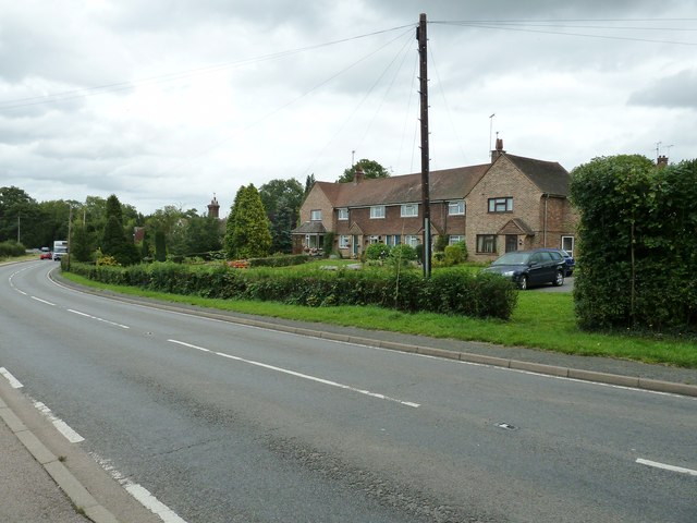
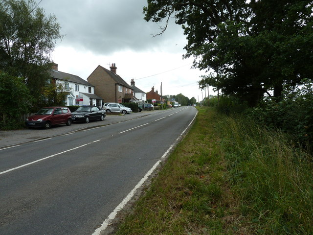
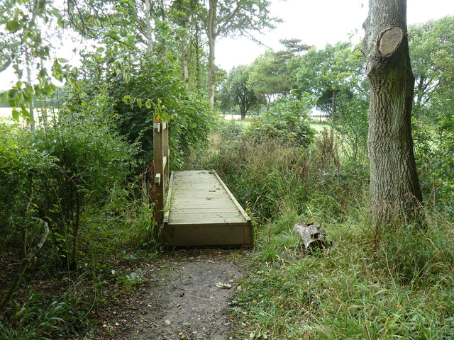
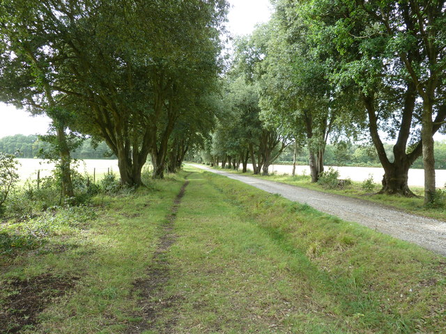
Long Wood
Wood, Forest in Sussex Lewes
England
Long Wood
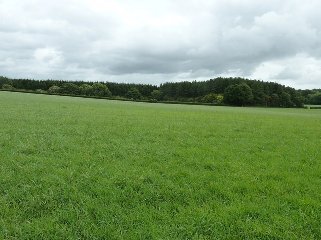
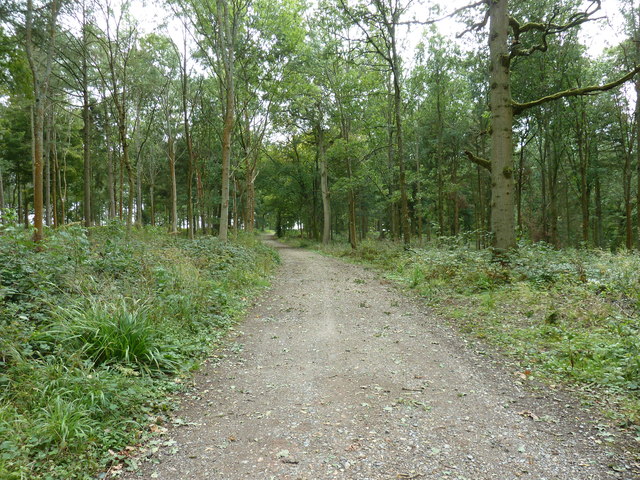
Long Wood is a beautiful forest located in the county of Sussex, England. Covering an area of approximately 500 acres, it is one of the largest woodlands in the region. The forest is situated near the village of Long, offering a peaceful retreat from the bustling city life.
Long Wood is predominantly composed of broadleaf trees, including oak, beech, and chestnut. The dense canopy provides shelter for a wide variety of wildlife, making it a haven for nature enthusiasts and birdwatchers. The forest floor is carpeted with a rich assortment of wildflowers, adding to its natural charm.
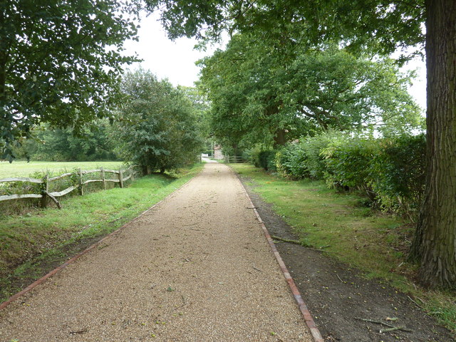
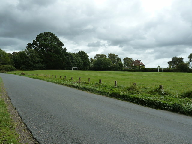
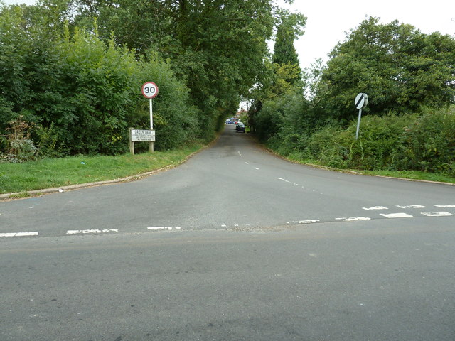
Several well-maintained walking trails crisscross the woodland, allowing visitors to explore its diverse landscape. These pathways are perfect for leisurely strolls, jogging, or even cycling. Additionally, the forest offers designated picnic areas where visitors can relax and enjoy the serene surroundings.
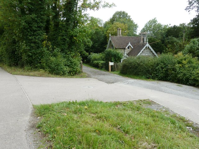
Long Wood is not only a place of natural beauty but also holds historical significance. The forest has been carefully managed for centuries, with evidence of human activity dating back to medieval times. Archaeological surveys have unearthed remnants of ancient settlements and trackways, providing glimpses into the area's past.
The forest is open to the public year-round, with free admission. Long Wood is easily accessible by both private and public transportation, with ample parking facilities nearby. Whether one seeks tranquility, outdoor activities, or a glimpse into history, Long Wood is a must-visit destination in Sussex.
If you have any feedback on the listing, please let us know in the comments section below.
Long Wood Images
Images are sourced within 2km of 50.939544/-0.014179479 or Grid Reference TQ3917. Thanks to Geograph Open Source API. All images are credited.


Long Wood is located at Grid Ref: TQ3917 (Lat: 50.939544, Lng: -0.014179479)
Administrative County: East Sussex
District: Lewes
Police Authority: Sussex
What 3 Words
///alien.horseshoe.dictation. Near South Chailey, East Sussex
Nearby Locations
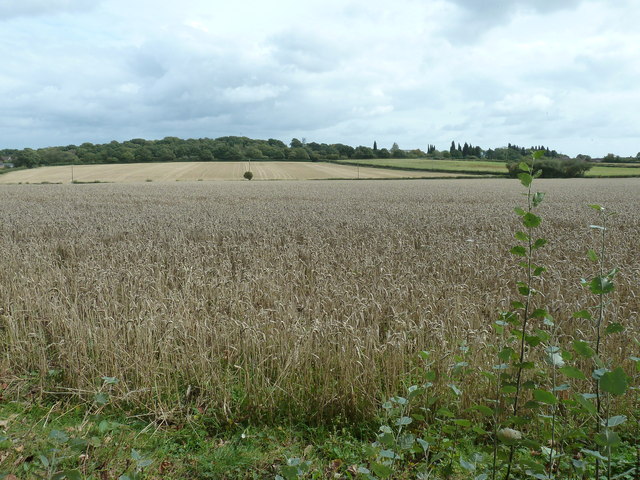
Related Wikis

Chailey School
Chailey Secondary School opened in April 1958, is a comprehensive secondary school located in the village of South Chailey, Chailey, just outside Lewes...

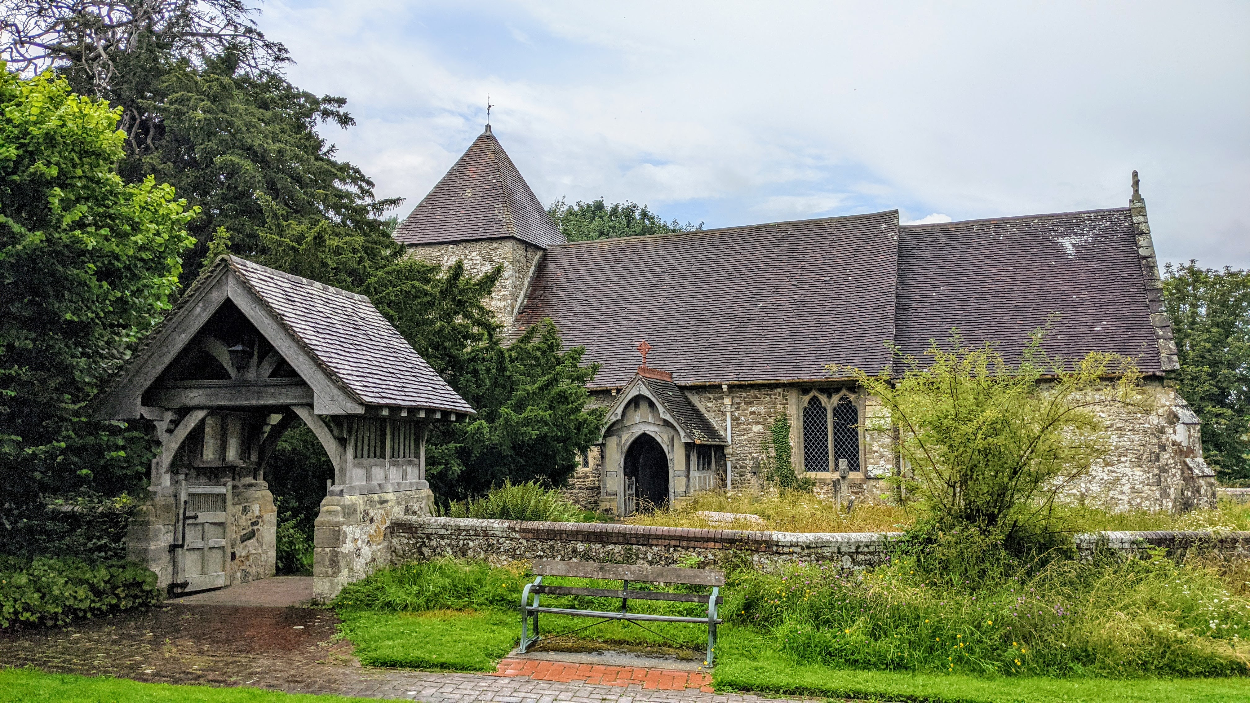
Chailey Moat
Chailey Moat is a Grade II listed building near the village of Chailey, East Sussex. It is a 16th-century moated two storey house with an 18th-century...

Chailey
Chailey is a village and civil parish in the Lewes District of East Sussex, England. It is located 7 miles north of Lewes, on the A272 road from Winchester...

Barcombe railway station
Barcombe was a railway station serving the village of Barcombe in East Sussex. It was part of the East Grinstead to Lewes line, part of which now makes...

Barcombe
Barcombe is an East Sussex village and civil parish in the Lewes District of East Sussex. The parish has four settlements: old Barcombe (TQ 418 143), the...
East Chiltington
East Chiltington is a village and civil parish in the Lewes District of East Sussex, England. It is centred four miles (5.9 km) south-east of Burgess Hill...

RAF Chailey
RAF Chailey was a Royal Air Force Advanced Landing Ground close to the village of Chailey near Burgess Hill in East Sussex during the Second World War...
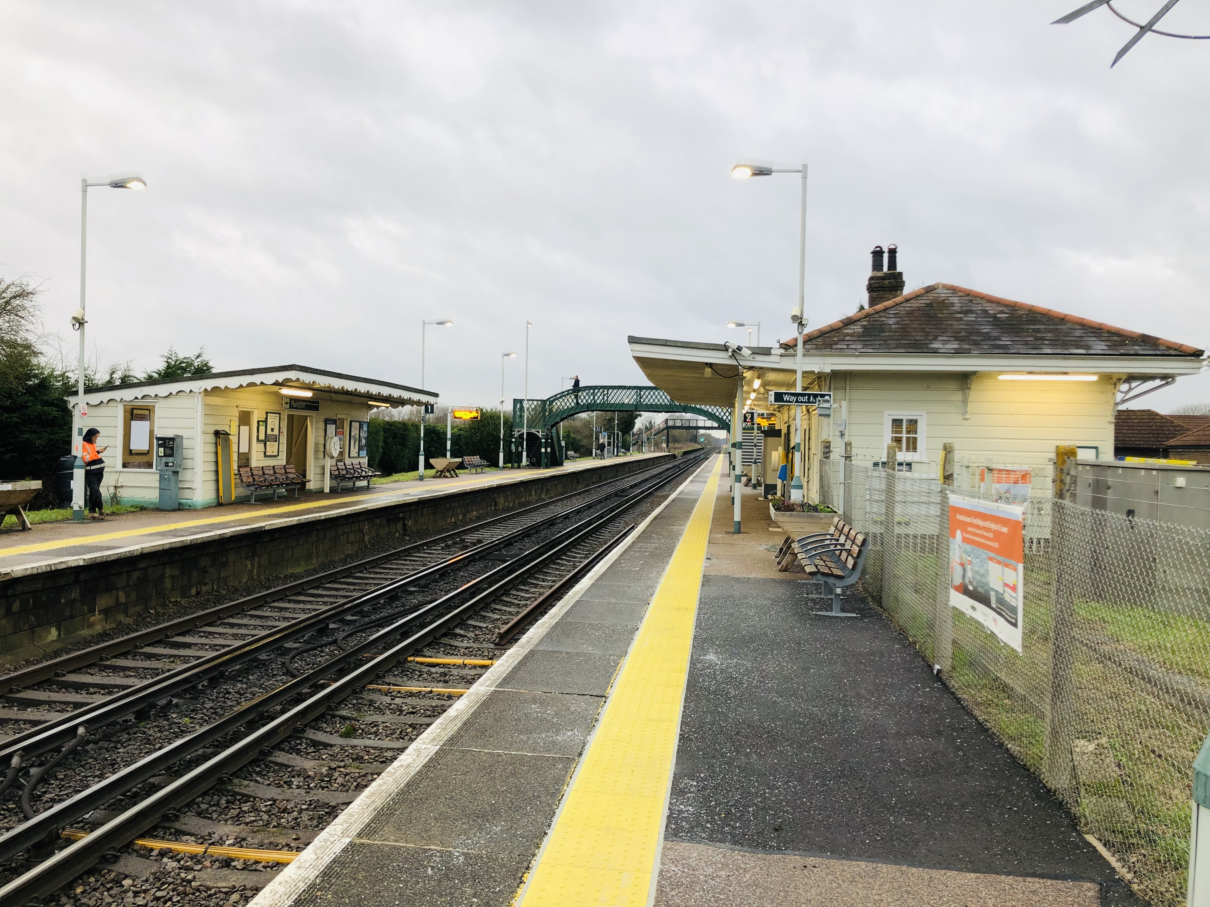
Plumpton railway station
Plumpton railway station serves the village of Plumpton in East Sussex, England. It is 44 miles 42 chains (71.7 km) from London Bridge via Redhill. Train...
Nearby Amenities
Located within 500m of 50.939544,-0.014179479Have you been to Long Wood?
Leave your review of Long Wood below (or comments, questions and feedback).