Bingles Wood
Wood, Forest in Hertfordshire East Hertfordshire
England
Bingles Wood

Bingles Wood is a picturesque woodland located in Hertfordshire, England. Covering an area of approximately 100 acres, it is a popular destination for nature enthusiasts and outdoor adventurers alike. The wood is situated near the town of Bingles and is easily accessible by road, making it a convenient escape from urban life.
As visitors enter Bingles Wood, they are greeted by a diverse range of flora and fauna. The wood is predominantly made up of broad-leaved trees, including oak, beech, and birch, creating a lush and vibrant environment. The canopy formed by these towering trees offers a cool and shaded atmosphere, perfect for leisurely walks or picnics on sunny days.
The forest floor is covered in a thick carpet of wildflowers and ferns, creating a stunning display of colors during the spring and summer months. Visitors may come across a variety of wildlife, including deer, foxes, and a wide array of bird species, making Bingles Wood an ideal spot for birdwatching and wildlife photography.
Tranquil walking trails wind their way through the wood, allowing visitors to explore its beauty at their own pace. The paths are well-maintained, making them accessible to people of all ages and abilities. Along these trails, one may stumble upon hidden ponds and streams, adding to the enchanting atmosphere of the wood.
Bingles Wood offers a peaceful retreat for those seeking solace in nature. Its serene ambiance and natural beauty make it a haven for relaxation and an escape from the hustle and bustle of everyday life. Whether you are a nature lover, a hiker, or simply someone looking for a tranquil setting, Bingles Wood is sure to captivate and leave you with a lasting impression of the natural wonders found in Hertfordshire.
If you have any feedback on the listing, please let us know in the comments section below.
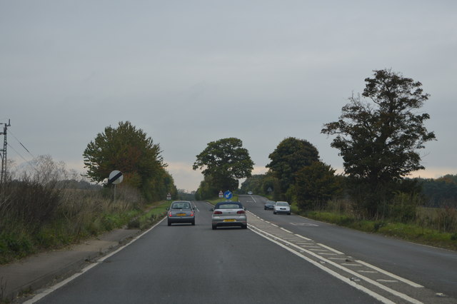
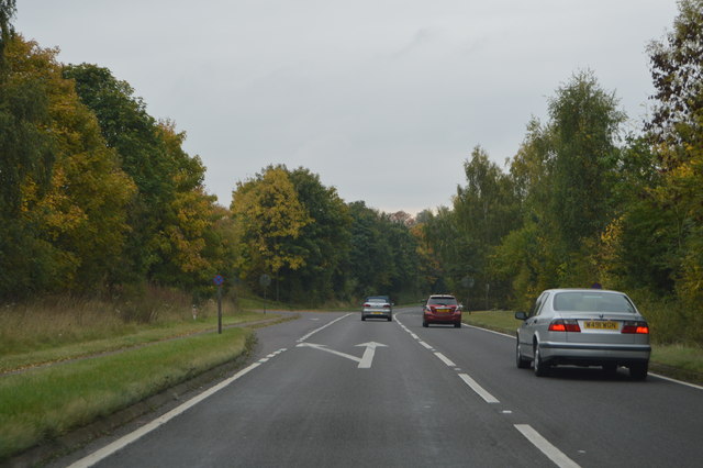
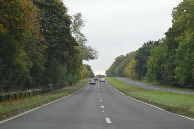
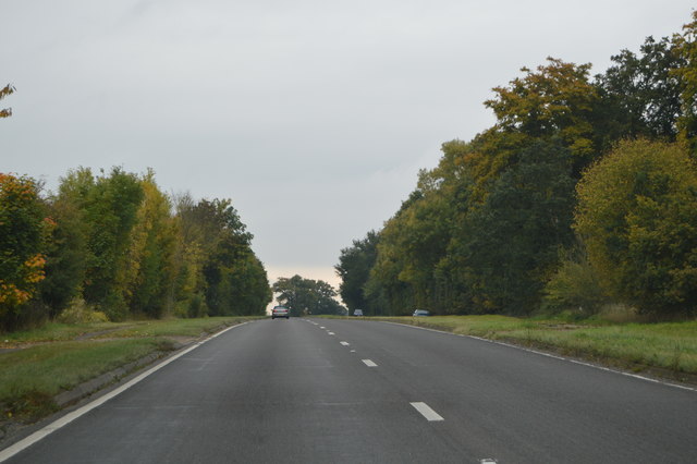
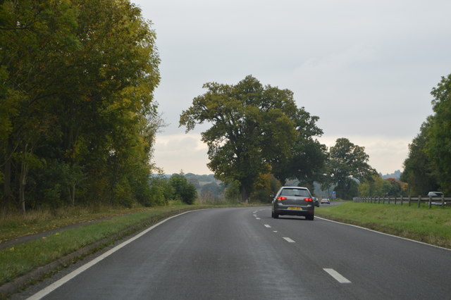
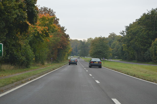
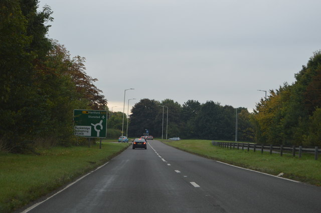
Bingles Wood Images
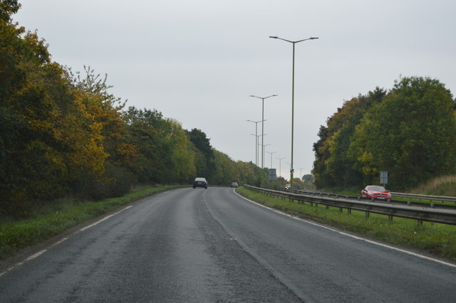
Images are sourced within 2km of 51.907358/0.017903383 or Grid Reference TL3825. Thanks to Geograph Open Source API. All images are credited.


Bingles Wood is located at Grid Ref: TL3825 (Lat: 51.907358, Lng: 0.017903383)
Administrative County: Hertfordshire
District: East Hertfordshire
Police Authority: Hertfordshire
What 3 Words
///gravitate.deals.sprayed. Near Puckeridge, Hertfordshire
Nearby Locations
Related Wikis

Braughing (Roman town)
Braughing was a small town in the Roman province of Britannia. Its name in Latin is unknown. == Location == Today the site is partially occupied by the...
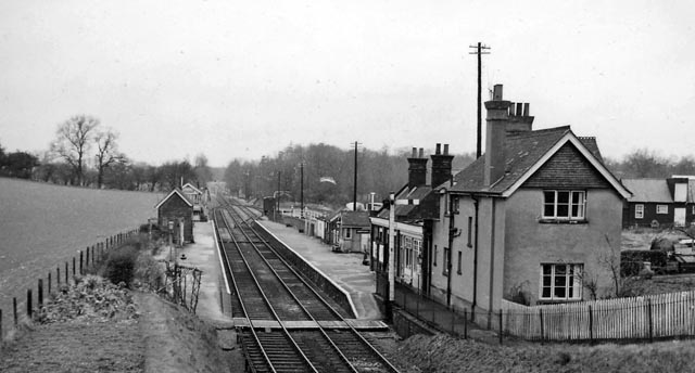
Braughing railway station
Braughing railway station served the village of Braughing, Hertfordshire, England, from 1863 to 1964 on the Buntingford branch line. == History == The...

Braughing
Braughing is a village and civil parish, between the rivers Quin and Rib, in the non-metropolitan district of East Hertfordshire, part of the English...

Puckeridge
Puckeridge is a village in East Hertfordshire, England with a population of 3,561 (2011 Census). It is in the civil parish of Standon. == History == The...

East Hertfordshire
East Hertfordshire is one of ten local government districts in Hertfordshire, England. Its council is based in Hertford, the county town of Hertfordshire...
Bozen Green
Bozen Green is a hamlet in Hertfordshire, England. It includes the lost settlement of Bordesden. It is in the civil parish of Braughing
Dassels
Dassels is a hamlet in the district of East Hertfordshire, in the county of Hertfordshire. Nearby settlements include the town of Ware and the village...
Braughing Friars
Braughing Friars is a hamlet in Hertfordshire, England. It is in the civil parish of Braughing. == External links == Media related to Braughing Friars...
Nearby Amenities
Located within 500m of 51.907358,0.017903383Have you been to Bingles Wood?
Leave your review of Bingles Wood below (or comments, questions and feedback).