Nuttings Plantation
Wood, Forest in Hertfordshire East Hertfordshire
England
Nuttings Plantation

Nutting's Plantation is a picturesque woodland located in Hertfordshire, England. Covering an area of approximately 50 acres, it is nestled within the heart of the county, near the town of Wood. The plantation is renowned for its lush greenery, diverse flora, and tranquil atmosphere, making it a popular destination for nature enthusiasts and hikers.
As its name suggests, Nutting's Plantation is abundant in various nut-bearing trees, including oak, beech, and hazel trees. These trees provide a rich habitat for a wide array of wildlife, such as squirrels, badgers, and numerous bird species. The plantation's dense forestation also adds to its allure, creating a sense of seclusion and natural beauty.
Visitors to Nutting's Plantation can enjoy a network of well-maintained walking trails that wind through the woodland, offering breathtaking views of the surrounding countryside. The paths cater to all levels of fitness, from leisurely strolls to more challenging hikes. Along the way, there are strategically placed benches and picnic spots, allowing visitors to rest and soak up the serene ambiance.
Furthermore, Nutting's Plantation is not only a haven for nature lovers but also serves as an important conservation area. The woodland is carefully managed to preserve its ecological balance, with regular tree planting and maintenance programs in place. This ensures the continued growth and sustainability of the plantation, supporting local biodiversity.
In conclusion, Nutting's Plantation in Hertfordshire is a captivating woodland retreat that offers a harmonious blend of natural beauty and recreational opportunities. Its diverse flora, well-maintained trails, and commitment to conservation make it a cherished destination for both locals and visitors alike.
If you have any feedback on the listing, please let us know in the comments section below.
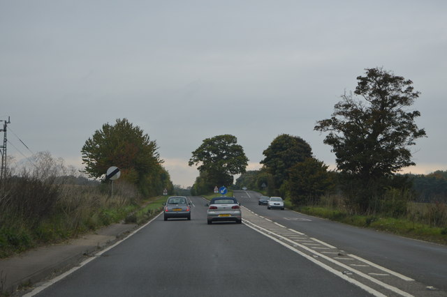
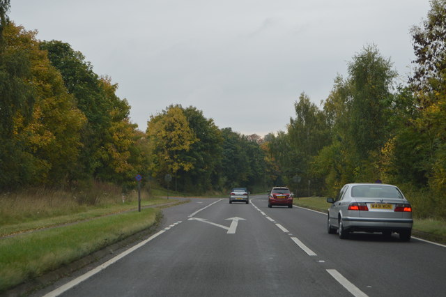
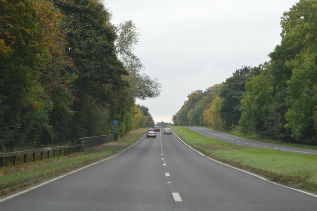
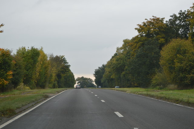
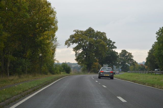
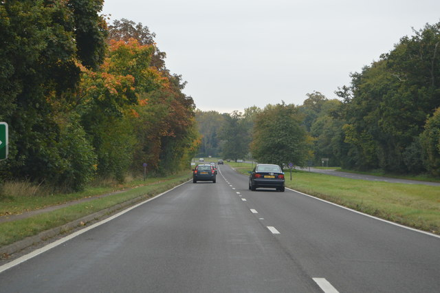
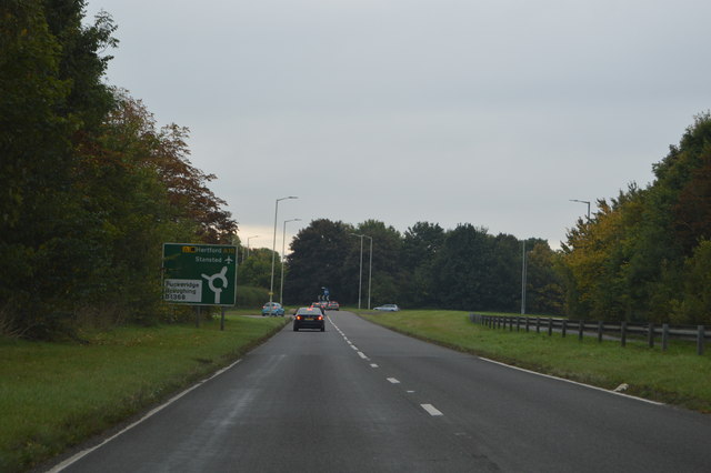
Nuttings Plantation Images
Images are sourced within 2km of 51.912457/0.012664952 or Grid Reference TL3825. Thanks to Geograph Open Source API. All images are credited.


Nuttings Plantation is located at Grid Ref: TL3825 (Lat: 51.912457, Lng: 0.012664952)
Administrative County: Hertfordshire
District: East Hertfordshire
Police Authority: Hertfordshire
What 3 Words
///applies.sides.backtrack. Near Puckeridge, Hertfordshire
Nearby Locations
Related Wikis

Braughing (Roman town)
Braughing was a small town in the Roman province of Britannia. Its name in Latin is unknown. == Location == Today the site is partially occupied by the...
Bozen Green
Bozen Green is a hamlet in Hertfordshire, England. It includes the lost settlement of Bordesden. It is in the civil parish of Braughing
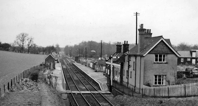
Braughing railway station
Braughing railway station served the village of Braughing, Hertfordshire, England, from 1863 to 1964 on the Buntingford branch line. == History == The...

Puckeridge
Puckeridge is a village in East Hertfordshire, England with a population of 3,561 (2011 Census). It is in the civil parish of Standon. == History == The...

East Hertfordshire
East Hertfordshire is one of ten local government districts in Hertfordshire, England. Its council is based in Hertford, the county town of Hertfordshire...
Dassels
Dassels is a hamlet in the district of East Hertfordshire, in the county of Hertfordshire. Nearby settlements include the town of Ware and the village...
West Mill railway station
West Mill railway station served the village of Westmill, Hertfordshire, England, from 1863 to 1964 on the Buntingford branch line. == History == The station...

Braughing
Braughing is a village and civil parish, between the rivers Quin and Rib, in the non-metropolitan district of East Hertfordshire, part of the English...
Nearby Amenities
Located within 500m of 51.912457,0.012664952Have you been to Nuttings Plantation?
Leave your review of Nuttings Plantation below (or comments, questions and feedback).