Ashen Shaw
Wood, Forest in Surrey Tandridge
England
Ashen Shaw
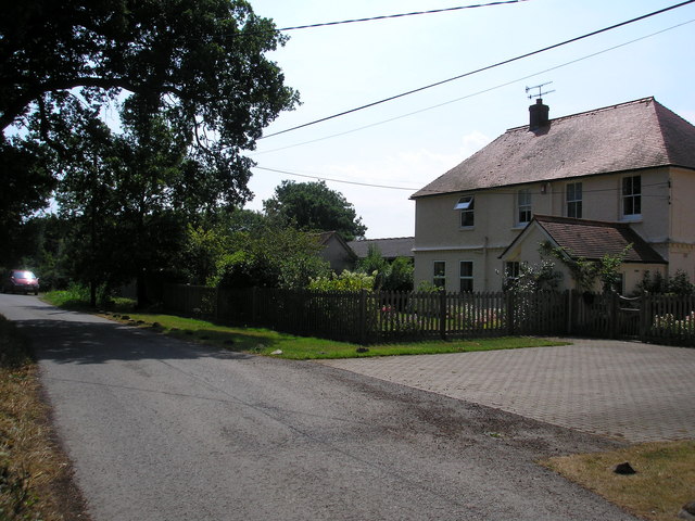
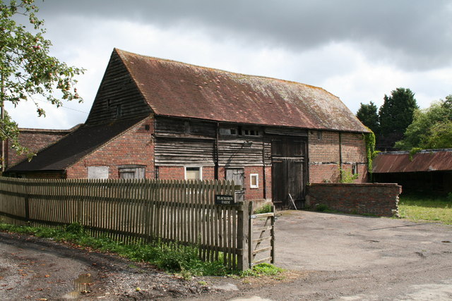
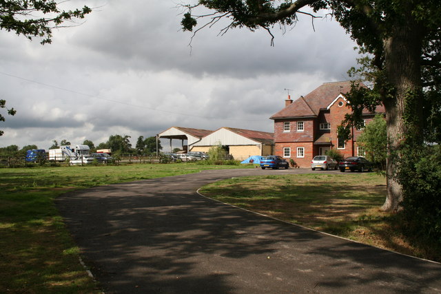
Ashen Shaw, Surrey, also known as Wood, Forest, is a picturesque village located in the county of Surrey, England. Situated amidst the stunning landscapes of the Surrey Hills, this charming village is known for its abundant woodlands and captivating natural beauty.
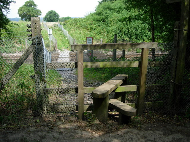
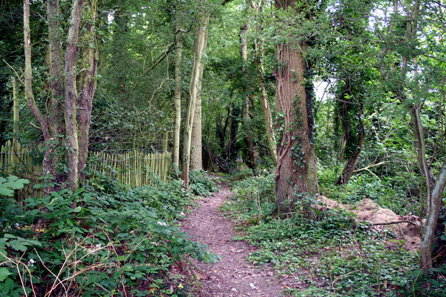
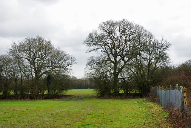
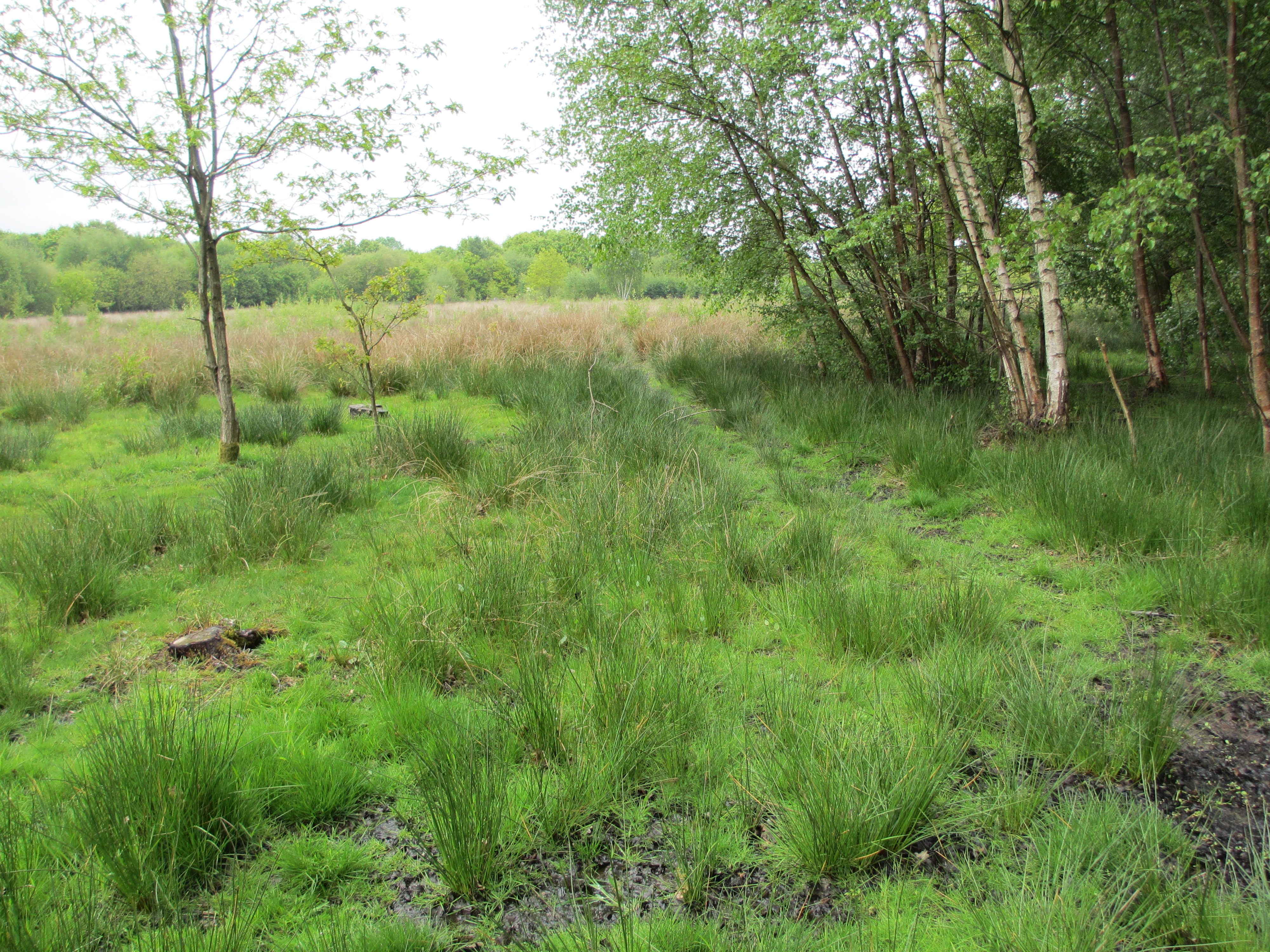
Ashen Shaw is renowned for its dense forests, which encompass the village, creating a tranquil and serene atmosphere. The towering trees and lush greenery provide a haven for wildlife, making it a popular destination for nature enthusiasts and hikers. The village is also home to various species of birds, and the melodious chirping can often be heard in the air.
The village itself boasts a small but close-knit community, epitomizing the idyllic English countryside lifestyle. The residents are friendly and welcoming, embracing a strong sense of community spirit. The village center features a few quaint shops and local businesses, serving the daily needs of the residents.
Ashen Shaw is also steeped in history, with evidence of human habitation dating back centuries. Ancient ruins and archaeological sites can be found scattered throughout the woodlands, providing a glimpse into the village's rich past.
Despite its rural setting, Ashen Shaw is conveniently located within easy reach of neighboring towns and cities. The bustling market town of Guildford is just a short drive away, offering a wide range of amenities and entertainment options.
In conclusion, Ashen Shaw, Surrey (Wood, Forest) is a captivating village nestled in the heart of the Surrey Hills. With its enchanting woodlands, friendly community, and rich history, it is a place that truly embodies the beauty and charm of the English countryside.
If you have any feedback on the listing, please let us know in the comments section below.
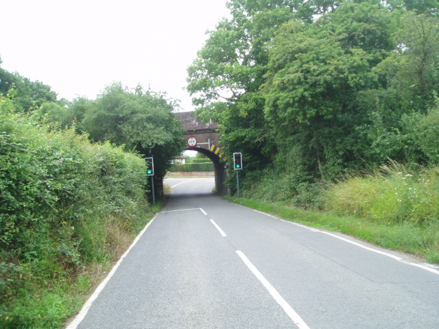
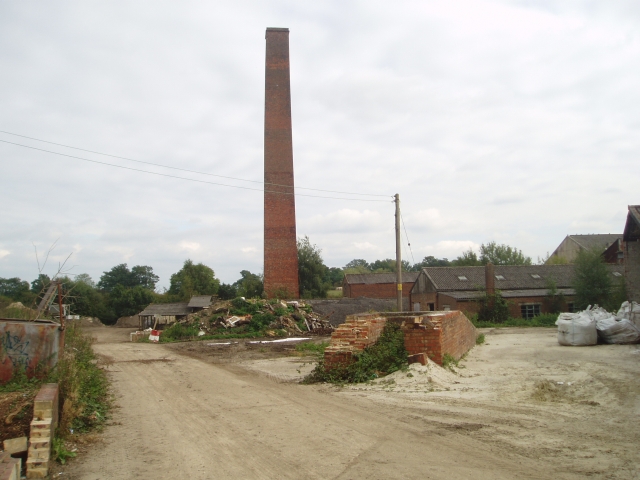
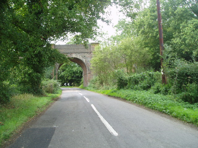
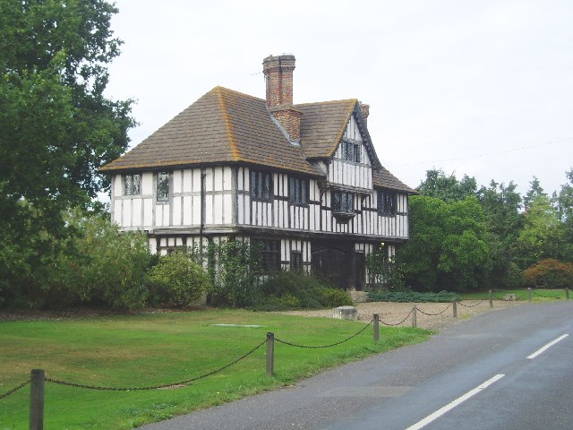
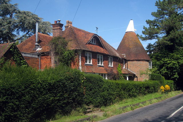
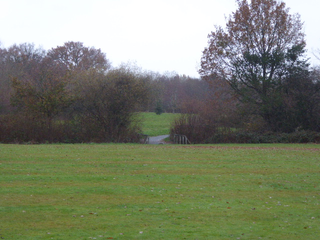
Ashen Shaw Images
Images are sourced within 2km of 51.208309/-0.019605362 or Grid Reference TQ3847. Thanks to Geograph Open Source API. All images are credited.


Ashen Shaw is located at Grid Ref: TQ3847 (Lat: 51.208309, Lng: -0.019605362)
Administrative County: Surrey
District: Tandridge
Police Authority: Surrey
What 3 Words
///about.matter.books. Near Blindley Heath, Surrey
Nearby Locations
Related Wikis

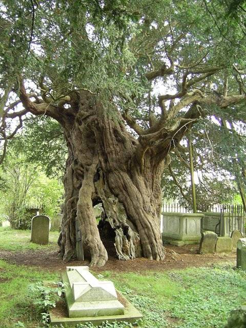
Crowhurst Yew
The Crowhurst Yew is a yew tree in the churchyard of St George's Church in Crowhurst, Surrey, England. It is thought to be about 4,000 years old. Its girth...
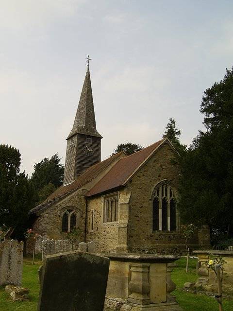
Crowhurst, Surrey
Crowhurst is a village and civil parish in the Tandridge district of Surrey, England. The nearest town is Oxted, 3 miles (5 km) to the north. Rated two...

Crowhurst Place
Crowhurst Place, Crowhurst, Surrey, England is a medieval hall house dating from the early 15th century. In the 20th century, the house was reconstructed...

Godstone railway station
Godstone railway station is on the Redhill to Tonbridge Line and serves Godstone in Surrey, England. It is 28 miles 13 chains (28.16 miles, 45.32 km) measured...

Staffhurst Wood
Staffhurst Wood is a 51-hectare (130-acre) biological Site of Special Scientific Interest south of Oxted in Surrey. It is a Nature Conservation Review...
Blindley Heath SSSI
Blindley Heath SSSI is a 26.3-hectare (65-acre) biological Site of Special Scientific Interest in the hamlet Blindley Heath, on the southern outskirts...
Lingfield Wildlife Area
Lingfield Wildlife Area is a 6.3-hectare (16-acre) Local Nature Reserve in Lingfield in Surrey. It is owned by Tandridge District Council and managed...

Lingfield F.C.
Lingfield Football Club are a football club based in the village of Lingfield, near East Grinstead, Surrey, England. The club is affiliated to the Surrey...
Nearby Amenities
Located within 500m of 51.208309,-0.019605362Have you been to Ashen Shaw?
Leave your review of Ashen Shaw below (or comments, questions and feedback).