Brickmaker's Wood
Wood, Forest in Surrey Tandridge
England
Brickmaker's Wood

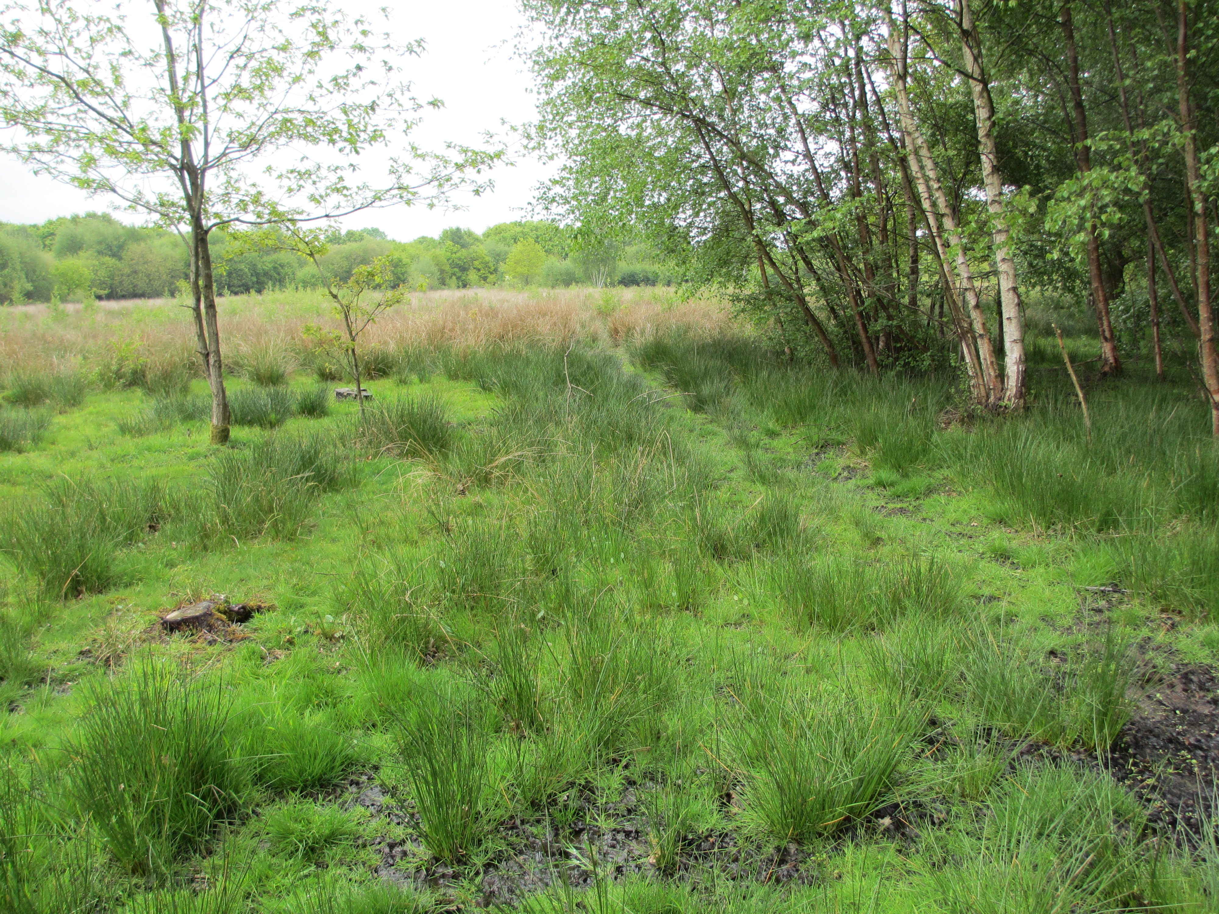
Brickmaker's Wood is a stunning woodland area located in Surrey, England. It is nestled in the heart of the Surrey Hills Area of Outstanding Natural Beauty, making it a popular destination for nature lovers and outdoor enthusiasts.
This ancient wood covers an area of approximately 100 acres and is predominantly made up of native broadleaf trees such as oak, beech, and hornbeam. The wood is home to a diverse range of flora and fauna, including rare species such as bluebells, wood anemones, and common spotted orchids. Birdwatchers can also spot a variety of bird species, including woodpeckers, nuthatches, and tawny owls.
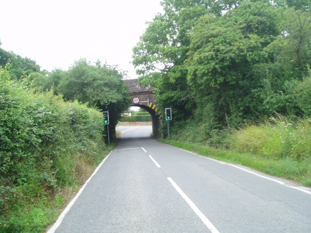
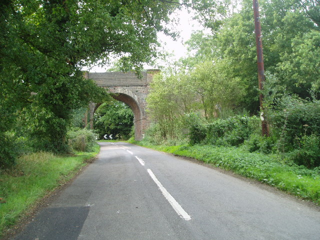
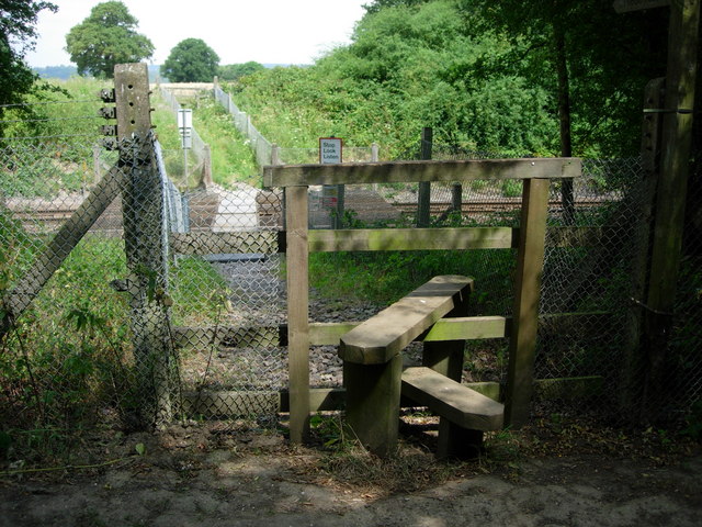
Brickmaker's Wood is crisscrossed by a network of well-maintained footpaths, allowing visitors to explore the area and take in its natural beauty. These paths offer picturesque views of the wood's mature trees, tranquil ponds, and wildflower meadows. The wood also features a small stream that adds to its charm.
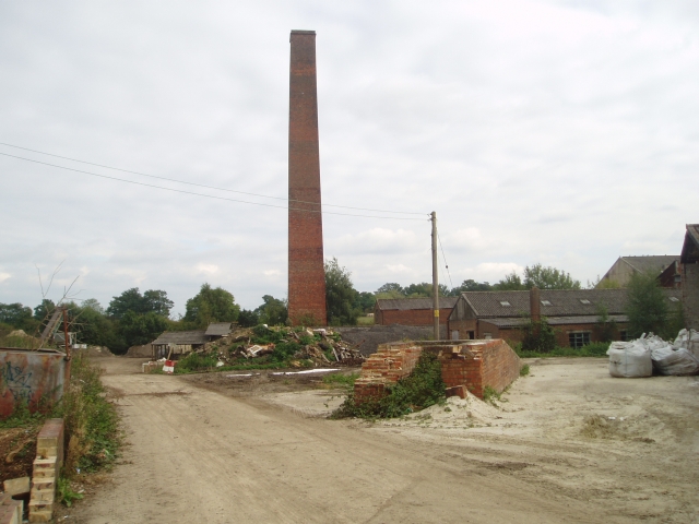
Aside from its natural beauty, Brickmaker's Wood also holds historical significance. The name of the wood is believed to originate from the brickmakers who used to operate in the area in the 19th century. The remains of old brick kilns can still be seen within the wood, providing a glimpse into its industrial past.
Overall, Brickmaker's Wood is a haven of tranquility and natural beauty. Its combination of ancient woodland, diverse wildlife, and historical remnants make it a must-visit destination for those seeking to immerse themselves in the enchanting Surrey countryside.
If you have any feedback on the listing, please let us know in the comments section below.
Brickmaker's Wood Images
Images are sourced within 2km of 51.21373/-0.022694647 or Grid Reference TQ3847. Thanks to Geograph Open Source API. All images are credited.


Brickmaker's Wood is located at Grid Ref: TQ3847 (Lat: 51.21373, Lng: -0.022694647)
Administrative County: Surrey
District: Tandridge
Police Authority: Surrey
What 3 Words
///ladder.select.stay. Near Blindley Heath, Surrey
Nearby Locations
Related Wikis

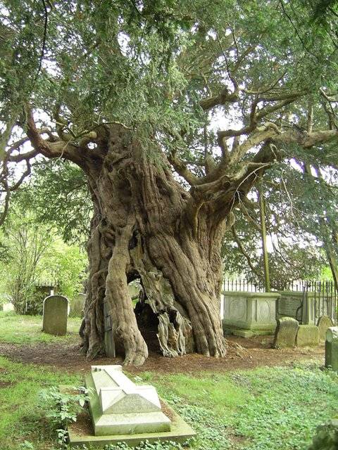
Crowhurst Yew
The Crowhurst Yew is a yew tree in the churchyard of St George's Church in Crowhurst, Surrey, England. It is thought to be about 4,000 years old. Its girth...
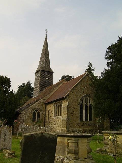
Crowhurst, Surrey
Crowhurst is a village and civil parish in the Tandridge district of Surrey, England. The nearest town is Oxted, 3 miles (5 km) to the north. Rated two...

Crowhurst Place
Crowhurst Place, Crowhurst, Surrey, England is a medieval hall house dating from the early 15th century. In the 20th century, the house was reconstructed...

Godstone railway station
Godstone railway station is on the Redhill to Tonbridge Line and serves Godstone in Surrey, England. It is 28 miles 13 chains (28.16 miles, 45.32 km) measured...

Tandridge
Tandridge is a village and civil parish in the Tandridge District, in the county of Surrey, England. Its nucleus is on a rise of the Greensand Ridge between...

Staffhurst Wood
Staffhurst Wood is a 51-hectare (130-acre) biological Site of Special Scientific Interest south of Oxted in Surrey. It is a Nature Conservation Review...
Blindley Heath SSSI
Blindley Heath SSSI is a 26.3-hectare (65-acre) biological Site of Special Scientific Interest in the hamlet Blindley Heath, on the southern outskirts...

Godstone Ponds
Godstone Ponds is a 13.6-hectare (34-acre) biological Site of Special Scientific Interest in Godstone in Surrey. Bay Pond is an educational nature reserve...
Nearby Amenities
Located within 500m of 51.21373,-0.022694647Have you been to Brickmaker's Wood?
Leave your review of Brickmaker's Wood below (or comments, questions and feedback).