Sandfield Plantation
Wood, Forest in Lincolnshire East Lindsey
England
Sandfield Plantation

Sandfield Plantation is a woodland area located in Lincolnshire, England. Covering an area of approximately 200 hectares, it is a diverse and thriving forest that is home to a wide range of plant and animal species.
The plantation is predominantly made up of native tree species such as oak, beech, and birch, which create a dense and lush canopy. These trees provide a habitat for numerous bird species, including woodpeckers, owls, and various songbirds. The forest floor is carpeted with a rich variety of wildflowers, ferns, and mosses, adding to the area's natural beauty.
Sandfield Plantation is also home to a number of mammal species, including deer, foxes, and badgers. These animals can often be spotted grazing or foraging within the woodland, making it a popular destination for wildlife enthusiasts and nature lovers.
The plantation offers a range of recreational activities for visitors to enjoy. There are several well-maintained walking trails that meander through the forest, allowing visitors to explore the area's natural wonders at their own pace. Additionally, there are designated picnic areas where visitors can relax and enjoy the peaceful surroundings.
Sandfield Plantation is managed by the local authorities with a focus on conservation and sustainability. Efforts are made to maintain the health and diversity of the woodland, ensuring that future generations can continue to enjoy its natural beauty.
If you have any feedback on the listing, please let us know in the comments section below.
Sandfield Plantation Images
Images are sourced within 2km of 53.164229/0.06915136 or Grid Reference TF3865. Thanks to Geograph Open Source API. All images are credited.


Sandfield Plantation is located at Grid Ref: TF3865 (Lat: 53.164229, Lng: 0.06915136)
Administrative County: Lincolnshire
District: East Lindsey
Police Authority: Lincolnshire
What 3 Words
///amplifier.feathers.begun. Near Spilsby, Lincolnshire
Nearby Locations
Related Wikis

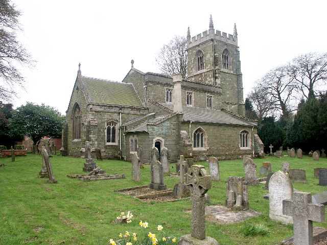
Toynton All Saints
Toynton All Saints is a village and civil parish in the East Lindsey district of Lincolnshire, England, about 1.5 miles (2.4 km) south of the town of Spilsby...
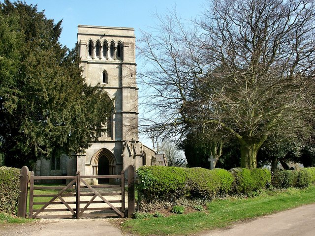
Hundleby
Hundleby is a village and civil parish in the East Lindsey district of Lincolnshire, England. The village is a suburb of the market town of Spilsby.Hundleby...
East Keal
East Keal is a village and civil parish in the East Lindsey district of Lincolnshire, England. It is situated approximately 13 miles (21 km) north from...

Spilsby
Spilsby is a market town and civil parish in the East Lindsey district of Lincolnshire, England. The town is adjacent to the main A16, 33 miles (53 km...

Spilsby railway station
Spilsby railway station was a railway station in the market town of Spilsby, Lincolnshire, England. The station stood on a four mile long branch line between...
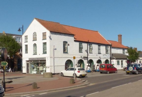
Old Town Hall, Spilsby
The Old Town Hall is a municipal building in the High Street in Spilsby, Lincolnshire, England. The structure, which accommodates some shops and a petrol...

King Edward VI Academy
King Edward VI Academy (formerly King Edward VI Humanities College) is a coeducational bi-lateral secondary school and sixth form with academy status,...

Spilsby Rural District
Spilsby was a rural district in Lincolnshire, parts of Lindsey from 1894 to 1974. It was created by the Local Government Act 1894 from the Spilsby rural...
Nearby Amenities
Located within 500m of 53.164229,0.06915136Have you been to Sandfield Plantation?
Leave your review of Sandfield Plantation below (or comments, questions and feedback).