Sandpits Wood

Wood, Forest in Sussex Mid Sussex

England

Sandpits Wood

Yew Tree Cottage Listed buildings and structures are officially designated as being of special architectural, historical or cultural significance. There are over half a million listed structures in the United Kingdom, covered by around 375,000 listings.
Listed status is more commonly associated with buildings or groups of buildings, however it can cover many other structures, including bridges, headstones, steps, ponds, monuments, walls, phone boxes, wrecks, parks, and heritage sites, and in more recent times a road crossing (Abbey Road) and graffiti art (Banksy 'Spy-booth') have been included.

In England and Wales there are three main listing designations;
Grade I (2.5%) - exceptional interest, sometimes considered to be internationally important.
Grade II* (5.5%) - particularly important buildings of more than special interest. 
Grade II (92%) - nationally important and of special interest. 

There are also locally listed structures (at the discretion of local authorities) using A, B and C designations.

In Scotland three classifications are also used but the criteria are different. There are around 47,500 Listed buildings.
Category A (8%)- generally equivalent to Grade I and II* in England and Wales
Category B (51%)- this appears generally to cover the ground of Grade II, recognising national importance.
Category C (41%)- buildings of local importance, probably with some overlap with English Grade II.

In Northern Ireland the criteria are similar to Scotland, but the classifications are:
Grade A (2.3%)
Grade B+ (4.7%)
Grade B (93%)

Read more at Wikipedia <span class="nowrap"><a title="http://en.wikipedia.org/wiki/Listed_building" rel="nofollow ugc noopener" href="http://en.wikipedia.org/wiki/Listed_building">Link</a><img style="margin-left:2px;" alt="External link" title="External link - shift click to open in new window" src="https://s1.geograph.org.uk/img/external.png" width="10" height="10"/></span>
Yew Tree Cottage Credit: N Chadwick

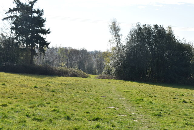
Sandpits Wood is a charming woodland area located in the county of Sussex, England. Covering an approximate area of 50 acres, this woodland is a popular destination for nature lovers, hikers, and birdwatchers alike. It is situated near the village of Sandhurst, just a few miles away from the bustling town of Tunbridge Wells.

The wood is predominantly composed of broadleaf trees such as oak, beech, and ash, creating a diverse and picturesque landscape. The forest floor is carpeted with a variety of flora, including bluebells, primroses, and wild garlic, providing a colorful display during the spring months.

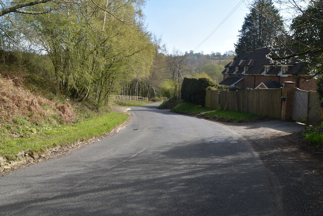
The wood is crisscrossed by numerous footpaths and trails, making it easily accessible for visitors who wish to explore its natural beauty. These paths wind their way through the trees, offering glimpses of enchanting clearings and peaceful glades. There are also several benches scattered throughout the woodland, providing the perfect spot to rest and take in the serene surroundings.

Birdwatchers will be delighted to discover that Sandpits Wood is home to a wide array of avian species. From woodpeckers and owls to songbirds and migratory birds, the woodland provides a haven for feathered creatures. It is not uncommon to hear the melodic sounds of birdsong echoing through the trees as you wander through the woods.

Sandpits Wood is a tranquil escape from the hustle and bustle of daily life, offering a peaceful environment to reconnect with nature. Whether you are seeking a leisurely stroll, a picnic spot, or a place to observe wildlife, this charming woodland is sure to captivate and inspire.

If you have any feedback on the listing, please let us know in the comments section below.

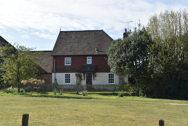
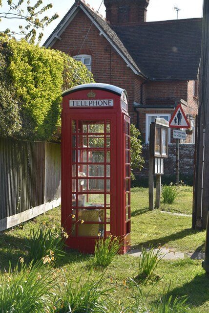
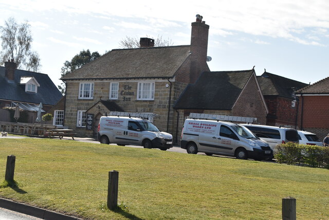
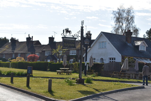
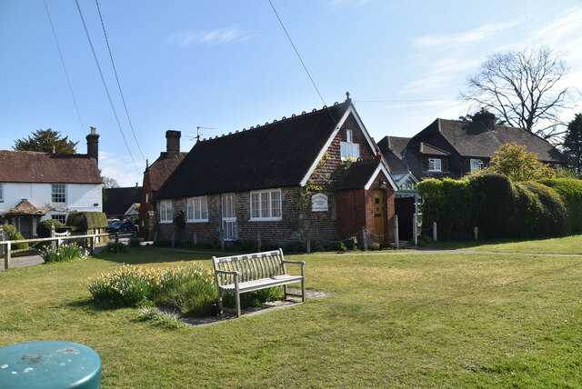
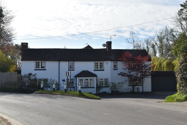
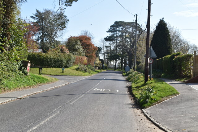
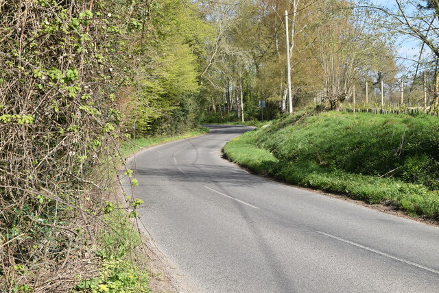
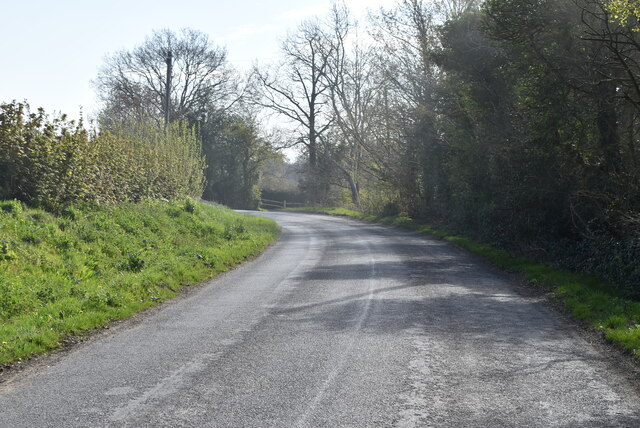
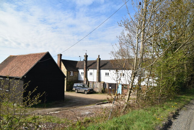
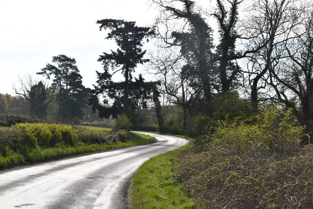
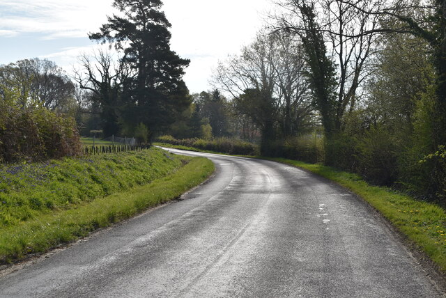
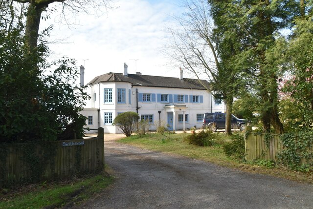
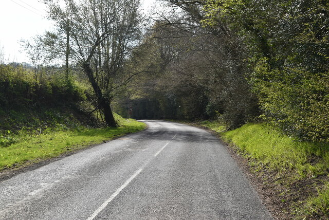
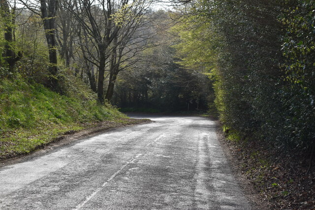
Sandpits Wood Images

Images are sourced within 2km of 51.02866/-0.027486555 or Grid Reference TQ3827. Thanks to Geograph Open Source API. All images are credited.

Yew Tree Cottage Listed buildings and structures are officially designated as being of special architectural, historical or cultural significance. There are over half a million listed structures in the United Kingdom, covered by around 375,000 listings.
Listed status is more commonly associated with buildings or groups of buildings, however it can cover many other structures, including bridges, headstones, steps, ponds, monuments, walls, phone boxes, wrecks, parks, and heritage sites, and in more recent times a road crossing (Abbey Road) and graffiti art (Banksy 'Spy-booth') have been included.

In England and Wales there are three main listing designations;
Grade I (2.5%) - exceptional interest, sometimes considered to be internationally important.
Grade II* (5.5%) - particularly important buildings of more than special interest. 
Grade II (92%) - nationally important and of special interest. 

There are also locally listed structures (at the discretion of local authorities) using A, B and C designations.

In Scotland three classifications are also used but the criteria are different. There are around 47,500 Listed buildings.
Category A (8%)- generally equivalent to Grade I and II* in England and Wales
Category B (51%)- this appears generally to cover the ground of Grade II, recognising national importance.
Category C (41%)- buildings of local importance, probably with some overlap with English Grade II.

In Northern Ireland the criteria are similar to Scotland, but the classifications are:
Grade A (2.3%)
Grade B+ (4.7%)
Grade B (93%)

Read more at Wikipedia <span class="nowrap"><a title="http://en.wikipedia.org/wiki/Listed_building" rel="nofollow ugc noopener" href="http://en.wikipedia.org/wiki/Listed_building">Link</a><img style="margin-left:2px;" alt="External link" title="External link - shift click to open in new window" src="https://s1.geograph.org.uk/img/external.png" width="10" height="10"/></span>
Yew Tree Cottage
Listed buildings and structures are officially designated as being of special architectural, historical or cultural significance. There are over half a million listed structures in the United Kingdom, covered by around 375,000 listings. Listed status is more commonly associated with buildings or groups of buildings, however it can cover many other structures, including bridges, headstones, steps, ponds, monuments, walls, phone boxes, wrecks, parks, and heritage sites, and in more recent times a road crossing (Abbey Road) and graffiti art (Banksy 'Spy-booth') have been included. In England and Wales there are three main listing designations; Grade I (2.5%) - exceptional interest, sometimes considered to be internationally important. Grade II* (5.5%) - particularly important buildings of more than special interest. Grade II (92%) - nationally important and of special interest. There are also locally listed structures (at the discretion of local authorities) using A, B and C designations. In Scotland three classifications are also used but the criteria are different. There are around 47,500 Listed buildings. Category A (8%)- generally equivalent to Grade I and II* in England and Wales Category B (51%)- this appears generally to cover the ground of Grade II, recognising national importance. Category C (41%)- buildings of local importance, probably with some overlap with English Grade II. In Northern Ireland the criteria are similar to Scotland, but the classifications are: Grade A (2.3%) Grade B+ (4.7%) Grade B (93%) Read more at Wikipedia LinkExternal link
The Green Man Listed buildings and structures are officially designated as being of special architectural, historical or cultural significance. There are over half a million listed structures in the United Kingdom, covered by around 375,000 listings.
Listed status is more commonly associated with buildings or groups of buildings, however it can cover many other structures, including bridges, headstones, steps, ponds, monuments, walls, phone boxes, wrecks, parks, and heritage sites, and in more recent times a road crossing (Abbey Road) and graffiti art (Banksy 'Spy-booth') have been included.

In England and Wales there are three main listing designations;
Grade I (2.5%) - exceptional interest, sometimes considered to be internationally important.
Grade II* (5.5%) - particularly important buildings of more than special interest. 
Grade II (92%) - nationally important and of special interest. 

There are also locally listed structures (at the discretion of local authorities) using A, B and C designations.

In Scotland three classifications are also used but the criteria are different. There are around 47,500 Listed buildings.
Category A (8%)- generally equivalent to Grade I and II* in England and Wales
Category B (51%)- this appears generally to cover the ground of Grade II, recognising national importance.
Category C (41%)- buildings of local importance, probably with some overlap with English Grade II.

In Northern Ireland the criteria are similar to Scotland, but the classifications are:
Grade A (2.3%)
Grade B+ (4.7%)
Grade B (93%)

Read more at Wikipedia <span class="nowrap"><a title="http://en.wikipedia.org/wiki/Listed_building" rel="nofollow ugc noopener" href="http://en.wikipedia.org/wiki/Listed_building">Link</a><img style="margin-left:2px;" alt="External link" title="External link - shift click to open in new window" src="https://s1.geograph.org.uk/img/external.png" width="10" height="10"/></span>
The Green Man
Listed buildings and structures are officially designated as being of special architectural, historical or cultural significance. There are over half a million listed structures in the United Kingdom, covered by around 375,000 listings. Listed status is more commonly associated with buildings or groups of buildings, however it can cover many other structures, including bridges, headstones, steps, ponds, monuments, walls, phone boxes, wrecks, parks, and heritage sites, and in more recent times a road crossing (Abbey Road) and graffiti art (Banksy 'Spy-booth') have been included. In England and Wales there are three main listing designations; Grade I (2.5%) - exceptional interest, sometimes considered to be internationally important. Grade II* (5.5%) - particularly important buildings of more than special interest. Grade II (92%) - nationally important and of special interest. There are also locally listed structures (at the discretion of local authorities) using A, B and C designations. In Scotland three classifications are also used but the criteria are different. There are around 47,500 Listed buildings. Category A (8%)- generally equivalent to Grade I and II* in England and Wales Category B (51%)- this appears generally to cover the ground of Grade II, recognising national importance. Category C (41%)- buildings of local importance, probably with some overlap with English Grade II. In Northern Ireland the criteria are similar to Scotland, but the classifications are: Grade A (2.3%) Grade B+ (4.7%) Grade B (93%) Read more at Wikipedia LinkExternal link
Telephone kiosk Horsted Keynes is a village in the Mid Sussex District of West Sussex. It has a village green, two pubs, post office, village store & village hall.
Wikipedia: <span class="nowrap"><a title="https://en.wikipedia.org/wiki/Horsted_Keynes" rel="nofollow ugc noopener" href="https://en.wikipedia.org/wiki/Horsted_Keynes">Link</a><img style="margin-left:2px;" alt="External link" title="External link - shift click to open in new window" src="https://s1.geograph.org.uk/img/external.png" width="10" height="10"/></span>
Telephone kiosk
Horsted Keynes is a village in the Mid Sussex District of West Sussex. It has a village green, two pubs, post office, village store & village hall. Wikipedia: LinkExternal link
The Crown Inn The most popular pub name in the UK. Representative of the King or Queen.
The Crown Inn
The most popular pub name in the UK. Representative of the King or Queen.
Village sign
Village sign
Mission Hall, Horsted Keynes Horsted Keynes is a village in the Mid Sussex District of West Sussex. It has a village green, two pubs, post office, village store & village hall.
Wikipedia: <span class="nowrap"><a title="https://en.wikipedia.org/wiki/Horsted_Keynes" rel="nofollow ugc noopener" href="https://en.wikipedia.org/wiki/Horsted_Keynes">Link</a><img style="margin-left:2px;" alt="External link" title="External link - shift click to open in new window" src="https://s1.geograph.org.uk/img/external.png" width="10" height="10"/></span>
Mission Hall, Horsted Keynes
Horsted Keynes is a village in the Mid Sussex District of West Sussex. It has a village green, two pubs, post office, village store & village hall. Wikipedia: LinkExternal link
Hope Cottages Horsted Keynes is a village in the Mid Sussex District of West Sussex. It has a village green, two pubs, post office, village store & village hall.
Wikipedia: <span class="nowrap"><a title="https://en.wikipedia.org/wiki/Horsted_Keynes" rel="nofollow ugc noopener" href="https://en.wikipedia.org/wiki/Horsted_Keynes">Link</a><img style="margin-left:2px;" alt="External link" title="External link - shift click to open in new window" src="https://s1.geograph.org.uk/img/external.png" width="10" height="10"/></span>
Hope Cottages
Horsted Keynes is a village in the Mid Sussex District of West Sussex. It has a village green, two pubs, post office, village store & village hall. Wikipedia: LinkExternal link
Birchgrove Rd
Birchgrove Rd
Footpath to Danehill Lane
Danehill Lane
Danehill Lane
Danehill Lane
Danehill Lane
Valley Farm
Valley Farm
Danehill Lane
Danehill Lane
Danehill Lane
Danehill Lane
Swithewood
Swithewood
Danehill Lane
Danehill Lane
Danehill Lane
Danehill Lane
Danehill Lane
Danehill Lane
Show me another place!

Sandpits Wood is located at Grid Ref: TQ3827 (Lat: 51.02866, Lng: -0.027486555)

Administrative County: West Sussex

District: Mid Sussex

Police Authority: Sussex

What 3 Words

///decoder.tooth.outlooks. Near Horsted Keynes, West Sussex

Related Wikis

Horsted Keynes

Horsted Keynes KAYNZ is a village and civil parish in the Mid Sussex District of West Sussex, England. The village is about 5 miles (8 km) north east...

Freshfield Lane

Freshfield Lane is a 17-hectare (42-acre) geological Site of Special Scientific Interest east of Haywards Heath in West Sussex. It is a Geological Conservation...

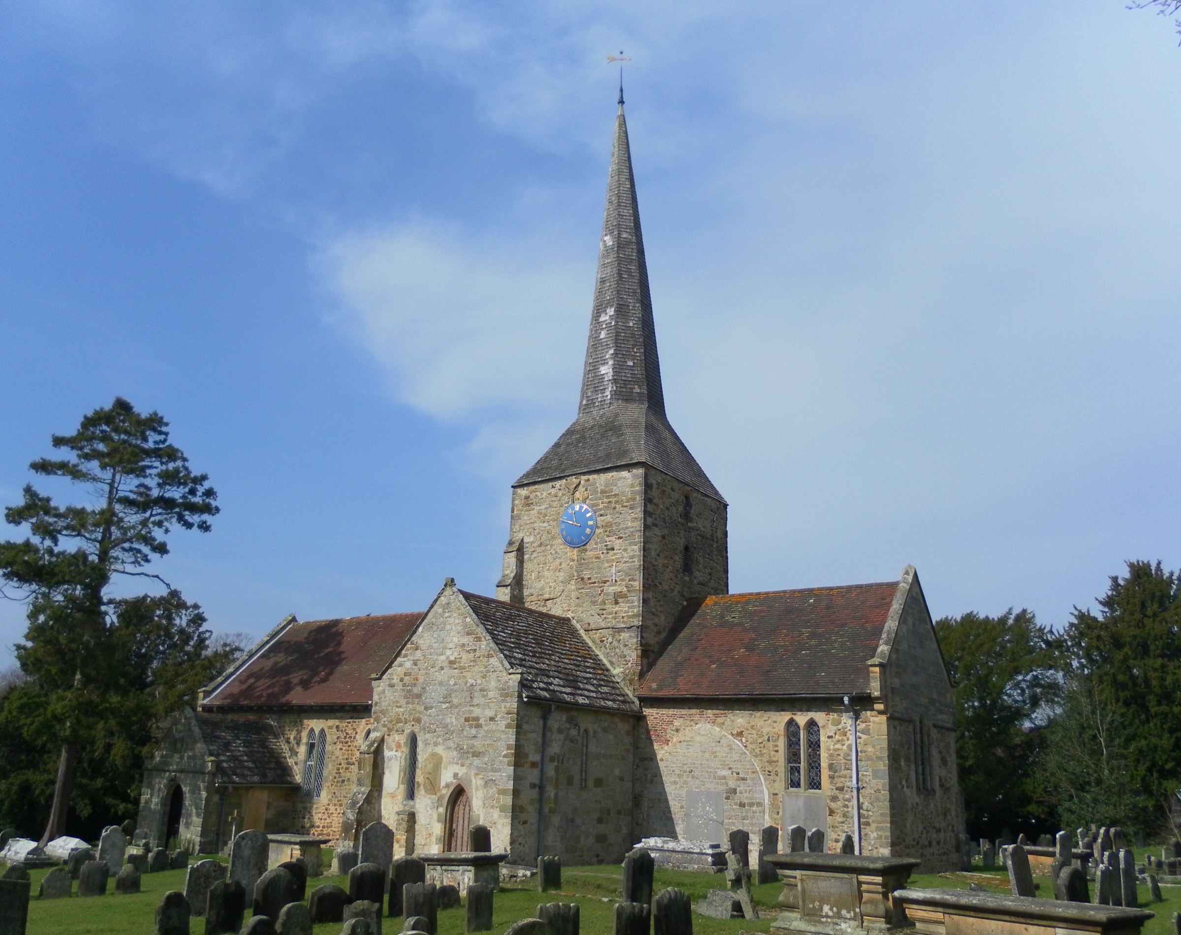
St Giles' Church, Horsted Keynes

St Giles' Church is an Anglican church in the village of Horsted Keynes in Mid Sussex, one of seven local government districts in the English county of...

Bluebell Railway

The Bluebell Railway is an 11 mi (17.7 km) heritage line in West Sussex in England. It is managed by the Bluebell Railway Preservation Society. It uses...

Nearby Amenities

Located within 500m of 51.02866,-0.027486555
Note: FIXME incomplete survey
Lat/Long: 51.0270459/-0.0326701
Barrier: kissing_gate
Lat/Long: 51.0293978/-0.033516
Barrier: kissing_gate
Lat/Long: 51.0304992/-0.0321124
Barrier: stile
Lat/Long: 51.0302529/-0.027386
Barrier: stile
Lat/Long: 51.0269871/-0.0235581
Barrier: kissing_gate
Lat/Long: 51.027597/-0.0297126
Barrier: kissing_gate
Lat/Long: 51.0324832/-0.0243274
Power: pole
Lat/Long: 51.0264075/-0.0226895
Power: pole
Lat/Long: 51.0255942/-0.0252986
Power: pole
Lat/Long: 51.0255834/-0.0228106
Power: pole
Lat/Long: 51.0270042/-0.0225936
Power: pole
Lat/Long: 51.0273262/-0.0223972
Power: pole
Lat/Long: 51.0255449/-0.0241626
Power: pole
Lat/Long: 51.0265878/-0.030528
Power: pole
Lat/Long: 51.0263793/-0.0295636
Power: pole
Lat/Long: 51.0260464/-0.0282308
Power: pole
Lat/Long: 51.025614/-0.0265001
Barrier: kissing_gate
Lat/Long: 51.0280473/-0.0322311
Barrier: kissing_gate
Lat/Long: 51.0271656/-0.0255895
Barrier: kissing_gate
Lat/Long: 51.026866/-0.0263739
The data included in this document is from www.openstreetmap.org. The data is made available under ODbL.

Have you been to Sandpits Wood?

Leave your review of Sandpits Wood below (or comments, questions and feedback).