Barley Croft Plantation
Wood, Forest in Hertfordshire East Hertfordshire
England
Barley Croft Plantation

Barley Croft Plantation is a picturesque woodland located in Hertfordshire, England. Spanning over a vast area, the plantation is known for its dense forest and rich biodiversity. The woodland is situated in close proximity to the village of Barley, which adds to its charm and accessibility.
The forest is predominantly composed of a variety of tree species, including oak, beech, and birch, forming a lush canopy that provides a haven for numerous wildlife species. The undergrowth is abundant with ferns, wildflowers, and shrubs, creating a vibrant and enchanting ecosystem.
Barley Croft Plantation offers a tranquil retreat for nature enthusiasts and outdoor lovers. It boasts well-maintained footpaths and trails, inviting visitors to explore the beauty of the woodland. The plantation is a popular destination for walkers, hikers, and joggers, who can enjoy the serenity of the surroundings while engaging in physical activities.
The woodland is also home to a diverse range of wildlife, including deer, foxes, squirrels, and a variety of bird species. Birdwatchers flock to the plantation in search of rare or migratory birds, making it a birdwatching hotspot in the region.
Barley Croft Plantation is not only a natural paradise but also holds historical significance. The area was once used for timber production and as a hunting ground for local nobility. Today, it preserves its historical charm, with remnants of old structures and boundaries still visible throughout the woodland.
Overall, Barley Croft Plantation in Hertfordshire is a captivating woodland, offering a blend of natural beauty, recreational opportunities, and a glimpse into the region's history. It stands as a testament to the importance of preserving and appreciating the natural wonders that Hertfordshire has to offer.
If you have any feedback on the listing, please let us know in the comments section below.
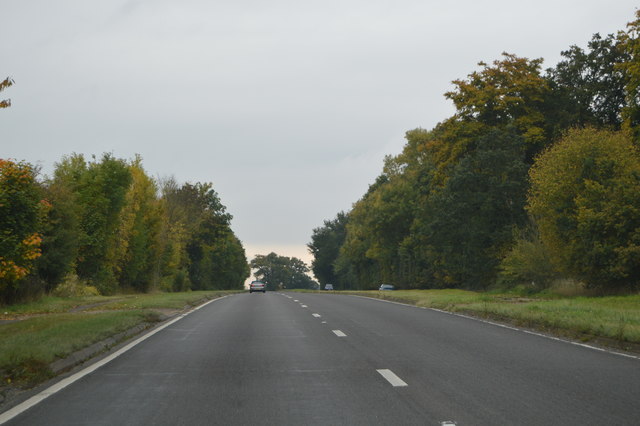
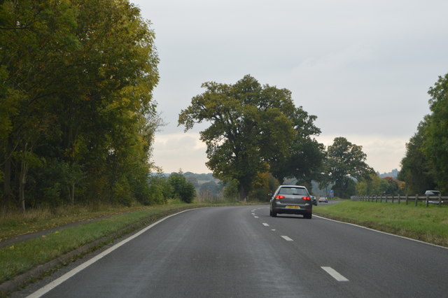
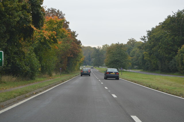
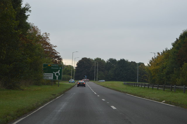
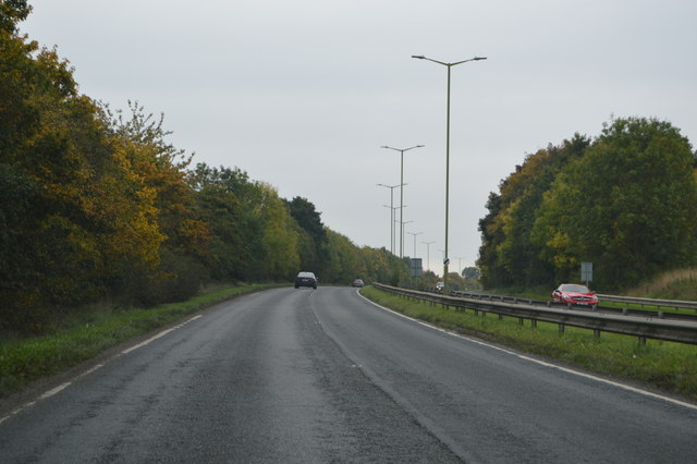
Barley Croft Plantation Images
Images are sourced within 2km of 51.90409/0.010241182 or Grid Reference TL3824. Thanks to Geograph Open Source API. All images are credited.


Barley Croft Plantation is located at Grid Ref: TL3824 (Lat: 51.90409, Lng: 0.010241182)
Administrative County: Hertfordshire
District: East Hertfordshire
Police Authority: Hertfordshire
What 3 Words
///remotest.tripling.upset. Near Puckeridge, Hertfordshire
Related Wikis

Braughing (Roman town)
Braughing was a small town in the Roman province of Britannia. Its name in Latin is unknown. == Location == Today the site is partially occupied by the...
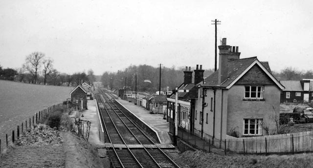
Braughing railway station
Braughing railway station served the village of Braughing, Hertfordshire, England, from 1863 to 1964 on the Buntingford branch line. == History == The...

Puckeridge
Puckeridge is a village in East Hertfordshire, England with a population of 3,561 (2011 Census). It is in the civil parish of Standon. == History == The...

East Hertfordshire
East Hertfordshire is one of ten local government districts in Hertfordshire, England. Its council is based in Hertford, the county town of Hertfordshire...

Braughing
Braughing is a village and civil parish, between the rivers Quin and Rib, in the non-metropolitan district of East Hertfordshire, part of the English...
Bozen Green
Bozen Green is a hamlet in Hertfordshire, England. It includes the lost settlement of Bordesden. It is in the civil parish of Braughing

Nasty, Hertfordshire
Nasty is a hamlet in the East Hertfordshire district of Hertfordshire, England. It is in Great Munden civil parish, around 6 miles (10 km) north of Ware...

Standon railway station
Standon railway station served the village of Standon, Hertfordshire, England, from 1863 to 1965 on the Buntingford branch line. == History == The station...
Related Videos

Freddie and Dolly 10k walk to the Braughing Bone
A gorgeous 10k Spring time dog walk, mostly filmed on GoPro Hero 10, with additional footage captured on GoPro Hero 8.

Video Walkthrough: High Street, Puckeridge - 2 bedroom character cottage
A CHARACTER 2 bedroom property centrally located in Puckeridge conservation high street, with excellent amenities within ...

Video Walkthrough: Tollworth Way, Puckeridge, Herts - 2 Bedroom detached luxury park home
We are delighted to offer this immaculate 2 bedroom 46' x 20' Stately Albion 'Platinum Contemporary' detached park home on this ...

Video Walkthrough: Clements Close, Puckeridge, Herts - 4 bedroom detached house
A rare opportunity to purchase or rent a super 4 bedroom DETACHED HOUSE on this popular village development, within ...
Nearby Amenities
Located within 500m of 51.90409,0.010241182Have you been to Barley Croft Plantation?
Leave your review of Barley Croft Plantation below (or comments, questions and feedback).