The Birches
Wood, Forest in Surrey Tandridge
England
The Birches
The Birches, Surrey is a picturesque woodland area located in the county of Surrey, England. Covering an approximate area of 100 acres, it is known for its dense forest and beautiful birch trees. The woodland is situated near the village of Surrey, providing a tranquil and serene environment for nature lovers and outdoor enthusiasts.
The Birches is home to a diverse range of plant and animal species, making it an ideal spot for wildlife enthusiasts and photographers. The forest boasts a wide variety of bird species, including woodpeckers, thrushes, and owls, making it a popular destination for birdwatchers.
The woodland is crisscrossed by numerous walking trails and paths, allowing visitors to explore its natural beauty at their own pace. These trails are well-maintained and provide access to stunning viewpoints, hidden waterfalls, and peaceful picnic spots. Visitors can also enjoy activities such as hiking, jogging, or cycling through the forest, providing a great opportunity to engage with nature and stay active.
Furthermore, The Birches is a popular spot for nature education and conservation efforts. Local schools and environmental organizations often organize field trips and educational programs to promote awareness and appreciation for the natural world.
Overall, The Birches, Surrey is a haven for nature enthusiasts, offering a peaceful retreat from the bustling city life. With its lush woodland, diverse wildlife, and well-maintained trails, it provides a perfect getaway for those seeking to reconnect with nature and enjoy the beauty of Surrey's woodlands.
If you have any feedback on the listing, please let us know in the comments section below.
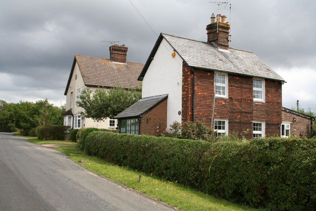
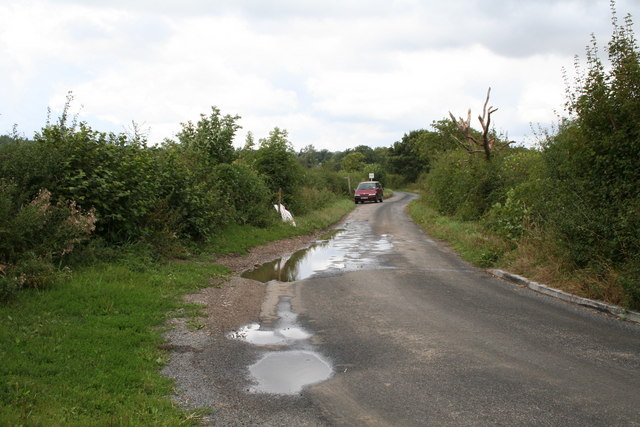
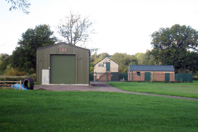
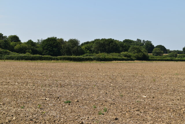
The Birches Images
Images are sourced within 2km of 51.244778/-0.018669647 or Grid Reference TQ3851. Thanks to Geograph Open Source API. All images are credited.


The Birches is located at Grid Ref: TQ3851 (Lat: 51.244778, Lng: -0.018669647)
Administrative County: Surrey
District: Tandridge
Police Authority: Surrey
What 3 Words
///fame.tribal.feared. Near Oxted, Surrey
Nearby Locations
Related Wikis

Tandridge
Tandridge is a village and civil parish in the Tandridge District, in the county of Surrey, England. Its nucleus is on a rise of the Greensand Ridge between...
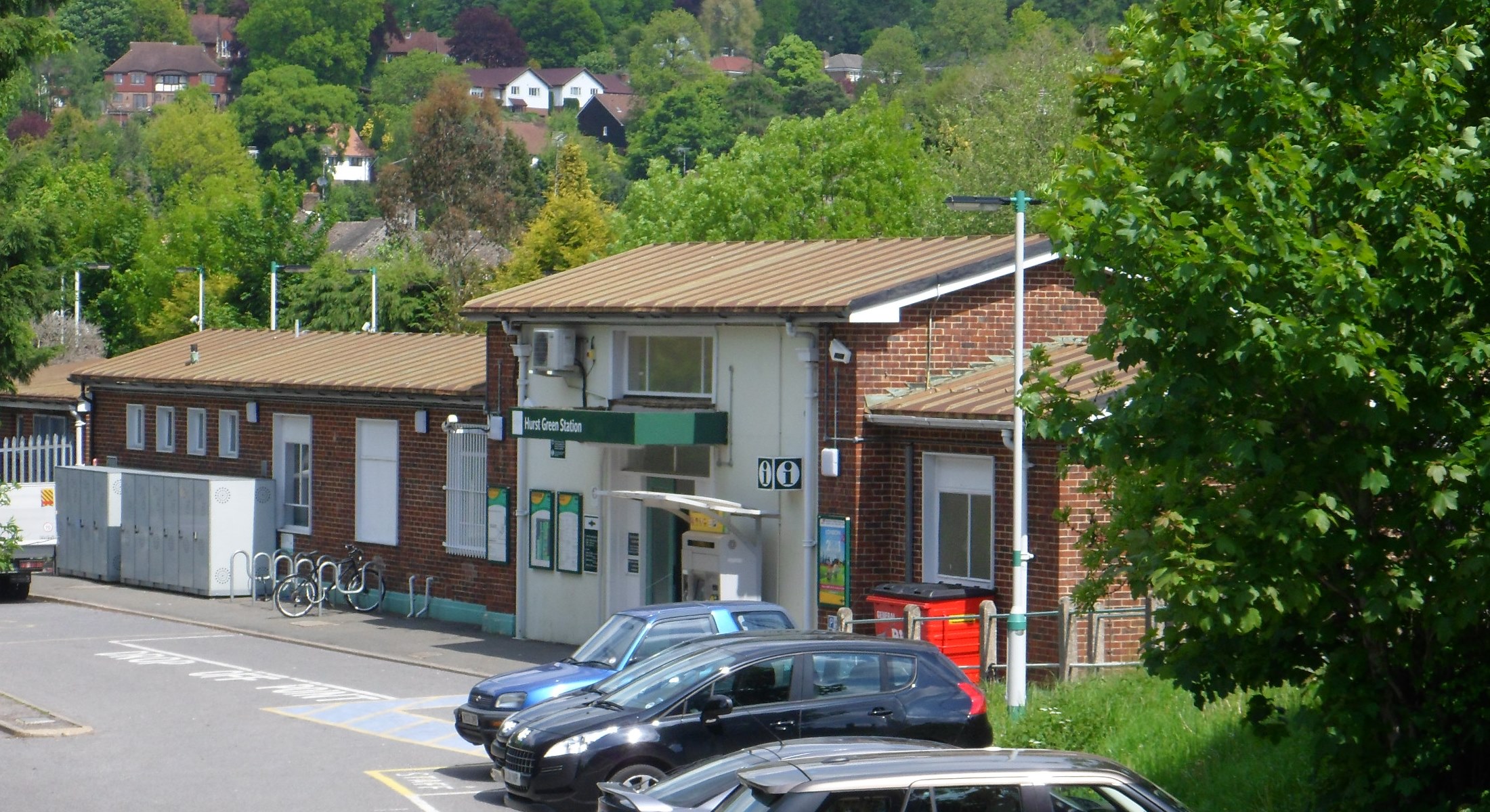
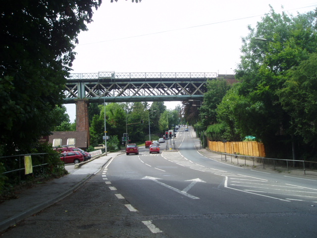
Hurst Green railway station
Hurst Green railway station is on the Oxted line in southern England and serves the Hurst Green neighbourhood of Oxted in Surrey. It is 21 miles 20 chains...
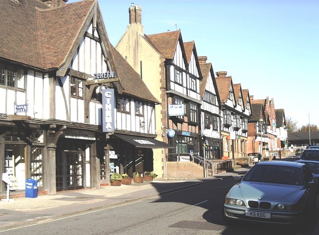
Oxted
Oxted is a town and civil parish in the Tandridge district of Surrey, England, at the foot of the North Downs. It is 9 miles (14 km) south south-east of...

Barrow Green Court
Barrow Green Court is a Grade I listed house near Oxted, Surrey, England.The house was built in the early-17th century, with mid-18th century alterations...
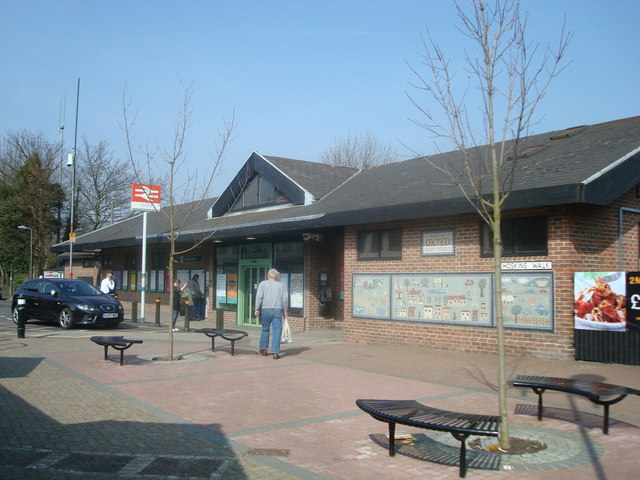
Oxted railway station
Oxted railway station is on the Oxted line in southern England, serving the commuter town of Oxted, Surrey. It is 20 miles 25 chains (20.31 miles, 32.69...

Godstone Rural District
Godstone Rural District was a rural district in Surrey, England from 1894 to 1974, covering an area in the south-east of the county. == Origins == The...

Tandridge District
Tandridge is a local government district in east Surrey, England. Its council is based in Oxted, although the largest settlement is Caterham; other notable...

Hazelwood School
Hazelwood School is a private preparatory school in Limpsfield, Surrey, England. The school was established in 1890 as a boarding school for boys aged...
Nearby Amenities
Located within 500m of 51.244778,-0.018669647Have you been to The Birches?
Leave your review of The Birches below (or comments, questions and feedback).