Nineteen Acre Plantation

Wood, Forest in Lincolnshire East Lindsey

England

Nineteen Acre Plantation

River Lymn NW of Partney Bridge: aerial 2016 Extends into <a href="https://www.geograph.org.uk/gridref/TF3968">TF3968</a>.
River Lymn NW of Partney Bridge: aerial 2016 Credit: Chris

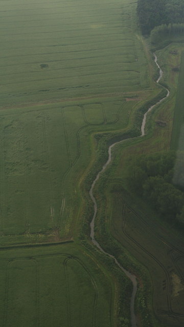
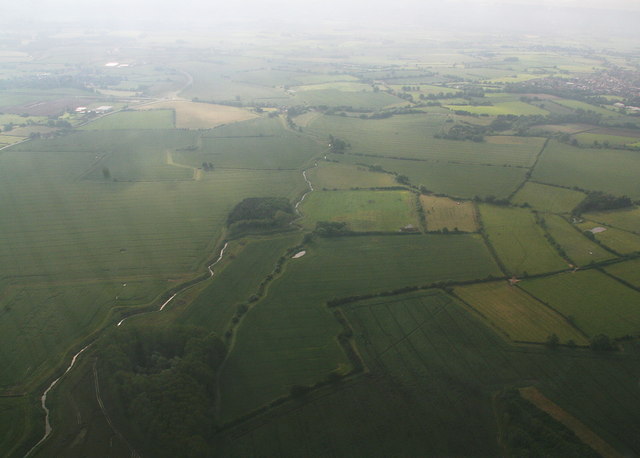
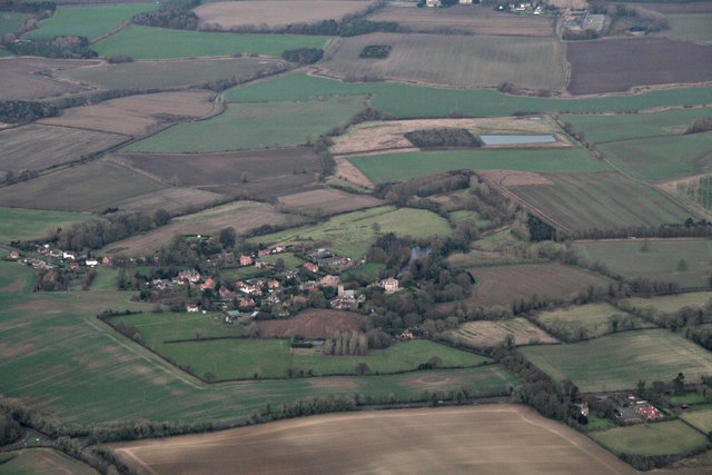
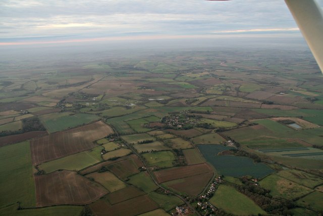
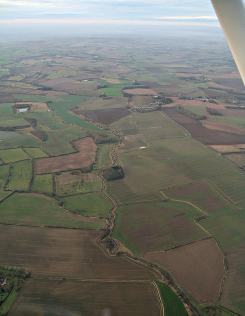
Nineteen Acre Plantation is a picturesque woodland area located in Lincolnshire, England. Covering an expansive area of nineteen acres, this plantation is known for its dense, thriving forest that offers a serene and tranquil escape from the bustling city life.

The plantation is characterized by its diverse range of trees, including oak, ash, beech, and birch, which create a vibrant and lush canopy overhead. The forest floor is carpeted with an array of wildflowers, ferns, and mosses, adding to the natural beauty of the area. The plantation is home to a variety of wildlife, including deer, foxes, and a wide range of bird species, making it a popular spot for nature enthusiasts and birdwatchers.

Visitors to Nineteen Acre Plantation can enjoy a network of walking trails that wind through the forest, providing opportunities for exploration and discovery. These well-maintained paths offer breathtaking views of the surrounding woodland and provide access to secluded picnic areas, allowing visitors to enjoy a leisurely outdoor meal amidst the beauty of nature.

The plantation is also known for its educational programs and guided tours. These initiatives aim to educate visitors about the importance of preserving and protecting natural habitats, as well as raising awareness about the local flora and fauna.

Nineteen Acre Plantation is a cherished natural gem in Lincolnshire, offering a serene and enchanting experience for visitors of all ages. Whether it is a leisurely stroll through the woods, birdwatching, or simply immersing oneself in the tranquility of nature, this plantation provides an idyllic escape from the pressures of modern life.

If you have any feedback on the listing, please let us know in the comments section below.

Nineteen Acre Plantation Images

Images are sourced within 2km of 53.193915/0.06611963 or Grid Reference TF3868. Thanks to Geograph Open Source API. All images are credited.

River Lymn NW of Partney Bridge: aerial 2016 Extends into <a href="https://www.geograph.org.uk/gridref/TF3968">TF3968</a>.
River Lymn NW of Partney Bridge: aerial 2016
Extends into TF3968.
River Lymn NW of Partney Bridge: aerial 2016 Extends into <a href="https://www.geograph.org.uk/gridref/TF3968">TF3968</a> and <a href="https://www.geograph.org.uk/gridref/TF4067">TF4067</a>.
River Lymn NW of Partney Bridge: aerial 2016
Extends into TF3968 and TF4067.
Raithby by Spilsby, Holy Trinity Church The tower of Holy Trinity church.  To the right of the disused doorway is a cut benchmark.  See <span class="nowrap"><a title="http://www.bench-marks.org.uk/bm78106" rel="nofollow ugc noopener" href="http://www.bench-marks.org.uk/bm78106">Link</a><img style="margin-left:2px;" alt="External link" title="External link - shift click to open in new window" src="https://s1.geograph.org.uk/img/external.png" width="10" height="10"/></span> for details and <a title="https://www.geograph.org.uk/photo/5081107" href="https://www.geograph.org.uk/photo/5081107">Link</a> for a close-up.
Raithby by Spilsby, Holy Trinity Church
The tower of Holy Trinity church. To the right of the disused doorway is a cut benchmark. See LinkExternal link for details and Link for a close-up.
Cut Mark: Raithby by Spilsby, Holy Trinity Church A cut benchmark to the right of the disused doorway in the west face of the church tower.  See <span class="nowrap"><a title="http://www.bench-marks.org.uk/bm78106" rel="nofollow ugc noopener" href="http://www.bench-marks.org.uk/bm78106">Link</a><img style="margin-left:2px;" alt="External link" title="External link - shift click to open in new window" src="https://s1.geograph.org.uk/img/external.png" width="10" height="10"/></span> for details of the mark and <a title="https://www.geograph.org.uk/photo/5081104" href="https://www.geograph.org.uk/photo/5081104">Link</a> for a wider view.
Cut Mark: Raithby by Spilsby, Holy Trinity Church
A cut benchmark to the right of the disused doorway in the west face of the church tower. See LinkExternal link for details of the mark and Link for a wider view.
Cut Mark: Raithby, Raithby Road Cut bench mark near the front door of a cottage in Raithby by Spilsby.  See <a title="https://www.geograph.org.uk/photo/5109098" href="https://www.geograph.org.uk/photo/5109098">Link</a> for a view of the cottages and <span class="nowrap"><a title="http://www.bench-marks.org.uk/bm27588" rel="nofollow ugc noopener" href="http://www.bench-marks.org.uk/bm27588">Link</a><img style="margin-left:2px;" alt="External link" title="External link - shift click to open in new window" src="https://s1.geograph.org.uk/img/external.png" width="10" height="10"/></span> for details of the mark.
Cut Mark: Raithby, Raithby Road
Cut bench mark near the front door of a cottage in Raithby by Spilsby. See Link for a view of the cottages and LinkExternal link for details of the mark.
Cottages in Raithby by Spilsby The right-hand cottage carries a cut bench mark close to the extension.  See <a title="https://www.geograph.org.uk/photo/5109093" href="https://www.geograph.org.uk/photo/5109093">Link</a> for a close-up and <span class="nowrap"><a title="http://www.bench-marks.org.uk/bm27588" rel="nofollow ugc noopener" href="http://www.bench-marks.org.uk/bm27588">Link</a><img style="margin-left:2px;" alt="External link" title="External link - shift click to open in new window" src="https://s1.geograph.org.uk/img/external.png" width="10" height="10"/></span> for details of the mark.
Cottages in Raithby by Spilsby
The right-hand cottage carries a cut bench mark close to the extension. See Link for a close-up and LinkExternal link for details of the mark.
Across Cinder Hill and the A158 towards Raithby and Mavis Enderby: aerial 2016
Raithby by Spilsby: aerial 2016
Raithby by Spilsby: aerial 2016 Taken from overhead Hundleby. Mavis Enderby centre left.
Raithby by Spilsby: aerial 2016
Taken from overhead Hundleby. Mavis Enderby centre left.
River Lymn from Partney to Sausthorpe: aerial 2016
Sausthorpe: aerial 2016
Raithby by Spilsby: aerial 2016 From Hundleby.
Raithby by Spilsby: aerial 2016
From Hundleby.
St Mary's church, Hundleby St Mary’s is only about 150 years old however the greenstone external walls and tower look older. There was a 15th century church on the same site, but it had relapsed into such a bad state of repair by the mid 19th century that it had to be pulled down. A much earlier church is recorded in the Domesday Book of 1086.
The present church was built in 1854-55, using some of the old sandstone blocks from the previous church. It cost £1,300 which was raised by Mrs Edward Rawnsley of Raithby Hall, who embroidered and sold exquisite needlework for the cause. The building is Perpendicular in style, as can be seen from the pointed arches of the doors and windows.
St Mary’s consists of a nave, aisle, chancel and a tower with four ancient bells, saved from the previous building. One of the bells is a sanctus bell, and all three can still be rung on special occasions.
The chancel was restored through a donation from the 19th Lord Willoughby de Eresby of Eresby Hall, a residence which has since been demolished.
In the latter part of the 19th century a man fell from the top of the tower. Incredibly he picked himself up and walked away!
St Mary's church, Hundleby
St Mary’s is only about 150 years old however the greenstone external walls and tower look older. There was a 15th century church on the same site, but it had relapsed into such a bad state of repair by the mid 19th century that it had to be pulled down. A much earlier church is recorded in the Domesday Book of 1086. The present church was built in 1854-55, using some of the old sandstone blocks from the previous church. It cost £1,300 which was raised by Mrs Edward Rawnsley of Raithby Hall, who embroidered and sold exquisite needlework for the cause. The building is Perpendicular in style, as can be seen from the pointed arches of the doors and windows. St Mary’s consists of a nave, aisle, chancel and a tower with four ancient bells, saved from the previous building. One of the bells is a sanctus bell, and all three can still be rung on special occasions. The chancel was restored through a donation from the 19th Lord Willoughby de Eresby of Eresby Hall, a residence which has since been demolished. In the latter part of the 19th century a man fell from the top of the tower. Incredibly he picked himself up and walked away!
Interior, St Mary's church, Hundleby
West window, St Mary's church, Hundleby Christ enthroned with St Peter and St Paul.
Other details unknown.
West window, St Mary's church, Hundleby
Christ enthroned with St Peter and St Paul. Other details unknown.
East window detail, St Mary's church, Hundleby Medieval glass in the tracery of the east window depicting a Saint and a Bishop.
East window detail, St Mary's church, Hundleby
Medieval glass in the tracery of the east window depicting a Saint and a Bishop.
St Michael window, St Mary's church, Hundleby Arts & Crafts style window of St Michael in memory of Col. William Henry Millar d. 1926.
St Michael window, St Mary's church, Hundleby
Arts & Crafts style window of St Michael in memory of Col. William Henry Millar d. 1926.
Stained glass window, St Mary's church, Hundleby Jesus walking on water from John 6:20.
In memory of Rev. Alfred West Rainey, sometime Naval Chaplain. He was Organising Secretary of the Mission to Seamen, and this is reflected in the window. I believe he died about 1950.
Stained glass window, St Mary's church, Hundleby
Jesus walking on water from John 6:20. In memory of Rev. Alfred West Rainey, sometime Naval Chaplain. He was Organising Secretary of the Mission to Seamen, and this is reflected in the window. I believe he died about 1950.
Show me another place!

Nineteen Acre Plantation is located at Grid Ref: TF3868 (Lat: 53.193915, Lng: 0.06611963)

Administrative County: Lincolnshire

District: East Lindsey

Police Authority: Lincolnshire

What 3 Words

///mistaking.caramel.implanted. Near Spilsby, Lincolnshire

Related Wikis

Sausthorpe

Sausthorpe is a small village and civil parish in the East Lindsey district of Lincolnshire, England, 8 miles (13 km) east of Horncastle and 3 miles (4...

Raithby by Spilsby

Raithby by Spilsby or Raithby is a village and civil parish in the East Lindsey district of Lincolnshire, England. It is situated about 2 miles (3.2 km...

Chapel at Raithby Hall

The small Methodist chapel at Raithby Hall in Raithby by Spilsby is the oldest Methodist chapel in Lincolnshire, and one of the oldest in England. It is...

Hundleby

Hundleby is a village and civil parish in the East Lindsey district of Lincolnshire, England. The village is a suburb of the market town of Spilsby.Hundleby...

Aswardby

Aswardby (pronounced "as-ard-bee") is a village situated 4 miles (6 km) north-west from Spilsby, in the East Lindsey district of Lincolnshire, England...

Langton by Spilsby

Langton by Spilsby, sometimes called Langton by Partney, is a village and civil parish in the East Lindsey district of Lincolnshire, England. It is situated...

King Edward VI Academy

King Edward VI Academy (formerly King Edward VI Humanities College) is a coeducational bi-lateral secondary school and sixth form with academy status,...

Mavis Enderby

Mavis Enderby is a hamlet and civil parish in the East Lindsey district of Lincolnshire, England. It lies in the Lincolnshire Wolds, 4.5 miles (7 km) east...

Nearby Amenities

Located within 500m of 53.193915,0.06611963
Power: pole
Lat/Long: 53.1933781/0.0635321
Power: pole
Lat/Long: 53.1935685/0.0601083
Power: pole
Lat/Long: 53.1928397/0.0662586
Power: pole
Lat/Long: 53.1933106/0.0647565
Power: pole
Lat/Long: 53.1934785/0.0617095
Power: pole
Lat/Long: 53.1923229/0.0678992
Power: pole
Lat/Long: 53.1917703/0.0696931
Power: pole
Lat/Long: 53.1913442/0.0710133
Sausthorpe Bridge
Place: locality
Source: Bing
Lat/Long: 53.1973715/0.0619798
The data included in this document is from www.openstreetmap.org. The data is made available under ODbL.

Have you been to Nineteen Acre Plantation?

Leave your review of Nineteen Acre Plantation below (or comments, questions and feedback).