Birchen Shaw

Wood, Forest in Surrey Tandridge

England

Birchen Shaw

Warlingham Park The old tower (1903) of the Warlingham Park Hospital (formerly known as the Croydon Mental Hospital) is still standing and can be seen for miles, but the place is now an exclusive gated residential community.
Warlingham Park Credit: Nigel Freeman

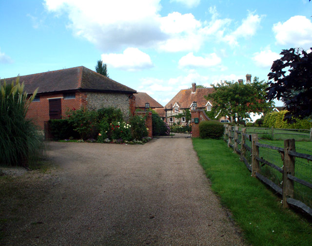
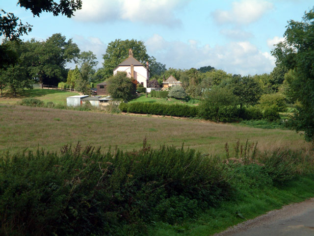
Birchen Shaw is a picturesque woodland area located in Surrey, England. This serene forest is renowned for its natural beauty and offers a tranquil escape from the hustle and bustle of urban life. The name "Birchen Shaw" refers to the abundance of birch trees that dominate the landscape, providing a distinctive and enchanting atmosphere.

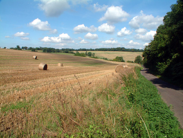
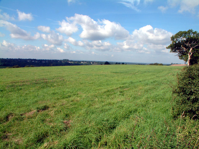
Situated in the heart of Surrey, Birchen Shaw is easily accessible and attracts visitors from near and far. The forest covers a vast area, offering diverse ecosystems that support a wide range of flora and fauna. It is home to various wildlife species, including deer, foxes, and a variety of bird species, making it a popular spot for nature enthusiasts and birdwatchers.

The forest offers numerous walking trails, allowing visitors to explore and immerse themselves in the beauty of the surroundings. The well-maintained paths wind through the woodland, offering breathtaking views of towering trees, vibrant foliage, and meandering streams. The peaceful ambiance and the sounds of birdsong create an idyllic setting for a leisurely stroll or a more challenging hike.

Birchen Shaw also serves as an educational and recreational space for the local community. It offers opportunities for outdoor learning and environmental education programs, engaging visitors of all ages in the importance of conservation and the natural world.

In conclusion, Birchen Shaw is a captivating woodland area in Surrey, offering a soothing and rejuvenating experience for nature lovers. Its lush greenery, diverse wildlife, and well-maintained trails make it a perfect destination for those seeking solace in the beauty of nature.

If you have any feedback on the listing, please let us know in the comments section below.
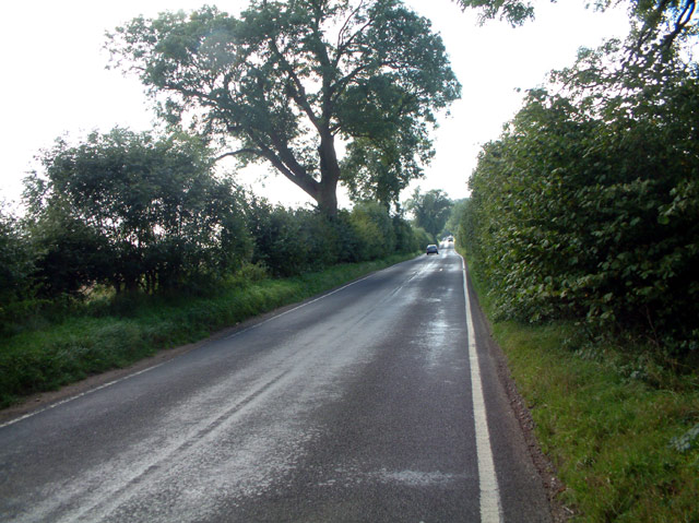
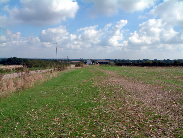
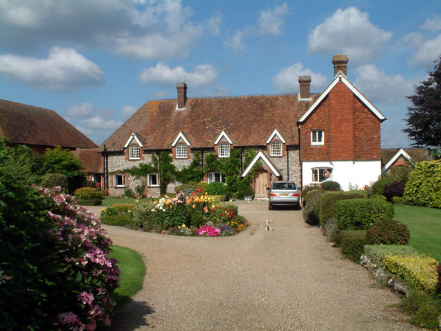
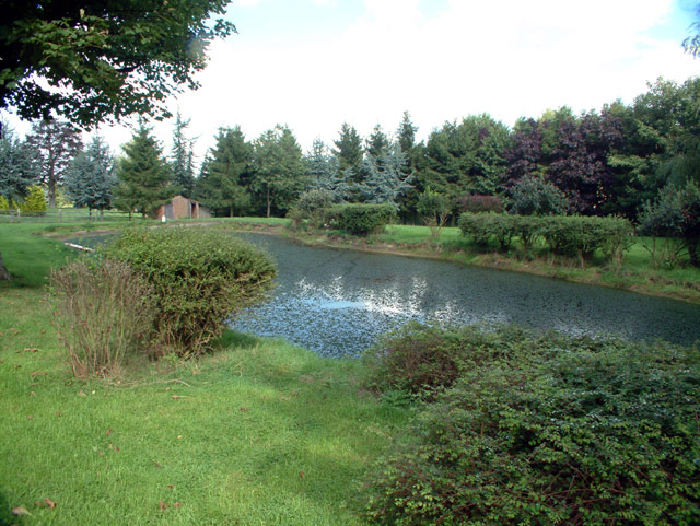
Birchen Shaw Images

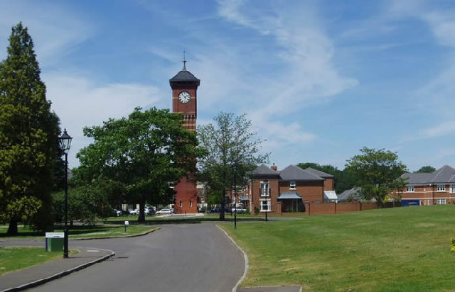
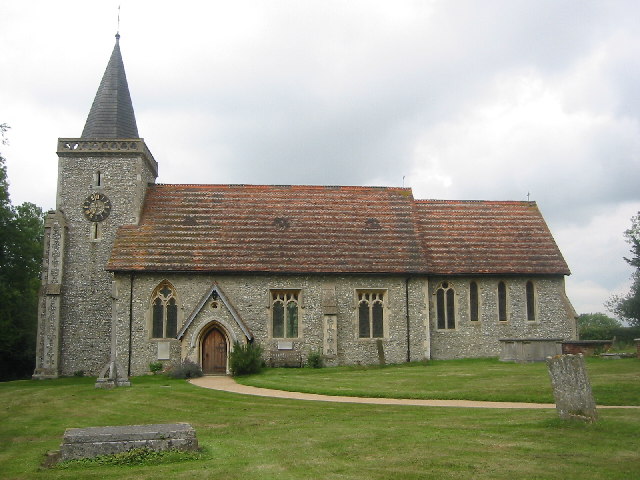
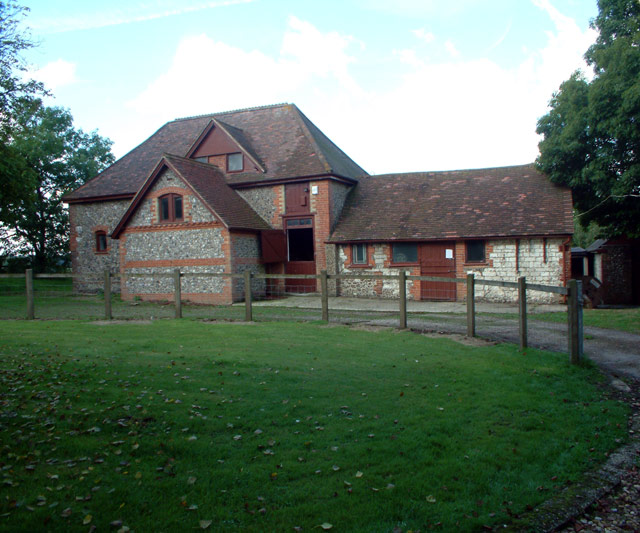
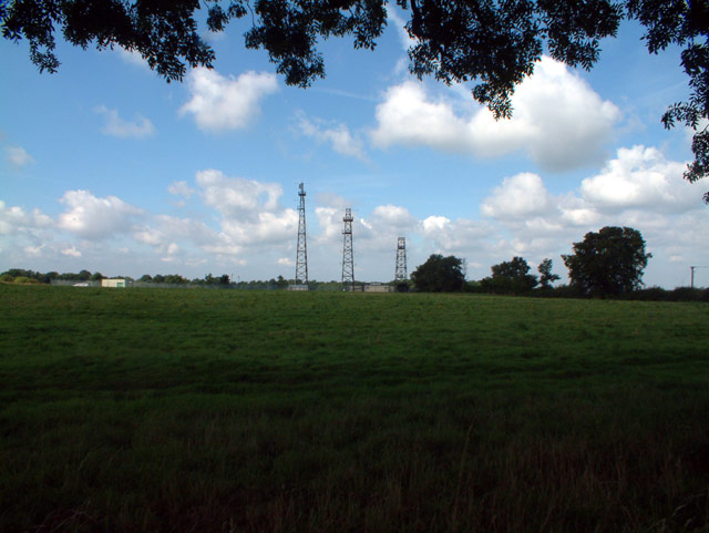
Images are sourced within 2km of 51.304789/-0.020820606 or Grid Reference TQ3858. Thanks to Geograph Open Source API. All images are credited.

Warlingham Park The old tower (1903) of the Warlingham Park Hospital (formerly known as the Croydon Mental Hospital) is still standing and can be seen for miles, but the place is now an exclusive gated residential community.
Warlingham Park
The old tower (1903) of the Warlingham Park Hospital (formerly known as the Croydon Mental Hospital) is still standing and can be seen for miles, but the place is now an exclusive gated residential community.
The Parish Church of St. Leonard Chelsham Located on a footpath off Church Lane Chelsham, near Warlingham
See <span class="nowrap"><a title="http://www.southwark.anglican.org/parishes/303k2_a.htm" rel="nofollow ugc noopener" href="http://www.southwark.anglican.org/parishes/303k2_a.htm">Link</a><img style="margin-left:2px;" alt="External link" title="External link - shift click to open in new window" src="https://s1.geograph.org.uk/img/external.png" width="10" height="10"/></span>
The Parish Church of St. Leonard Chelsham
Located on a footpath off Church Lane Chelsham, near Warlingham See LinkExternal link
Knights Garden Centre, Warlingham CR6 off Limpsfield Road
Knights Garden Centre, Warlingham CR6
off Limpsfield Road
Woldingham Golf Club from Halliloo Valley Road CR3 Previously known as Duke's Dene. The clubhouse is on the site of the former Halliloo Farm. Haliloo Plantation occupies the ridge on the horizon.
Woldingham Golf Club from Halliloo Valley Road CR3
Previously known as Duke's Dene. The clubhouse is on the site of the former Halliloo Farm. Haliloo Plantation occupies the ridge on the horizon.
Pond at junction of Limpsfield Road and Slines Oak Road, CR6 To the southwest of the junction. Limpsfield Road is just visible at the top right.
Pond at junction of Limpsfield Road and Slines Oak Road, CR6
To the southwest of the junction. Limpsfield Road is just visible at the top right.
Warren Barn Farm, Slines Oak Road, Woldingham CR3 Down the track to the left of the farmhouse is the Green Dragons Hang-gliding and Paragliding School and Club, which is based on the farm.
Warren Barn Farm, Slines Oak Road, Woldingham CR3
Down the track to the left of the farmhouse is the Green Dragons Hang-gliding and Paragliding School and Club, which is based on the farm.
Slines Oak Road, Woldingham CR3 View northwest from end of Butlers Dene Road.
Slines Oak Road, Woldingham CR3
View northwest from end of Butlers Dene Road.
Stables at entrance to Chelsham Court, CR6
Washpond Cottages, Washpond Lane, CR6
Henley Wood, CR6 Looking west from Ledgers Road.
Henley Wood, CR6
Looking west from Ledgers Road.
Radio station and masts by Beech Farm Road, CR6
Beech Farm Road, CR6 Looking south.
Beech Farm Road, CR6
Looking south.
Cheverells Farm Cottages, Croydon Road, Warlingham, CR6
Beddlestead House (former Beddlestead Farm), Chelsham, CR6 A grade II* listed building. The nearby barn is also listed.
Beddlestead House (former Beddlestead Farm), Chelsham, CR6
A grade II* listed building. The nearby barn is also listed.
Pond at Beddlestead House, Beddlestead Lane, Chelsham CR6
Barn at Beddlestead House, Chelsham, CR6 The barn (on the left) is grade II listed, and the house is grade II*.
Barn at Beddlestead House, Chelsham, CR6
The barn (on the left) is grade II listed, and the house is grade II*.
Beddlestead Lane, Chelsham, CR6 Looking north.
Beddlestead Lane, Chelsham, CR6
Looking north.
Looking northwest from Croydon Road, CR6
Show me another place!

Birchen Shaw is located at Grid Ref: TQ3858 (Lat: 51.304789, Lng: -0.020820606)

Administrative County: Surrey

District: Tandridge

Police Authority: Surrey

What 3 Words

///vanish.reason.pans. Near Woldingham, Surrey

Related Wikis

Nore Hill Pinnacle

Nore Hill Pinnacle is a 0.2-hectare (0.49-acre) local nature reserve east of Warlingham in Surrey, England. It is owned by the Earl Compton Estate and...
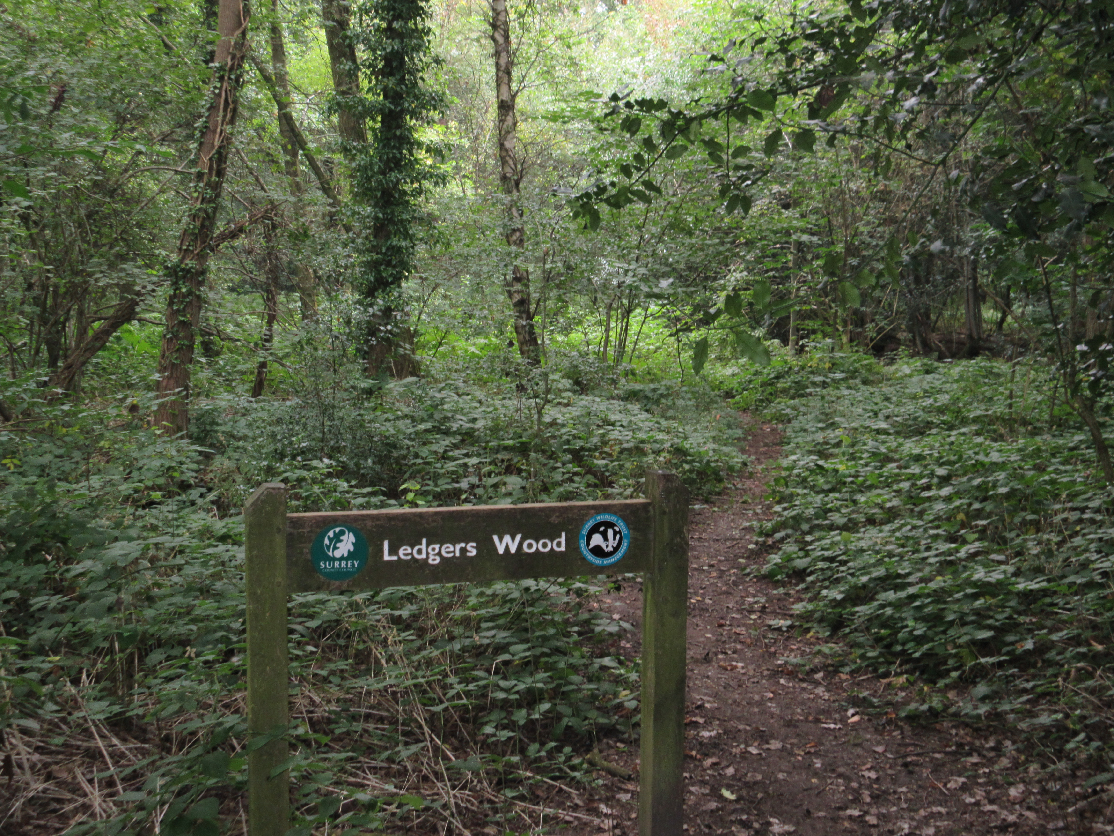
Ledgers Wood

Ledgers Wood is a 7-hectare (17-acre) nature reserve in Chelsham in Surrey. It is owned by Surrey County Council and managed by the Surrey Wildlife Trust...

Chelsham

Chelsham is a village and former civil parish, now in the parish of Chelsham and Farleigh and the Tandridge district of Surrey, England. It is located...

Chelsham and Farleigh

Chelsham and Farleigh is a civil parish in the Tandridge District of Surrey, England. The parish is high on the North Downs and centred 14 miles (23 km...

Nearby Amenities

Located within 500m of 51.304789,-0.020820606
Barrier: stile
Lat/Long: 51.305733/-0.0162413
Barrier: stile
Lat/Long: 51.3050841/-0.0182478
Barrier: stile
Lat/Long: 51.3049097/-0.0199858
Man Made: mast
Tower Type: communication
Lat/Long: 51.3030857/-0.0166213
Man Made: mast
Tower Type: communication
Lat/Long: 51.3032271/-0.0165399
Man Made: mast
Tower Type: communication
Lat/Long: 51.3034074/-0.0165634
Barrier: stile
Lat/Long: 51.3059542/-0.015621
Barrier: stile
Lat/Long: 51.3042968/-0.0217997
Barrier: stile
Lat/Long: 51.3081776/-0.0176319
Communication: pole
Lat/Long: 51.3080437/-0.0160218
The data included in this document is from www.openstreetmap.org. The data is made available under ODbL.

Have you been to Birchen Shaw?

Leave your review of Birchen Shaw below (or comments, questions and feedback).