Alswickhall Wood

Wood, Forest in Hertfordshire East Hertfordshire

England

Alswickhall Wood

Layston Church Near Buntingford, Layston Village was abandoned a long time ago.
Layston Church Credit: mym

Alswickhall Wood is a picturesque woodland situated in Hertfordshire, England. Covering an area of approximately 30 hectares, the wood is nestled in the heart of the East Hertfordshire countryside, just a few miles north of the town of Buntingford.

The woodland is predominantly composed of broadleaf trees, with a variety of species including oak, beech, and ash. These towering trees create a dense canopy that provides shade and shelter for a diverse range of flora and fauna.

Alswickhall Wood is a haven for wildlife enthusiasts, as it is home to numerous species of birds, small mammals, and insects. Visitors may spot woodpeckers, owls, and various songbirds flitting between the branches, while squirrels and rabbits can often be seen scurrying along the forest floor.

The wood is crisscrossed with a network of footpaths, allowing visitors to explore its natural beauty at their own pace. These trails wind through the trees, leading to clearings and open spaces where visitors can pause and take in the tranquil surroundings.

In addition to its natural beauty, Alswickhall Wood also holds historical significance. The wood is believed to have been part of a medieval deer park, and remnants of ancient earthworks can still be seen today.

Alswickhall Wood offers a peaceful escape from the hustle and bustle of everyday life, providing visitors with the opportunity to connect with nature and enjoy the beauty of the Hertfordshire countryside.

If you have any feedback on the listing, please let us know in the comments section below.

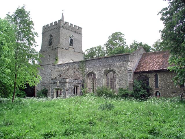
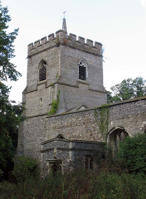
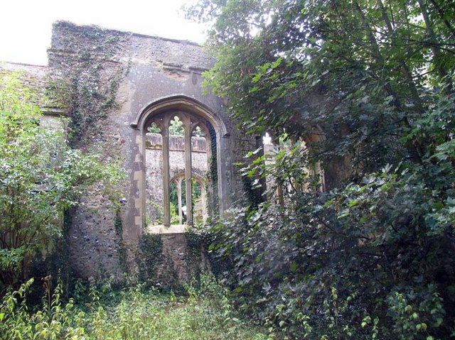
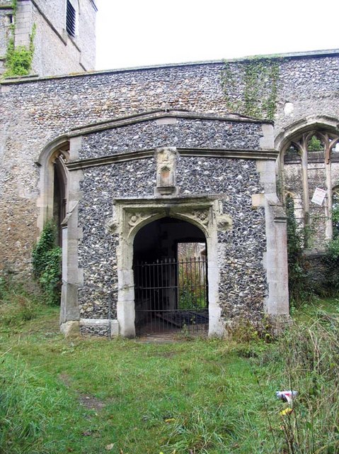
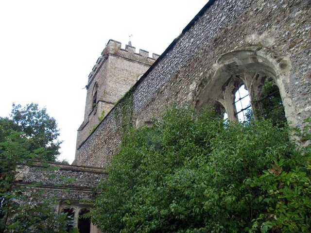
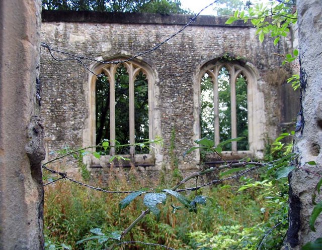
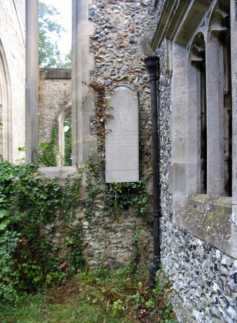
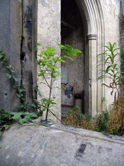
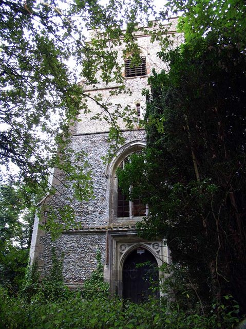
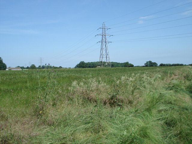
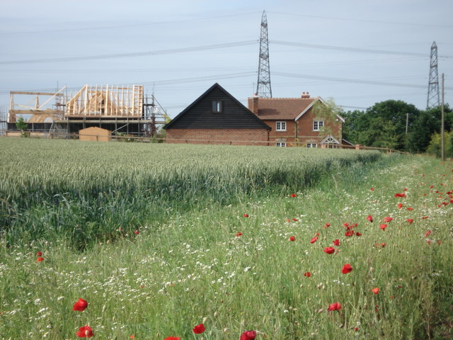
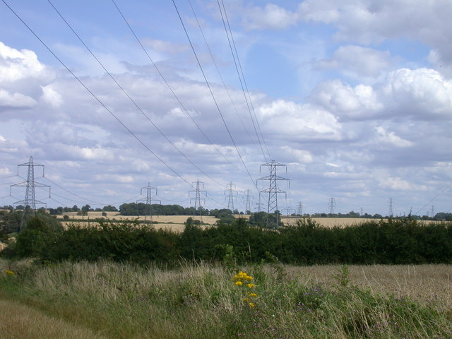
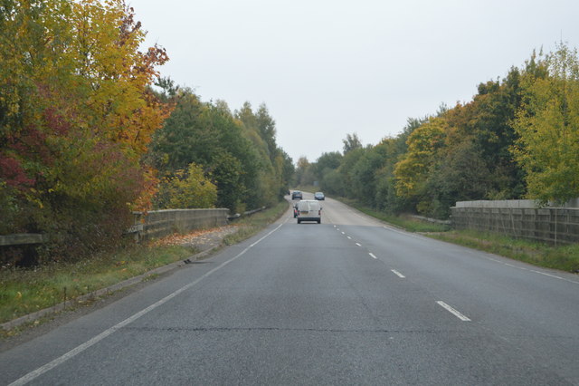
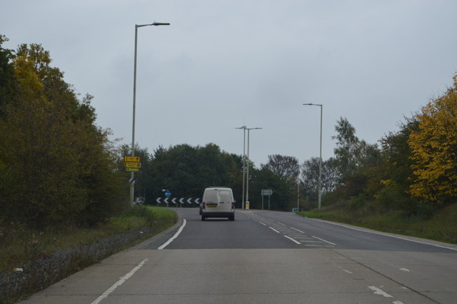
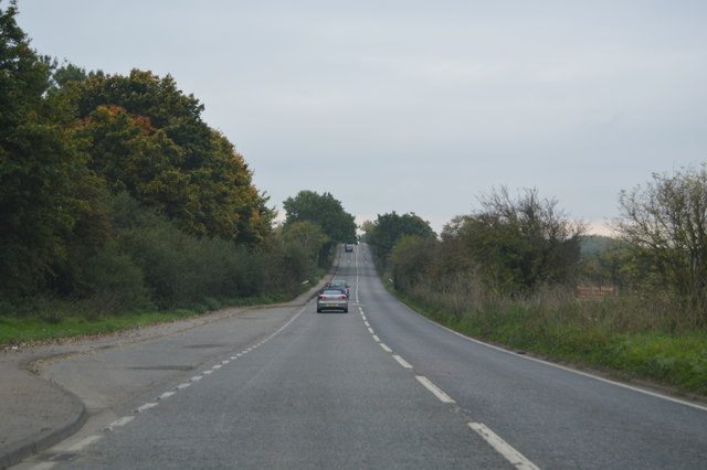
Alswickhall Wood Images

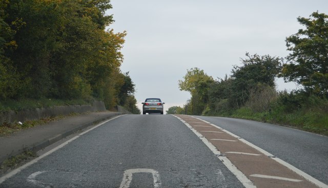
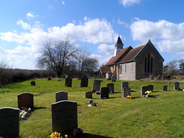
Images are sourced within 2km of 51.945929/0.007149797 or Grid Reference TL3829. Thanks to Geograph Open Source API. All images are credited.

Layston Church Near Buntingford, Layston Village was abandoned a long time ago.
Layston Church
Near Buntingford, Layston Village was abandoned a long time ago.
St Bartholomew, Layston, Herts - Ruin
St Bartholomew, Layston, Herts - Ruin Holy water stoup
St Bartholomew, Layston, Herts - Ruin
Holy water stoup
St Bartholomew, Layston, Herts - Ruin
View to Beauchamps Plantation and Moles Farm
Barn conversion in progress, Bradbury Farm
Pylons, Pylons, Pylons, Pylons, Ragwort and Pylons The visual equivalent of spam.
Pylons, Pylons, Pylons, Pylons, Ragwort and Pylons
The visual equivalent of spam.
A10, Aspenden Bridge The A10 runs 161 miles from London to King's Lynn. via Cambridge and Ely. 
<span class="nowrap"><a title="http://www.sabre-roads.org.uk/wiki/index.php?title=A10" rel="nofollow ugc noopener" href="http://www.sabre-roads.org.uk/wiki/index.php?title=A10">Link</a><img style="margin-left:2px;" alt="External link" title="External link - shift click to open in new window" src="https://s1.geograph.org.uk/img/external.png" width="10" height="10"/></span>
A10, Aspenden Bridge
The A10 runs 161 miles from London to King's Lynn. via Cambridge and Ely. LinkExternal link
Approaching the end of the Buntingford bypass The A10 runs 161 miles from London to King's Lynn. via Cambridge and Ely. 
<span class="nowrap"><a title="http://www.sabre-roads.org.uk/wiki/index.php?title=A10" rel="nofollow ugc noopener" href="http://www.sabre-roads.org.uk/wiki/index.php?title=A10">Link</a><img style="margin-left:2px;" alt="External link" title="External link - shift click to open in new window" src="https://s1.geograph.org.uk/img/external.png" width="10" height="10"/></span>
Approaching the end of the Buntingford bypass
The A10 runs 161 miles from London to King's Lynn. via Cambridge and Ely. LinkExternal link
A10, Ermine Street The A10 runs 161 miles from London to King's Lynn. via Cambridge and Ely. 
<span class="nowrap"><a title="http://www.sabre-roads.org.uk/wiki/index.php?title=A10" rel="nofollow ugc noopener" href="http://www.sabre-roads.org.uk/wiki/index.php?title=A10">Link</a><img style="margin-left:2px;" alt="External link" title="External link - shift click to open in new window" src="https://s1.geograph.org.uk/img/external.png" width="10" height="10"/></span>
A10, Ermine Street
The A10 runs 161 miles from London to King's Lynn. via Cambridge and Ely. LinkExternal link
Ermine Street The old Roman Road from London to Lincoln and York.

Wikipedia entry: <span class="nowrap"><a title="http://en.wikipedia.org/wiki/Ermine_Street" rel="nofollow ugc noopener" href="http://en.wikipedia.org/wiki/Ermine_Street">Link</a><img style="margin-left:2px;" alt="External link" title="External link - shift click to open in new window" src="https://s1.geograph.org.uk/img/external.png" width="10" height="10"/></span>
Ermine Street
The old Roman Road from London to Lincoln and York. Wikipedia entry: LinkExternal link
St Mary, Little Hormead The nave is C11/C12, the bellcote is C15 and the church was restored in 1888.
St Mary, Little Hormead
The nave is C11/C12, the bellcote is C15 and the church was restored in 1888.
Show me another place!

Alswickhall Wood is located at Grid Ref: TL3829 (Lat: 51.945929, Lng: 0.007149797)

Administrative County: Hertfordshire

District: East Hertfordshire

Police Authority: Hertfordshire

What 3 Words

///efficient.search.twice. Near Buntingford, Hertfordshire

Nearby Locations

Alswickhall Wood

Related Wikis

Wyddial

Wyddial is a village and civil parish in the East Hertfordshire district of Hertfordshire, England. It is located around a mile and a half north-east of...
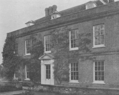
Hare Street House

Hare Street House is a Grade II* listed building in the hamlet of Hare Street that lies between Buntingford and Great Hormead in the East Hertfordshire...

Buntingford

Buntingford is a market town and civil parish in the district of East Hertfordshire and county of Hertfordshire in England. It lies next to the River Rib...

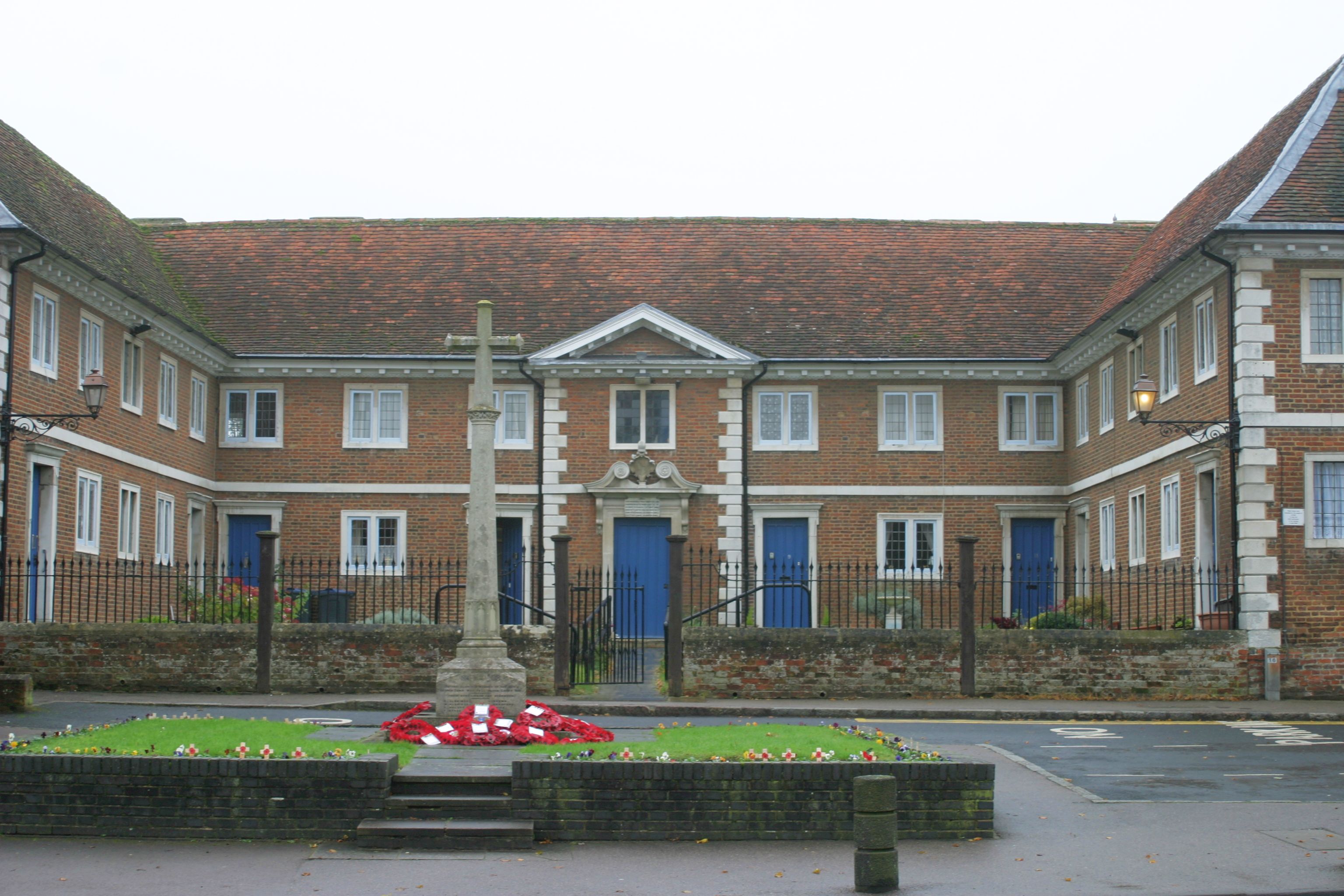
Buntingford almshouses

Buntingford Almshouses is a grade II* listed building on the High street of the Hertfordshire town of Buntingford. The building was erected in 1684 by...

Braughing Rural District

Braughing was a rural district in Hertfordshire, England from 1935 to 1974. == Creation == Braughing Rural District was created on 1 April 1935 under a...

Buntingford Rural District

Buntingford Rural District was a rural district in Hertfordshire, England from 1894 to 1935, covering the town of Buntingford and a number of surrounding...

Buntingford railway station

Buntingford railway station is a former station in Buntingford, Hertfordshire, England. It served as the terminus of a branch from the Hertford East Branch...

Benson Memorial Church

The Benson Memorial Church, dedicated to St Richard of Chichester, is an English Roman Catholic church in the Hertfordshire town of Buntingford. Its name...

Nearby Amenities

Located within 500m of 51.945929,0.007149797
Barrier: kissing_gate
Lat/Long: 51.9475896/0.0034094
Material: wood
Power: pole
Lat/Long: 51.9491124/0.003184
Material: wood
Power: pole
Lat/Long: 51.9448538/0.0034723
Material: wood
Power: pole
Lat/Long: 51.9430116/0.003594
Material: wood
Power: pole
Lat/Long: 51.9439246/0.0035313
Material: wood
Power: pole
Source: bing
Lat/Long: 51.9475578/0.0032895
Material: wood
Power: pole
Source: bing
Lat/Long: 51.9489025/0.0032048
Bench
Backrest: no
Colour: white
Material: wood
Seats: 2
Lat/Long: 51.9443856/0.0095782
Barrier: kissing_gate
Lat/Long: 51.9483009/0.0059016
Barrier: kissing_gate
Lat/Long: 51.9487866/0.0026998
Barrier: swing_gate
Lat/Long: 51.9453131/0.0058604
The data included in this document is from www.openstreetmap.org. The data is made available under ODbL.

Have you been to Alswickhall Wood?

Leave your review of Alswickhall Wood below (or comments, questions and feedback).