Ridden's Wood
Wood, Forest in Sussex Lewes
England
Ridden's Wood
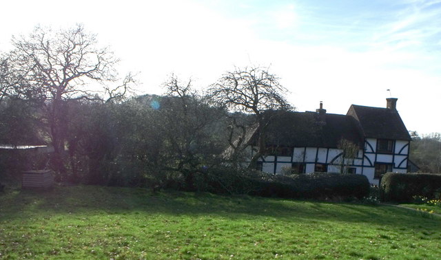
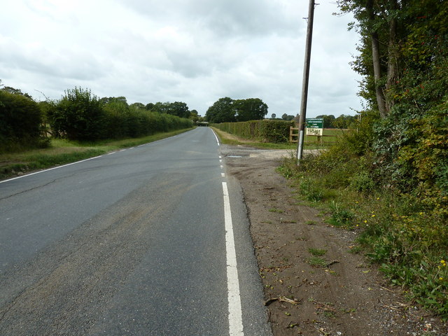
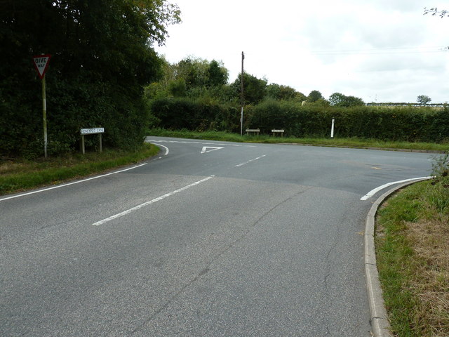
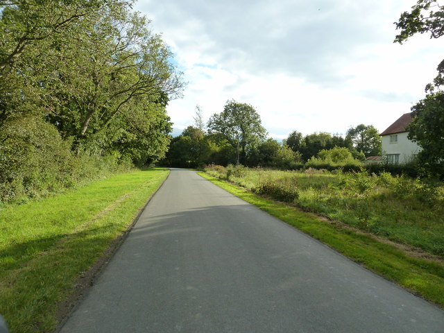
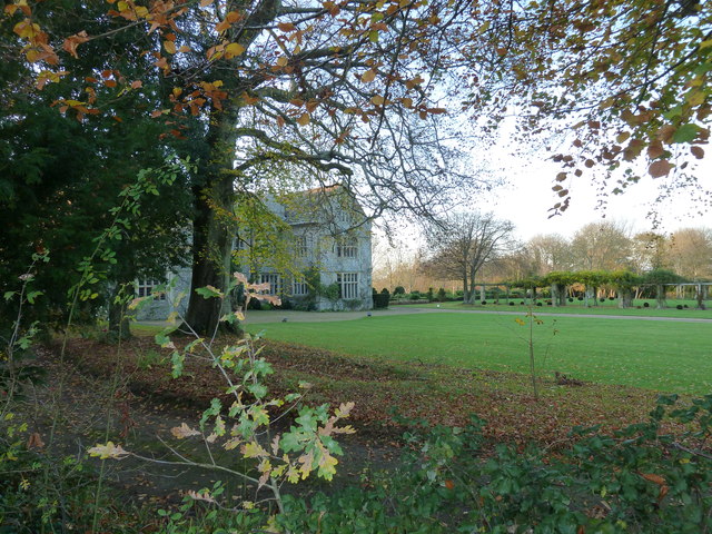
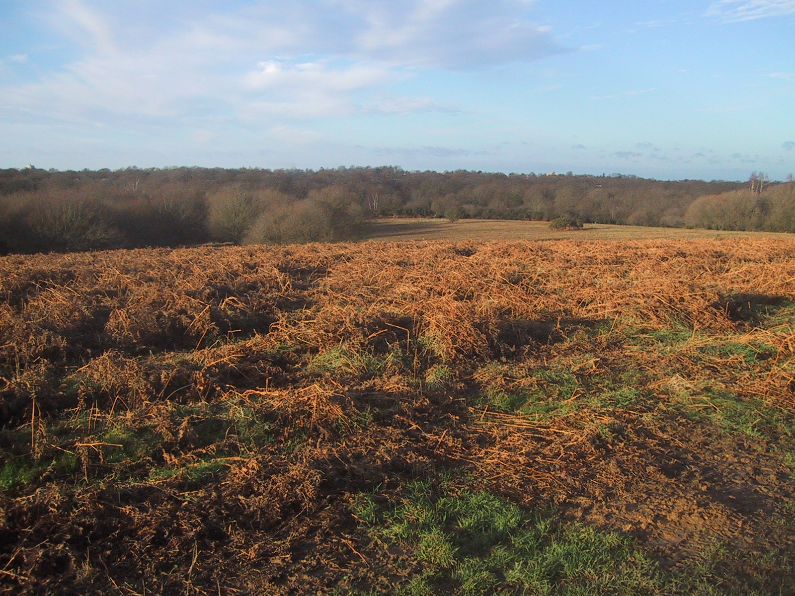
Ridden's Wood is a picturesque forest located in the county of Sussex, England. Covering an area of approximately 100 acres, it is renowned for its natural beauty and diverse ecosystem. The wood is situated in close proximity to the charming village of Ridden, after which it was named.
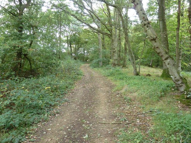
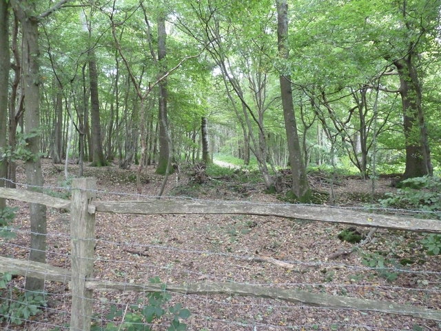
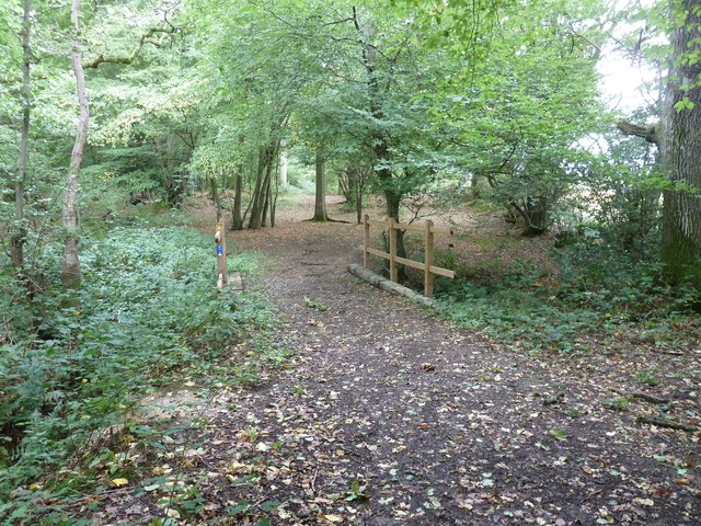
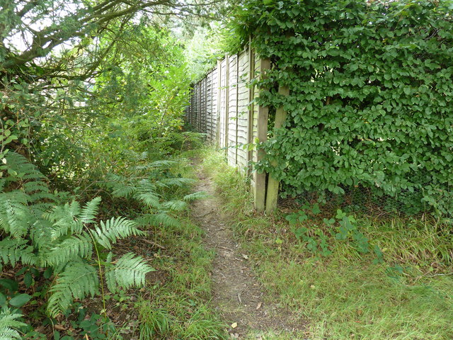
As one ventures into Ridden's Wood, they are greeted by a dense canopy of tall, ancient trees, including oaks, beeches, and birches. These majestic trees provide a sheltered and serene environment, offering a tranquil escape from the bustling city life. The forest floor is carpeted with a lush layer of moss, ferns, and wildflowers, adding to the enchanting atmosphere.
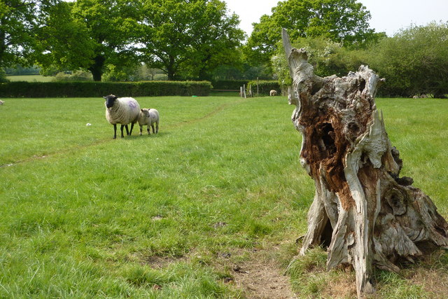
The wood is home to a wide variety of wildlife, including deer, foxes, badgers, and numerous species of birds. Nature enthusiasts and birdwatchers flock to Ridden's Wood to observe these creatures in their natural habitats. Additionally, the forest boasts an abundance of flora, with many rare and protected plant species thriving within its boundaries.
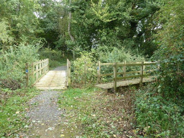
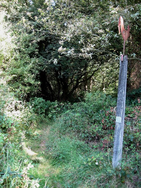
Ridden's Wood offers visitors a range of recreational activities. There are well-maintained walking trails that meander through the forest, allowing visitors to explore its beauty at their own pace. The wood also features designated picnic areas, inviting families and friends to enjoy a pleasant outdoor lunch surrounded by nature.
Conservation efforts are in place to ensure the preservation of Ridden's Wood for future generations. The wood is managed by a team of dedicated professionals who work tirelessly to maintain its ecological balance and protect its unique biodiversity.
In conclusion, Ridden's Wood is a captivating forest in Sussex, offering visitors a chance to immerse themselves in nature's splendor. With its ancient trees, diverse wildlife, and tranquil ambiance, it is a haven for those seeking a respite from the demands of modern life.
If you have any feedback on the listing, please let us know in the comments section below.
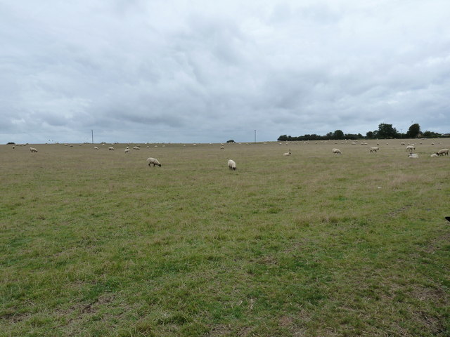
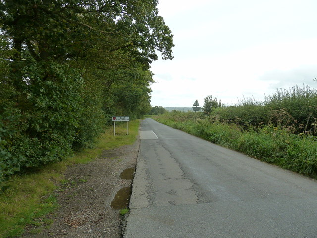
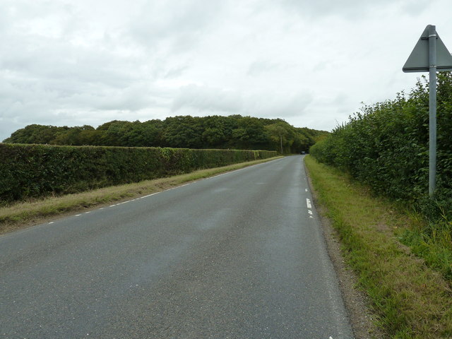
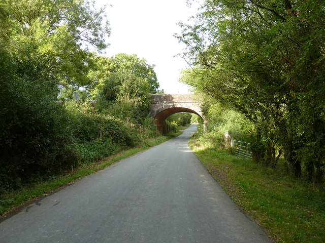
Ridden's Wood Images
Images are sourced within 2km of 50.936578/-0.06789338 or Grid Reference TQ3517. Thanks to Geograph Open Source API. All images are credited.
Ridden's Wood is located at Grid Ref: TQ3517 (Lat: 50.936578, Lng: -0.06789338)
Administrative County: East Sussex
District: Lewes
Police Authority: Sussex
What 3 Words
///caves.spurted.workbook. Near Plumpton Green, East Sussex
Nearby Locations
Related Wikis
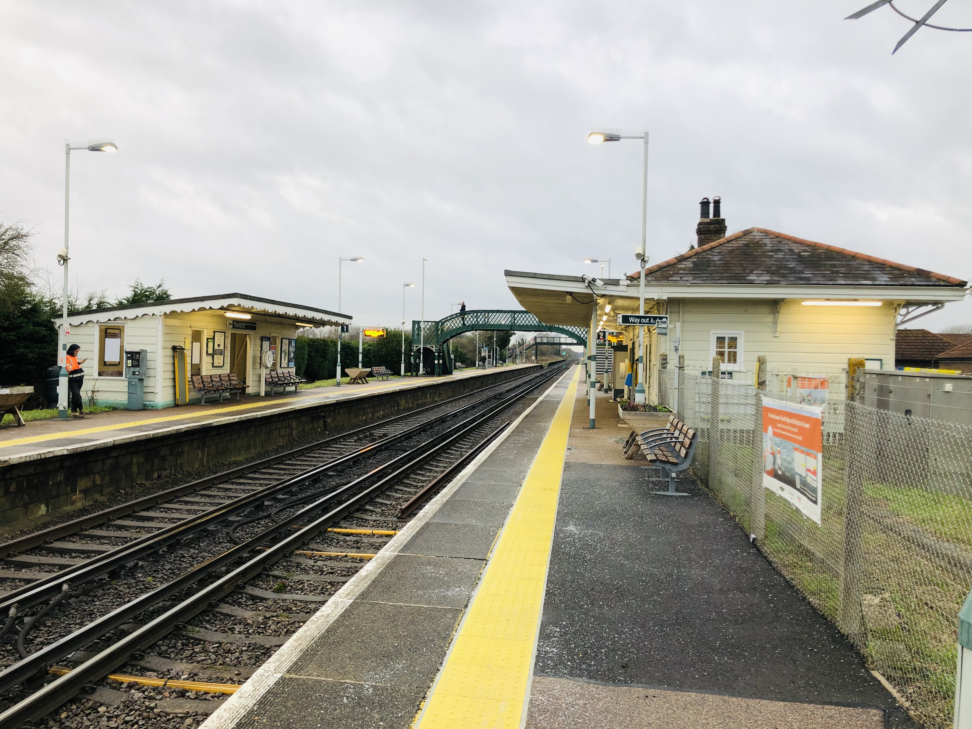
Plumpton railway station
Plumpton railway station serves the village of Plumpton in East Sussex, England. It is 44 miles 42 chains (71.7 km) from London Bridge via Redhill. Train...

Plumpton Racecourse
Plumpton Racecourse is a National Hunt racecourse in the village of Plumpton, East Sussex near Lewes and Brighton. Racing first took place at Plumpton...

Streat
Streat is a village and parish in the Lewes district of East Sussex, England, 3 miles (4.8 km) south-east of Burgess Hill and 5 miles (8.0 km) west of...
East Chiltington
East Chiltington is a village and civil parish in the Lewes District of East Sussex, England. It is centred four miles (5.9 km) south-east of Burgess Hill...

RAF Chailey
RAF Chailey was a Royal Air Force Advanced Landing Ground close to the village of Chailey near Burgess Hill in East Sussex during the Second World War...
Ditchling Common
Ditchling Common is a 66.5-hectare (164-acre) biological Site of Special Scientific Interest south-west of Wivelsfield in East Sussex. It is a country...
Chailey School
Chailey Secondary School opened in April 1958, is a comprehensive secondary school located in the village of South Chailey, Chailey, just outside Lewes...
Jacob's Post
Jacob's Post is a post outside the old Royal Oak pub just inside the north of Ditchling Common to the east of Burgess Hill, in Lewes district, East Sussex...
Nearby Amenities
Located within 500m of 50.936578,-0.06789338Have you been to Ridden's Wood?
Leave your review of Ridden's Wood below (or comments, questions and feedback).