Generals Grove
Wood, Forest in Surrey Tandridge
England
Generals Grove

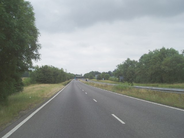
Generals Grove, Surrey is a picturesque woodland area located in the southeastern region of England. Situated in the county of Surrey, this forest is known for its stunning natural beauty and tranquil atmosphere. Spanning over a vast area, Generals Grove is a popular destination for nature enthusiasts, hikers, and those seeking a peaceful retreat from the hustle and bustle of city life.
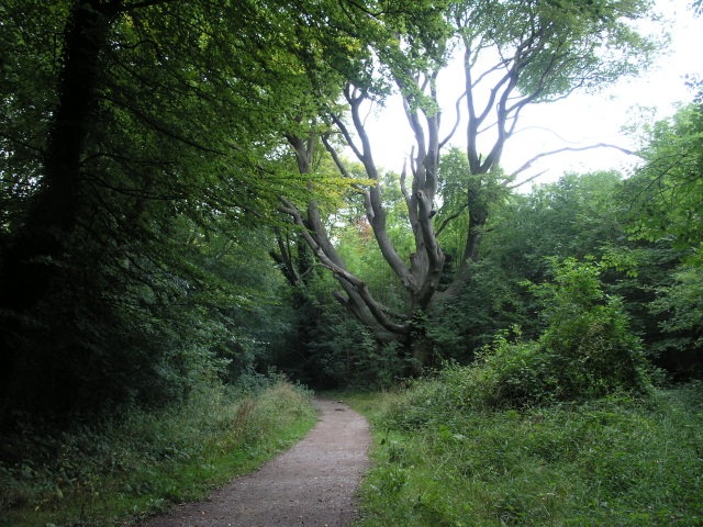
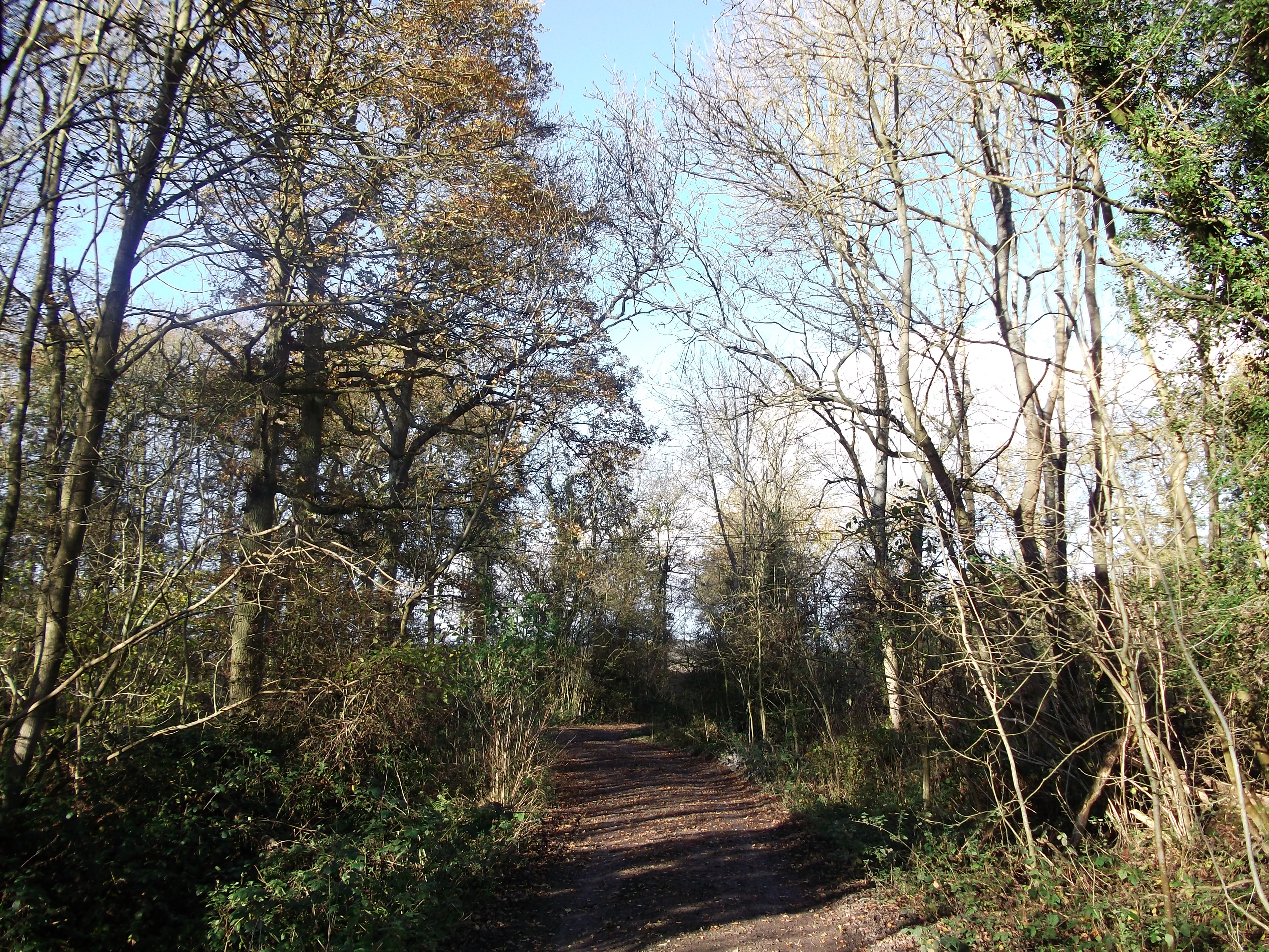
The forest is characterized by its dense canopies of towering trees, primarily consisting of oak, beech, and birch. These trees provide a lush green cover that creates a soothing environment throughout the year. The forest floor is adorned with a variety of wildflowers, mosses, and ferns, adding to its natural charm.
Generals Grove is home to an array of wildlife, including deer, foxes, and various bird species. Nature lovers can often spot these animals roaming freely amidst the trees and vegetation. It is also a haven for birdwatchers, with numerous species of birds nesting in the forest.
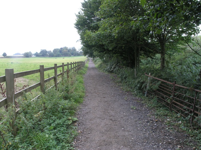
The woodland offers a network of well-maintained trails, allowing visitors to explore its beauty on foot or by bike. These trails meander through the forest, leading to hidden clearings, babbling brooks, and serene ponds. Each season brings its own unique charm, with vibrant autumn foliage, blooming flowers in spring, and peaceful snowy landscapes in winter.
Generals Grove is a beloved recreational spot for locals and tourists alike, offering a respite from the urban chaos. Its natural splendor, diverse wildlife, and well-preserved trails make it a must-visit destination for anyone seeking to connect with nature in Surrey.
If you have any feedback on the listing, please let us know in the comments section below.
Generals Grove Images
Images are sourced within 2km of 51.260094/-0.058444107 or Grid Reference TQ3553. Thanks to Geograph Open Source API. All images are credited.


Generals Grove is located at Grid Ref: TQ3553 (Lat: 51.260094, Lng: -0.058444107)
Administrative County: Surrey
District: Tandridge
Police Authority: Surrey
What 3 Words
///method.mostly.fried. Near Godstone, Surrey
Nearby Locations
Related Wikis

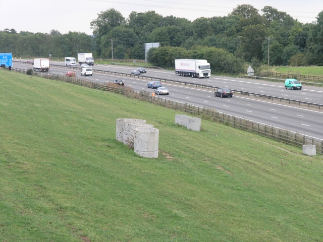
A25 road
The A25 road is an east–west main road in the South-East of England. Its carries traffic east from Guildford, Surrey, eastward through Surrey and into...

Tandridge Hundred
Tandridge Hundred was a hundred in Surrey, England. It comprised areas in the Tandridge District, the easternmost part of the county, bordering Kent, West...

Bay Pond
Bay Pond is a 7-hectare (17-acre) nature reserve in Godstone in Surrey. It is managed by the Surrey Wildlife Trust. It is part of Godstone Ponds Site...

Godstone
Godstone is a village and civil parish in the Tandridge District of Surrey, England. It is 6 miles (9.7 km) east of Reigate, 3 miles (4.8 km) west of Oxted...
1929 Luft Hansa Junkers G 24 crash
The 1929 Luft Hansa Junkers G.24 crash occurred on 6 November 1929 when a Junkers G 24 of Luft Hansa crashed at Godstone, Surrey, United Kingdom while...

Woldingham and Oxted Downs
Woldingham and Oxted Downs is a 128.4-hectare (317-acre) biological Site of Special Scientific Interest east of Caterham in Surrey.This sloping site on...

Woldingham School
Woldingham School is an independent boarding and day school for girls, located in the former Marden Park of 700 acres (280 ha) outside the village of Woldingham...
Titsey Woods
Titsey Woods is a 45.3-hectare (112-acre) biological Site of Special Scientific Interest north-west of Oxted in Surrey.This site is composed of wet semi...
Nearby Amenities
Located within 500m of 51.260094,-0.058444107Have you been to Generals Grove?
Leave your review of Generals Grove below (or comments, questions and feedback).