The Plantation
Wood, Forest in Sussex Lewes
England
The Plantation
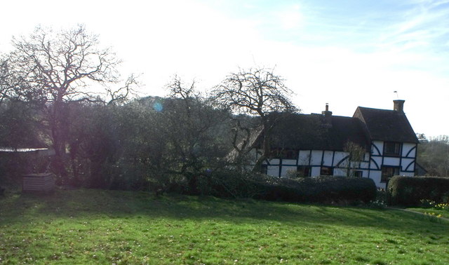
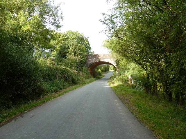
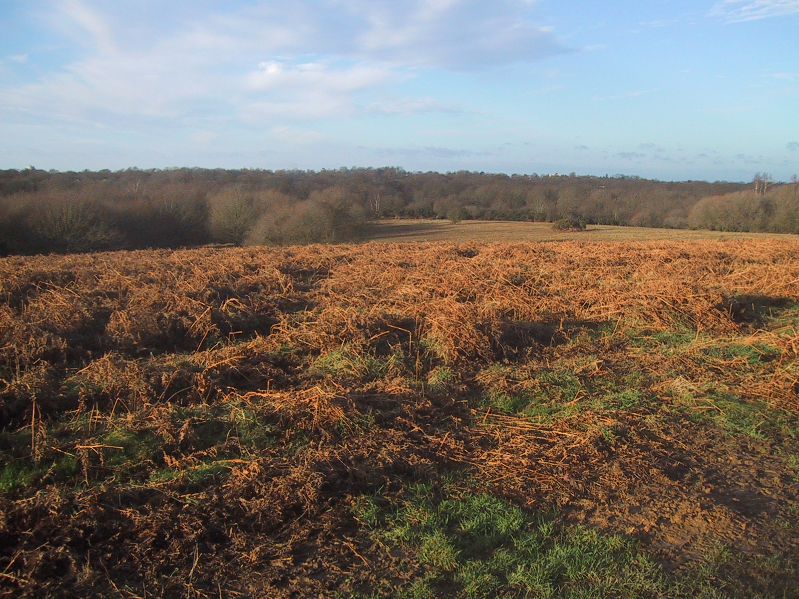
The Plantation, Sussex (Wood, Forest) is a picturesque and expansive woodland area located in Sussex, England. Covering an area of approximately 500 acres, it is a popular destination for nature enthusiasts and outdoor adventurers alike.
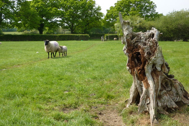
The woodland is characterized by its dense and diverse vegetation, including a variety of native tree species such as oak, beech, and birch. These trees form a lush canopy that provides shade and shelter for a wide range of wildlife, including birds, squirrels, and deer.
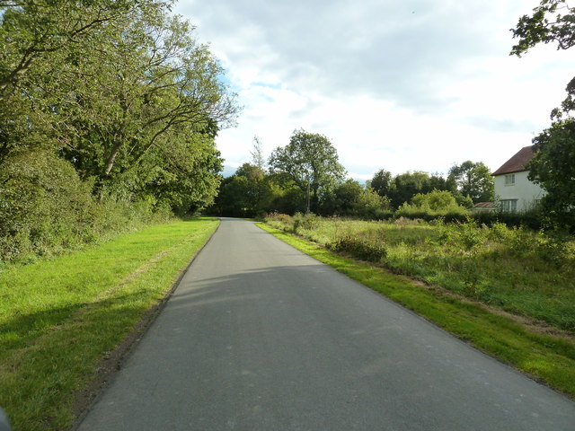
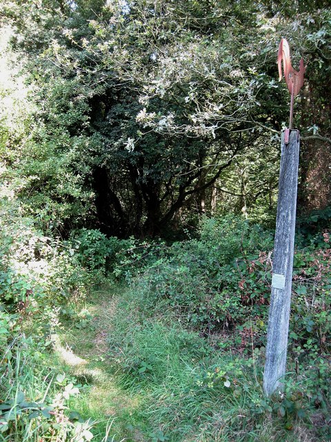
Tranquil walking trails wind their way through The Plantation, offering visitors the opportunity to explore and immerse themselves in the natural beauty of the area. From leisurely strolls to more challenging hikes, there is a path suitable for every level of fitness and interest.
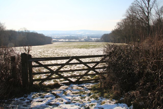
In addition to its natural features, The Plantation also boasts several amenities designed to enhance the visitor experience. These include picnic areas with seating, information boards detailing the local flora and fauna, and designated spots for birdwatching.
The Plantation is managed and maintained by the local authorities, who ensure that the woodland remains a safe and welcoming environment for visitors. Conservation efforts are also in place to protect the delicate ecosystem and preserve the area's natural beauty for future generations to enjoy.
Overall, The Plantation, Sussex (Wood, Forest) offers a serene and idyllic escape from the hustle and bustle of everyday life. Whether it's for a leisurely walk, a picnic with loved ones, or simply to appreciate the tranquility of nature, this woodland sanctuary has something to offer everyone.
If you have any feedback on the listing, please let us know in the comments section below.
The Plantation Images
Images are sourced within 2km of 50.938903/-0.081859906 or Grid Reference TQ3417. Thanks to Geograph Open Source API. All images are credited.


The Plantation is located at Grid Ref: TQ3417 (Lat: 50.938903, Lng: -0.081859906)
Administrative County: East Sussex
District: Lewes
Police Authority: Sussex
What 3 Words
///paraded.financial.prompts. Near Plumpton Green, East Sussex
Nearby Locations
Related Wikis
Plumpton railway station
Plumpton railway station serves the village of Plumpton in East Sussex, England. It is 44 miles 42 chains (71.7 km) from London Bridge via Redhill. Train...
Ditchling Common
Ditchling Common is a 66.5-hectare (164-acre) biological Site of Special Scientific Interest south-west of Wivelsfield in East Sussex. It is a country...

Streat
Streat is a village and parish in the Lewes district of East Sussex, England, 3 miles (4.8 km) south-east of Burgess Hill and 5 miles (8.0 km) west of...

Plumpton Racecourse
Plumpton Racecourse is a National Hunt racecourse in the village of Plumpton, East Sussex near Lewes and Brighton. Racing first took place at Plumpton...

RAF Chailey
RAF Chailey was a Royal Air Force Advanced Landing Ground close to the village of Chailey near Burgess Hill in East Sussex during the Second World War...
Jacob's Post
Jacob's Post is a post outside the old Royal Oak pub just inside the north of Ditchling Common to the east of Burgess Hill, in Lewes district, East Sussex...

Bethel Strict Baptist Chapel, Wivelsfield
Bethel Baptist Chapel is a Strict Baptist place of worship in the village of Wivelsfield in East Sussex, England. The cause was founded in 1763 by members...

Ditchling
Ditchling is a village and civil parish in the Lewes District of East Sussex, England. The village is contained within the boundaries of the South Downs...
Nearby Amenities
Located within 500m of 50.938903,-0.081859906Have you been to The Plantation?
Leave your review of The Plantation below (or comments, questions and feedback).