Coombe Wood
Wood, Forest in Surrey
England
Coombe Wood

The requested URL returned error: 429 Too Many Requests
If you have any feedback on the listing, please let us know in the comments section below.
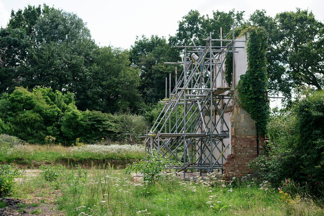
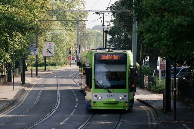
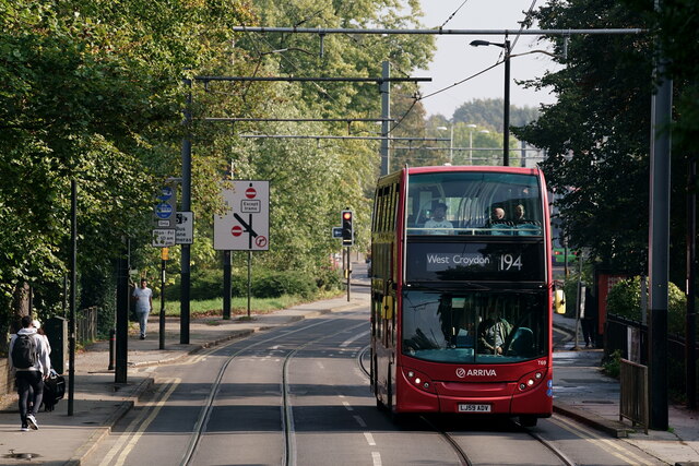
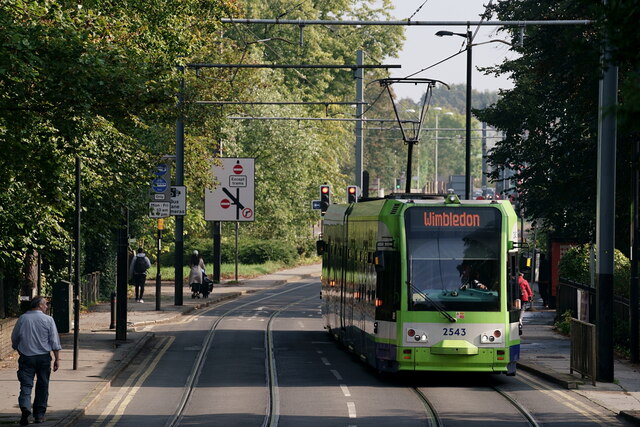
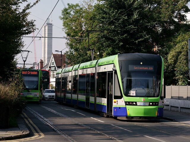
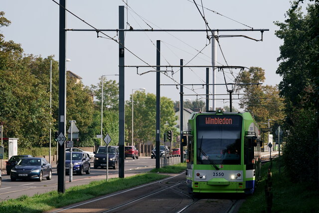
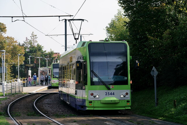
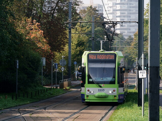
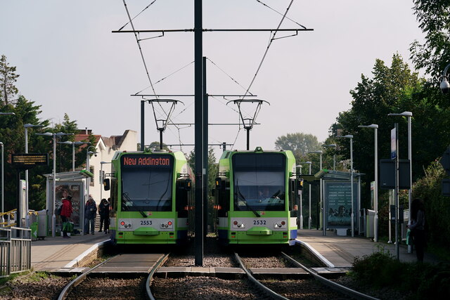
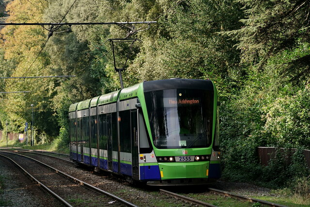
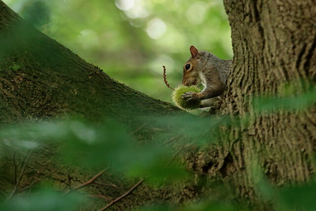
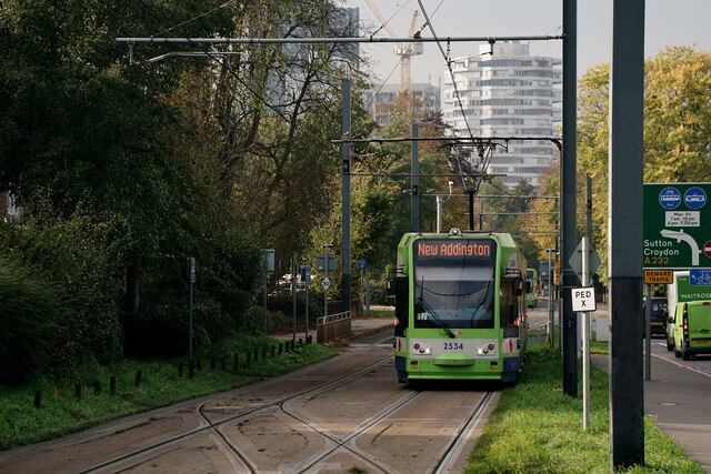
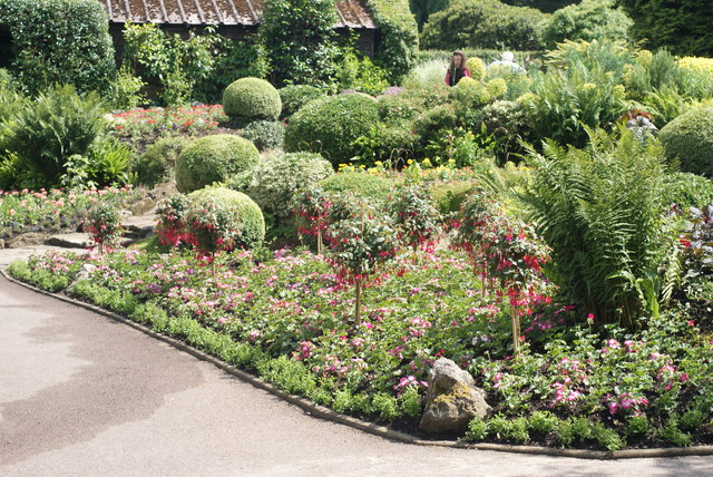
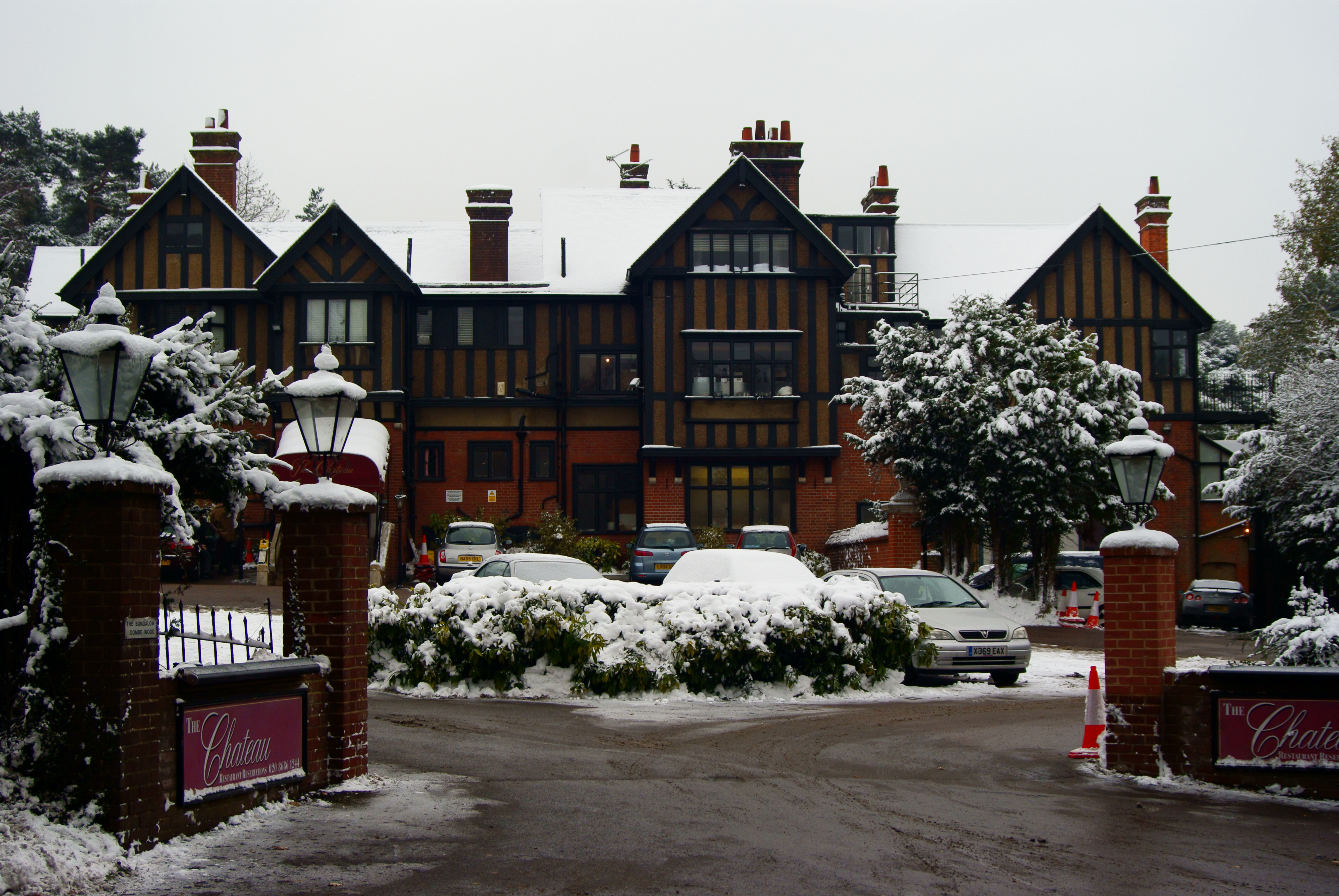
Coombe Wood Images
Images are sourced within 2km of 51.361244/-0.068634573 or Grid Reference TQ3464. Thanks to Geograph Open Source API. All images are credited.


Coombe Wood is located at Grid Ref: TQ3464 (Lat: 51.361244, Lng: -0.068634573)
Unitary Authority: Croydon
Police Authority: Metropolitan
What 3 Words
///wipe.text.prep. Near South Croydon, London
Nearby Locations
Related Wikis
Coombe Wood
Coombe Wood is a small (14.25 acres (5.77 ha)) woodland and garden area in the old village of Coombe, South Croydon near the junction of Coombe Lane and...
Coombe, Croydon
Coombe is a place in the London Borough of Croydon, situated south-east of central Croydon, between Addiscombe, Selsdon and Upper Shirley. Formerly a hamlet...

Royal Russell School
Royal Russell School (before 1962, the Royal Warehousemen Clerks and Drapers' Schools; before 1953, the Warehousemen Clerks and Drapers' Schools; before...
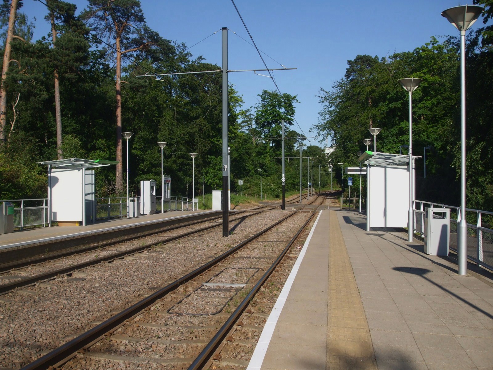
Coombe Lane tram stop
Coombe Lane tram stop is a light rail stop in the London Borough of Croydon in the southern suburbs of London. It is located south of Addington Hills and...
Nearby Amenities
Located within 500m of 51.361244,-0.068634573Have you been to Coombe Wood?
Leave your review of Coombe Wood below (or comments, questions and feedback).