Ballards Plantation

Wood, Forest in Surrey

England

Ballards Plantation

Vixen in the Wood Foraging through the wood and arriving at the path to find a camera.
Vixen in the Wood Credit: Peter Trimming

Ballards Plantation is a picturesque woodland area located in Surrey, England. Situated in the heart of the county, this enchanting forest covers a vast expanse of approximately 500 acres. Its serene and untouched beauty attracts nature enthusiasts, hikers, and photographers alike.

The plantation boasts a diverse range of tree species, including oak, beech, and birch, creating a rich and vibrant tapestry of colors throughout the year. The forest floor is adorned with a lush carpet of ferns, bluebells, and wildflowers, adding to its natural charm.

Tranquility is a hallmark of Ballards Plantation, with its secluded paths and hidden clearings beckoning visitors to explore and escape the hustle and bustle of everyday life. The woodland is crisscrossed by a network of well-maintained trails, offering an opportunity for walkers and cyclists to immerse themselves in the splendor of nature.

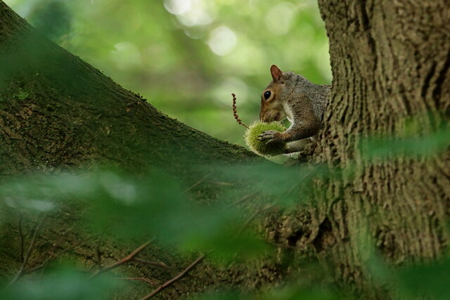
Wildlife thrives within the boundaries of the plantation, as it provides a safe haven for a variety of species. Birdwatchers can spot species such as woodpeckers, owls, and nuthatches, while squirrels and foxes can also be glimpsed darting through the undergrowth.

Ballards Plantation is a popular destination for families, who can enjoy picnicking in peaceful clearings or engaging in outdoor activities such as den-building and nature scavenger hunts. There are also designated areas for camping and barbecues, allowing visitors to extend their stay and fully embrace the natural surroundings.

With its tranquil ambiance and breathtaking scenery, Ballards Plantation is a true haven for those seeking solace in nature's embrace. Whether it's a leisurely stroll or an immersive adventure, this woodland sanctuary offers a memorable experience for all who venture within its boundaries.

If you have any feedback on the listing, please let us know in the comments section below.

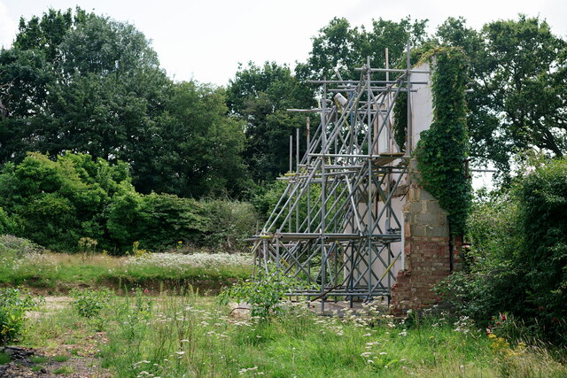
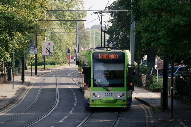
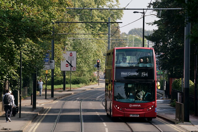
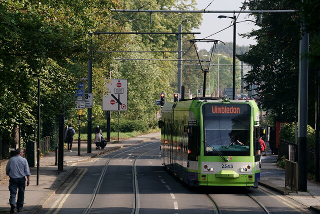
Ballards Plantation Images

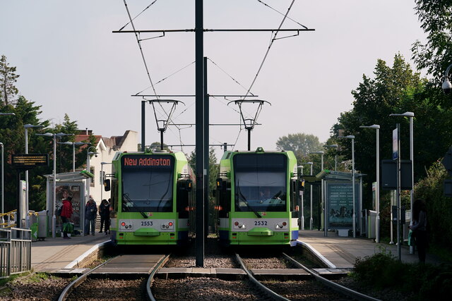
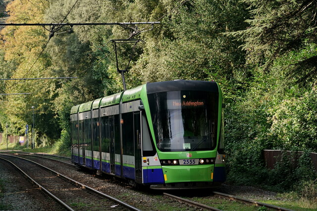
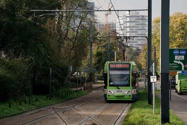
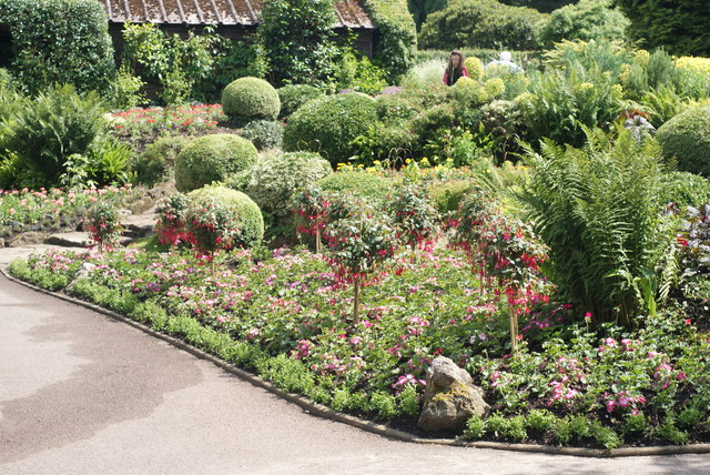
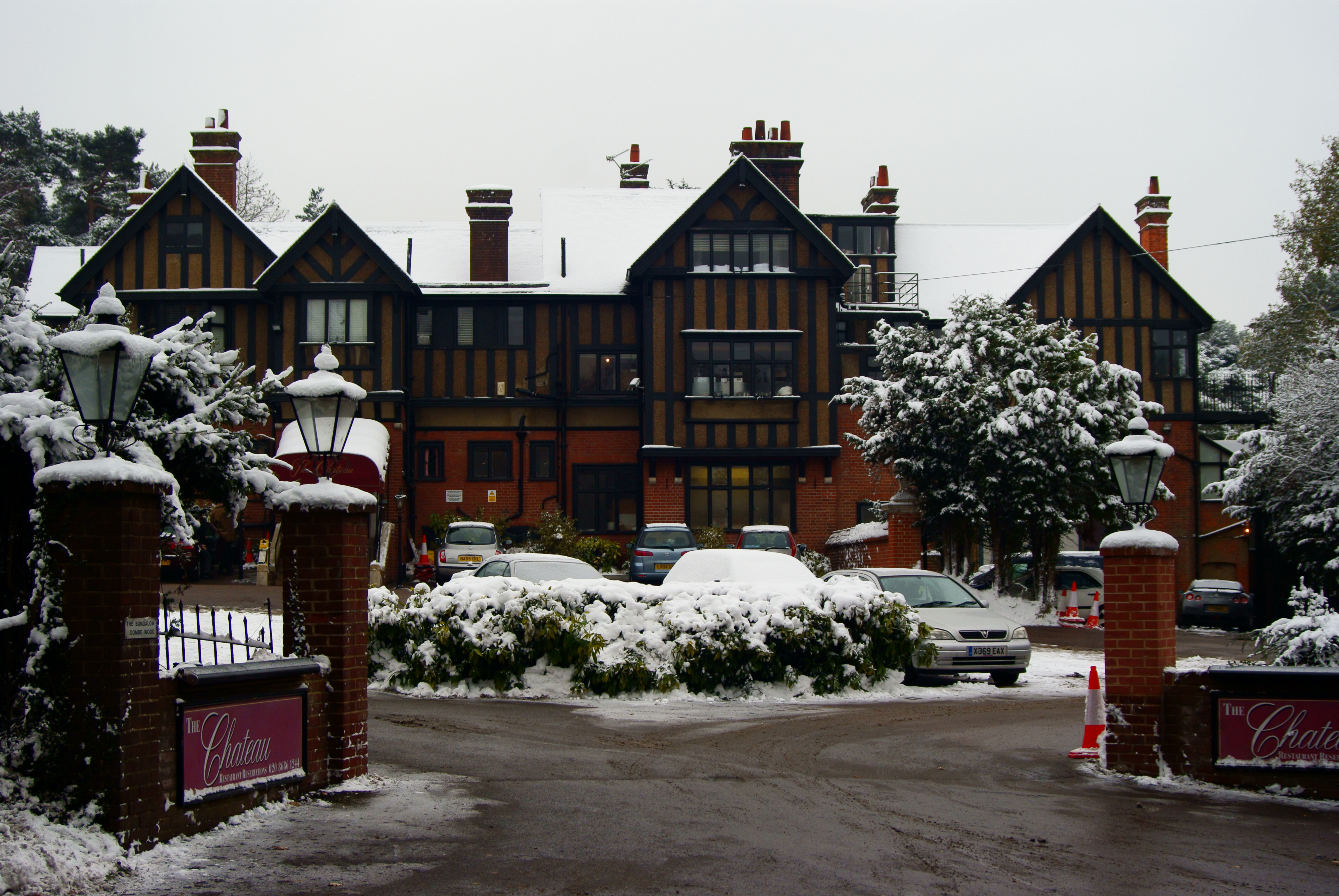
Images are sourced within 2km of 51.359213/-0.073129643 or Grid Reference TQ3464. Thanks to Geograph Open Source API. All images are credited.

Vixen in the Wood Foraging through the wood and arriving at the path to find a camera.
Vixen in the Wood
Foraging through the wood and arriving at the path to find a camera.
The Wall Still Standing Some months previously, the detached house standing on this plot had been demolished. However; one end wall had been left in place, supported by scaffolding. There is a parking area, just out of picture, to the right. I am puzzled.
The Wall Still Standing
Some months previously, the detached house standing on this plot had been demolished. However; one end wall had been left in place, supported by scaffolding. There is a parking area, just out of picture, to the right. I am puzzled.
Croydon Tram in Addiscombe Road, approaching East Croydon.
Croydon
Tram in Addiscombe Road, approaching East Croydon.
Croydon Addiscombe Road, with a bus heading towards East and West Croydon.
Croydon
Addiscombe Road, with a bus heading towards East and West Croydon.
Croydon Tram in Addiscombe Road, approaching East Croydon.
Croydon
Tram in Addiscombe Road, approaching East Croydon.
Croydon Trams in Addiscombe Road, with a tower block, under construction, in the background; one of several currently under construction near East Croydon.
Croydon
Trams in Addiscombe Road, with a tower block, under construction, in the background; one of several currently under construction near East Croydon.
Croydon Addiscombe Road, with the tram having just departed from the Sandilands stop.
Croydon
Addiscombe Road, with the tram having just departed from the Sandilands stop.
Croydon Addiscombe Road, with the tram having just departed from the Sandilands stop.
Croydon
Addiscombe Road, with the tram having just departed from the Sandilands stop.
Croydon Addiscombe Road, with the tram approaching the Sandilands stop.
Croydon
Addiscombe Road, with the tram approaching the Sandilands stop.
Croydon Addiscombe Road, with the trams at the Sandilands stop.
Croydon
Addiscombe Road, with the trams at the Sandilands stop.
Tramlink New Addington tram approaching Oaks Road.
Tramlink
New Addington tram approaching Oaks Road.
Tramlink West Croydon tram about to cross Oaks Road, with a New Addington tram in the background.
Tramlink
West Croydon tram about to cross Oaks Road, with a New Addington tram in the background.
Caching Squirrel With autumn well under way, the squirrels were busily caching sweet chestnuts in various parts of the wood.
Caching Squirrel
With autumn well under way, the squirrels were busily caching sweet chestnuts in various parts of the wood.
Coombe Wood Mating Common Darters, the male being the reddish one. I have Colin Adams to thank for the identification.
Coombe Wood
Mating Common Darters, the male being the reddish one. I have Colin Adams to thank for the identification.
Tramlink West Croydon tram passing through Lloyd Park.
Tramlink
West Croydon tram passing through Lloyd Park.
Tramlink Wimbledon service at the Sandilands tram stop.
Tramlink
Wimbledon service at the Sandilands tram stop.
Tramlink New Addington service approaching the Sandilands tram stop.
Tramlink
New Addington service approaching the Sandilands tram stop.
Key in the Wood Seen hanging from a tree branch. It was also here about three weeks previously, suggesting that it had been lost by a runner who did not regularly use this route.
Key in the Wood
Seen hanging from a tree branch. It was also here about three weeks previously, suggesting that it had been lost by a runner who did not regularly use this route.
Show me another place!

Ballards Plantation is located at Grid Ref: TQ3464 (Lat: 51.359213, Lng: -0.073129643)

Unitary Authority: Croydon

Police Authority: Metropolitan

What 3 Words

///deal.moth.paint. Near South Croydon, London

Related Wikis

Coombe Wood

Coombe Wood is a small (14.25 acres (5.77 ha)) woodland and garden area in the old village of Coombe, South Croydon near the junction of Coombe Lane and...
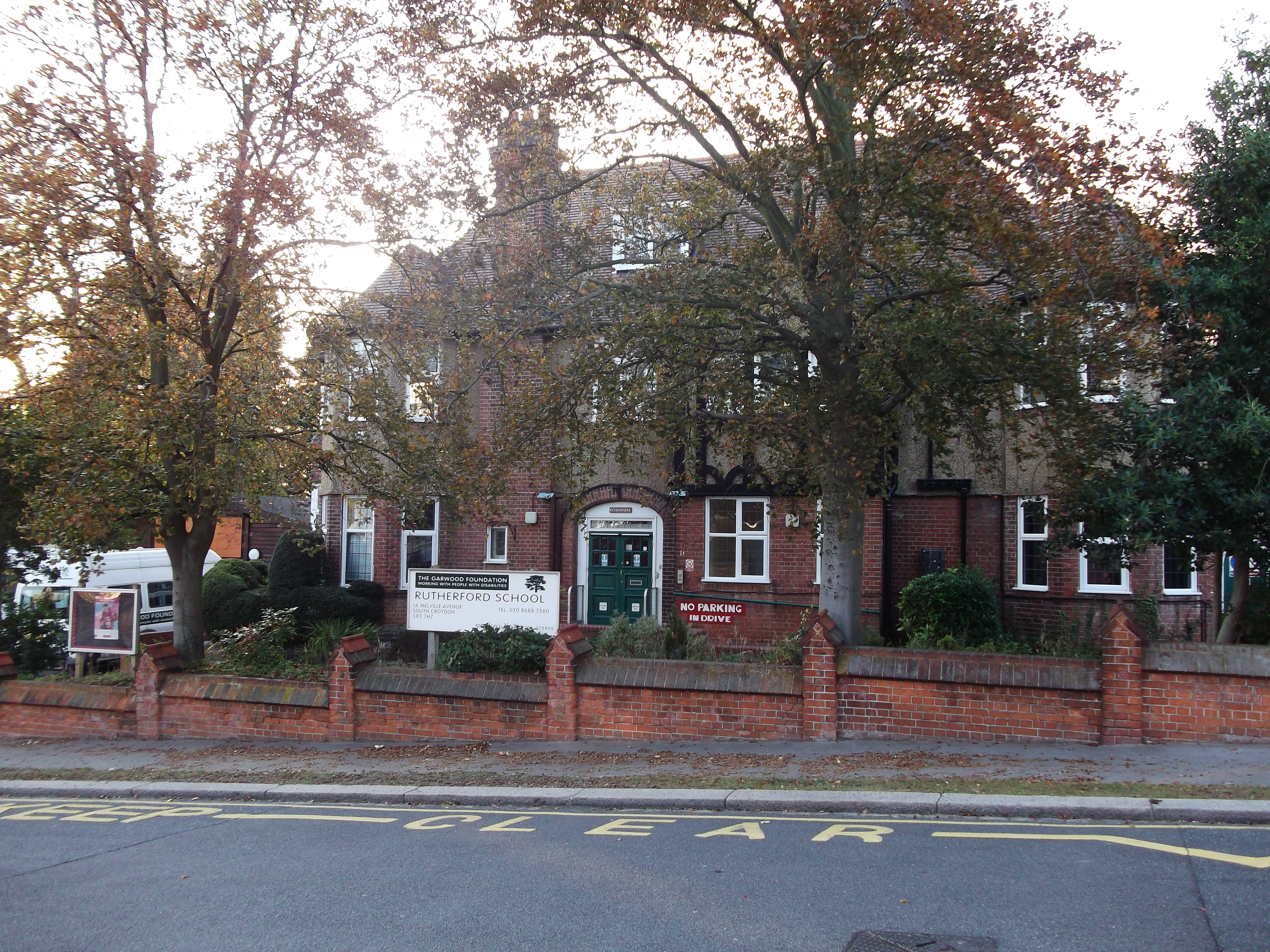
Rutherford School

Rutherford School is an independent special school for pupils with profound and multiple learning difficulties (PMLD) aged 3–19 that aims to provide inclusive...

Coombe, Croydon

Coombe is a place in the London Borough of Croydon, situated south-east of central Croydon, between Addiscombe, Selsdon and Upper Shirley. Formerly a hamlet...

Royal Russell School

Royal Russell School (before 1962, the Royal Warehousemen Clerks and Drapers' Schools; before 1953, the Warehousemen Clerks and Drapers' Schools; before...

Nearby Amenities

Located within 500m of 51.359213,-0.073129643
Bus Stop
Ballards Way
Bus: yes
Naptan AtcoCode: 490003568E
Naptan Bearing: N
Naptan CommonName: Ballards Way
Naptan Street: CROHAM VALLEY ROAD
Naptan Verified: no
Public Transport: platform
Ref: 57530
Source Ref: naptan
Lat/Long: 51.3558278/-0.0725042
Bus Stop
Ballards Way
Bus: yes
Naptan AtcoCode: 490003568N
Naptan Bearing: N
Naptan CommonName: Ballards Way
Naptan Street: CROHAM VALLEY ROAD
Naptan Verified: no
Public Transport: platform
Ref: 52020
Source Ref: naptan
Lat/Long: 51.3559841/-0.0729891
Bus Stop
Old Palace of John Whitgift School
Bus: yes
Naptan AtcoCode: 490005793E
Naptan Bearing: E
Naptan CommonName: Croham Hurst School
Naptan Indicator: Stop
Naptan Verified: no
Public Transport: platform
Lat/Long: 51.3590935/-0.0798796
Bus Stop
Manor Way
Bus: yes
Naptan AtcoCode: 490009598E
Naptan Bearing: N
Naptan CommonName: Manor Way Croham Valley Road
Naptan Street: CROHAM VALLEY ROAD
Naptan Verified: no
Public Transport: platform
Lat/Long: 51.3578122/-0.0770686
Bus Stop
Manor Way
Bus: yes
Naptan AtcoCode: 490009598W
Naptan Bearing: N
Naptan CommonName: Manor Way Croham Valley Road
Naptan Street: CROHAM VALLEY ROAD
Naptan Verified: no
Public Transport: platform
Lat/Long: 51.3578326/-0.0776498
Post Box
Coombe Lane
Collection Times: Mo-Fr 16:30; Sa 12:00
Operator: Royal Mail
Operator Wikidata: Q638098
Post Box Type: lamp
Ref: CR0 173
Royal Cypher: EIIR
Royal Cypher Wikidata: Q33102113
Source: survey
Lat/Long: 51.3626433/-0.0688737
Post Box
Collection Times: Mo-Fr 09:00; Sa 07:00; Su off
Drive Through: no
Operator: Royal Mail
Operator Wikidata: Q638098
Post Box Type: wall
Ref: CR2 211D
Royal Cypher: GR
Royal Cypher Wikidata: Q33102273
Source: Bing, local knowledge;survey
Lat/Long: 51.361534/-0.0789758
Railway: tram_level_crossing
Lat/Long: 51.3631952/-0.0703598
Railway: tram_level_crossing
Lat/Long: 51.3632374/-0.0703684
Ref GB Tflcid: RWG215186
Traffic Calming: hump
Lat/Long: 51.3574714/-0.0781298
Barrier: entrance
Foot: yes
Lat/Long: 51.3622038/-0.068693
Post Box
Collection Times: Mo-Fr 09:00; Sa 07:00; Su off
Drive Through: no
Operator: Royal Mail
Operator Wikidata: Q638098
Post Box Type: pillar
Ref: CR2 304D
Royal Cypher: GR
Royal Cypher Wikidata: Q33102273
Source: survey
Lat/Long: 51.3578995/-0.0784701
Post Box
Collection Times: Mo-Fr 09:00; Sa 07:00; Su off
Drive Through: no
Operator: Royal Mail
Operator Wikidata: Q638098
Post Box Type: pillar
Ref: CR2 341D
Royal Cypher: GR
Royal Cypher Wikidata: Q33102273
Source: survey
Lat/Long: 51.3558696/-0.0725097
Addr City: South Croydon
Addr Housenumber: 35
Addr Postcode: CR2 7HZ
Addr Street: Melville Avenue
Source: survey
Lat/Long: 51.3616303/-0.0790547
Addr City: South Croydon
Addr Housename: Tregavern
Addr Housenumber: 10
Addr Postcode: CR2 7HY
Addr Street: Melville Avenue
Source: survey
Lat/Long: 51.361674/-0.0784884
Addr City: South Croydon
Addr Housenumber: 29
Addr Postcode: CR2 7HZ
Addr Street: Melville Avenue
Source: survey
Lat/Long: 51.3613423/-0.0792093
Communication Mobile Phone: yes
Man Made: mast
Operator: O2
Operator Wikidata: Q7072245
Ref: 4656
Tower Construction: lattice
Tower Type: communication
Lat/Long: 51.3585641/-0.0776731
Description: Joint bay for National Grid's underground Beddington–Rowdown 400kV circuit.
Man Made: street_cabinet
Operator: National Grid
Ref: J.B. 17/18
Utility: power
Lat/Long: 51.3587269/-0.0796499
Description: Joint bay for National Grid's underground Beddington–Rowdown 400kV circuit.
Man Made: street_cabinet
Operator: National Grid
Ref: J.B. 17/18
Utility: power
Lat/Long: 51.3571772/-0.0754501
Description: Joint bay for National Grid's underground Beddington–Rowdown 400kV circuit.
Man Made: street_cabinet
Operator: National Grid
Ref: J.B. 19/20
Utility: power
Lat/Long: 51.3555418/-0.072349
Description: Cooling separator bay for National Grid's underground Beddington–Rowdown 400kV circuit.
Man Made: street_cabinet
Operator: National Grid
Ref: Cooling Section X
Utility: power
Lat/Long: 51.355229/-0.0719892
Ballards Plantation
Natural: wood
Lat/Long: 51.3591386/-0.0736329
Bench
Backrest: no
Lat/Long: 51.3607362/-0.0682542
Bench
Backrest: no
Lat/Long: 51.3604081/-0.0698683
Bench
Backrest: no
Lat/Long: 51.3627429/-0.0689962
Bicycle Parking
Access: yes
Capacity: 6
Covered: no
Fee: no
Lat/Long: 51.3624728/-0.0687367
Toilets
Access: yes
Female: no
Male: no
Toilets Disposal: flush
Unisex: yes
Wheelchair: yes
Lat/Long: 51.3624045/-0.0683935
Give Way
Direction: forward
Lat/Long: 51.3627568/-0.0692132
Crossing
Crossing: unmarked
Crossing Markings: no
Lat/Long: 51.3629036/-0.0699472
Ref GB Tflcid: RWG215826
Traffic Calming: hump
Lat/Long: 51.3576724/-0.0780836
Operator: UK Power Networks
Operator Wikidata: Q7864927
Power: substation
Substation: minor_distribution
Lat/Long: 51.3621987/-0.069227
The data included in this document is from www.openstreetmap.org. The data is made available under ODbL.

Have you been to Ballards Plantation?

Leave your review of Ballards Plantation below (or comments, questions and feedback).