Danemead Wood

Wood, Forest in Hertfordshire East Hertfordshire

England

Danemead Wood

The A10, Broxbourne
The A10, Broxbourne Credit: David Howard

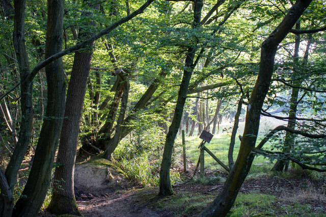
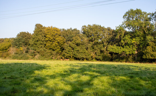
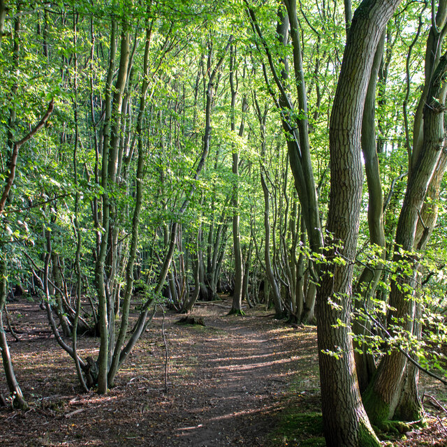
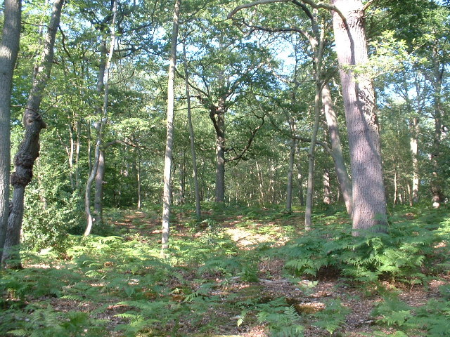
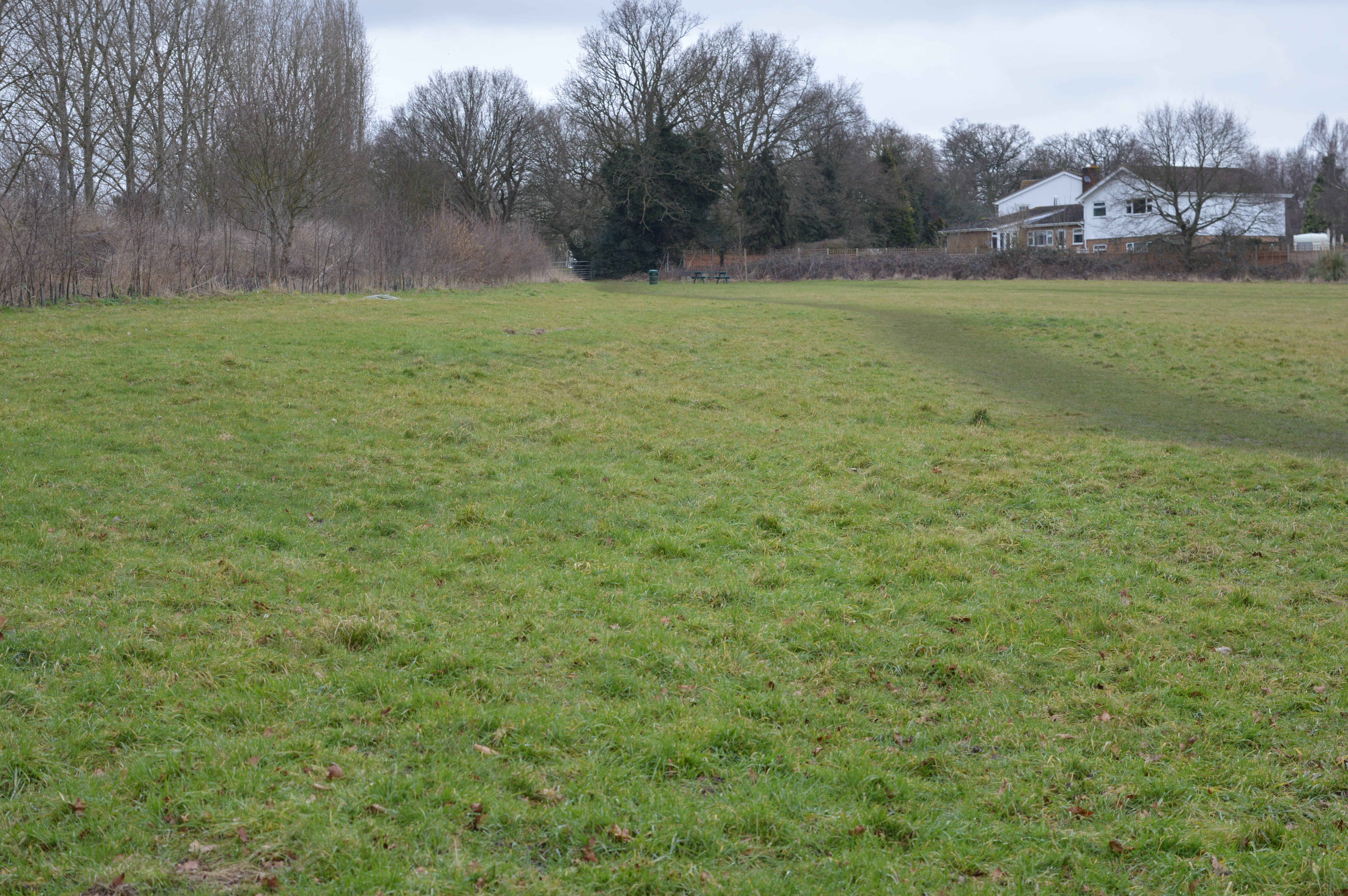
Danemead Wood is a picturesque woodland located in Hertfordshire, England. Covering an area of approximately 28 hectares, this ancient woodland has a rich history and is known for its diverse range of flora and fauna. The wood is situated near the village of Hertingfordbury, just a few miles east of Hertford.

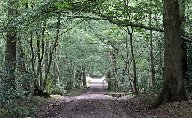
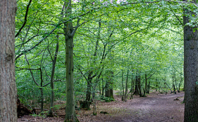
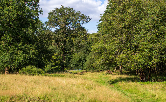
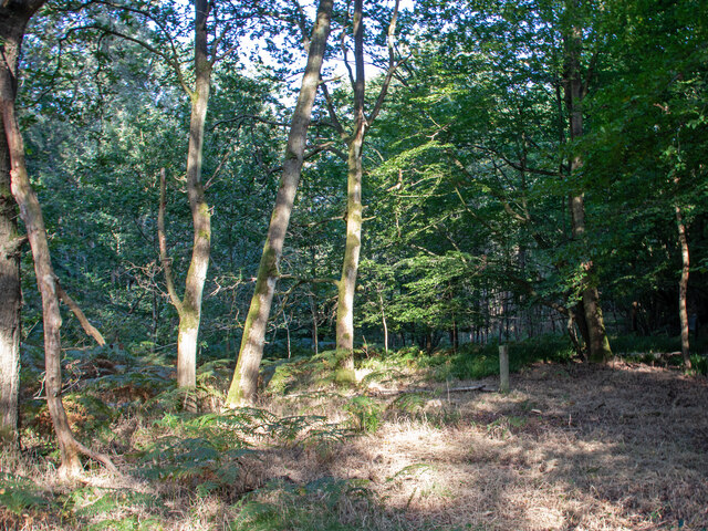
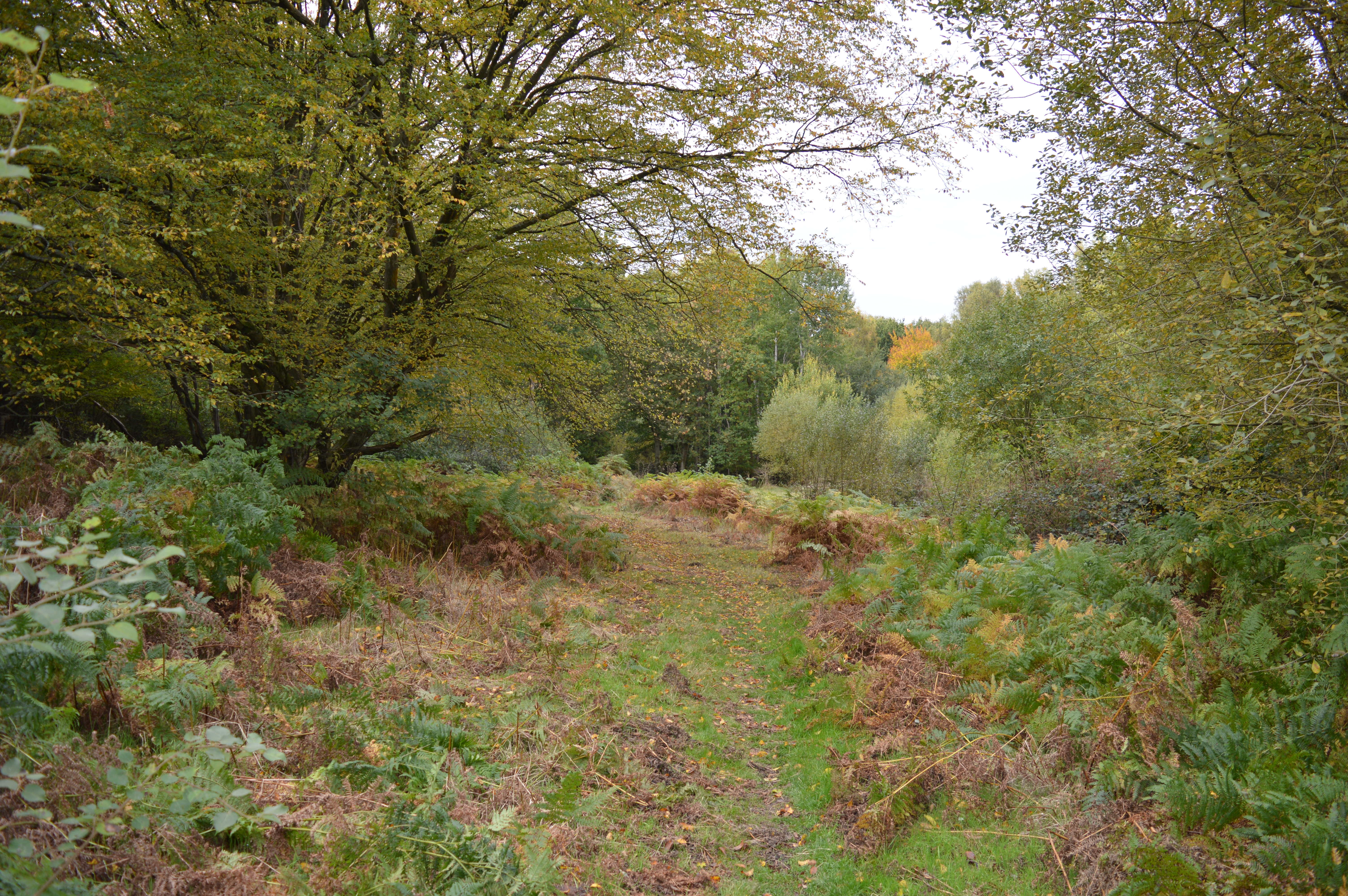
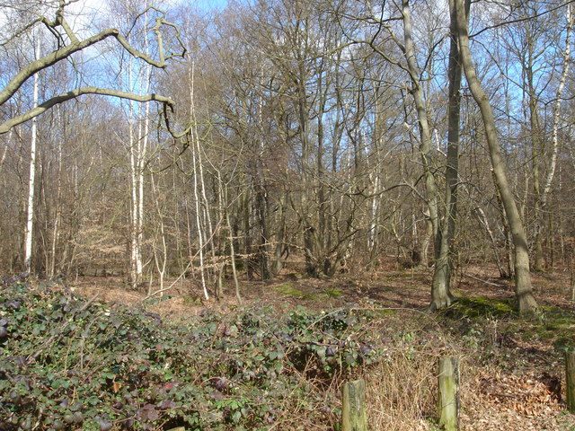
Danemead Wood offers a peaceful and tranquil escape from the hustle and bustle of everyday life. It features a mix of broadleaf trees, including oak, ash, and beech, with their towering canopies providing a sheltered habitat for a variety of wildlife. The forest floor is adorned with bluebells and other wildflowers during the spring months, creating a colorful and enchanting display.

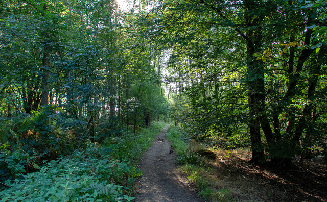
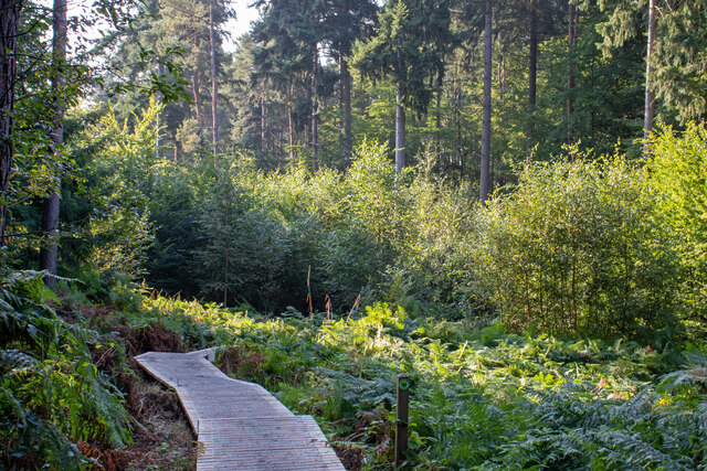
Visitors to Danemead Wood can explore its numerous walking trails, which wind their way through the woodland, offering glimpses of hidden ponds and streams along the way. The wood is also home to a diverse range of bird species, making it a haven for birdwatchers and nature enthusiasts. Keep an eye out for woodpeckers, nuthatches, and tawny owls, among others.

Managed by the Woodland Trust, Danemead Wood is a designated Site of Special Scientific Interest (SSSI) due to its ancient woodland status and the presence of rare plant species. The wood also plays a vital role in preserving the local ecosystem, supporting a wide range of insects, mammals, and fungi.

Whether you are seeking a peaceful walk, a chance to connect with nature, or simply a place to unwind, Danemead Wood offers a truly idyllic setting to immerse yourself in the beauty of the natural world.

If you have any feedback on the listing, please let us know in the comments section below.

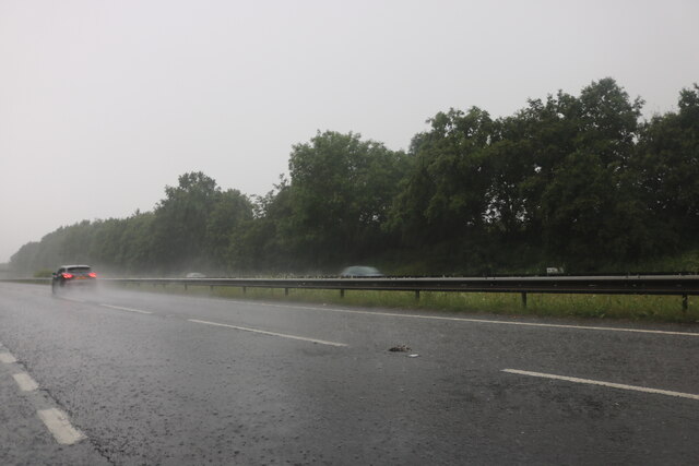
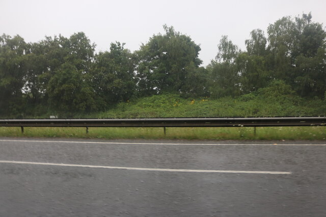
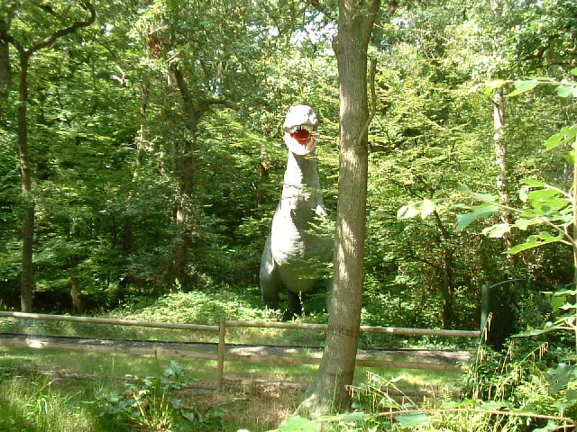
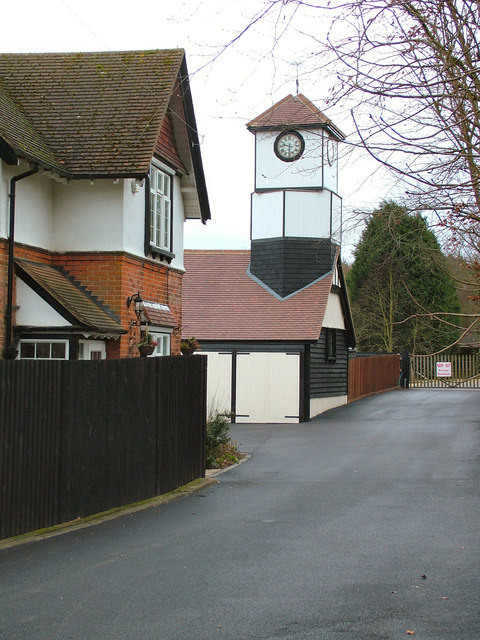
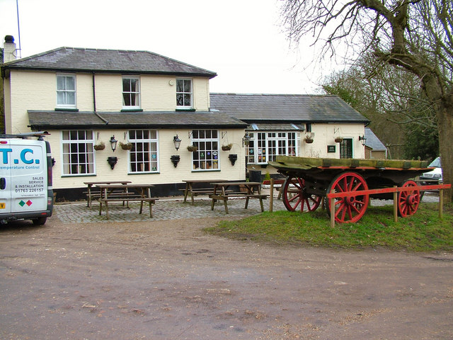
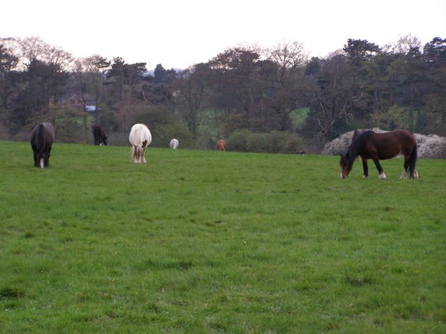
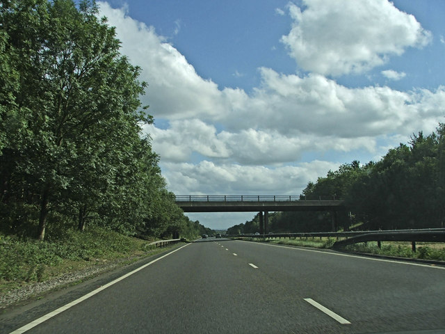
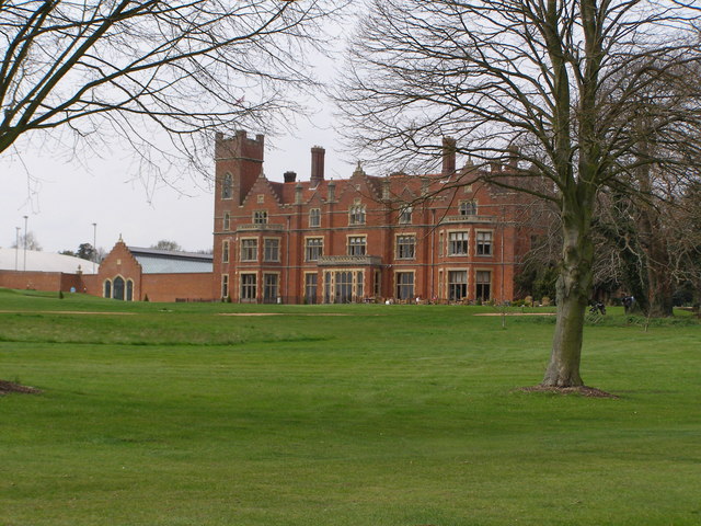
Danemead Wood Images

Images are sourced within 2km of 51.752813/-0.053263964 or Grid Reference TL3407. Thanks to Geograph Open Source API. All images are credited.

The A10, Broxbourne
The A10, Broxbourne
The A10, Broxbourne
The A10, Broxbourne
Footpath in Hoddesdon Park Wood Hoddesdon Park Wood is managed by the Woodland Trust <span class="nowrap"><a title="https://www.woodlandtrust.org.uk/visiting-woods/woods/hoddesdon-park-wood/" rel="nofollow ugc noopener" href="https://www.woodlandtrust.org.uk/visiting-woods/woods/hoddesdon-park-wood/">Link</a><img style="margin-left:2px;" alt="External link" title="External link - shift click to open in new window" src="https://s1.geograph.org.uk/img/external.png" width="10" height="10"/></span>

Part of Broxbourne Woods National Nature Reserve <span class="nowrap"><a title="https://www.gov.uk/government/publications/hertfordshires-national-nature-reserve" rel="nofollow ugc noopener" href="https://www.gov.uk/government/publications/hertfordshires-national-nature-reserve">Link</a><img style="margin-left:2px;" alt="External link" title="External link - shift click to open in new window" src="https://s1.geograph.org.uk/img/external.png" width="10" height="10"/></span>

This is the Hertfordshire Way Long Distance Footpath <span class="nowrap"><a title="https://ldwa.org.uk/ldp/members/show_path.php?path_name=Hertfordshire+Way" rel="nofollow ugc noopener" href="https://ldwa.org.uk/ldp/members/show_path.php?path_name=Hertfordshire+Way">Link</a><img style="margin-left:2px;" alt="External link" title="External link - shift click to open in new window" src="https://s1.geograph.org.uk/img/external.png" width="10" height="10"/></span>
Footpath in Hoddesdon Park Wood
Hoddesdon Park Wood is managed by the Woodland Trust LinkExternal link Part of Broxbourne Woods National Nature Reserve LinkExternal link This is the Hertfordshire Way Long Distance Footpath LinkExternal link
Path in Hoddesdon Park Wood Hoddesdon Park Wood is managed by the Woodland Trust <span class="nowrap"><a title="https://www.woodlandtrust.org.uk/visiting-woods/woods/hoddesdon-park-wood/" rel="nofollow ugc noopener" href="https://www.woodlandtrust.org.uk/visiting-woods/woods/hoddesdon-park-wood/">Link</a><img style="margin-left:2px;" alt="External link" title="External link - shift click to open in new window" src="https://s1.geograph.org.uk/img/external.png" width="10" height="10"/></span>

Part of Broxbourne Woods National Nature Reserve <span class="nowrap"><a title="https://www.gov.uk/government/publications/hertfordshires-national-nature-reserve" rel="nofollow ugc noopener" href="https://www.gov.uk/government/publications/hertfordshires-national-nature-reserve">Link</a><img style="margin-left:2px;" alt="External link" title="External link - shift click to open in new window" src="https://s1.geograph.org.uk/img/external.png" width="10" height="10"/></span>
Path in Hoddesdon Park Wood
Hoddesdon Park Wood is managed by the Woodland Trust LinkExternal link Part of Broxbourne Woods National Nature Reserve LinkExternal link
Danemead Nature Reserve Danemead Nature Reserve is managed by the Herts and Middlesex Wildlife Trust <span class="nowrap"><a title="https://www.hertswildlifetrust.org.uk/nature-reserves/danemead" rel="nofollow ugc noopener" href="https://www.hertswildlifetrust.org.uk/nature-reserves/danemead">Link</a><img style="margin-left:2px;" alt="External link" title="External link - shift click to open in new window" src="https://s1.geograph.org.uk/img/external.png" width="10" height="10"/></span>

Part of Wormley-Hoddesdonpark Woods North SSSI <span class="nowrap"><a title="https://designatedsites.naturalengland.org.uk/SiteDetail.aspx?SiteCode=s1002304" rel="nofollow ugc noopener" href="https://designatedsites.naturalengland.org.uk/SiteDetail.aspx?SiteCode=s1002304">Link</a><img style="margin-left:2px;" alt="External link" title="External link - shift click to open in new window" src="https://s1.geograph.org.uk/img/external.png" width="10" height="10"/></span>
Danemead Nature Reserve
Danemead Nature Reserve is managed by the Herts and Middlesex Wildlife Trust LinkExternal link Part of Wormley-Hoddesdonpark Woods North SSSI LinkExternal link
Broxbourne Wood interior
Path in Broxbourne Wood
Broadwalk in Broxbourne Wood
The edge of Cowheath Wood
Looking toward Bourne Wood
Path in Cowheath Wood
Hoddesdon Wood Nature reserve Hoddesdon Wood is a nature reserve cared for by the Woodland trust
Hoddesdon Wood Nature reserve
Hoddesdon Wood is a nature reserve cared for by the Woodland trust
Wildlife in the woods Behind fence is a miniature railway line from Paradise Wildlife Park <span class="nowrap"><a title="http://www.pwpark.com/" rel="nofollow ugc noopener" href="http://www.pwpark.com/">Link</a><img style="margin-left:2px;" alt="External link" title="External link - shift click to open in new window" src="https://s1.geograph.org.uk/img/external.png" width="10" height="10"/></span>
Wildlife in the woods
Behind fence is a miniature railway line from Paradise Wildlife Park LinkExternal link
Highfield Farm The farm has 15 houses that are under constructed on their ground, but have retained this lovely clock tower
Highfield Farm
The farm has 15 houses that are under constructed on their ground, but have retained this lovely clock tower
The Huntsman, Goose Green The pub was known as the Green Man years ago.
The Huntsman, Goose Green
The pub was known as the Green Man years ago.
Horses Grazing Baas Hill Broxbourne Photograph taken SSW from Baas Hill Common. It shows horses grazing on farmland which lies adjacent to the A10.
Horses Grazing Baas Hill Broxbourne
Photograph taken SSW from Baas Hill Common. It shows horses grazing on farmland which lies adjacent to the A10.
Hertfordshire Golf and Country Club House The club House is a grade ii listed building formerly known as Broxbournebury Mansion.
Hertfordshire Golf and Country Club House
The club House is a grade ii listed building formerly known as Broxbournebury Mansion.
Bridge over A10 carrying Lord Street Southbound A10 travelling towards the bridge which carries Lord Street over the A10.
Bridge over A10 carrying Lord Street
Southbound A10 travelling towards the bridge which carries Lord Street over the A10.
Show me another place!

Danemead Wood is located at Grid Ref: TL3407 (Lat: 51.752813, Lng: -0.053263964)

Administrative County: Hertfordshire

District: East Hertfordshire

Police Authority: Hertfordshire

What 3 Words

///cheese.glaze.crush. Near Broxbourne, Hertfordshire

Related Wikis

Danemead

Danemead is a 5.6-hectare nature reserve west of Hoddesdon in Hertfordshire, managed by the Herts and Middlesex Wildlife Trust. It is part of the Wormley...

Paradise Wildlife Park

Paradise Wildlife Park is a family-run wildlife park and charity located in Broxbourne, Hertfordshire, England. Previously known as Broxbourne Zoo, it...

Broxbournebury Manor

Broxbournebury Manor is a country club in Broxbourne, Hertfordshire, England. It is a building of historical significance and is listed on the English...

Wormley-Hoddesdonpark Wood South

Wormley-Hoddesdonpark Wood South is a 192.5 hectares (476 acres) is a biological site of Special Scientific Interest near Cheshunt in Hertfordshire. It...

Top Field and Cozens Grove

Top Field and Cozens Grove is a 6.1 hectare Local Nature Reserve in Wormley in Hertfordshire. It is owned and managed by Broxbourne Borough Council.Top...

Wormley-Hoddesdonpark Wood North

Wormley-Hoddesdonpark Wood North is a 143.9-hectare (356-acre) woodland area in Hertfordshire which has been designated as a biological site of Special...

Broxbourne Woods

Broxbourne Woods are a 239.1 hectare National Nature Reserve west of Broxbourne in Hertfordshire. The site is Hertfordshire's only National Nature Reserve...

Barclay Park

Barclay Park is a park in Hoddesdon, Hertfordshire, England. == History == In 1403 there was a house on the land called High Wyches which by 1677 had been...

Nearby Amenities

Located within 500m of 51.752813,-0.053263964
Parking
Access: yes
Fee: no
Parking: surface
Lat/Long: 51.7519772/-0.0503555
Danemead Scout Camp
Addr City: Broxbourne
Addr Postcode: EN11 8GG
Addr Street: Cock Lane
Group Only: yes
Internet Access: wlan
Scout: yes
Tourism: camp_site
Website: https://danemeadcampsite.org.uk/
Lat/Long: 51.7515207/-0.0508507
Colour: yellow
Marker: post
Material: plastic
Utility: gas
Lat/Long: 51.7513429/-0.0500972
Colour: yellow
Marker: post
Material: plastic
Utility: gas
Lat/Long: 51.7512113/-0.0499088
Ford: yes
Lat/Long: 51.7552448/-0.0495882
Barrier: kissing_gate
Lat/Long: 51.7553282/-0.0494394
The data included in this document is from www.openstreetmap.org. The data is made available under ODbL.

Have you been to Danemead Wood?

Leave your review of Danemead Wood below (or comments, questions and feedback).